Curated by PaddleWays
RouteClass I–II
- Distance
- 21.5 mi
- Paddle time
- Multi-day
- Put-in → take-out
- Kellyland Launch → Saint Croix River Boat Ramp
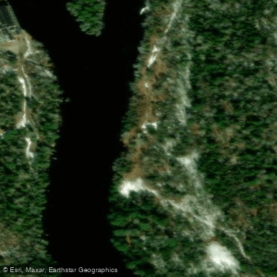
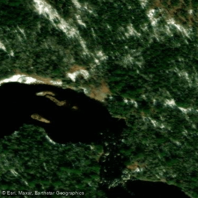
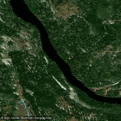
The St. Croix River is a scenic and historically significant waterway that forms part of the international border between Maine and New Brunswick, Canada. Originating in the Chiputneticook Lakes region, which includes North Lake, East Grand Lake, and Spednic Lake, the river flows southward for approximately 100 miles before emptying into Passamaquoddy Bay, an inlet of the Bay of Fundy. The St. Croix offers diverse paddling opportunities, ranging from flatwater lake paddling in its headwaters to more challenging whitewater sections downstream.
The most popular paddling route runs from Vanceboro to Kellyland, covering about 33 miles of river. This section features mostly Class I-III rapids, making it suitable for intermediate paddlers with some whitewater experience. The paddling season typically runs from May to October, with optimal water levels usually occurring in late spring and early summer. Fall foliage trips can be spectacular but may require more careful navigation due to lower water levels.
Wildlife is abundant along the St. Croix, with opportunities to spot bald eagles, ospreys, moose, and various fish species. The river corridor is characterized by a mix of northern hardwood and coniferous forests, creating a diverse and picturesque landscape.
Key landmarks include the historic border town of Vanceboro, where paddlers often begin their journey, and the Kellyland dam, a common take-out point. The river passes through a largely undeveloped wilderness, offering a sense of remoteness and natural beauty. Access points are somewhat limited, with Vanceboro serving as the primary put-in location and Kellyland as the main take-out. Forest City, located on Spednic Lake, provides an alternative starting point for longer trips that incorporate lake paddling.
The St. Croix River holds significant historical and cultural importance, having been used for centuries by indigenous peoples and later playing a role in the region's logging industry. Today, it is valued for its recreational opportunities and as an important ecological corridor.
Safety considerations include being prepared for remote wilderness travel, as cell phone coverage can be limited. Paddlers should be aware of potential weather changes and bring appropriate gear. A permit is required for camping along the river, and regulations regarding border crossings should be observed, as the river forms an international boundary.
Multi-day trips are popular on the St. Croix, with many paddlers opting for 3-4 day journeys from Vanceboro to Kellyland. Longer expeditions can incorporate paddling on Spednic Lake or continue beyond Kellyland for those seeking extended adventures.
Overall, the St. Croix River offers a rewarding paddling experience that combines natural beauty, moderate whitewater challenges, and a rich historical backdrop, making it a premier destination for canoeists and kayakers in eastern Maine.
Curated routes
Hand-picked by the PaddleWays team, with put-ins, take-outs, paddle times and the hazards along the way.
RouteClass I–II
Hazards
No paddler has reported a hazard here yet, so these are the dams, falls and big rapids on our map. Hazards change with flows and storms, so check them before you launch.
From the community
Nobody has shared a trip on St. Croix River yet. Paddle it, then tell the next paddler how it went.
See exactly where the public can get on and off the river. Launch points and boat ramps are paired with PaddleWays' public land data so you know where you can legally land.
Public shoreline
0%of the river's shoreline is public
Most of the riverbank is private. Launch, land and camp only at public access points.
Flows, weather and a route-by-route verdict, so you know which stretch of the St. Croix River is worth paddling today.
All Flow Stations
Live flows, marked hazards and fresh trip reports from paddlers who were just on the water, all in one place.





Every user gets free access to launch points, boat ramps, and public property parcels.
Loading popular cities...
PaddleWays gives you everything you need to plan smarter, paddle better, and own every trip from first launch to takeout.