Curated by PaddleWays
RouteClass I
- Distance
- 13.1 mi
- Paddle time
- ~4.5 hrs
- Put-in → take-out
- King Arthur Road Access → Telegraph Road Access
Potential obstacles and low water conditions
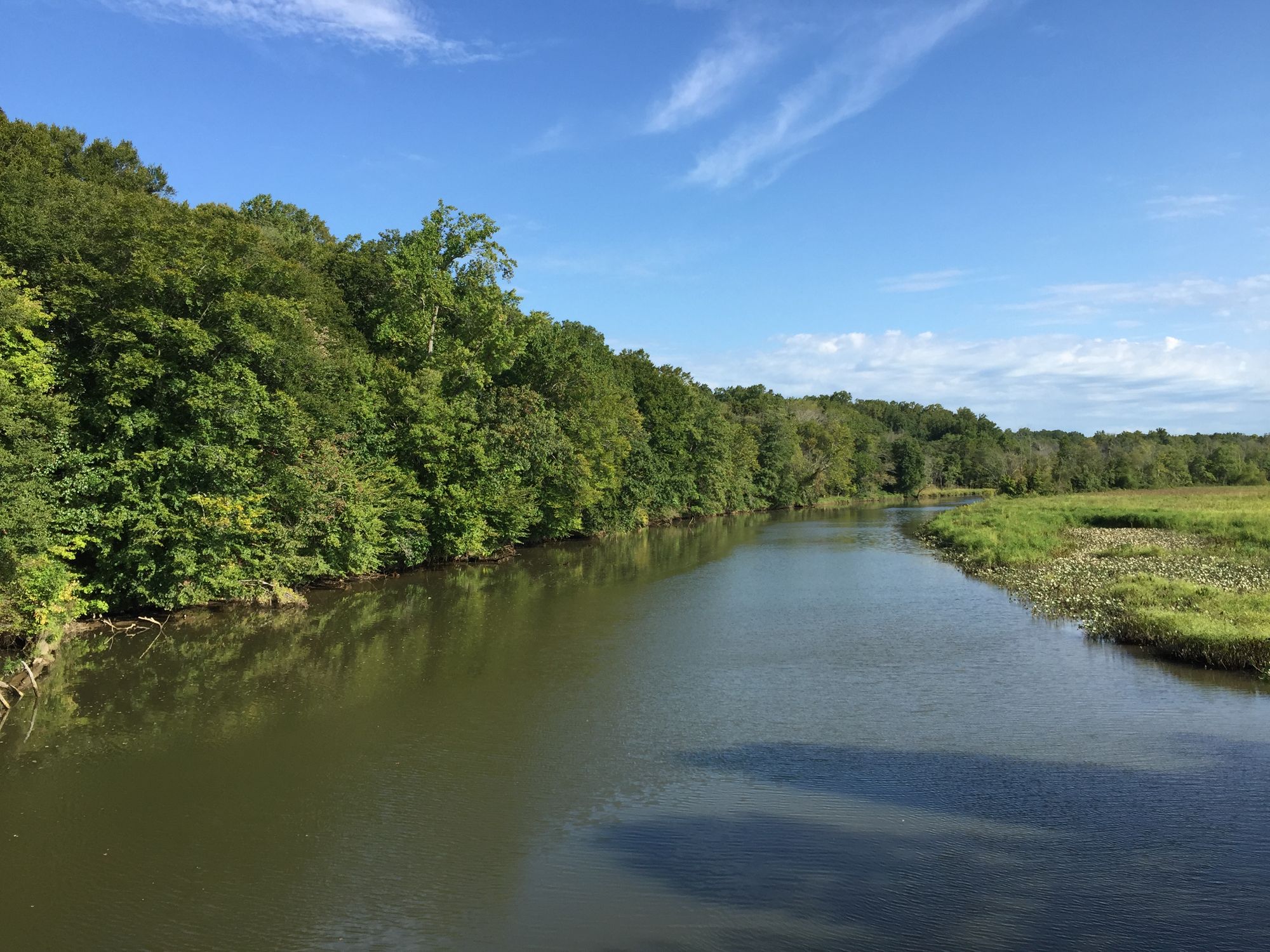
Accotink Creek is a modest but ecologically significant waterway in Fairfax County, Virginia. Originating near the city of Fairfax, the creek flows southeast for approximately 25 miles before emptying into the Potomac River at Accotink Bay. As it meanders through suburban Northern Virginia, Accotink Creek drains a watershed of about 51 square miles.
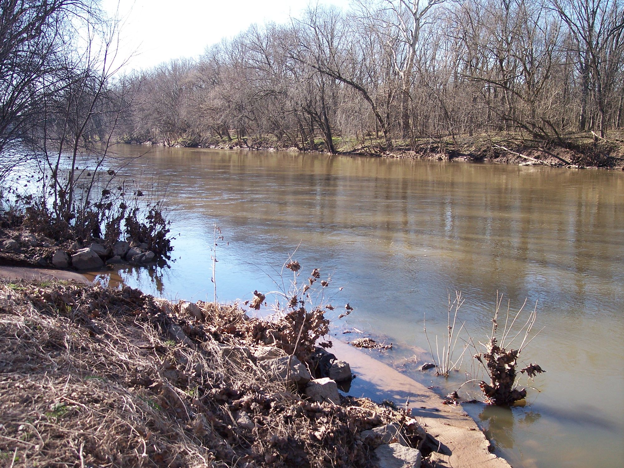
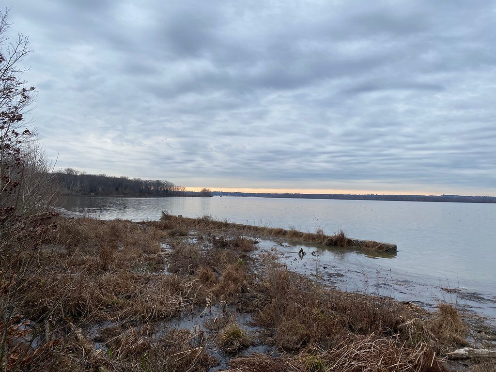
For most of its length, Accotink Creek is a shallow, rocky stream characterized by frequent riffles and small rapids. This makes it generally unsuitable for extended paddling trips, though some intrepid kayakers may attempt short runs during high water events. The most viable section for recreational paddling is the tidal portion near the creek's mouth, from Telegraph Road to Accotink Bay.
The creek's difficulty ranges from flatwater in its lower tidal section to Class I-II in its upper reaches. Paddlers attempting the non-tidal sections should be prepared for technical maneuvering around rocks and fallen trees, as well as frequent portages. The tidal section is more forgiving and suitable for beginners, though all paddlers should be aware of potential submerged obstacles.
Spring and fall typically offer the best paddling conditions, with higher water levels and moderate temperatures. Summer can bring low water and dense vegetation, while winter paddling requires cold water gear and caution regarding ice formations.
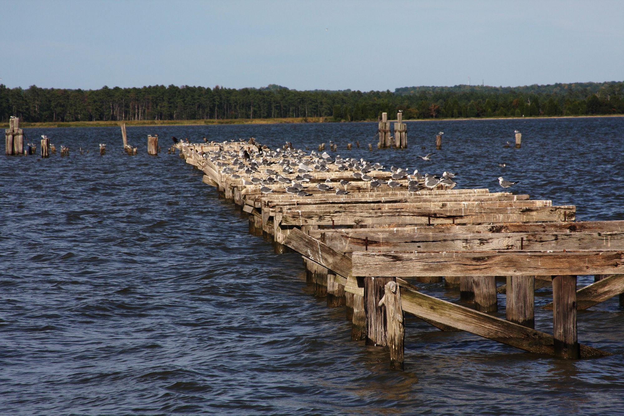
The Accotink Creek corridor supports a diverse ecosystem. Paddlers may encounter wildlife such as beavers, herons, bald eagles, and ospreys. The invasive aquatic plant Hydrilla is prevalent in Accotink Bay, forming dense underwater meadows.
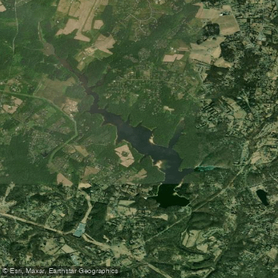
Key landmarks include Lake Accotink, a man-made reservoir popular for recreation, and Fort Belvoir, through which the creek flows before joining the Potomac. Access points are limited, with put-ins available at King Arthur Road, Telegraph Road, and Ward Park Lane in Fairfax County.
Historically, Accotink Creek played a role in early colonial settlement and later in the Civil War, with several skirmishes occurring along its banks. Today, the creek faces challenges from urban development and stormwater runoff, making it a focus of local conservation efforts.
Safety considerations include monitoring water levels, as the creek can rise rapidly after heavy rains. Paddlers should also be aware of potential water quality issues, especially after storms. There are no formal regulations specific to paddling Accotink Creek, but standard boating safety rules apply in the tidal section.
While multi-day trips are not feasible on Accotink Creek itself, paddlers can incorporate it into longer Potomac River expeditions, using the tidal section as a scenic side trip or starting point for exploring the broader Chesapeake Bay watershed.
Curated routes
Hand-picked by the PaddleWays team, with put-ins, take-outs, paddle times and the hazards along the way.
RouteClass I
Hazards
No hazards are marked on Accotink Creek yet. That is not the same as none being there: if you find one, report it for the next paddler.
From the community
Nobody has shared a trip on Accotink Creek yet. Paddle it, then tell the next paddler how it went.
See exactly where the public can get on and off the river. Launch points and boat ramps are paired with PaddleWays' public land data so you know where you can legally land.
Public shoreline
50%of the river's shoreline is public
Flows, weather and a route-by-route verdict, so you know which stretch of the Accotink Creek is worth paddling today.
All Flow Stations
Live flows, marked hazards and fresh trip reports from paddlers who were just on the water, all in one place.





Every user gets free access to launch points, boat ramps, and public property parcels.

Loading popular cities...
PaddleWays gives you everything you need to plan smarter, paddle better, and own every trip from first launch to takeout.