Rappahannock River

Rappahannock River
- Boat Ramps
- 4
- Access Points
- 8
- Campsites
- 1
The Rappahannock River is a waterway that flows for approximately 195 miles through eastern Virginia, from its headwaters in the Blue Ridge Mountains to its mouth at the Chesapeake Bay. As one of the longest free-flowing rivers in the eastern United States, the Rappahannock offers paddlers a wide range of experiences, from challenging whitewater to serene flatwater stretches.
The upper Rappahannock, near its source, is more akin to a swift-flowing creek, featuring tight maneuvering and technical challenges. As it gains volume, the river transitions into a series of pool-drop sections with rapids ranging from Class I to III. The most popular paddling sections are found between Remington and Fredericksburg, where the river offers a mix of exciting rapids and calm stretches suitable for a variety of skill levels.
One of the most frequented runs is the 6-mile stretch from Hole in the Wall to Motts Run, which provides an excellent introduction to whitewater paddling with its Class I-II rapids. More experienced paddlers often opt for the 4-mile Motts Run to Virginia Outdoor Center (VOC) section, which features slightly more challenging Class II rapids. For those seeking a longer adventure, the 10-mile trip from Hole in the Wall to VOC combines these two popular sections.
The river's character changes dramatically at Fredericksburg, where it tumbles over the fall line, creating a thrilling mile-long stretch of Class II-III rapids known as the Falmouth Rapids. Below Fredericksburg, the Rappahannock transitions into a tidal river, offering peaceful flatwater paddling opportunities all the way to the Chesapeake Bay.
Spring and early summer typically provide the best water levels for paddling the upper sections, while the lower tidal portions can be enjoyed year-round. However, it's crucial to check water levels before any trip, as the river can become dangerously high during heavy rains or too low during dry spells.
The Rappahannock's banks are home to a diverse ecosystem, supporting bald eagles, ospreys, and a variety of fish species, including smallmouth bass and catfish. The river is also an important spawning ground for American shad and striped bass. Paddlers often enjoy spotting wildlife and taking in the scenic beauty of the surrounding forests and occasional riverside cliffs.
Historical significance abounds along the Rappahannock, with notable sites such as Ferry Farm, George Washington's boyhood home, and the Civil War battlefields near Fredericksburg. The river played a crucial role in early colonial transportation and commerce, and its banks have been inhabited for thousands of years by indigenous peoples.
For those interested in multi-day trips, popular options include the 25-mile overnight journey from Kelly's Ford to Motts Run, which offers a mix of gentle rapids and scenic camping spots. More ambitious paddlers might consider the three-day trip from an unspecified upper location to the confluence of two rivers, providing an immersive wilderness experience.
Key access points along the river include Remington, Kelly's Ford, Ely's Ford, Motts Run, and various locations in Fredericksburg such as Old Mill Park and City Dock. These towns and access points serve as gateways to different sections of the river, each offering its own unique paddling experience.
Safety is paramount on the Rappahannock, and all paddlers should wear life jackets, be aware of water levels and potential hazards, and have a solid plan before embarking on any trip. It's also important to respect private property along the banks and to practice Leave No Trace principles to preserve the river's natural beauty.
Whether you're a novice looking for a gentle float or an experienced paddler seeking whitewater thrills, the Rappahannock River offers a paddling adventure for everyone, set against the backdrop of Virginia's rich natural and cultural heritage.
Water access, boat ramps & amenities
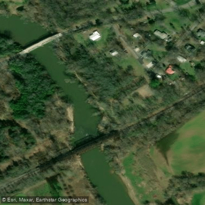
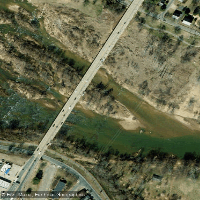
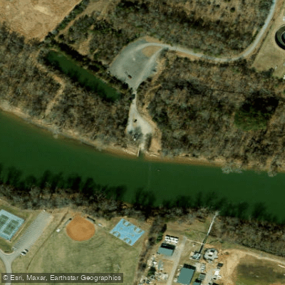
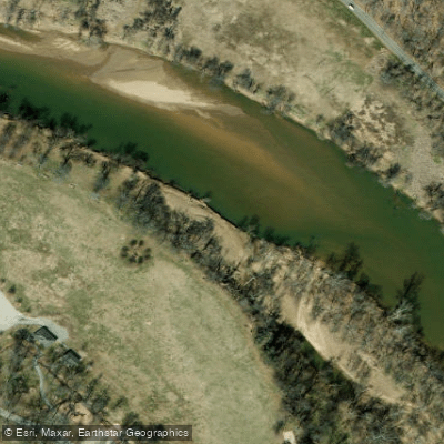
Learn how to get on Rappahannock River. Uncover great paddling access points, boat ramps, and all the facilities you need for an unforgettable day on the water. Some locations shown may border or include private property. Always check property boundaries and applicable regulations before visiting. PaddleWays's Public & Private Land layer can help you plan your access with confidence.
Paddle smarter with real-time insights
Whether you're en route and conditions shift or you're looking for the best spot based on current flows, we enable you to make informed decisions on the fly.








Find Places to Paddle

Over 400,000 Places to Paddle
Every user gets free access to launch points, boat ramps, and public property parcels.


Water and weather conditions (10 day forecast)
See the best times to paddle Rappahannock River and check the forecast before you go.
RAPPAHANNOCK RIVER AT REMINGTON, VA
All Flow Stations
Paddling near Rappahannock River

Potomac River
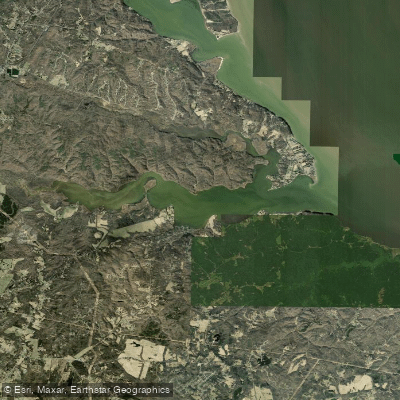
Potomac Creek
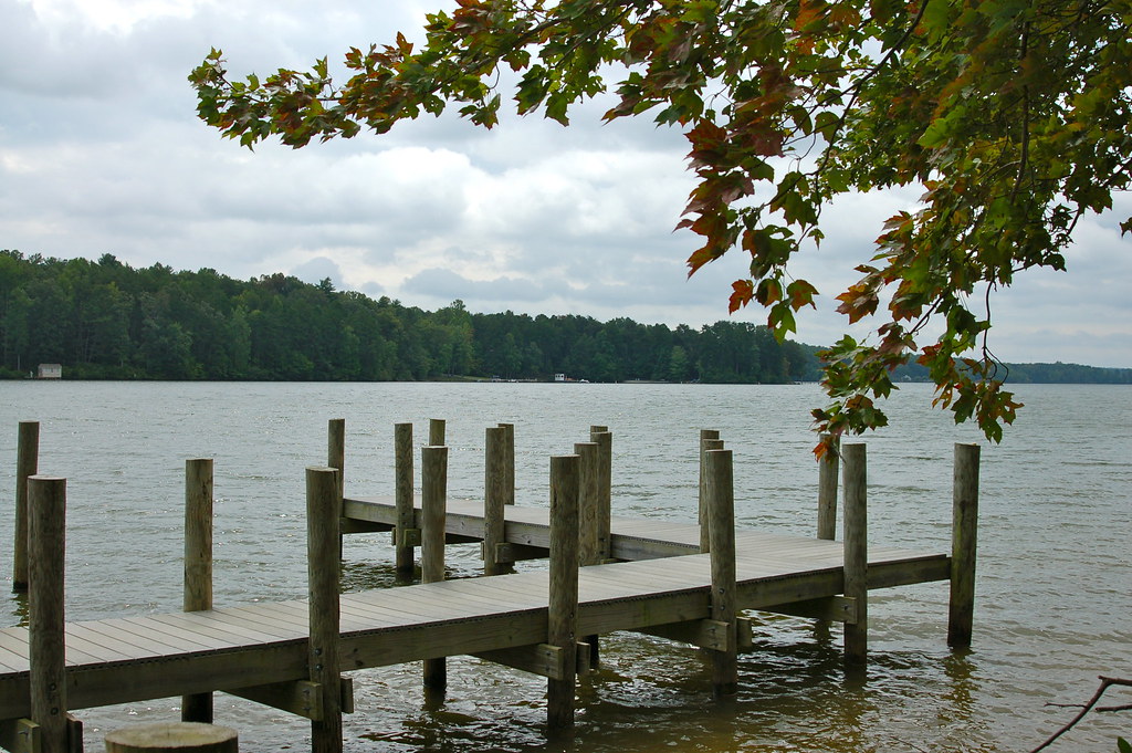
Lake Anna
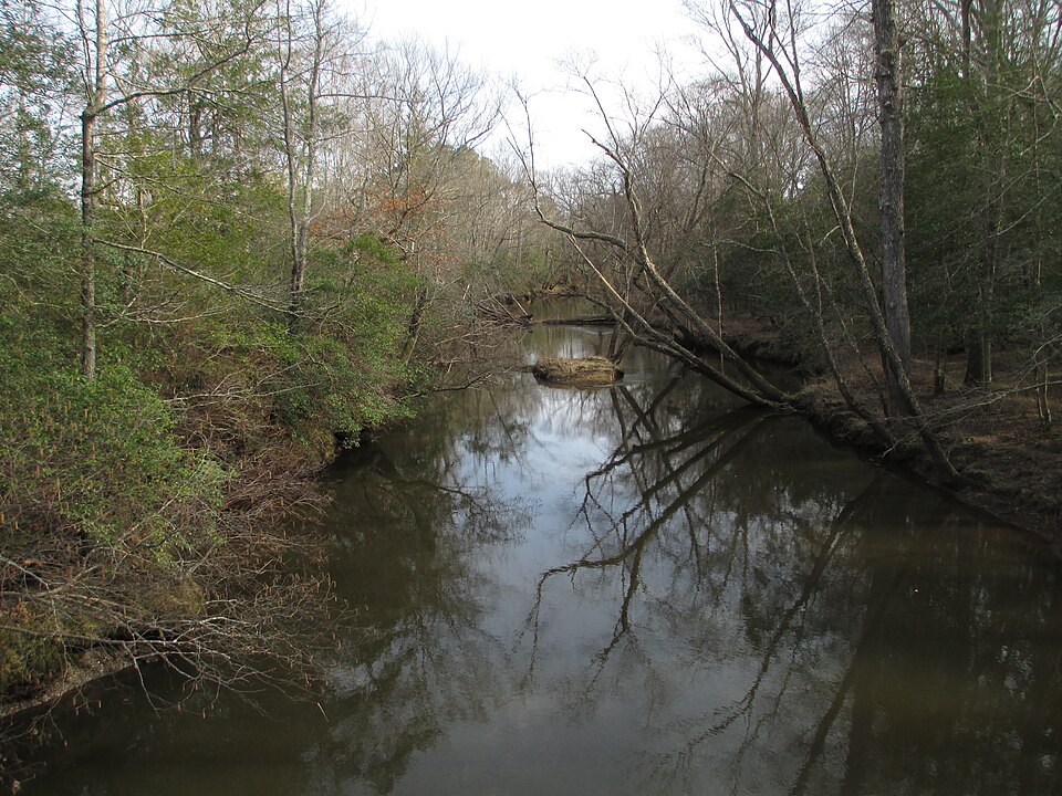
Mattaponi River
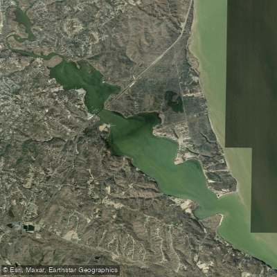
Aquia Creek

James River

Patuxent River
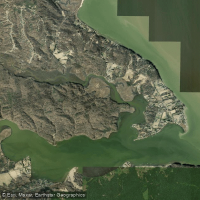
Accokeek Creek
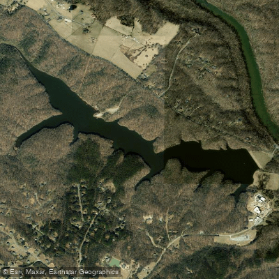
Motts Run Reservoir
Explore Virginia waters
Top paddling waters
Popular Cities
Loading popular cities...
Explore near Rappahannock River
Access points
Nearby waters
More in Virginia

Smarter Paddling Starts in the App.
Paddleways gives you everything you need to plan smarter, paddle better, and own every trip from first launch to takeout.