Bohemia River
- Saltwater
- Tidal river
Bohemia River
- Saltwater
- Tidal river
- Sq. miles
- 1.4
- Boat Ramps
- 1
- Access Points
- 0
- Campsites
- 1
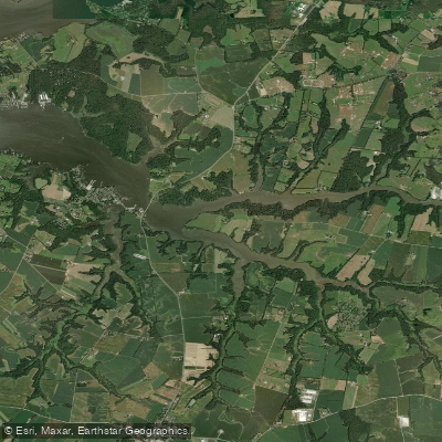
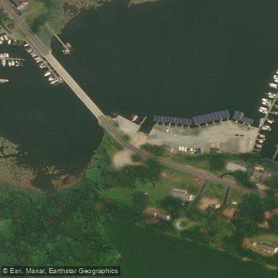
The Bohemia River is a wide, tidal river on Maryland's Eastern Shore, a tributary of the upper Chesapeake Bay. Paddling here is a saltwater experience governed by tides. The primary public launch for paddlers is the Bohemia River Bridge Soft Launch, located at the eastern end of the Route 213 bridge. This is a soft launch requiring a 75-yard carry down a narrow trail from a very small parking area with space for only 4-6 vehicles and no room for trailer turnaround. While the new Bohemia River State Park offers significant shoreline frontage on the river and its tributaries like Great Bohemia Creek and Burkalow Creek, there is currently no vehicular access to the waterfront from within the park itself. The park service encourages paddlers to use the bridge launch. Once on the water, the stretch bordering the state park is wide and relatively quiet, though boat wakes from speedboats or tubers can be an issue, especially on summer weekends. The area under and near the bridge has marinas on the far shore. A recommended route is to pass under the bridge from the launch and bear left to explore the creek fronting the park. Another notable paddle trip is across the river into Scotchman Creek, which is a great destination. The river's tidal nature means currents and water levels will change significantly throughout the day; planning to paddle with the tide is advisable for easier travel. Wildlife viewing is a key attraction, with frequent sightings of Bald Eagles, deer, and various waterfowl. The shoreline is fringed with marshes and phragmites, offering a mix of open water views and sheltered creek environments. The park is used for managed deer hunting, so paddlers should be aware of hunting seasons when planning trips near the shoreline.
Water access, boat ramps & amenities
Learn how to get on Bohemia River. Uncover great paddling access points, boat ramps, and all the facilities you need for an unforgettable day on the water. Some locations shown may border or include private property. Always check property boundaries and applicable regulations before visiting. PaddleWays's Public & Private Land layer can help you plan your access with confidence.
Paddle smarter with real-time insights
Whether you're en route and conditions shift or you're looking for the best spot based on current flows, we enable you to make informed decisions on the fly.








Find Places to Paddle

Over 400,000 Places to Paddle
Every user gets free access to launch points, boat ramps, and public property parcels.


Tides, wind & water conditions (10 day forecast)
On open water, wind and tide matter as much as the weather. See the best times to paddle Bohemia River and check the marine forecast before you launch.
Loading tide predictions…
Paddling near Bohemia River
Lums Pond

Delaware River
Sassafras River

Susquehanna River
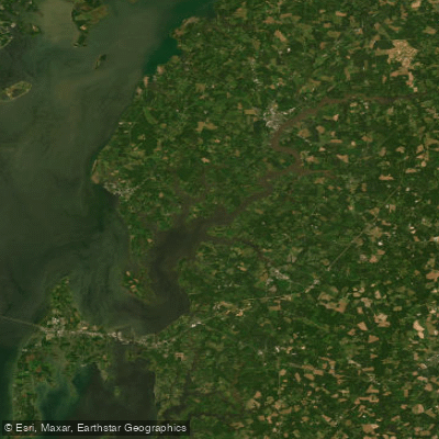
Chester River
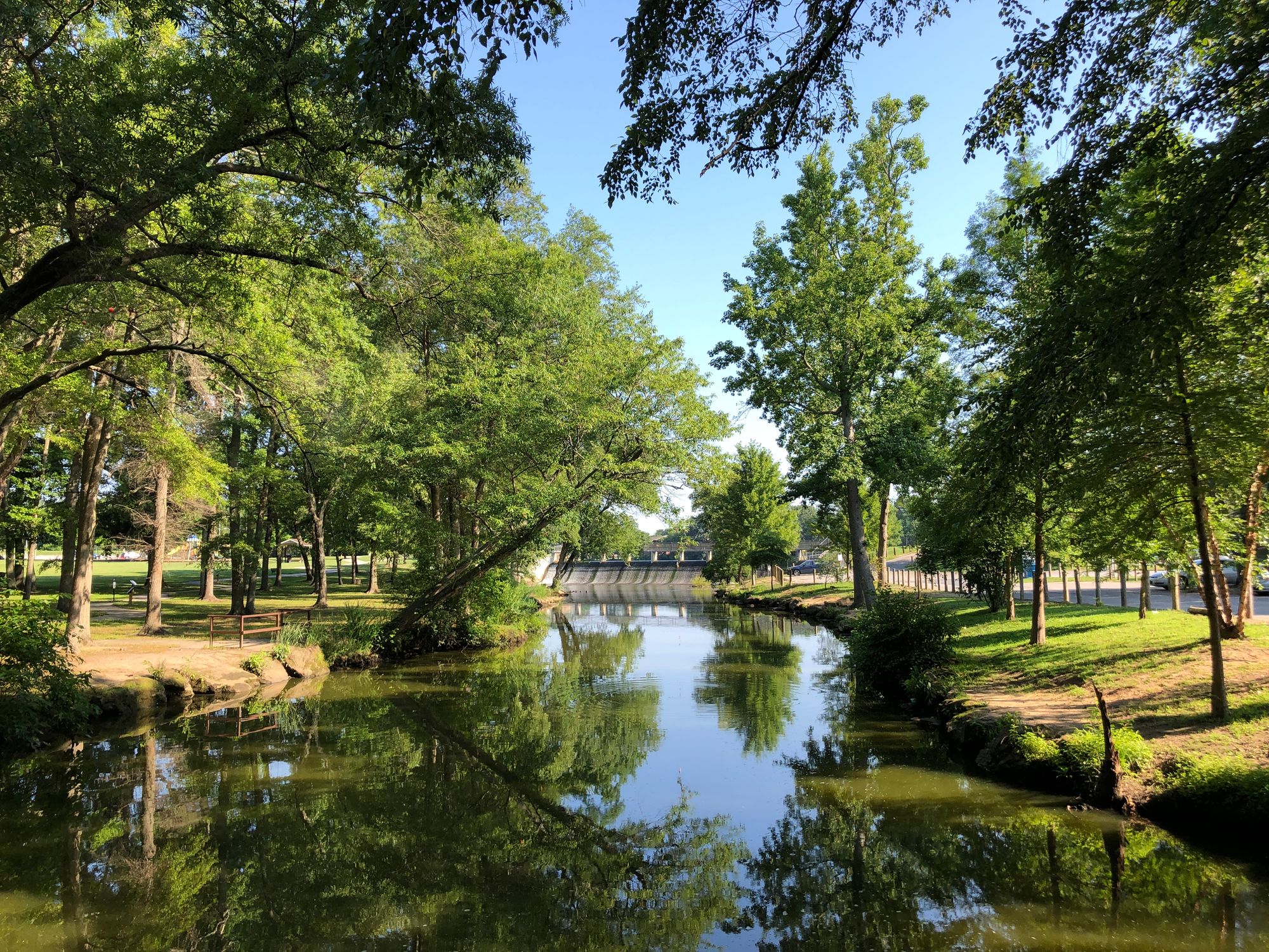
Saint Jones River
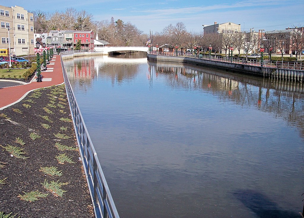
Cohansey River
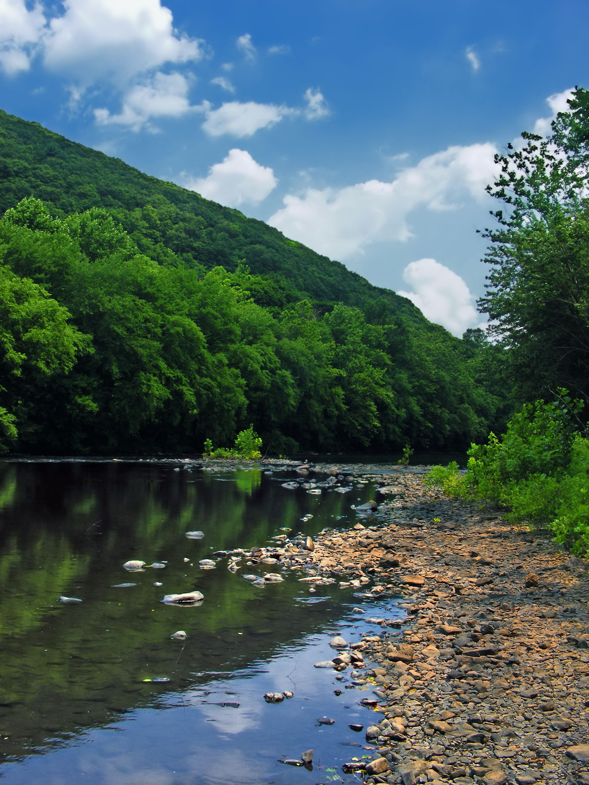
Schuylkill River
Explore Maryland waters
Top paddling waters
Popular Cities
Loading popular cities...
Explore near Bohemia River
Access points
Nearby waters
More in Maryland

Smarter Paddling Starts in the App.
Paddleways gives you everything you need to plan smarter, paddle better, and own every trip from first launch to takeout.