Sassafras River
- Saltwater
- Tidal river
Sassafras River
- Saltwater
- Tidal river
- Sq. miles
- 9.7
- Boat Ramps
- 3
- Access Points
- 0
- Campsites
- 1
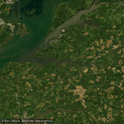
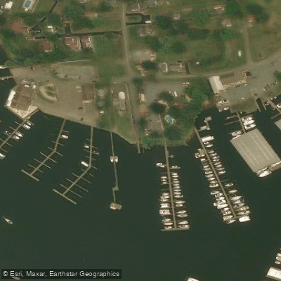
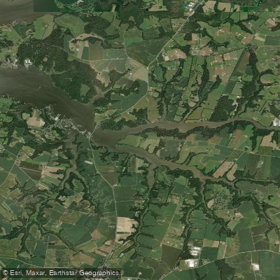
The Sassafras River is a tidal river over 20 miles long in Maryland, flowing through Cecil and Kent counties before meeting the Chesapeake Bay. Its upper section near the town of Sassafras is narrow, averaging about 20 feet wide, and flows through a heavily wooded corridor with shallow water. After passing under the Route 301 bridge, the river widens and the landscape transitions to farmland with some residential areas. Downriver from the Route 213 bridge, the twin ports of Georgetown and Fredericktown feature busy marinas and are centers for recreational boating. The lower river near its mouth is lined with dramatic, forested cliffs that provide habitat for bald eagles, which are commonly seen. The river is a popular multi-use waterway, experiencing heavy powerboat traffic, especially on weekends from May through October, which creates numerous confused waves. For quieter paddling, the many tributary creeks offer shallow waters accessible primarily to small craft.
Key public access points include Turner’s Creek Park and Duffy Creek Marina, which has a public boat ramp and parking lot near Galena. Other potential launches include Shallowcross Wharf, which involves a difficult climb down loose granite rocks, and a public boat launch near the Granary Restaurant and Marina. Some sites, like a launch in Georgetown, may be privately restricted with "No Trespassing" signs, so confirming public access is advised. Paddlers must account for significant tidal currents; one account describes starting a trip paddling east against the tide. A slow boat/no-wake zone exists about a mile west of the Route 213 drawbridge, but boat traffic in the main channel remains substantial. The river is best paddled in spring, summer, and fall. The water supports a variety of wildlife including blue crabs, turtles, and small fish in the shallows.
Water access, boat ramps & amenities
Learn how to get on Sassafras River. Uncover great paddling access points, boat ramps, and all the facilities you need for an unforgettable day on the water. Some locations shown may border or include private property. Always check property boundaries and applicable regulations before visiting. PaddleWays's Public & Private Land layer can help you plan your access with confidence.
Paddle smarter with real-time insights
Whether you're en route and conditions shift or you're looking for the best spot based on current flows, we enable you to make informed decisions on the fly.








Find Places to Paddle

Over 400,000 Places to Paddle
Every user gets free access to launch points, boat ramps, and public property parcels.


Tides, wind & water conditions (10 day forecast)
On open water, wind and tide matter as much as the weather. See the best times to paddle Sassafras River and check the marine forecast before you launch.
Loading tide predictions…
Paddling near Sassafras River
Lums Pond

Delaware River

Susquehanna River
Chester River
Saint Jones River
Cohansey River
Bohemia River
Schuylkill River
Explore Maryland waters
Top paddling waters
Popular Cities
Loading popular cities...
Explore near Sassafras River
Access points
- North Point Black Marsh Boat Ramp
- Elmer Lake Wildlife Management Area Boat Ramp
- Jefferson Patterson Park & Museum Boat Ramp
- Sassafras River Bridge
- Sassafras River Bridge
- Jacobs Creek Bridge
- Mill Creek Bridge
- Swantown Creek Bridge
- Woodland Creek Bridge
- Trib Of Sassafras River Bridge
- Still Pond Creek Bridge
- Little Bohemia Creek Bridge
- All 23 spots
Nearby waters
More in Maryland

Smarter Paddling Starts in the App.
Paddleways gives you everything you need to plan smarter, paddle better, and own every trip from first launch to takeout.