Curated by PaddleWays
RouteClass I–II
- Distance
- 26.5 mi
- Paddle time
- ~9 hrs
- Best for
- Beginners, intermediate paddlers
- Put-in → take-out
- Doubs Meadow Park Access → Christian Park Boat Ramp
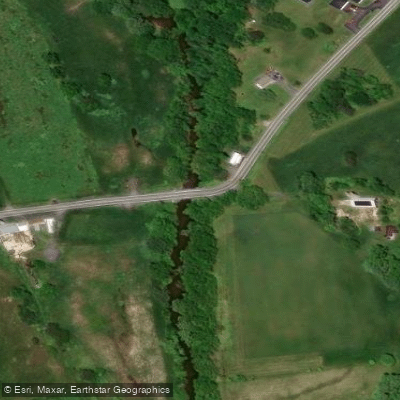
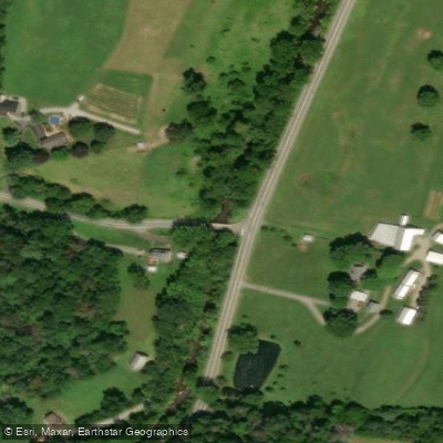
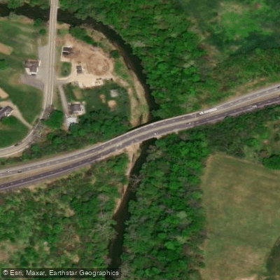
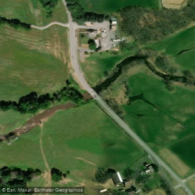
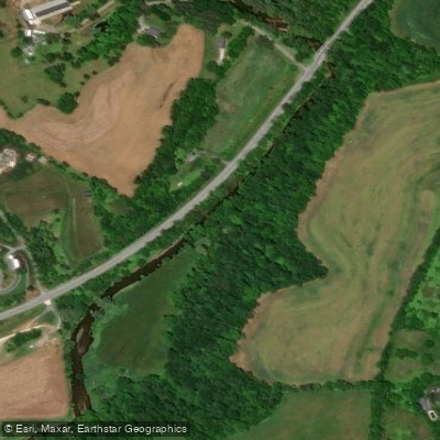
Catoctin Creek originates in the Catoctin Mountains of northern Frederick County, Maryland, flowing southward for approximately 29 miles before joining the Potomac River near the town of Brunswick. This tributary drains the eastern slopes of the Catoctin range, passing through a mix of forested mountain terrain, agricultural valleys, and small historic communities including Middletown and Jefferson.
The creek offers a predominantly Class I-II paddling experience suitable for novice to intermediate kayakers and canoeists. The most documented section runs from US Route 40 near Doubs Meadow Park downstream to the Potomac River confluence, covering roughly 28.8 miles. This stretch features gentle riffles, occasional rocky shallows, and a consistent downstream current averaging around 2 mph.
Water levels are critical for successful navigation—paddlers should consult the USGS gauge near Middletown, with minimum flows of 215 cubic feet per second (cfs) recommended for the lower sections and 350 cfs for areas upstream of the MD 77 bridge. Spring runoff from March through May provides the most reliable water levels, with May historically receiving the heaviest precipitation. Summer and fall often see insufficient flows unless recent rainfall has occurred. The creek's relatively forgiving nature makes it accessible to families and beginners, though attention to water depth is essential to avoid frequent portaging through shallow sections.
The waterway supports populations of smallmouth bass, sunfish, catfish, and native brook trout in cooler upstream reaches. Riparian forests of sycamore, pawpaw, and oak provide habitat for bald eagles, barred owls, and various waterfowl.
The creek corridor includes notable landmarks such as the historic LeGore Arch Bridge, constructed around 1900, and passes near Catoctin Mountain Park and Greenbrier State Park. Access points are concentrated in the lower and middle sections, with launches near Middletown, Jefferson, and Brunswick providing options for trips ranging from two hours to full-day excursions. The creek's proximity to Frederick makes it a convenient paddling destination for residents of central Maryland.
Historically, Catoctin Creek powered numerous mills during the 18th and 19th centuries, contributing to Frederick County's agricultural economy. The name derives from the Shawnee language, though its exact meaning remains debated.
Paddlers should be aware that most shoreline is privately owned, making trespassing unlawful. The creek's shallow nature and rocky bottom can damage fiberglass or composite hulls, making plastic boats preferable. No overnight camping is permitted at public landings, and waterfowl hunting occurs seasonally. Always check current water levels before launching and carry adequate provisions for extended trips, as public access points are limited along certain stretches.
Curated routes
Hand-picked by the PaddleWays team, with put-ins, take-outs, paddle times and the hazards along the way.
RouteClass I–II
Hazards
No paddler has reported a hazard here yet, so these are the dams, falls and big rapids on our map. Hazards change with flows and storms, so check them before you launch.
From the community
Nobody has shared a trip on Catoctin Creek yet. Paddle it, then tell the next paddler how it went.
See exactly where the public can get on and off the river. Launch points and boat ramps are paired with PaddleWays' public land data so you know where you can legally land.
Public shoreline
5%of the river's shoreline is public
Most of the riverbank is private. Launch, land and camp only at public access points.
Flows, weather and a route-by-route verdict, so you know which stretch of the Catoctin Creek is worth paddling today.
Live flows, marked hazards and fresh trip reports from paddlers who were just on the water, all in one place.





Every user gets free access to launch points, boat ramps, and public property parcels.

Loading popular cities...
PaddleWays gives you everything you need to plan smarter, paddle better, and own every trip from first launch to takeout.