Curtis Bay
- Saltwater
- Bay
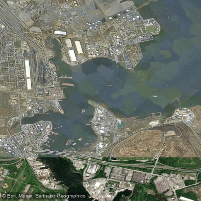
Curtis Bay
- Saltwater
- Bay
- Sq. miles
- 1.2
- Boat Ramps
- 0
- Access Points
- 0
- Campsites
- 2
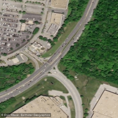
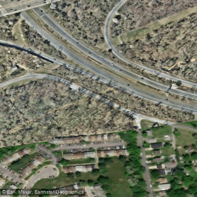
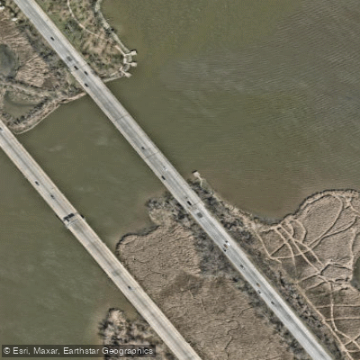
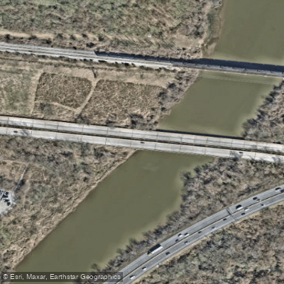
Curtis Bay is a tidal, saltwater bay on the Chesapeake Bay near Baltimore, Maryland. The primary and most detailed access point for paddlers is Solleys Cove Park, located at 7360 Carbide Road in Curtis Bay. This Anne Arundel County park offers a public boat ramp with a dedicated kayak beach launch and a floating dock, open from sunrise to sunset year-round. Parking includes long spaces for trailers and regular car spots. The launch provides direct access to Curtis Creek. From here, paddlers can head into sheltered creeks like Marley Creek and Furnace Creek or venture out into the broader waters of Curtis Bay and the Chesapeake Bay. The area is characterized by a post-industrial coastline with abandoned maritime infrastructure. A notable feature is the presence of historic shipwrecks visible at low tide, often described as a ship graveyard. The water body experiences active boat traffic, particularly near the Coast Guard Yard and channels leading to the Chesapeake, so paddlers must be vigilant for larger vessels. Wind exposure and fetch can be significant when leaving the sheltered creeks for the open bay, creating conditions that require experience. The best paddling is often in the sheltered creeks, with trips possible up Marley Creek almost to Route 2 and up Back Creek through old railroad bridge pilings. The park itself is generally quiet on weekdays but sees more activity from crabbers, anglers, and other boaters on weekends. Amenities at Solleys Cove include restrooms and trash cans. Nearby, the American Legion Post 277, within the park, is open to the public and offers food and drink. A popular paddling destination from this launch is Rams Head dockside restaurant on Furnace Creek, which has beachside tables. The overall vibe is one of urban exploration with historical elements, where paddlers navigate a working waterfront with visible remnants of maritime history alongside active commercial and recreational use.
Water access, boat ramps & amenities
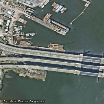
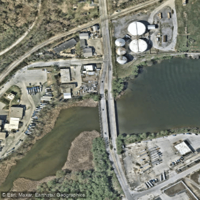
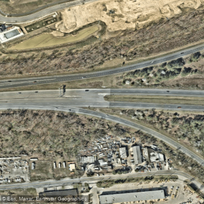
Learn how to get on Curtis Bay. Uncover great paddling access points, boat ramps, and all the facilities you need for an unforgettable day on the water. Some locations shown may border or include private property. Always check property boundaries and applicable regulations before visiting. PaddleWays's Public & Private Land layer can help you plan your access with confidence.
Paddle smarter with real-time insights
Whether you're en route and conditions shift or you're looking for the best spot based on current flows, we enable you to make informed decisions on the fly.








Find Places to Paddle

Over 400,000 Places to Paddle
Every user gets free access to launch points, boat ramps, and public property parcels.


Tides, wind & water conditions (10 day forecast)
On open water, wind and tide matter as much as the weather. See the best times to paddle Curtis Bay and check the marine forecast before you launch.
Loading tide predictions…
Paddling near Curtis Bay
Patapsco River
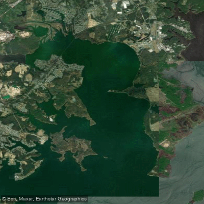
Gunpowder River
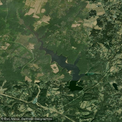
Triadelphia Reservoir

Patuxent River
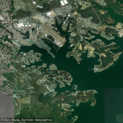
Middle River
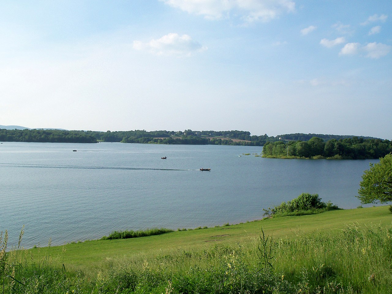
Lake Marburg

Susquehanna River

Potomac River
Explore Maryland waters
Top paddling waters
Popular Cities
Loading popular cities...
Explore near Curtis Bay
Access points
Nearby waters
More in Maryland

Smarter Paddling Starts in the App.
Paddleways gives you everything you need to plan smarter, paddle better, and own every trip from first launch to takeout.