Middle River
- Saltwater
- Tidal river
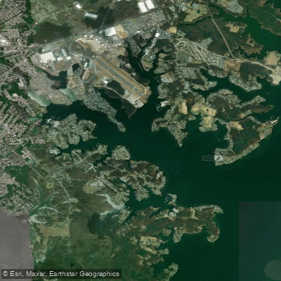
Middle River
- Saltwater
- Tidal river
- Sq. miles
- 3.7
- Boat Ramps
- 3
- Access Points
- 0
- Campsites
- 4
The Middle River Water Trail is a 45-mile designated paddling route in central Iowa, flowing eastward through Adair and Madison Counties. The primary put-in for the full trail is at Middle River Forest County Park in eastern Adair County, which serves as the trailhead. Key downstream access points include Schildberg Access, Roseman Covered Bridge Access, Pammel State Park Access, and the final take-out at the historic Holliwell Covered Bridge southeast of Winterset. Paddlers must note that the river flows entirely through private land, and permission from landowners is required for access unless using the official public access points. The river is a moderately challenging paddle, especially at high or low water levels, with numerous bends, riffles, and occasional chutes and ledges that require navigation. A mandatory portage exists around a historic ford at Pammel Park. The scenery transitions from limestone bluffs and woodlands near the start to a mix of forested hills, rolling pastures, and croplands downstream. Notable sights include two of the famous Bridges of Madison County: the Roseman and Holliwell Covered Bridges. Paddlers may also see the Harmon Tunnel near the Pammel Park portage. Wildlife sightings can include white-tailed deer, river otters, beavers, great blue herons, and bald eagles. The paddling season typically runs from April to October, with the river being most reliable during these warmer months. Water levels should be checked prior to a trip, as low levels can require maneuvering around boulders and snags. There are no permits required for paddling, but camping is restricted to designated sites like those at Pammel Park, which offers tent-only sites. The overall experience is one of a peaceful, scenic float through rural Iowa with a mix of natural beauty and historic landmarks.
Water access, boat ramps & amenities
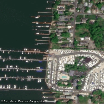
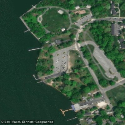
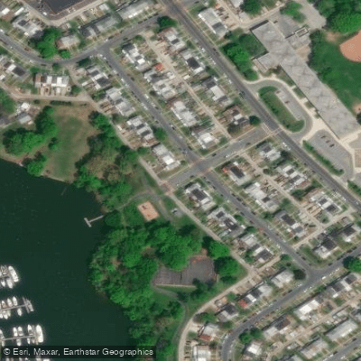
Learn how to get on Middle River. Uncover great paddling access points, boat ramps, and all the facilities you need for an unforgettable day on the water. Some locations shown may border or include private property. Always check property boundaries and applicable regulations before visiting. PaddleWays's Public & Private Land layer can help you plan your access with confidence.
Paddle smarter with real-time insights
Whether you're en route and conditions shift or you're looking for the best spot based on current flows, we enable you to make informed decisions on the fly.








Find Places to Paddle

Over 400,000 Places to Paddle
Every user gets free access to launch points, boat ramps, and public property parcels.


Tides, wind & water conditions (10 day forecast)
On open water, wind and tide matter as much as the weather. See the best times to paddle Middle River and check the marine forecast before you launch.
Loading tide predictions…
Paddling near Middle River
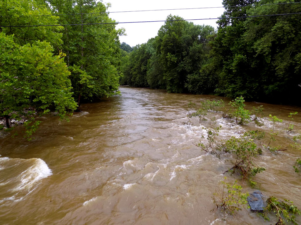
Patapsco River
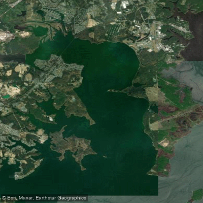
Gunpowder River
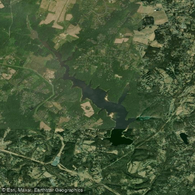
Triadelphia Reservoir

Patuxent River
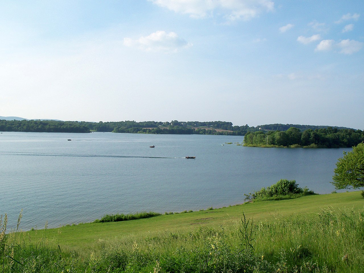
Lake Marburg

Susquehanna River
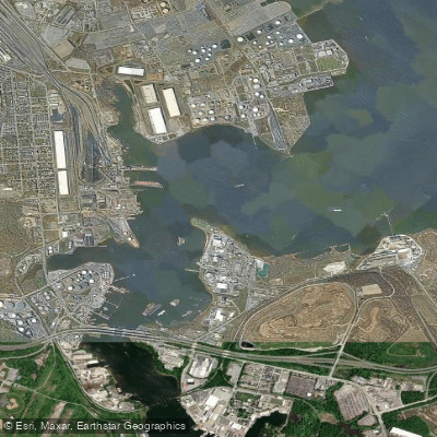
Curtis Bay

Potomac River
Explore Maryland waters
Top paddling waters
Popular Cities
Loading popular cities...
Explore near Middle River
Access points
Nearby waters
More in Maryland

Smarter Paddling Starts in the App.
Paddleways gives you everything you need to plan smarter, paddle better, and own every trip from first launch to takeout.