Gunpowder River
- Saltwater
- Tidal river
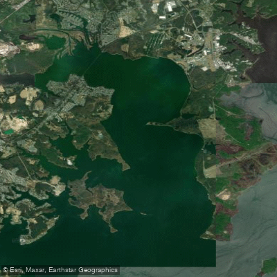
Gunpowder River
- Saltwater
- Tidal river
- Sq. miles
- 16
- Boat Ramps
- 6
- Access Points
- 0
- Campsites
- 3
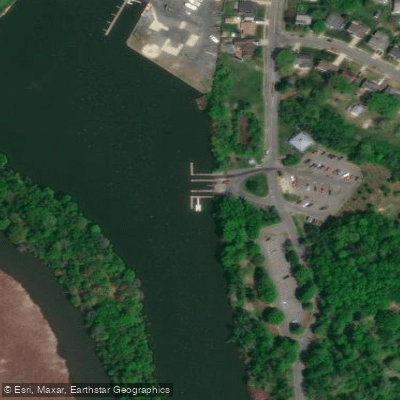
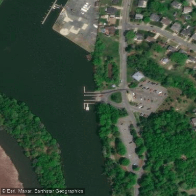
The Gunpowder River in Maryland offers distinct paddling experiences across its freshwater and tidal sections. For a freshwater river trip, a popular route runs between Prettyboy and Loch Raven Reservoirs, specifically from a put-in at Masemore Road to a take-out at Monkton Road, with an optional shorter take-out at Blue Mount Road. This section is a trout stream with Class I-II rapids, where water releases from the upstream reservoir typically occur during August and September to maintain adequate flow; paddlers are advised to check water levels, which need to be at least 1.7 feet. The scenery is beautiful and serene, featuring one notably wet rapid. A bike path runs beside the river near the take-out, and a train station at Monkton Road provides restroom facilities. For tidal saltwater paddling, a primary launch is at Mariner Point Park in Joppatowne, which has two concrete boat launches and parking that can get very busy on weekends. From here, paddlers access the broad Gunpowder Basin and the adjoining Little Gunpowder Falls. This area is a vast, open salt marsh network where paddling is heavily influenced by wind and tide; a windless day with a favorable tide provides easy paddling, but chop can develop with wind. Wildlife sightings are abundant, including great blue herons, osprey, and red-winged blackbirds. Exploration options include paddling around Mariner Point, into Big Gunpowder Falls, Days Cove, and Gunpowder Cove, though some narrow channels may be obstructed by fallen trees. The Hammerman Area of Gunpowder Falls State Park is another noted access point for events and general paddling on the tidal river.
Water access, boat ramps & amenities
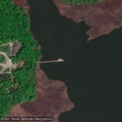
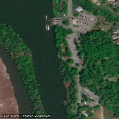
Learn how to get on Gunpowder River. Uncover great paddling access points, boat ramps, and all the facilities you need for an unforgettable day on the water. Some locations shown may border or include private property. Always check property boundaries and applicable regulations before visiting. PaddleWays's Public & Private Land layer can help you plan your access with confidence.
Paddle smarter with real-time insights
Whether you're en route and conditions shift or you're looking for the best spot based on current flows, we enable you to make informed decisions on the fly.








Find Places to Paddle

Over 400,000 Places to Paddle
Every user gets free access to launch points, boat ramps, and public property parcels.


Tides, wind & water conditions (10 day forecast)
On open water, wind and tide matter as much as the weather. See the best times to paddle Gunpowder River and check the marine forecast before you launch.
Loading tide predictions…
Paddling near Gunpowder River
Patapsco River
Triadelphia Reservoir

Patuxent River
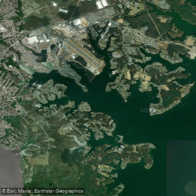
Middle River
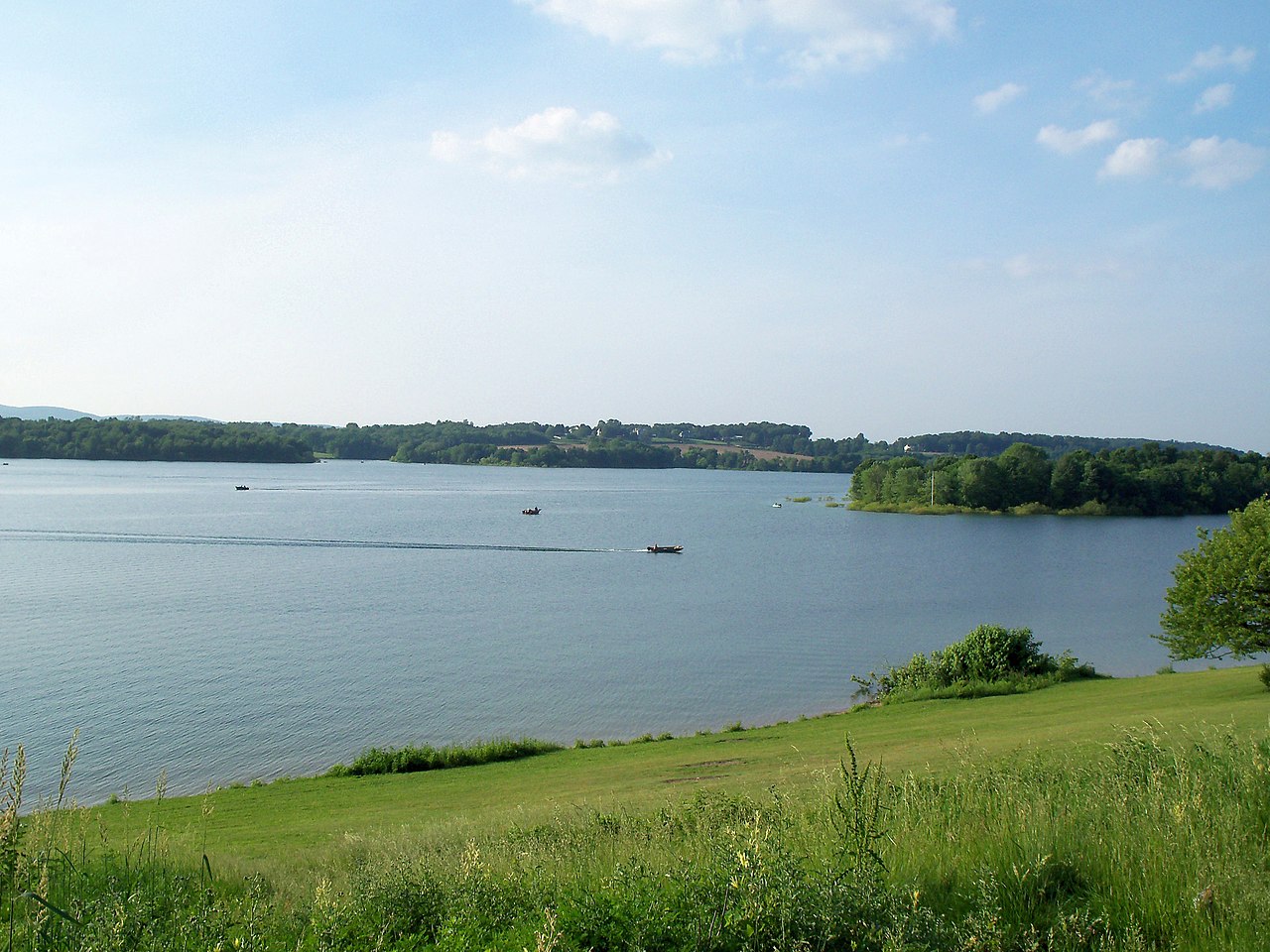
Lake Marburg

Susquehanna River
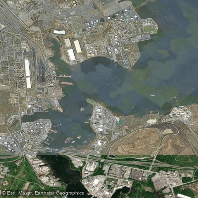
Curtis Bay

Potomac River
Explore Maryland waters
Top paddling waters
Popular Cities
Loading popular cities...
Explore near Gunpowder River
Access points
- Marshy Point Nature Center and Park Boat Ramp
- Mariner Point Park North Boat Ramp
- Mariner Point Park South Boat Ramp
- Mariner Point Park Boat Ramp
- Lock 29 Boat Ramp
- Foster Branch Bridge
- Gunpowder Falls Bridge
- Amtrak Bridge
- Little Gunpowder Falls Bridge
- Gunpowder Falls Bridge
- Little Gunpowder Falls Bridge
- Windlass Run Bridge
- All 45 spots
Nearby waters
More in Maryland

Smarter Paddling Starts in the App.
Paddleways gives you everything you need to plan smarter, paddle better, and own every trip from first launch to takeout.