Fishing Bay
- Saltwater
- Bay
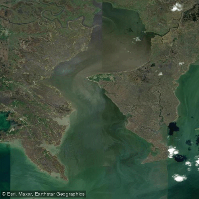
Fishing Bay
- Saltwater
- Bay
- Sq. miles
- 30
- Boat Ramps
- 3
- Access Points
- 0
- Campsites
- 0
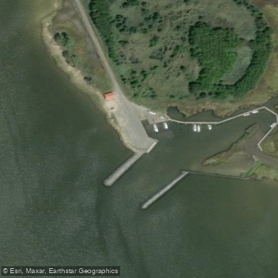
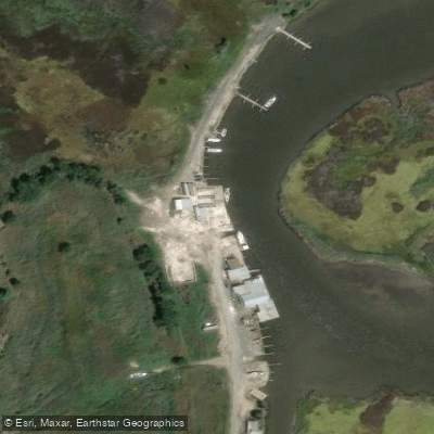
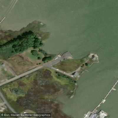
Fishing Bay is a large, protected tidal bay system on Maryland's Eastern Shore, encompassing 28,518 acres of publicly owned tidal wetlands within the Fishing Bay Wildlife Management Area. It offers a remote paddling experience through classic Chesapeake marshes, with a network of coves and channels winding through the wetlands. The primary public access point for paddlers is the Crocheron boat ramp, a free, 24-hour facility with a parking lot and restrooms. This launch provides direct entry into the bay's sheltered waters. Another documented launch is the Bestpitch Ferry Road boat ramp near Cambridge, which provides access to the Transquaking River and Fishing Bay; this site has a paved ramp, parking, and no fees, but note that strong tidal currents and tall wind-driven waves are possible in this area, and high tides may cause road flooding. The water is brackish and tidal, with moderate and predictable influences creating gentle currents in the more protected sections, though currents can be stronger near river confluences. The bottom is soft mud with occasional oyster shell. Wind protection is generally excellent due to surrounding marshland and tree lines, making the bay, particularly from the Crocheron launch, a beginner-friendly environment for developing tidal water skills. The area is specially designed for kayak and canoe users with an interest in birding and wildlife photography, offering outstanding opportunities to observe herons, egrets, ibises, raptors, rails, and waterfowl in their native habitats. A recommended route is an out-and-back trail heading south on Island Creek toward Fishing Bay through the Wildlife Management Area. Camping within the Fishing Bay Wildlife Management Area is not permitted for the general public, being reserved only for educational groups and Nause-Waiwash tribe members.
Water access, boat ramps & amenities
Learn how to get on Fishing Bay. Uncover great paddling access points, boat ramps, and all the facilities you need for an unforgettable day on the water. Some locations shown may border or include private property. Always check property boundaries and applicable regulations before visiting. PaddleWays's Public & Private Land layer can help you plan your access with confidence.
Paddle smarter with real-time insights
Whether you're en route and conditions shift or you're looking for the best spot based on current flows, we enable you to make informed decisions on the fly.








Find Places to Paddle

Over 400,000 Places to Paddle
Every user gets free access to launch points, boat ramps, and public property parcels.


Tides, wind & water conditions (10 day forecast)
On open water, wind and tide matter as much as the weather. See the best times to paddle Fishing Bay and check the marine forecast before you launch.
Loading tide predictions…
Paddling near Fishing Bay

Delaware River
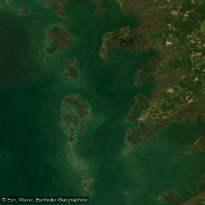
Tangier Sound

Potomac River

Patuxent River
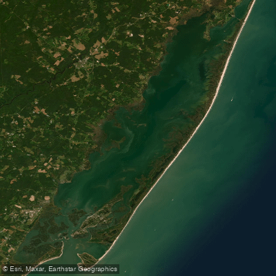
Chincoteague Bay
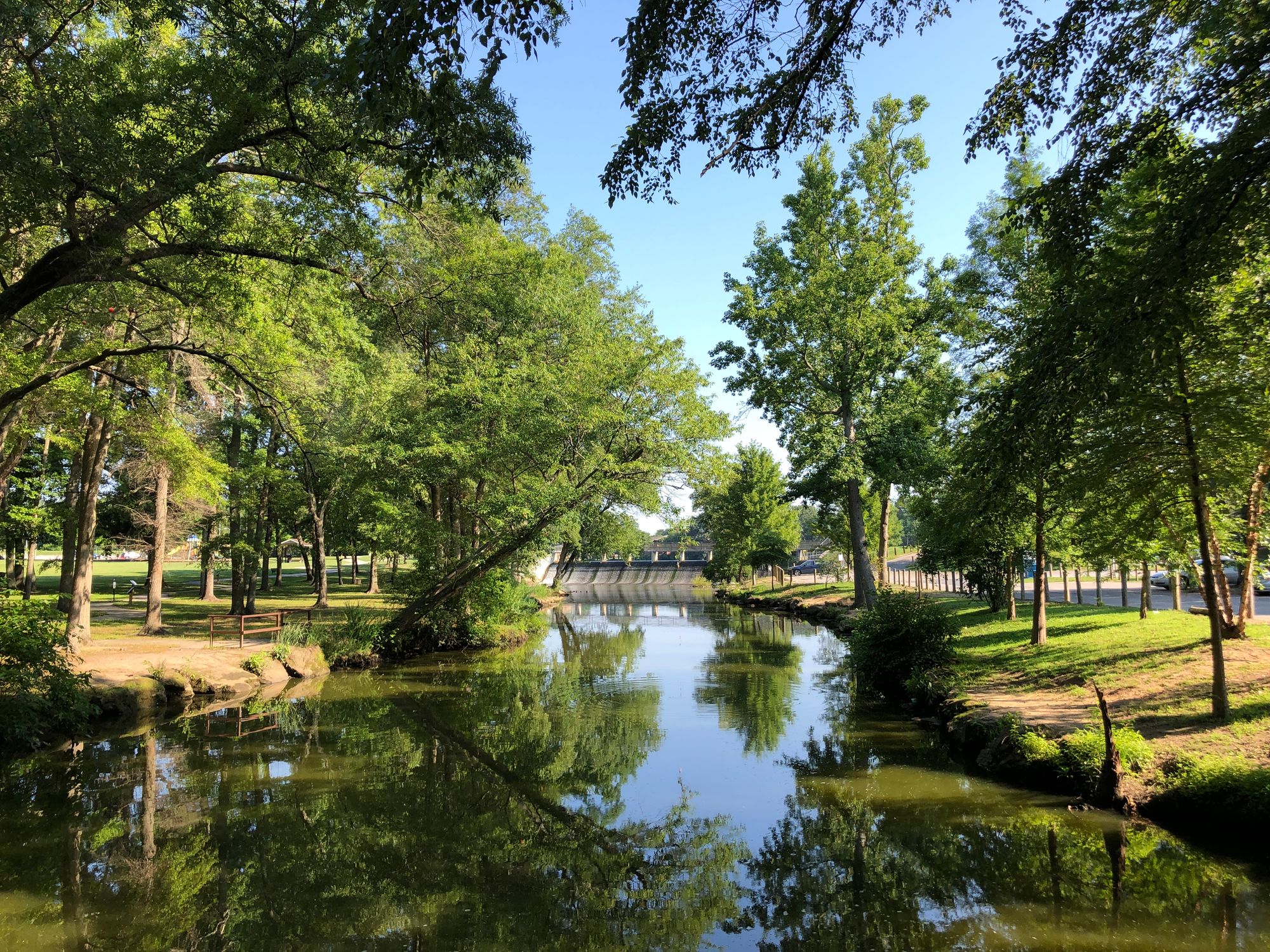
Saint Jones River
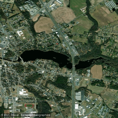
Records Pond
Trap Pond
Explore Maryland waters
Top paddling waters
Popular Cities
Loading popular cities...
Explore near Fishing Bay
Access points
- Point Lookout State Park Boat Ramp
- Point Lookout State Park Pet Beach Boat Ramp
- Herrington Manor State Park Boat Ramp
- Elliott Creek Bridge
- Goose Creek Bridge
- Pokata Creek Bridge
- Farm Creek Bridge
- Blackwater River Bridge
- Transquaking River Bridge
- Windmill Island Creek Bridge
- Windsor Creek Bridge
- Elliotts Island Parking
- All 23 spots
Nearby waters
More in Maryland

Smarter Paddling Starts in the App.
Paddleways gives you everything you need to plan smarter, paddle better, and own every trip from first launch to takeout.