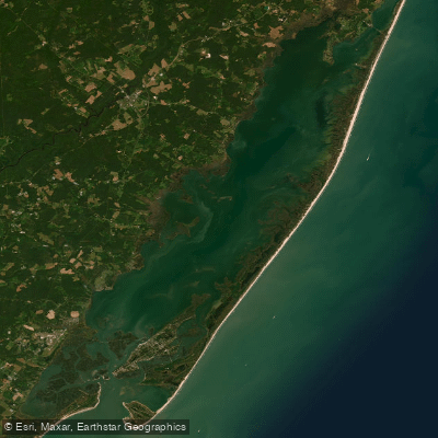
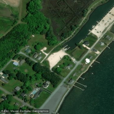
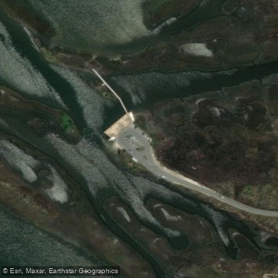
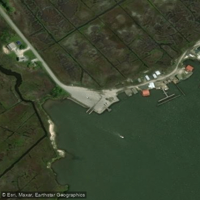
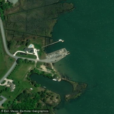
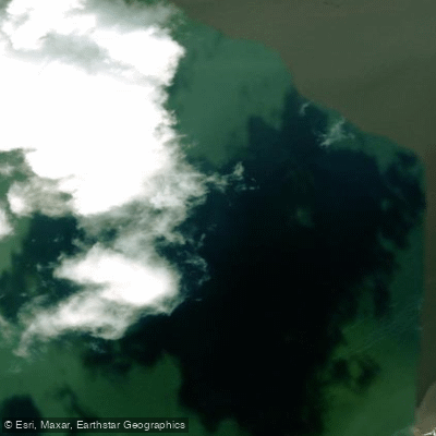
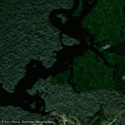
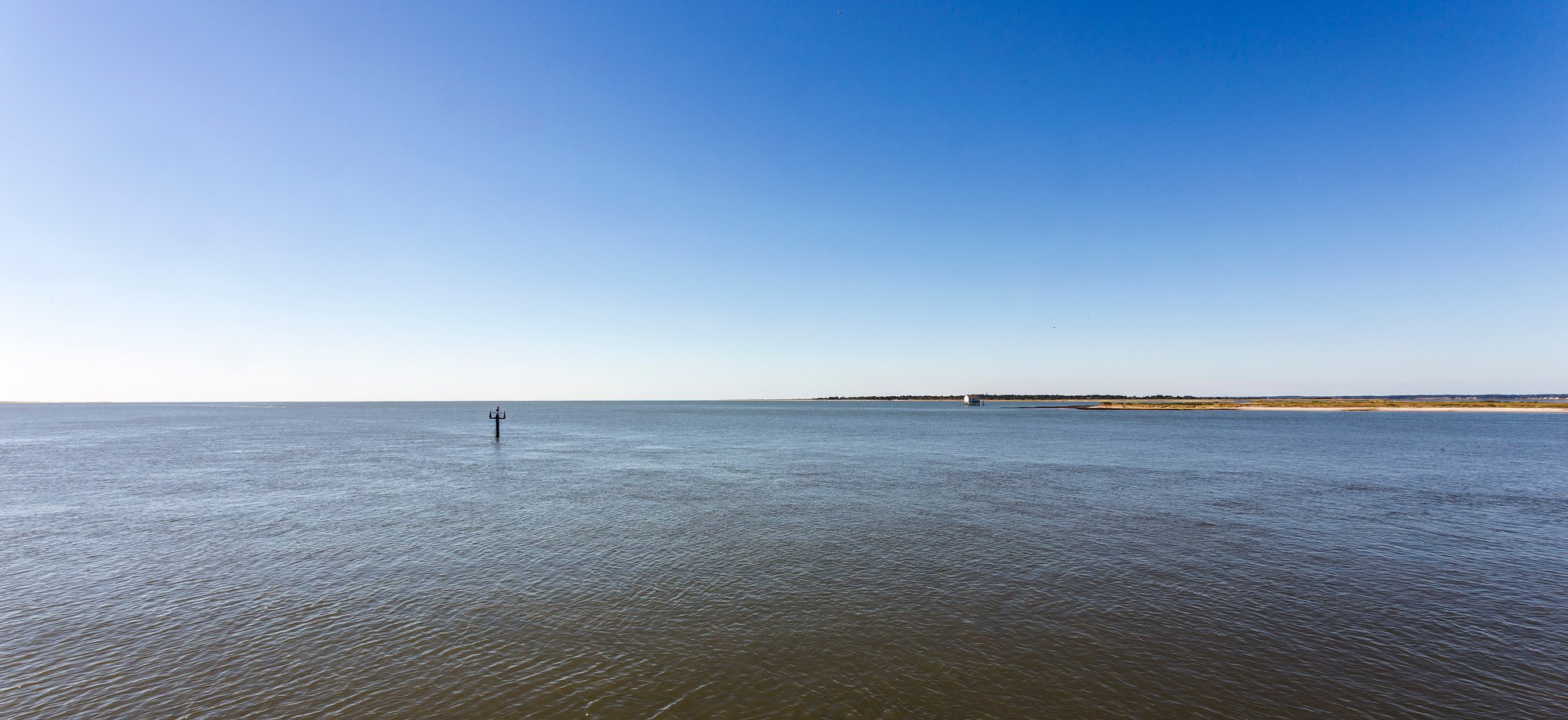
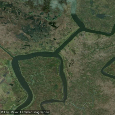
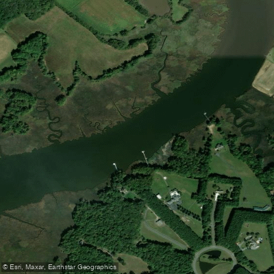
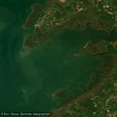
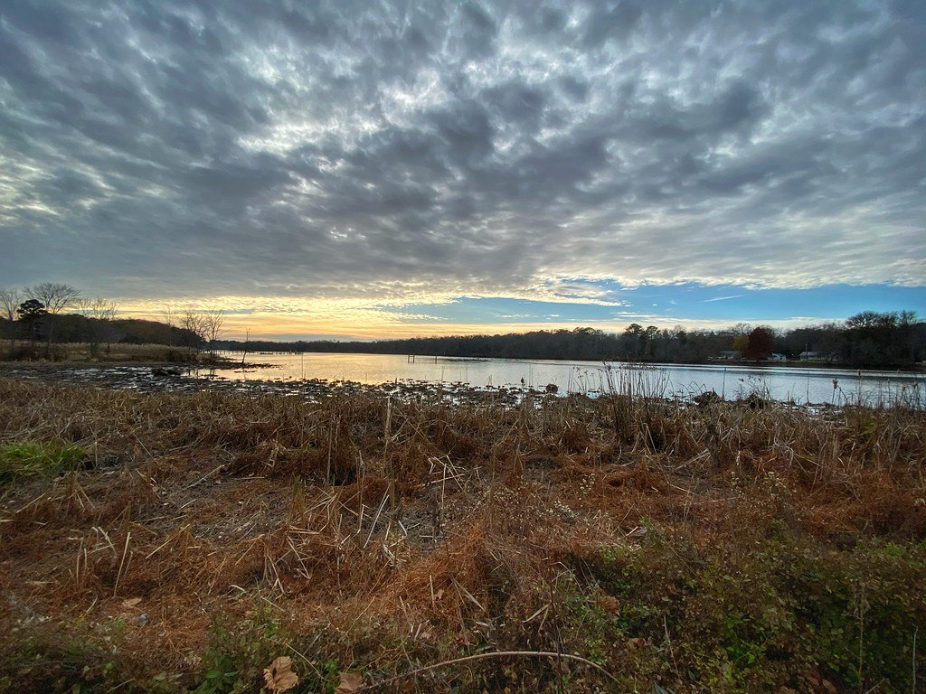
Chincoteague Bay is a large, shallow coastal bay on the Delmarva Peninsula, characterized by salt marshes, small sandy beaches, and a network of creeks and guts. The tidal range is less than two feet, and the bay is generally protected, with shallow water depths of three to six feet that keep wave action minimal even in wind. Tidal currents are present but described as moderate and manageable, with local outfitters noting that self-guided tour routes can be planned around the tide stage. Primary paddling access points include several public launches. On the Virginia side, Donald J. Leonard Park in the town of Chincoteague offers direct kayak access to the bay with parking and picnic facilities. George Island Landing is another specific meeting location for guided trips on the lower bay. In Maryland, Taylor Landing near Girdletree provides a free, 24-hour public boat ramp with parking and restrooms, suitable for beginners. Chincoteague Island Outfitters also offers a private kayak and SUP dock for rentals. The bay is open to wind, so conditions are weather-dependent, and routes may be adjusted accordingly. Motorized boat traffic is present, as the area is noted as a boater's haven with multiple launch points, so paddlers should be mindful, especially near channels. The E. A. Vaughn Kayak and Canoe Trail offers defined routes ranging from three to six miles for exploration. The scenery is dominated by expansive tidal wetlands with spartina grasses, and in late summer and early fall, the marsh displays colors from red salicornia to violet sea lavender. Wildlife viewing is a significant draw, with opportunities to see resident and migrating shorebirds, gulls, terns, raptors, waterfowl, osprey, and herons. The area provides a sense of remoteness, away from nearby resort towns. A Town of Chincoteague boat ramp/launch permit is required for any use of the municipal launch facilities. The best seasons for paddling are typically spring, summer, and fall.