Curated by PaddleWays
RouteFlatwater
- Distance
- 2.9 mi
- Paddle time
- ~1 hr
- Put-in → take-out
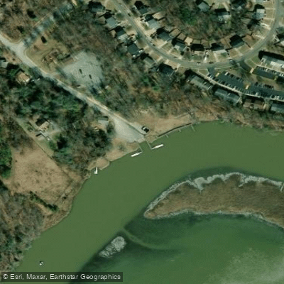
- Mattingly Park Boat Ramp → Sweden Point Marina Boat Ramp
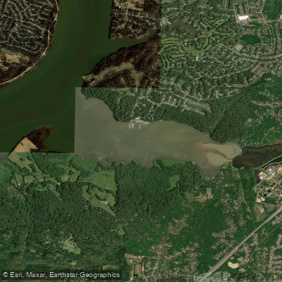
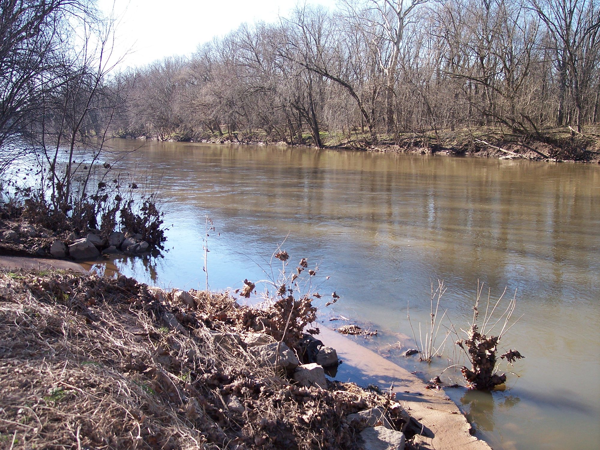
Mattawoman Creek is a pristine tidal freshwater tributary of the Potomac River, located in Charles County, Maryland. The creek originates near Waldorf and flows approximately 30 miles southwest before emptying into the Potomac River near Indian Head. As one of the most ecologically intact watersheds in the Chesapeake Bay region, Mattawoman Creek is renowned for its rich biodiversity and water quality.
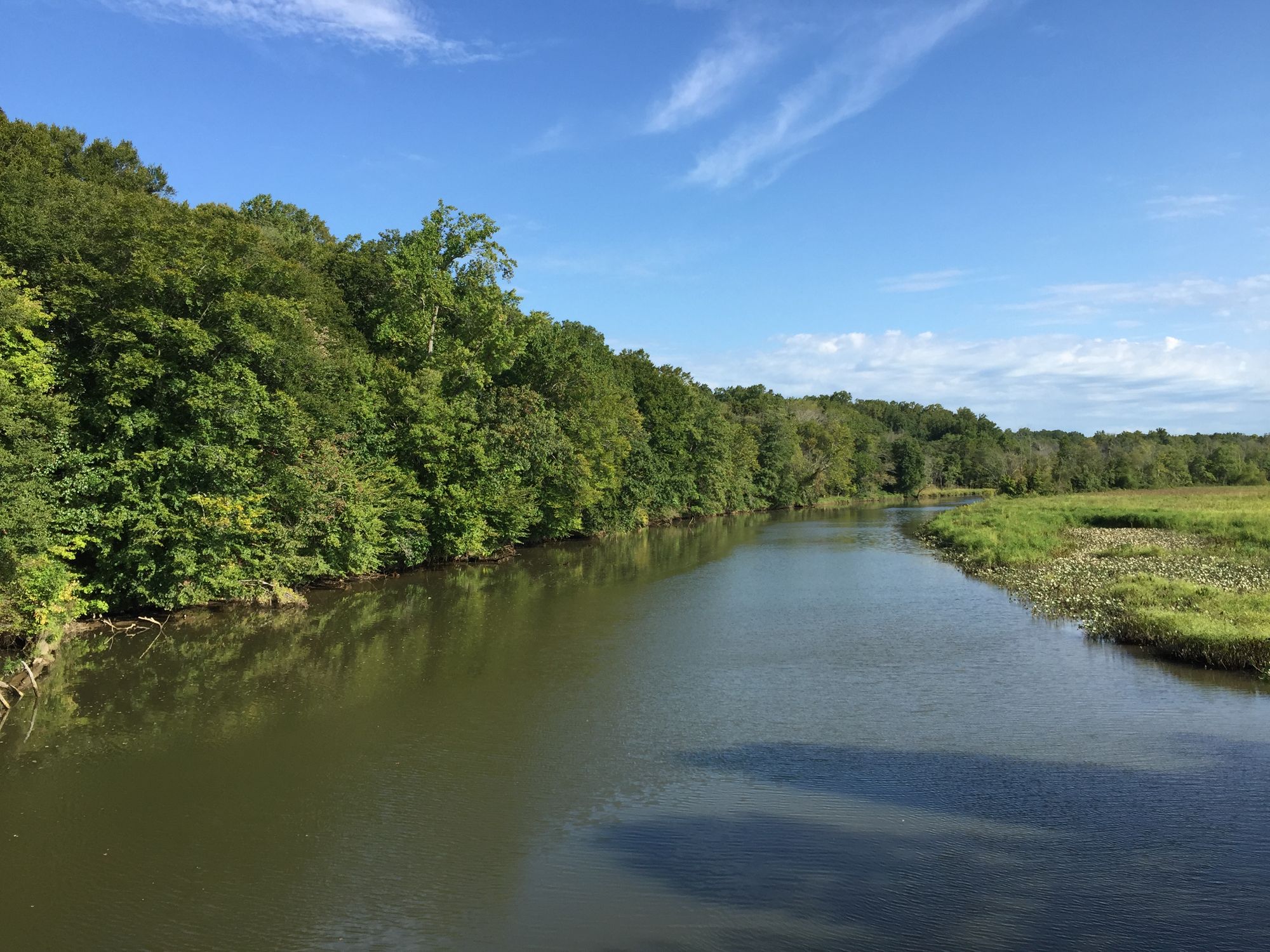
The creek offers excellent flatwater paddling opportunities suitable for beginners and experienced kayakers alike. The full paddling trail stretches about 10 miles from Mattingly Park in Indian Head to the creek's confluence with the Potomac River. The upper section meanders through narrow, protected waters with a serene forest canopy, while the lower section widens as it approaches the Potomac. Paddlers can expect a peaceful journey through a landscape largely untouched by development.
The creek's ecological significance is evident in its diverse aquatic vegetation and abundant fish populations, making it a prime spot for both nature observation and fishing. Notable species include yellow perch, herring, shad, and various migratory birds.
Access to Mattawoman Creek is primarily through Mattingly Park in Indian Head, where Up The Creek Rentals provides kayaks, canoes, and paddleboards. This launch point serves as an ideal starting location for both upstream and downstream explorations.
The creek's consistent flatwater conditions make it accessible year-round, though spring and fall offer the most comfortable temperatures and vibrant scenery.
Mattawoman Creek is part of the larger Mattawoman Creek Natural Area, encompassing over 1,300 acres of protected land. This designation underscores its importance as a model for a restored Chesapeake Bay ecosystem. The surrounding mature forests provide critical habitat for Forest Interior Dwelling Species, adding to the creek's ecological value.
For those seeking a multi-day adventure, camping options are limited, but the creek's proximity to the Potomac River allows for extended trips combining both waterways. Paddlers should be aware of tidal influences, particularly in the lower sections, and always check weather conditions before setting out.
The creek's historical significance dates back to Native American settlements and early colonial times. Today, it stands as a testament to conservation efforts, offering a glimpse into the Chesapeake Bay's past and potential future. As you paddle Mattawoman Creek, you're not just exploring a waterway, but experiencing a vital piece of Maryland's natural heritage.
Curated routes
Hand-picked by the PaddleWays team, with put-ins, take-outs, paddle times and the hazards along the way.
RouteFlatwater
Hazards
No hazards are marked on Mattawoman Creek yet. That is not the same as none being there: if you find one, report it for the next paddler.
From the community
Nobody has shared a trip on Mattawoman Creek yet. Paddle it, then tell the next paddler how it went.
See exactly where the public can get on and off the river. Launch points and boat ramps are paired with PaddleWays' public land data so you know where you can legally land.
Public shoreline
4%of the river's shoreline is public
Most of the riverbank is private. Launch, land and camp only at public access points.
Flows, weather and a route-by-route verdict, so you know which stretch of the Mattawoman Creek is worth paddling today.
Live flows, marked hazards and fresh trip reports from paddlers who were just on the water, all in one place.





Every user gets free access to launch points, boat ramps, and public property parcels.


Loading popular cities...
PaddleWays gives you everything you need to plan smarter, paddle better, and own every trip from first launch to takeout.