Jeremy R.
SUP •
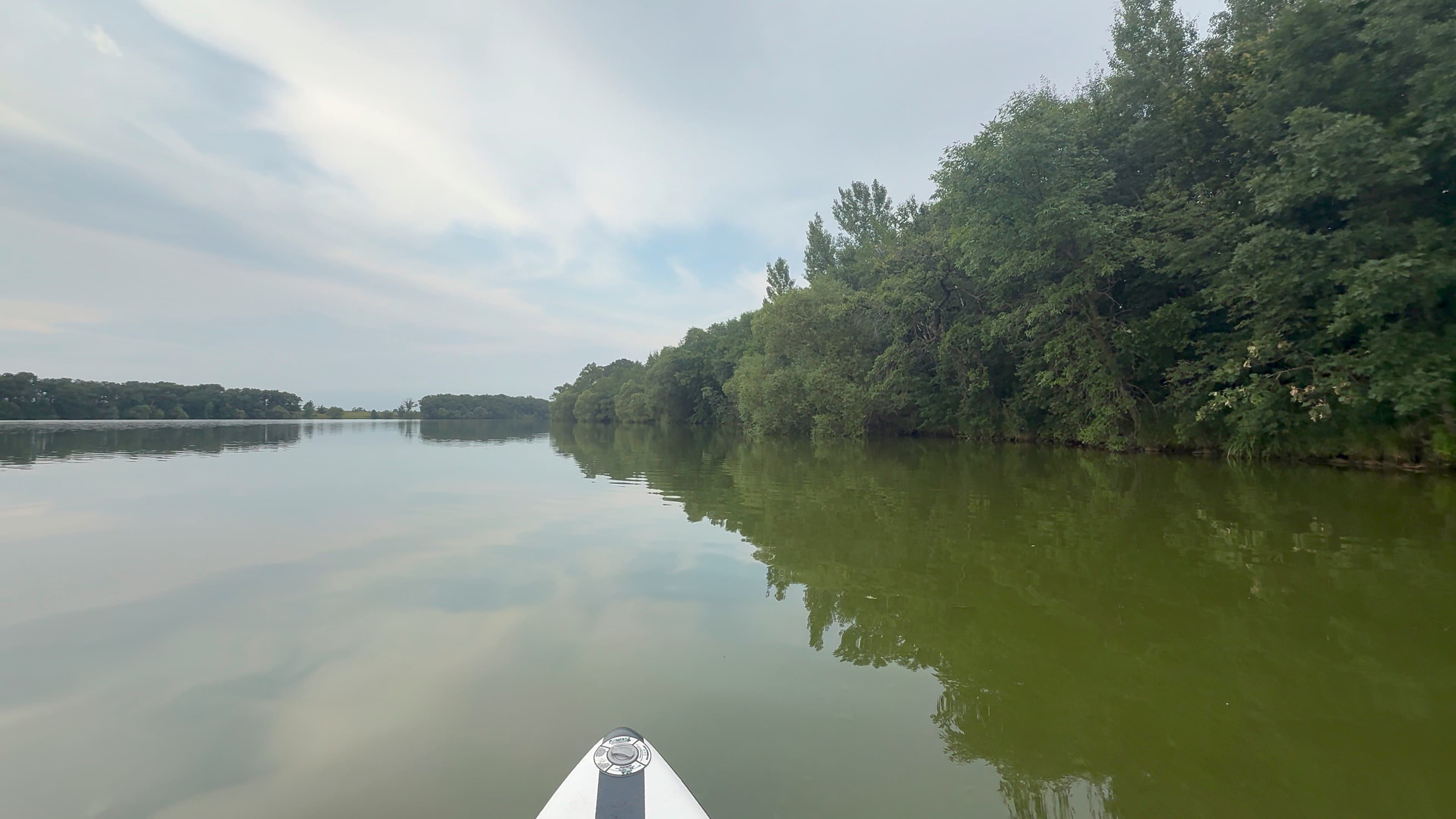
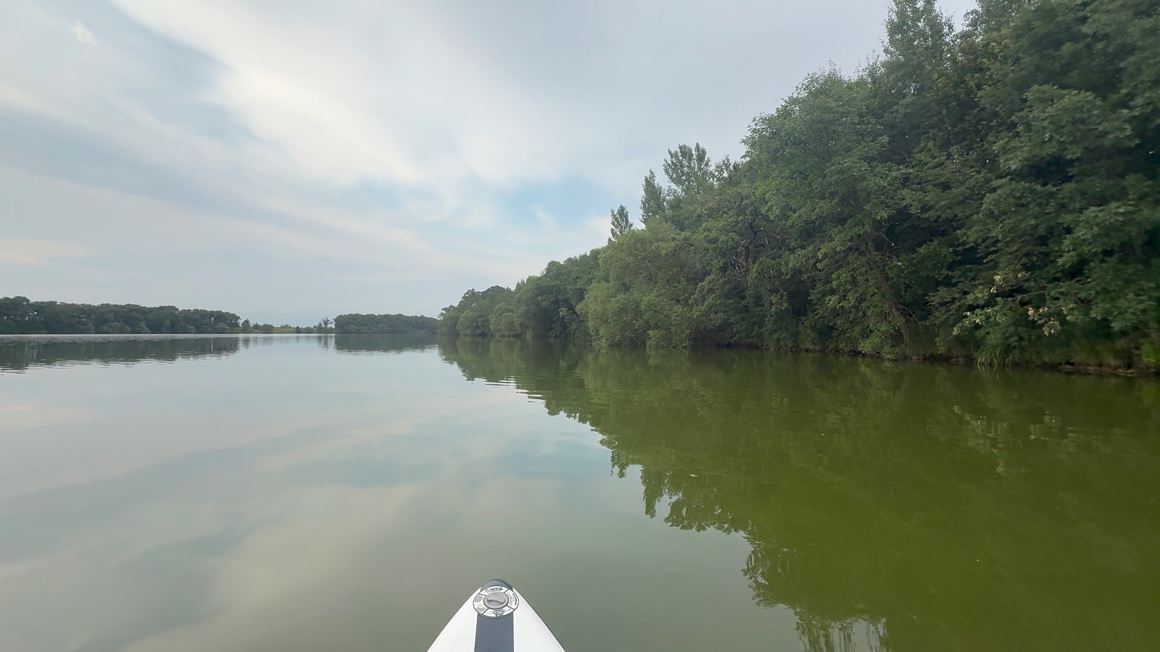
Very green. Very calm. No one on the lake. A couple of shore fisherman. At least 6 Great Blue Herons, and one Bald Eagle
Curated by PaddleWays
1.8 mi lake route on Mayhew Lake in Minnesota
Conditions right now
Route facts
About this route
This 1.8-mile lake route on Mayhew Lake in Benton County, Minnesota, starts and ends at the Mayhew Lake Public Water Access Site, a trailer launch ramp that provides access to the lake.
Put-in & take-out
Put-in & take-out
Hazards
No paddler has reported a hazard here yet, so these are the dams, falls and big rapids on our map. Hazards change with flows and storms, so check them before you launch.
From the community
Real trips from PaddleWays paddlers who ran this route: how the water was, and what to watch for.
Loading trip reports
Jeremy R.
SUP •
Very green. Very calm. No one on the lake. A couple of shore fisherman. At least 6 Great Blue Herons, and one Bald Eagle
The gauges near Mayhew Lake and the forecast where it starts, so you can pick your day.
No forecast data available.
Close by
Curated routes on other waters within an hour or so, nearest first.
on Sauk River · 9 mi away
RouteClass I–II
on Sauk River · 16 mi away
RouteFlatwater
on Sauk River · 26 mi away
RouteFlatwater
on Sauk River · 29 mi away
RouteFlatwater
on Sauk River · 35 mi away
RouteFlatwater
on North Fork Crow River · 37 mi away
RouteFlatwater
PaddleWays gives you everything you need to plan smarter, paddle better, and own every trip from first launch to takeout.
