Curated by PaddleWays
RouteFlatwater
- Distance
- 1.8 mi
- Paddle time
- ~0.5 hrs
- Put-in & take-out
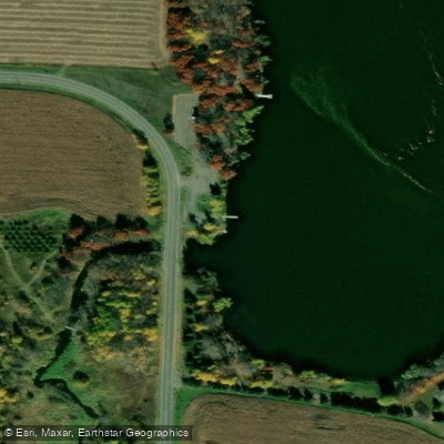
- Mayhew Lake Public Water Access Site
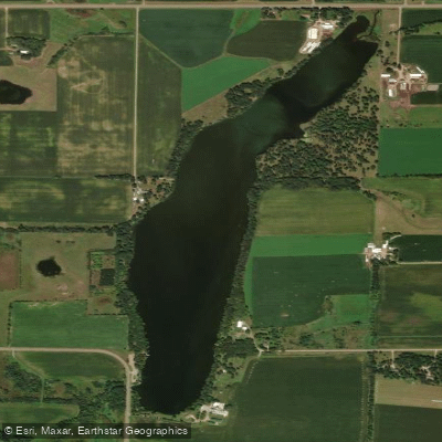
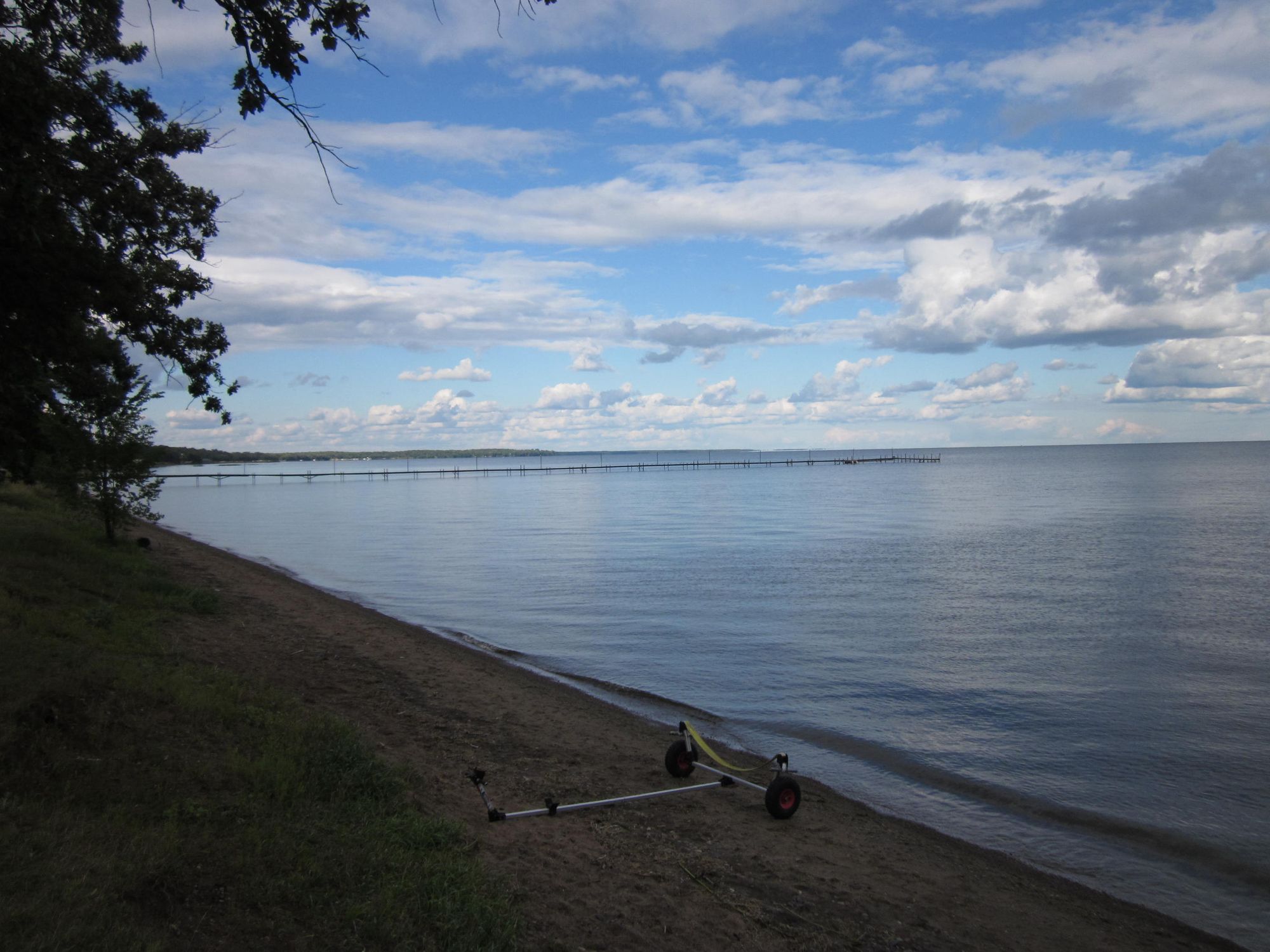
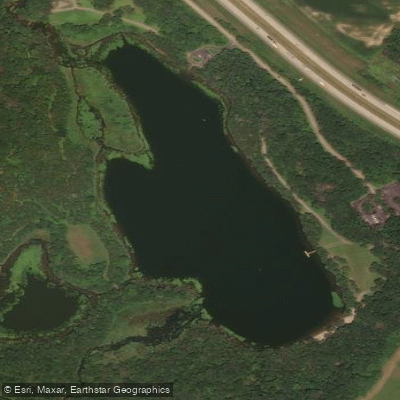
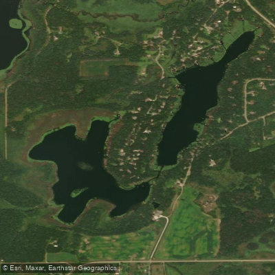
Mayhew Lake is a 130-acre narrow basin located in Benton County, Minnesota, in the upper northwest corner of the Elk River watershed. With an average depth of 13 feet and maximum depth of 20 feet, the lake offers a relatively shallow paddling experience suited for canoes and kayaks.
**Access and Character** The lake features one county-owned gravel public access on the southwest corner, convenient for launching smaller watercraft. A recently improved county park on the west side includes a fishing pier and picnic area, providing amenities for paddlers looking to combine water activities with shoreside relaxation. The park is well-maintained and encourages shore-based recreation. Mayhew Creek flows into the northeast end of the lake and serves as the outlet at the southwest end, with a concrete fixed crest weir dam at the outlet elevation installed in 1951. Two additional unnamed tributaries enter from the east end, contributing to the lake's flow-through character.
**Paddling Conditions** The lake's elongated, narrow shape (with a relatively short residence time given its 142:1 watershed-to-lake ratio) creates a channelized paddling environment. The littoral zone covers approximately 49 percent (64 acres) of the basin. Water clarity varies seasonally, with historical measurements ranging from 0.64 to 3.25 meters, though recent years have shown declining clarity with higher nutrient levels.
**Wildlife and Habitat** While the lake lacks extensive submerged plant growth—limited primarily to three feet depth due to water clarity issues—paddlers may observe waterfowl and common carp populations. Livestock access in some pastured areas has altered portions of the shoreline, removing emergent vegetation in places. The lake supports black crappie, walleye, northern pike, and perch populations, making it popular with anglers as well as paddlers seeking a quiet rural lake experience.
Curated routes
Hand-picked by the PaddleWays team, with put-ins, take-outs, paddle times and the hazards along the way.
RouteFlatwater
Hazards
No paddler has reported a hazard here yet, so these are the dams, falls and big rapids on our map. Hazards change with flows and storms, so check them before you launch.
From the community
Real trips from PaddleWays paddlers: which route they ran, how the water was, and what to watch for.
Loading trip reports
Jeremy R.
SUP •
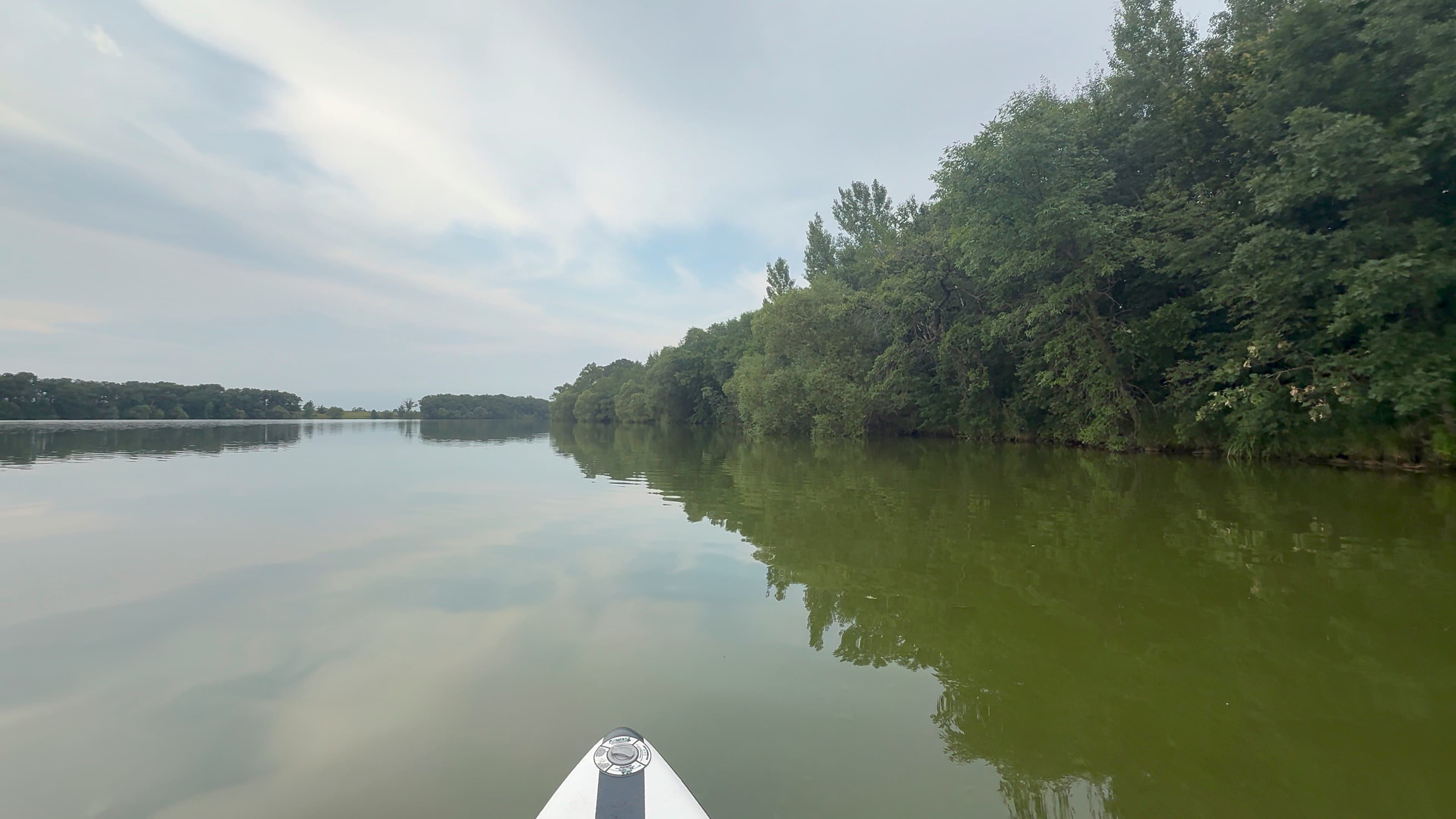
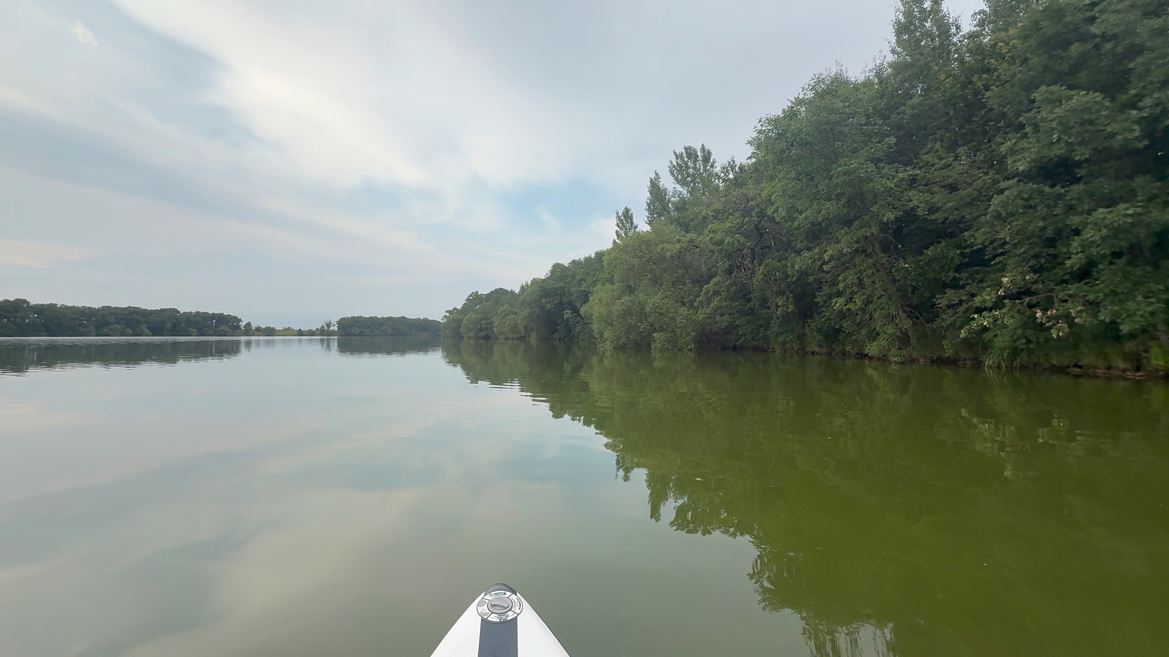
Very green. Very calm. No one on the lake. A couple of shore fisherman. At least 6 Great Blue Herons, and one Bald Eagle
See exactly where the public can get on and off the water. Launch points and boat ramps are paired with PaddleWays' public land data so you know where you can legally land.
Public shoreline
0%of the lake's shoreline is public
Most of the shoreline is private. Launch, land and camp only at public access points.
Weather, wind and a verdict for each route, so you know if Mayhew Lake is worth paddling today.
No forecast data available.
Live flows, marked hazards and fresh trip reports from paddlers who were just on the water, all in one place.





Every user gets free access to launch points, boat ramps, and public property parcels.

Loading popular cities...
PaddleWays gives you everything you need to plan smarter, paddle better, and own every trip from first launch to takeout.