Sauk River
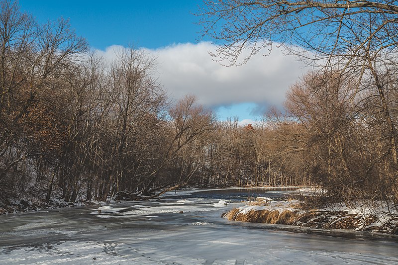
Sauk River
- Boat Ramps
- 7
- Access Points
- 20
- Campsites
- 5
The Sauk River is a scenic 126-mile waterway in central Minnesota, originating at Lake Osakis in Todd County and flowing southeast to join the Mississippi River near St. Cloud. This shallow river meanders through a diverse landscape of farmland, residential areas, restored prairie grasslands, wetlands, and hardwood forests.
Paddling opportunities abound on the Sauk River, with several popular sections catering to various skill levels. The river is primarily flatwater with occasional gentle rapids, making it suitable for canoes and kayaks. Most sections are rated as Class I, with a short Class I-II stretch near the confluence with the Mississippi. Novice paddlers can enjoy easy day trips, while more experienced kayakers may tackle longer multi-day adventures.
The best paddling season typically runs from late spring through early fall, with water levels generally most favorable in May and June. Summer paddling is pleasant, though some shallow areas may require portaging during drier periods.
Wildlife enthusiasts will appreciate the river's rich ecosystem. The Sauk River Wildlife Management Area, which borders over five miles of the waterway, provides excellent opportunities for bird watching and spotting animals like deer, otters, and beavers. The river corridor also supports a variety of plant life, from prairie grasses to thick stands of maple, oak, and cottonwood trees.
Notable landmarks along the Sauk include the historic towns of Sauk Centre and Cold Spring, as well as numerous county parks and access points. The Lake Wobegon Trail, a 65-mile paved path, intersects the river at several locations, offering interesting possibilities for bike-and-paddle combination trips. Key access points include Lake Osakis (the headwaters), Sauk Centre Dam, Spring Hill County Park, Cold Spring, Rockville's Eagle Park, and various locations in the St. Cloud area. These access points are well-distributed, allowing paddlers to plan trips of varying lengths.
Historically, the Sauk River played a crucial role in the region's development, powering mills and supporting agriculture. Today, it remains an important recreational resource and a vital part of central Minnesota's watershed.
Safety considerations include checking water levels before paddling, as the river can become quite shallow in places. Paddlers should also be aware of occasional logjams and strainers, particularly after high water events. All watercraft must be registered, and life jackets are required by law.
For those seeking a multi-day adventure, the entire 126-mile length can be paddled in about a week, with numerous camping options along the way. However, most paddlers opt for shorter day trips or weekend excursions, exploring the river's gentle beauty one section at a time.
Water access, boat ramps & amenities
Learn how to get on Sauk River. Uncover great paddling access points, boat ramps, and all the facilities you need for an unforgettable day on the water. Some locations shown may border or include private property. Always check property boundaries and applicable regulations before visiting. PaddleWays's Public & Private Land layer can help you plan your access with confidence.
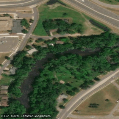
Sauk River, Knights of Columbus Public Water Access Site
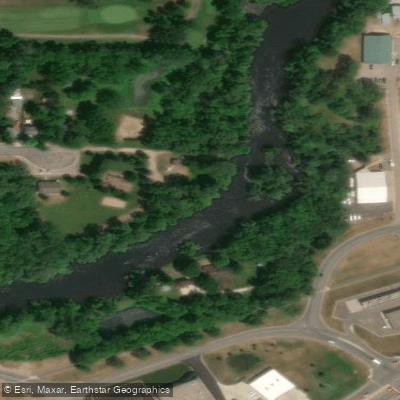
Sauk River, Frog Town Park Public Water Access Site
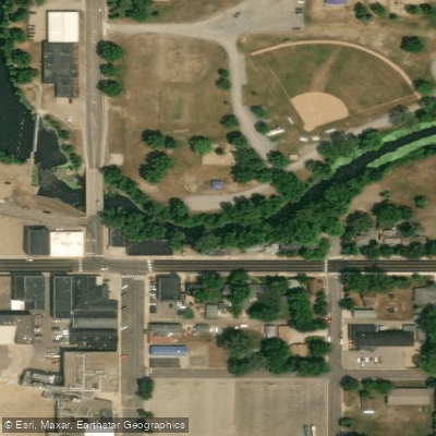
Sauk River, Melrose Public Water Access Site
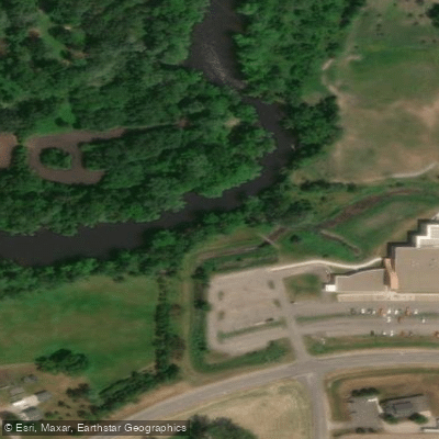
Sauk River, Miller Landing Public Water Access Site
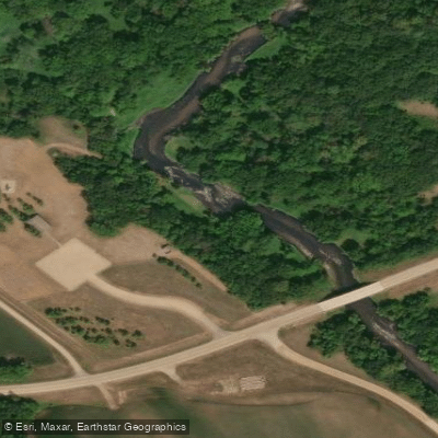
Sauk River, Spring Hill Public Water Access Site
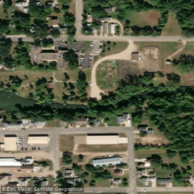
Sauk River, Sauk Centre Dam Public Water Access Site
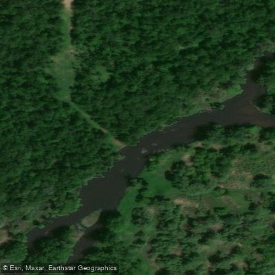
Sauk River Rockville County Park Public Water Access Site
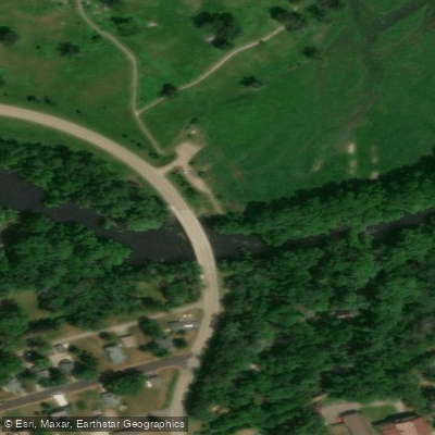
Sauk River, Eagle Park Public Water Access Site
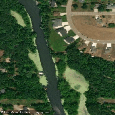
Sauk River, Richmond Public Water Access Site
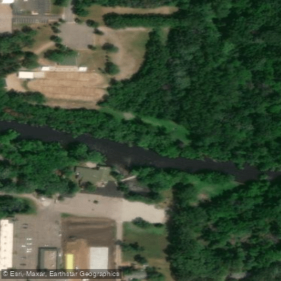
Sauk River, Pineview Park Public Water Access Site
Paddle smarter with real-time insights
Whether you're en route and conditions shift or you're looking for the best spot based on current flows, we enable you to make informed decisions on the fly.








Find Places to Paddle

Over 400,000 Places to Paddle
Every user gets free access to launch points, boat ramps, and public property parcels.


Water and weather conditions (10 day forecast)
See the best times to paddle Sauk River and check the forecast before you go.
SAUK RIVER NEAR ST. CLOUD, MN
Paddling near Sauk River

Mississippi River
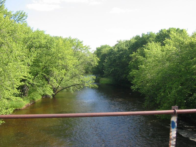
Rum River
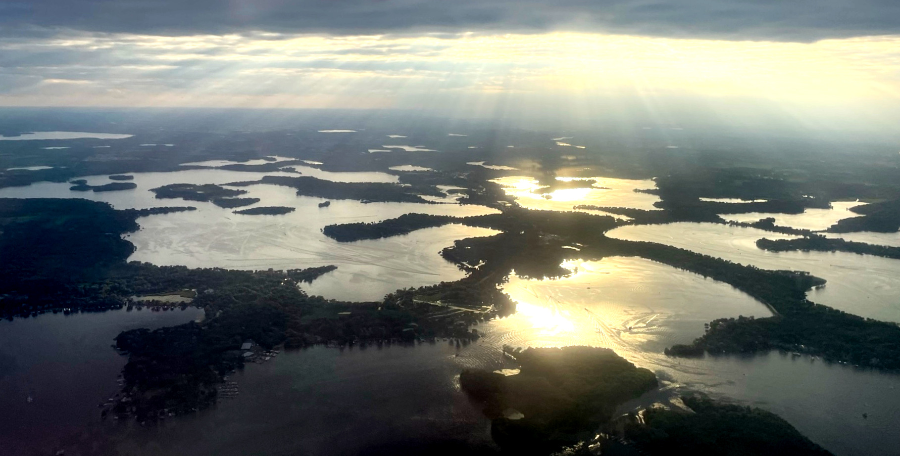
Lake Minnetonka
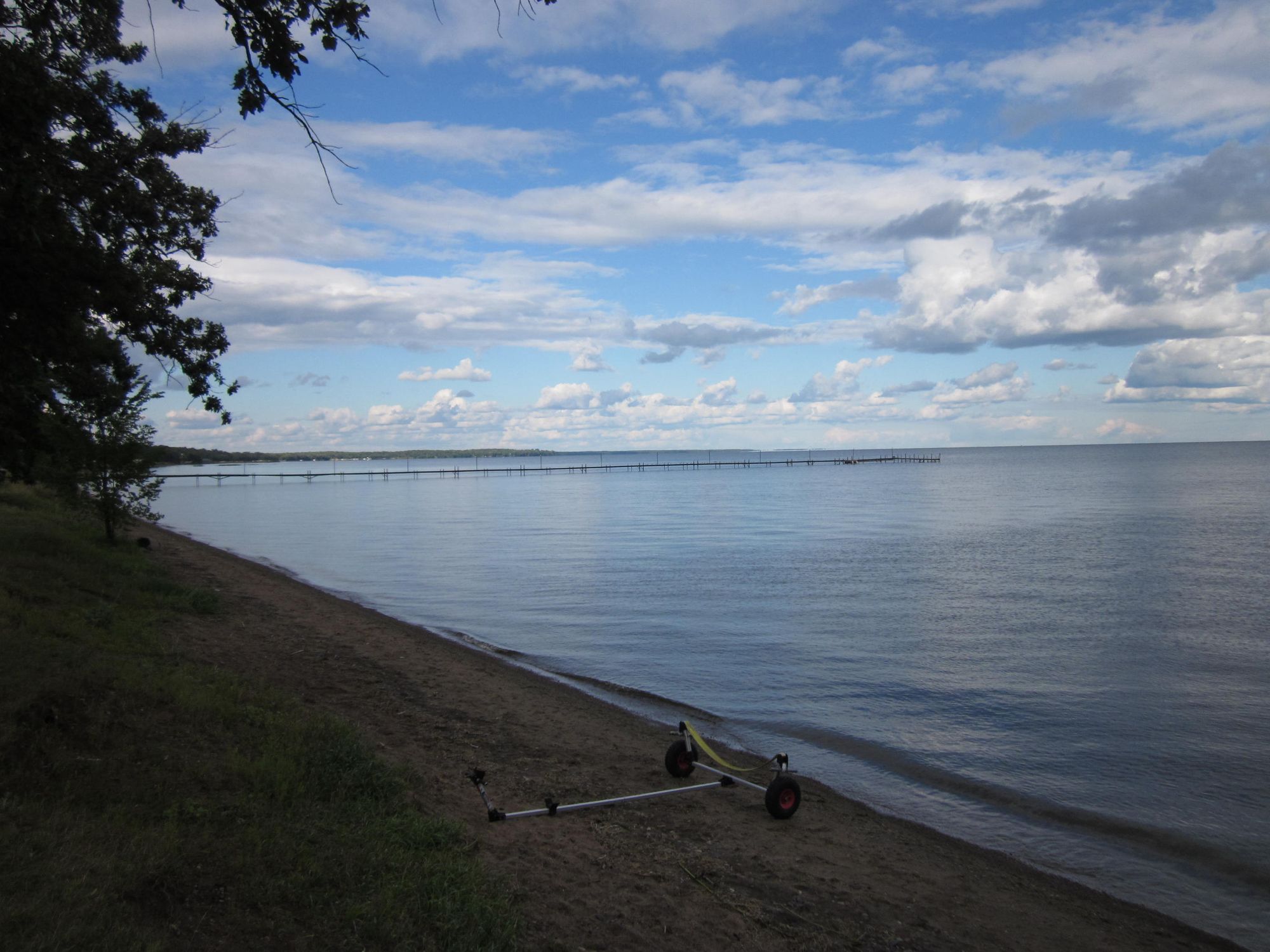
Mille Lacs Lake
Long Lake
Julia Lake
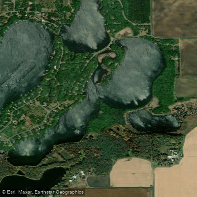
Pickerel Lake
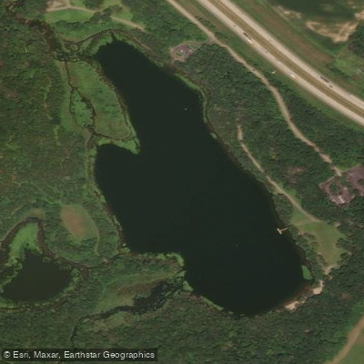
Warner Lake
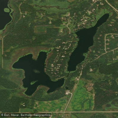
Long Lake
Explore Minnesota waters
Top paddling waters
Popular Cities
Loading popular cities...
Explore near Sauk River
Access points
- Horseshoe Lake Public Water Access Site
- Sauk River, Lions Park Public Water Access Site
- Sauk River, Mill Pond Public Water Access Site
- Heims Mill Boat Ramp
- Guernsey Lake Public Water Access Site
- Little Sauk Lake Public Water Access Site
- Sauk Lake, Hwy 71 Public Water Access Site
- Sauk River, Knights of Columbus Public Water Access Site
- Sauk River, Frog Town Park Public Water Access Site
- Sauk River, Melrose Public Water Access Site
- Sauk River, Miller Landing Public Water Access Site
- Sauk River, Spring Hill Public Water Access Site
- All 91 spots
Nearby waters
More in Minnesota

Smarter Paddling Starts in the App.
Paddleways gives you everything you need to plan smarter, paddle better, and own every trip from first launch to takeout.