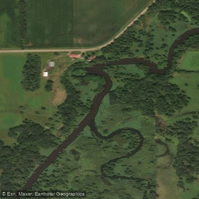
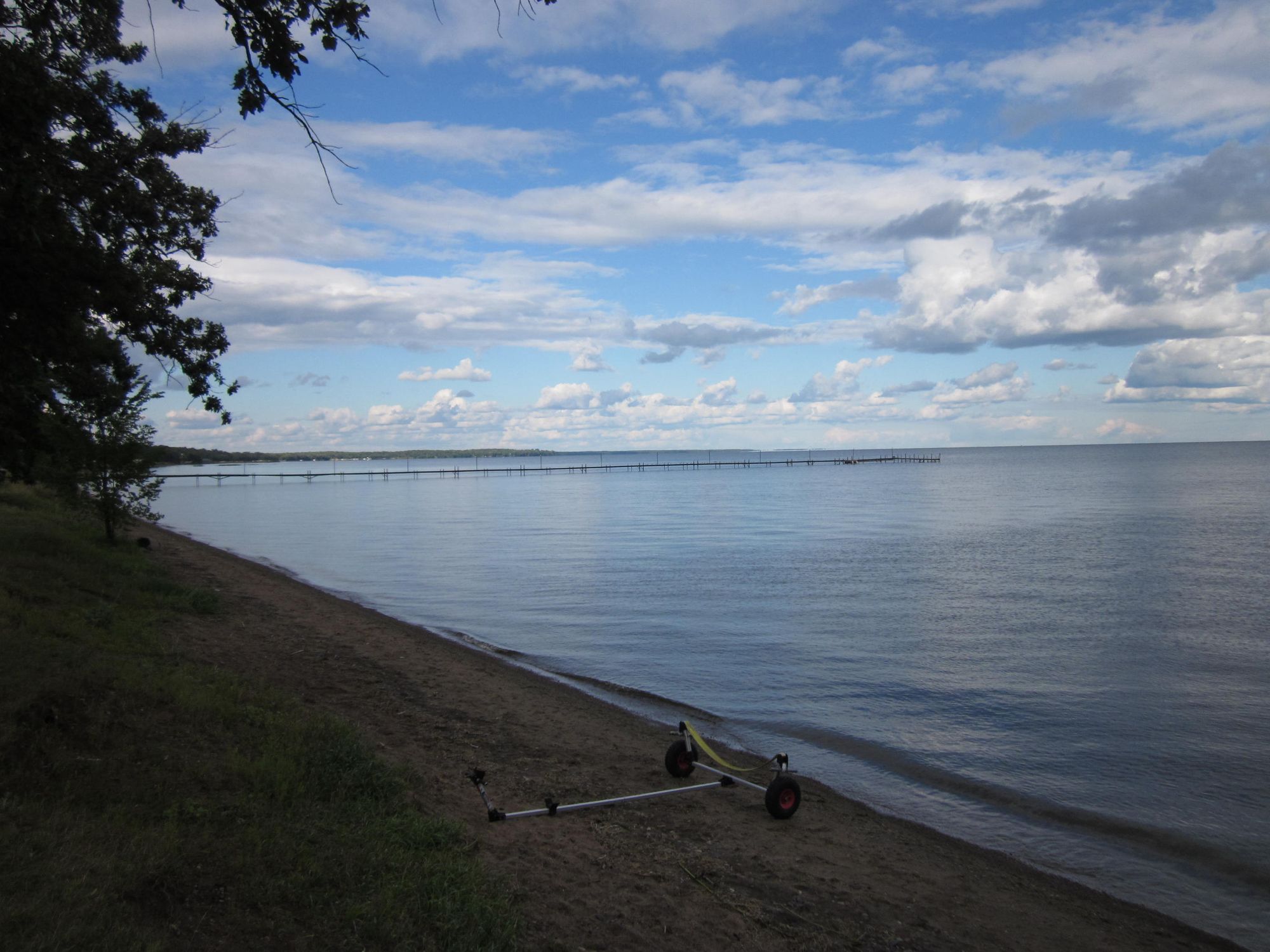
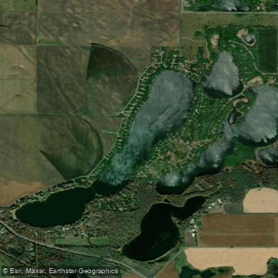
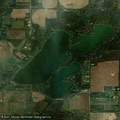
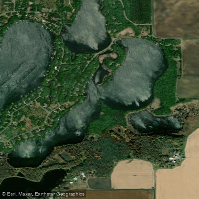
The North Fork Crow River is a scenic waterway in central Minnesota that offers diverse paddling opportunities. Originating at Lake Koronis near Paynesville, the river flows southeast for approximately 125 miles before joining the South Fork Crow River at Rockford to form the main stem Crow River. The North Fork continues another 25 miles before emptying into the Mississippi River near Dayton. This State Water Trail provides paddlers with a mix of rural and urban landscapes. The upper reaches meander through agricultural areas and woodlands, while the lower sections pass through more developed regions.
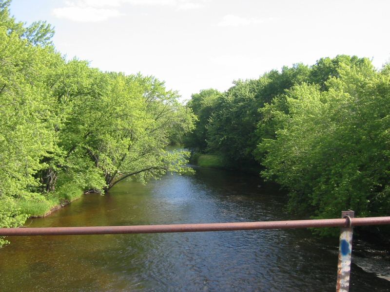
The river is generally smooth-flowing, with occasional Class I rapids near Forest City providing mild challenges for novice paddlers. Popular paddling sections include the 12-mile stretch from Forest City to Kingston and the final 16-mile segment from Hanover to the Mississippi confluence. The river's difficulty ranges from flatwater to Class I, making it suitable for beginners to intermediate paddlers. Spring typically offers the best water levels, though summer paddling is possible in most years.
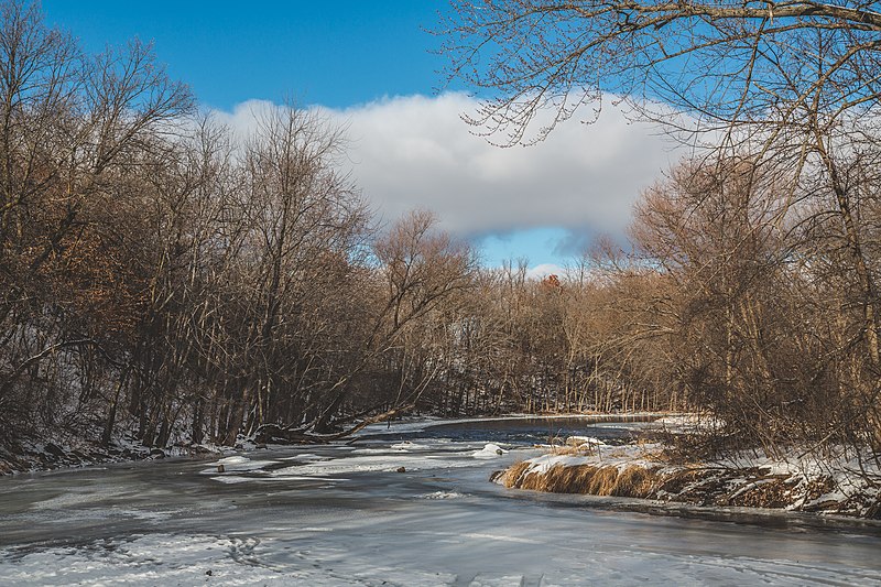
Wildlife enthusiasts can spot a variety of birds, including herons and eagles, while paddling through the river's corridor. The shoreline features a mix of hardwood forests, wetlands, and prairie remnants. Key landmarks include the historic mill sites at Forest City and Hanover, as well as Crow-Hassan Park Reserve near the river's end.
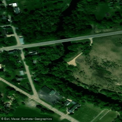
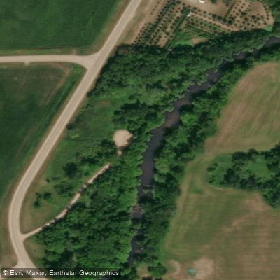
Major access points include Koronis Lake (near Paynesville), Forest City, Kingston, Rockford, and Hanover. The river passes near several small towns, with larger cities like St. Cloud and the Twin Cities metro area within driving distance.
The North Fork Crow River played a significant role in the region's early settlement and development, powering mills and providing transportation. Today, it serves as an important recreational resource and wildlife corridor. Paddlers should be aware of potential logjams, especially in the upper reaches, and should check current conditions before trips.
Multi-day excursions are possible, with primitive campsites available at locations like Wildlife County Park and Riverside County Park. Reservations are required for some campsites. The Crow River State Water Trail, established in 1967, showcases the natural beauty and historical significance of this Minnesota waterway, offering paddlers a chance to explore a diverse riverine environment close to major population centers.