Paddling in Minnesota
- Lakes
- 8,710
- Rivers
- 2,690
- Access
- 1,019
- Boat Ramps
- 2,467
- Shops
- 9
Minnesota is a canoe state before it's anything else — a place where the tripping canoe is the default boat, the BWCA is the default trip, and a surprising number of people you meet have a story about their first one.
The Boundary Waters Canoe Area Wilderness anchors the identity: more than a thousand lakes stitched together by portage trails along the Canadian border, governed by a quota permit system that opens on the last Wednesday of January and runs through the summer.
Ely is the gateway, and the outfitter culture there — Piragis, River Point, Way To Go and others — is a working ecosystem of permit issuance, route planning, and full outfitting.
The ethos is low-impact, self-sufficient, and old: groups capped at nine, four watercraft, leave no trace, paddle quiet water for days.
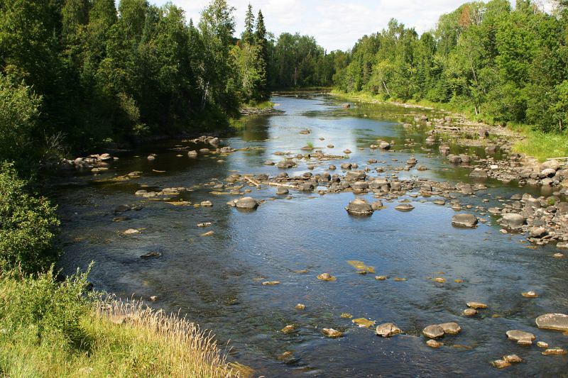
Underneath that wilderness layer, the DNR's State Water Trails system carries the flatwater scene across the rest of the state — 35 designated trails, river-level reporting, free maps, marked campsites. The St.
Croix between Taylors Falls and William O'Brien State Park is the classic moving-water canoe corridor, bluff-walled and outfitter-served.
The Twin Cities have their own lake culture on Bde Maka Ska, Lake of the Isles, and Cedar, plus a serious competitive thread: the Minnesota Canoe Association runs Monday Night Rookies fitness paddles through the season, the Rum River Race in May, and the Stock State Championships on the Upper Mississippi in June.
Then there's the other Minnesota — the rain-chasing whitewater scene tucked into the Duluth–Twin Cities corridor, smaller but genuinely scrappy. The St.
Louis River near Carlton is the state's most reliable whitewater, dam-controlled with target releases around 700 CFS; the Upper run delivers Class II/III culminating in Electric Ledge, while the Lower run through Jay Cooke State Park climbs into Class VI territory and is the only Minnesota river running commercial rafting.
The Kettle at Banning State Park is the free-flowing counterpart — Class II–III at fair levels, Class IV+ when it's up, with named drops like Blueberry Slide and Hell's Gate.
North Shore creeks like the Baptism go off briefly with snowmelt and big rains; paddlers watch gauges and move fast.
Rapids Riders, ACA-certified and volunteer-run since the early 1980s, holds the scene together with winter pool sessions and CanoeU instruction in May and early June. Lake Superior is its own discipline entirely.
The 150-mile state water trail from Duluth to the Pigeon River runs along basalt cliffs and sea caves at Tettegouche, with watercraft-access-only campsites and long stretches between landings. The DNR is unambiguous: sea kayaks with bulkheads, not canoes.
Water rarely breaks 50°F through June, the lake makes thirty-foot waves when it wants to, and the forecast matters every time you launch. It's one of the most serious big-water environments in the lower 48, and it doesn't care who knows it.
Paddle smarter with real-time insights
Whether you're en route and conditions shift or you're looking for the best spot based on current flows, we enable you to make informed decisions on the fly.







Minnesota licenses and regulations
Explore Minnesota waters
Top paddling waters
Popular Cities
Loading popular cities...

Smarter Paddling Starts in the App.
Paddleways gives you everything you need to plan smarter, paddle better, and own every trip from first launch to takeout.