Lake Pepin
Lake Pepin
- Boat Ramps
- 8
- Access Points
- 15
- Campsites
- 8
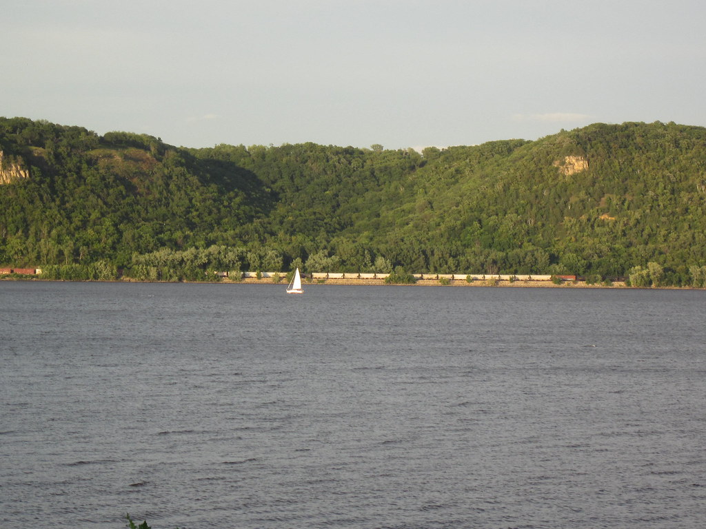
Lake Pepin is a naturally occurring widening of the Mississippi River, stretching approximately 21 miles between Red Wing, Minnesota and the Chippewa River delta near the Wisconsin villages of Stockholm and Pepin. At an average width of 1.7 miles and maximum depth of 60 feet, it ranks as Wisconsin's second-largest lake at 25,502 acres. The lake straddles Goodhue County in Minnesota and Pepin and Pierce Counties in Wisconsin.
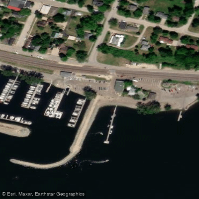
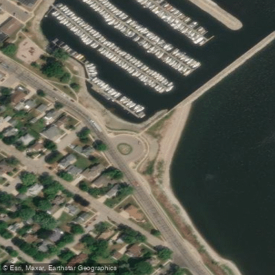
**Access and Launch Sites**: Multiple public boat launches provide access, including Stockholm Public Landing, Deer Island Boat Ramp, Pepin Sportsman's Landing, and the Pepin Marina (which also offers 180+ boat slips and transient docking). On the Minnesota side, launches are available near Lake City and throughout Wabasha County. Most facilities include parking and basic amenities.
**Paddling Character**: Lake Pepin's size creates conditions more akin to an inland lake than typical river paddling. The broad expanse can generate significant wind and waves, requiring attention to weather forecasts. Kayakers and canoeists should stay near shorelines when conditions are rough and possess basic lake paddling skills. The Great River Road (Highway 35) parallels the Wisconsin shore, offering scenic overlooks and potential access points.
**Scenery and Wildlife**: Towering 300-500 foot bluffs frame both shores, creating dramatic vistas. The lake sits along the Mississippi Flyway, attracting bald eagles, pelicans, swans, and diverse waterfowl. The surrounding Driftless Area features unique geology with no glacial drift, creating steep valleys and forested ridges.
**Considerations**: Motorized boat traffic is heavy, especially from sailing vessels, powerboats, and commercial barges. Paddlers should understand navigation rules and remain visible. The lake's width requires planning for crossings and changeable weather. Swimming areas exist at Stockholm and Pepin village parks. Water clarity varies with sediment from upstream tributaries. Winter ice fishing is popular when conditions permit. Lake Pepin's birthplace of waterskiing heritage and marina facilities reflect its recreational significance alongside ecological importance within the Upper Mississippi River system.
Water access, boat ramps & amenities
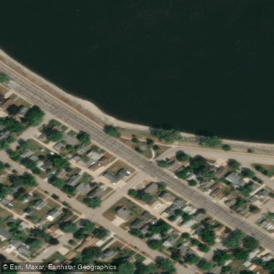
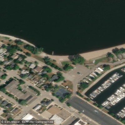
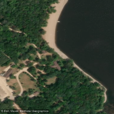
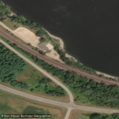
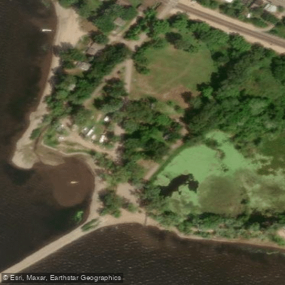
Learn how to get on Lake Pepin. Uncover great paddling access points, boat ramps, and all the facilities you need for an unforgettable day on the water. Some locations shown may border or include private property. Always check property boundaries and applicable regulations before visiting. PaddleWays's Public & Private Land layer can help you plan your access with confidence.
Paddle smarter with real-time insights
Whether you're en route and conditions shift or you're looking for the best spot based on current flows, we enable you to make informed decisions on the fly.








Find Places to Paddle

Over 400,000 Places to Paddle
Every user gets free access to launch points, boat ramps, and public property parcels.


Water and weather conditions (10 day forecast)
See the best times to paddle Lake Pepin and check the forecast before you go.
No forecast data available.
Paddling near Lake Pepin

Mississippi River
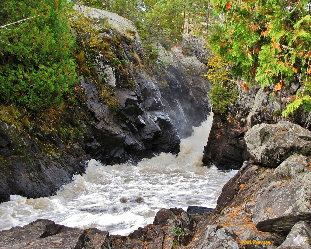
Vermillion River
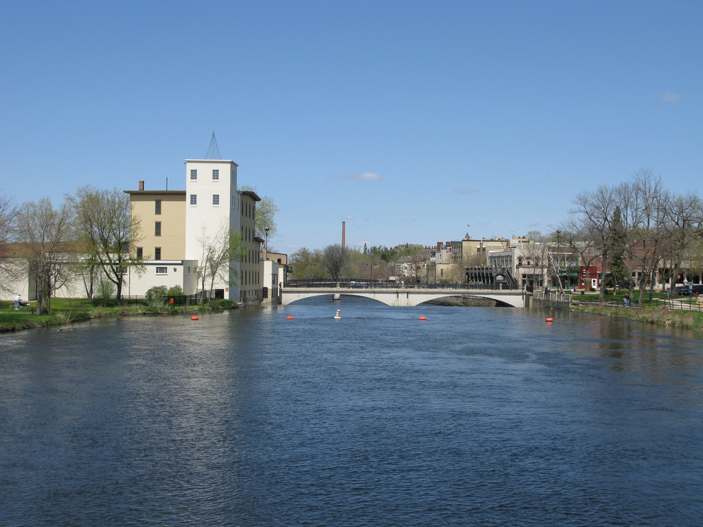
Cannon River
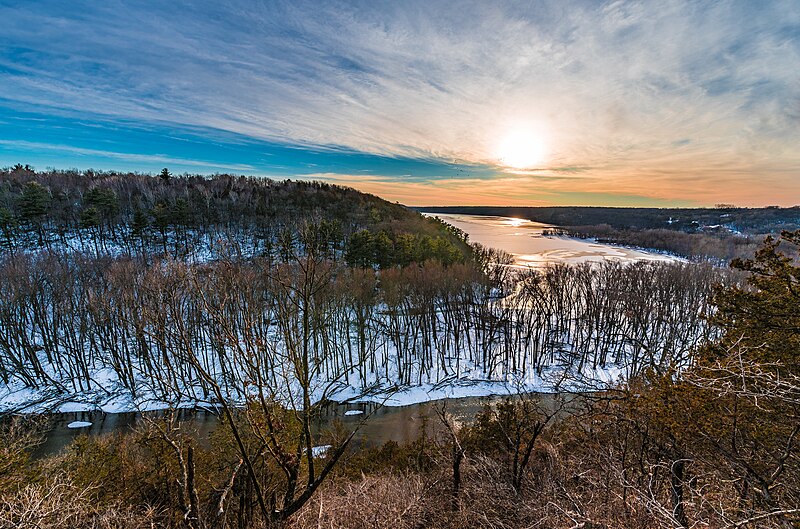
Kinnickinnic River
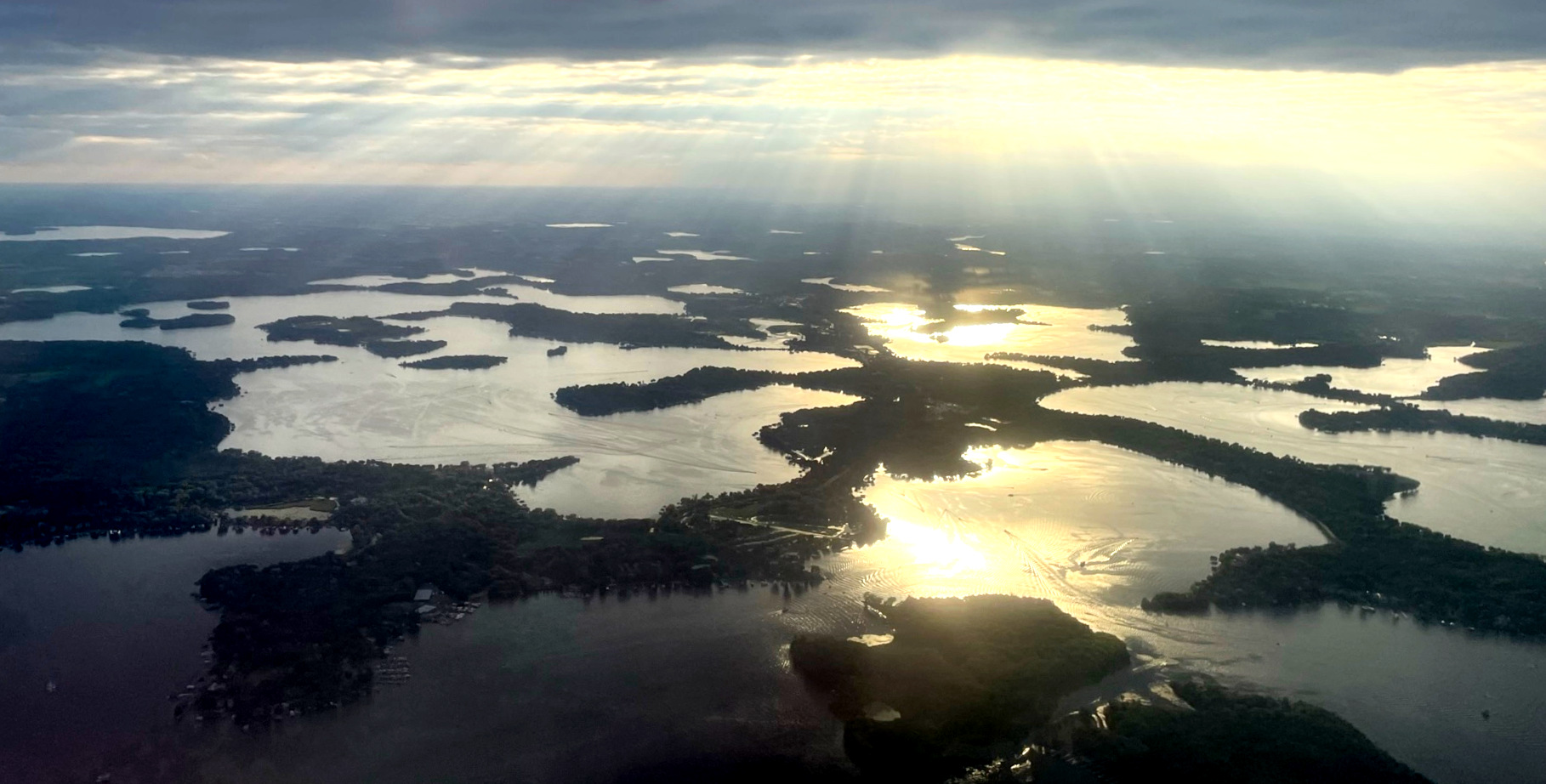
Lake Minnetonka

Willow River
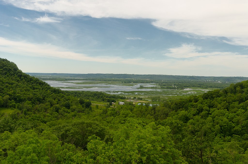
Chippewa River
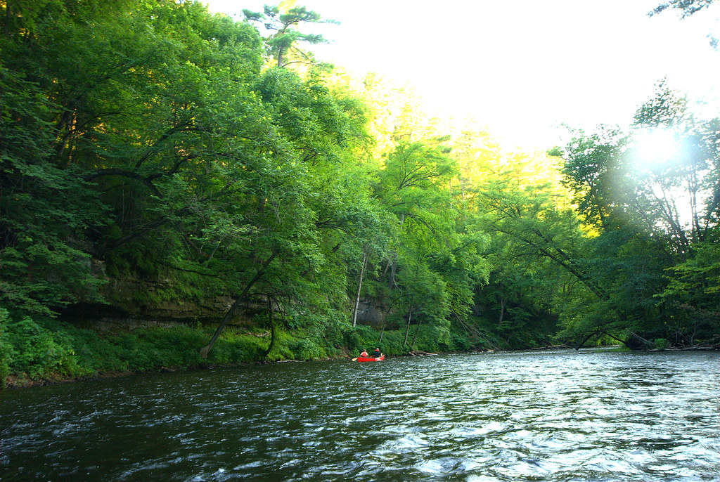
Apple River
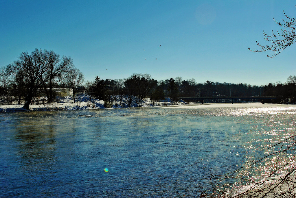
Red Cedar River
Explore Minnesota waters
Top paddling waters
Popular Cities
Loading popular cities...
Explore near Lake Pepin
Access points
- Mississippi River, Ohuta Municipal Park Public Water Access Site
- Mississippi River, Hok-Si-La Park Public Water Access Site
- Mississippi River, Roschen Park Public Water Access Site
- Bay City Boat Ramp
- Deer Island Landing
- Maiden Rock Boat Ramp Site
- Mississippi River, Maple Springs Public Water Access Site
- Sportsman's Landing Boat Ramp
- Gold Star Park Access
- Ohuta Park Access
- Hok-Si-La Park Access
- Sportsman's Landing Access
- All 45 spots
Nearby waters
More in Minnesota

Smarter Paddling Starts in the App.
Paddleways gives you everything you need to plan smarter, paddle better, and own every trip from first launch to takeout.