Mille Lacs Lake
Mille Lacs Lake
- Boat Ramps
- 38
- Access Points
- 42
- Campsites
- 8
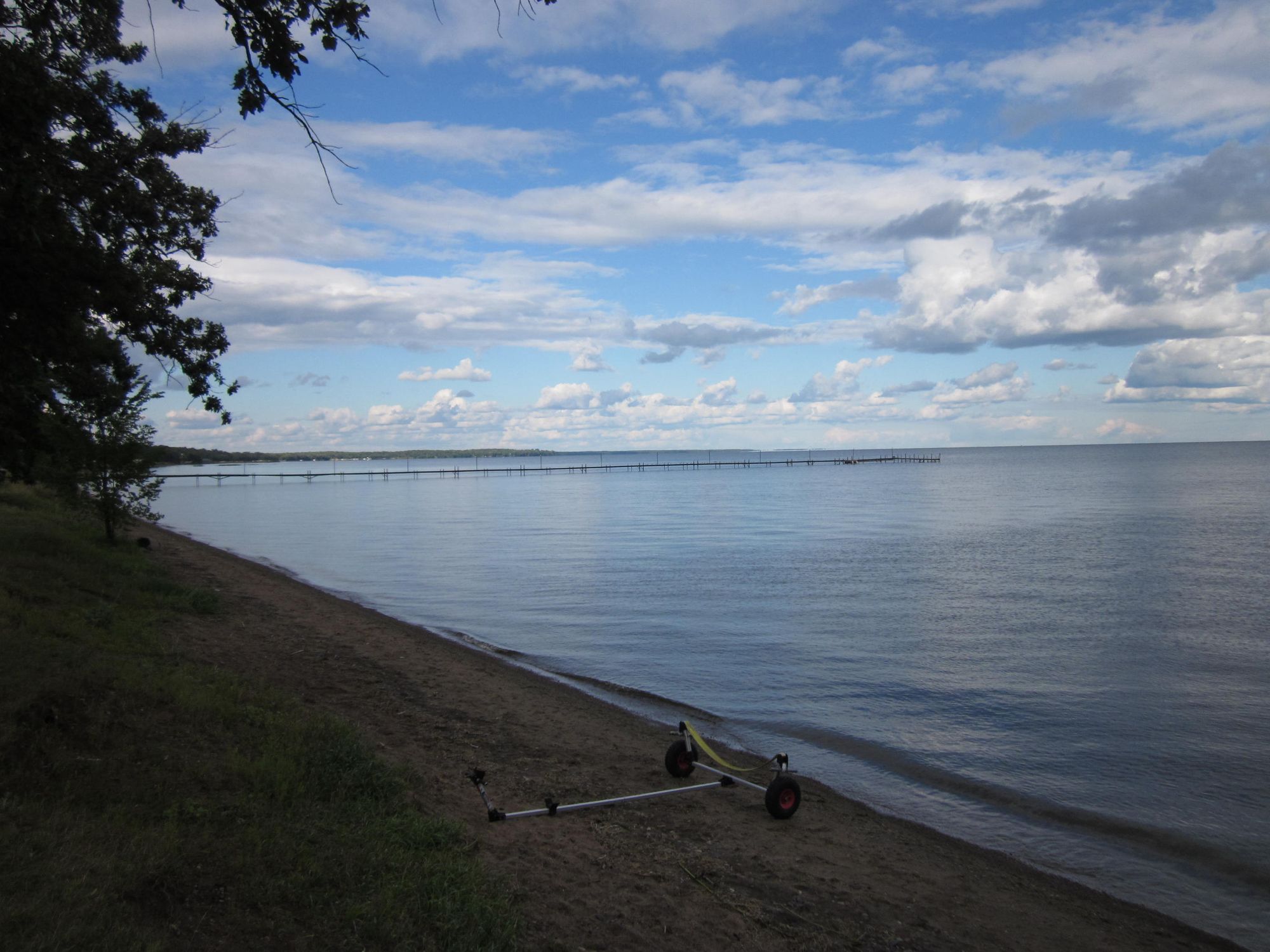
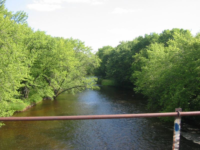
Mille Lacs Lake, Minnesota's second-largest inland lake, covers 132,516 acres and spans 207 square miles. Located about 1.5-2 hours from Minneapolis-St. Paul, this expansive body of water offers diverse paddling opportunities. While the lake itself is known for its excellent fishing, paddlers can explore the Rum River, which begins at Mille Lacs and flows 145 miles to join the Mississippi River.
The Rum River provides a mix of wild, scenic, and recreational segments suitable for various skill levels. Paddlers can expect Class I to Class II rapids during summer, adding excitement to the journey. The river passes through Mille Lacs Kathio State Park and Rum River State Forest, offering camping options for extended trips.
Wildlife enthusiasts will appreciate the abundant waterfowl and other animals visible along the shoreline. The area surrounding Mille Lacs Lake and the Rum River holds significant historical and cultural value, with artifacts dating back over 3,000 years, including burial mounds and ancient tools.
Kayak and canoe rentals are available near the lake for those without their own equipment. Smallmouth bass fishing is popular along the river, while northern pike can be found near the headwaters. The lake itself is renowned for walleye fishing.
Water levels on the Rum River are typically suitable for paddling throughout the summer months. The main lake body presents its own unique paddling experience, distinct from the river.
Paddlers should be aware that Mille Lacs Lake can experience significant wind and wave action due to its large size, potentially creating challenging conditions for small watercraft. As with any large body of water, checking current weather conditions and forecasts before setting out is essential for a safe and enjoyable experience.
Water access, boat ramps & amenities
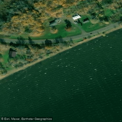
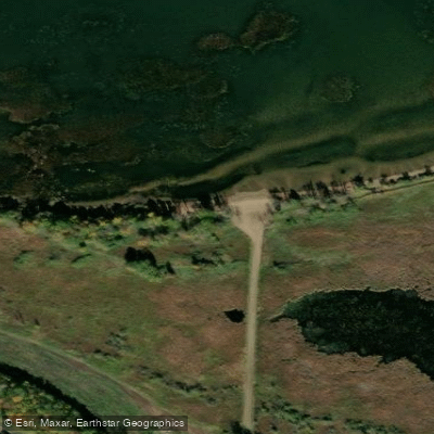
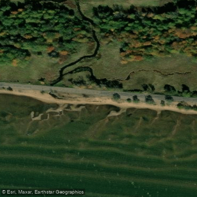
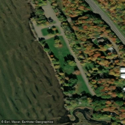
Learn how to get on Mille Lacs Lake. Uncover great paddling access points, boat ramps, and all the facilities you need for an unforgettable day on the water. Some locations shown may border or include private property. Always check property boundaries and applicable regulations before visiting. PaddleWays's Public & Private Land layer can help you plan your access with confidence.
Paddle smarter with real-time insights
Whether you're en route and conditions shift or you're looking for the best spot based on current flows, we enable you to make informed decisions on the fly.








Find Places to Paddle

Over 400,000 Places to Paddle
Every user gets free access to launch points, boat ramps, and public property parcels.


Water and weather conditions (10 day forecast)
See the best times to paddle Mille Lacs Lake and check the forecast before you go.
MILLE LACS LAKE AT COVE BAY NEAR ONAMIA, MN
Paddling near Mille Lacs Lake

Mississippi River
Sauk River
Rum River
Lake Minnetonka
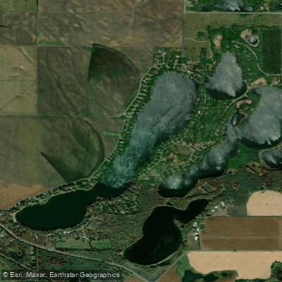
Long Lake
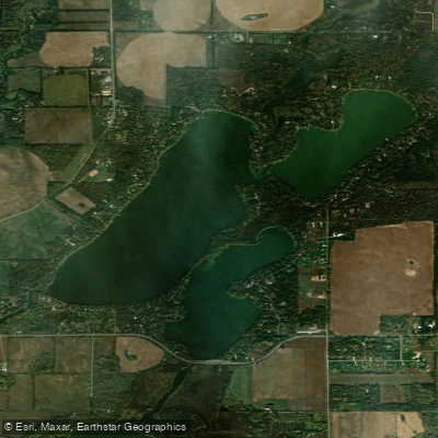
Julia Lake
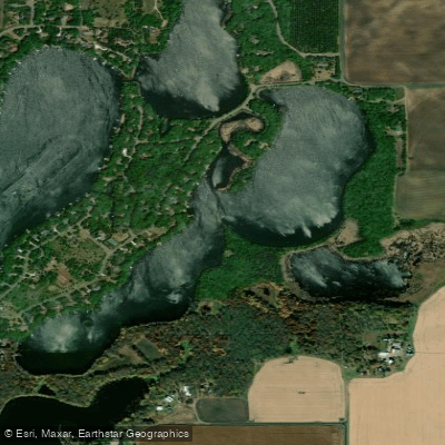
Pickerel Lake
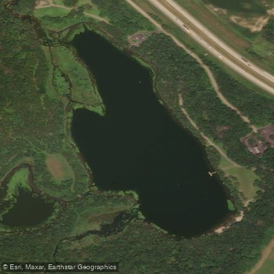
Warner Lake
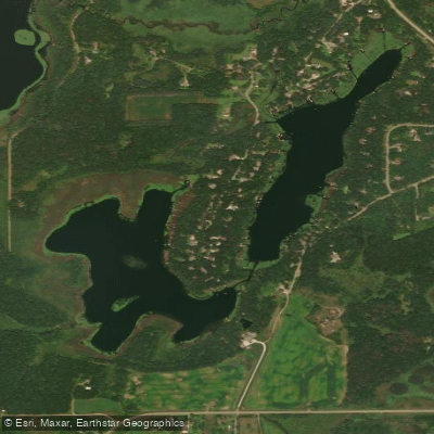
Long Lake
Explore Minnesota waters
Top paddling waters
Popular Cities
Loading popular cities...
Explore near Mille Lacs Lake
Access points
- Mille Lacs Lake, North Garrison Bay Public Water Access Site
- Mille Lacs Lake Wahkon Boat Ramp
- Breakers of Sunset Bay Boat Ramp
- Mille Lacs Lake Pike Point Garrison Boat Ramp
- Mille Lacs Lake, Cove Bay Boat Ramp
- Mille Lacs Lake, Wealthwood Public Water Access Site
- Agate Bay Resort Boat Ramp
- Mille Lacs Lake Liberty Beach Boat Ramp
- Voge Outdoors Boat Ramp
- Wilderness Bay Resort Boat Ramp
- Eastside RV and Marina Boat Ramp
- Doc's Harbor Boat Ramp
- All 64 spots
Nearby waters
More in Minnesota

Smarter Paddling Starts in the App.
Paddleways gives you everything you need to plan smarter, paddle better, and own every trip from first launch to takeout.