Lake Winnibigoshish
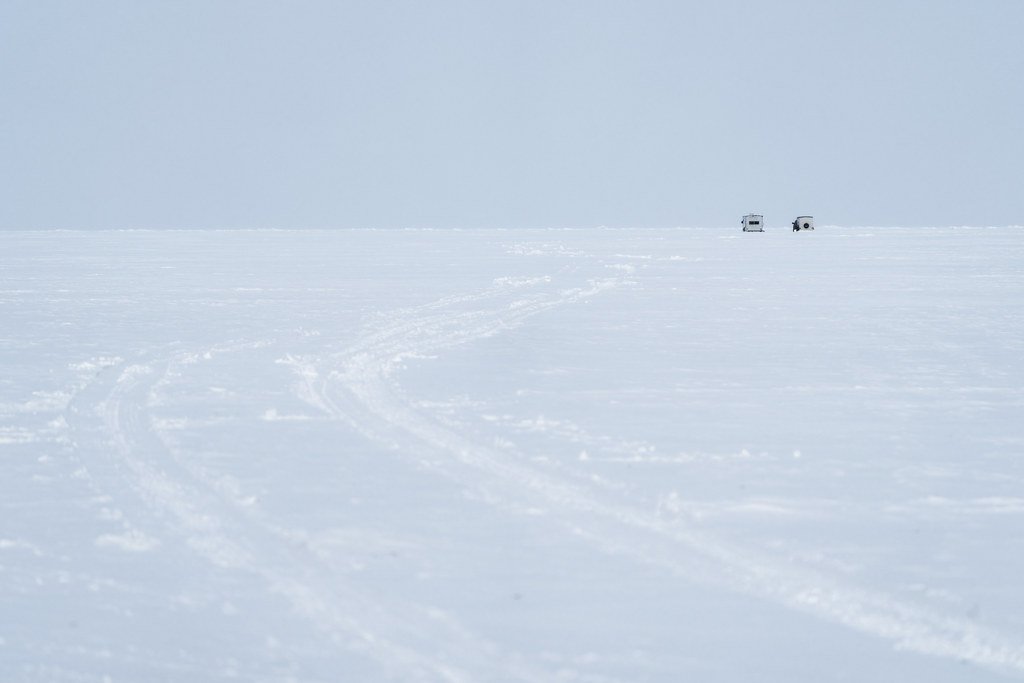
Lake Winnibigoshish
- Boat Ramps
- 13
- Access Points
- 14
- Campsites
- 14
Lake Winnibigoshish, known locally as "Lake Winnie," is a vast 58,544-acre lake in northern Minnesota. With 141 miles of shoreline, it offers ample opportunities for paddling exploration. The lake's size and open water can produce powerful waves, so paddlers should exercise caution, especially in windy conditions.
Access is available via several boat launches around the shoreline. The Winnibigoshish Lake Recreation Area near the Mississippi River provides a boat ramp, picnic shelter, and parking lot. Canoes and kayaks can be launched directly on the lake at various points.
Wildlife viewing is a highlight, with opportunities to spot bald eagles, ospreys, loons, otters, and deer along the shoreline. The lake is surrounded by mixed hardwood and pine forests, providing a scenic backdrop. Water quality is generally good, supporting a diverse fishery including walleye, perch, northern pike, and muskellunge.
Summer is the prime paddling season, with water activities in full swing. However, the lake is also popular for ice fishing in winter. Water temperatures vary significantly by season but are typically comfortable for paddling from late spring through early fall.
Paddlers should be aware of motorized boat traffic, especially north of the Sartell Dam to the Highway 2 Bridge. Additionally, the lake's large size means weather conditions can change rapidly, so checking forecasts and being prepared for shifting conditions is crucial.
Facilities for paddlers include campgrounds, resorts, and picnic areas along the shoreline. The Winnie Dam Campground offers 22 sites with electric hookups, showers, and a fish cleaning station. Several hiking trails in the surrounding Chippewa National Forest provide opportunities for on-shore exploration.
Historically, Lake Winnibigoshish has been significant since the late 1600s and was the site of the first dam on the Mississippi River, completed in 1884. This dam raised the lake level by 14 feet, significantly altering the landscape and local Native American communities.
Water access, boat ramps & amenities
Learn how to get on Lake Winnibigoshish. Uncover great paddling access points, boat ramps, and all the facilities you need for an unforgettable day on the water. Some locations shown may border or include private property. Always check property boundaries and applicable regulations before visiting. PaddleWays's Public & Private Land layer can help you plan your access with confidence.
Paddle smarter with real-time insights
Whether you're en route and conditions shift or you're looking for the best spot based on current flows, we enable you to make informed decisions on the fly.








Find Places to Paddle

Over 400,000 Places to Paddle
Every user gets free access to launch points, boat ramps, and public property parcels.


Water and weather conditions (10 day forecast)
See the best times to paddle Lake Winnibigoshish and check the forecast before you go.
No forecast data available.
Paddling near Lake Winnibigoshish
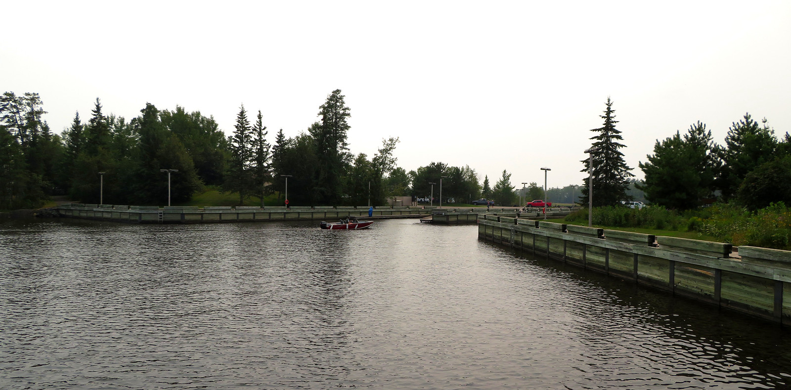
Rainy Lake
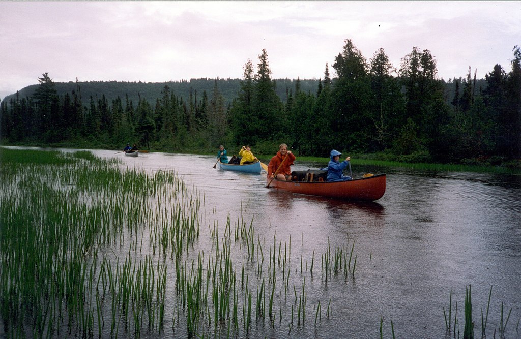
Rainy River
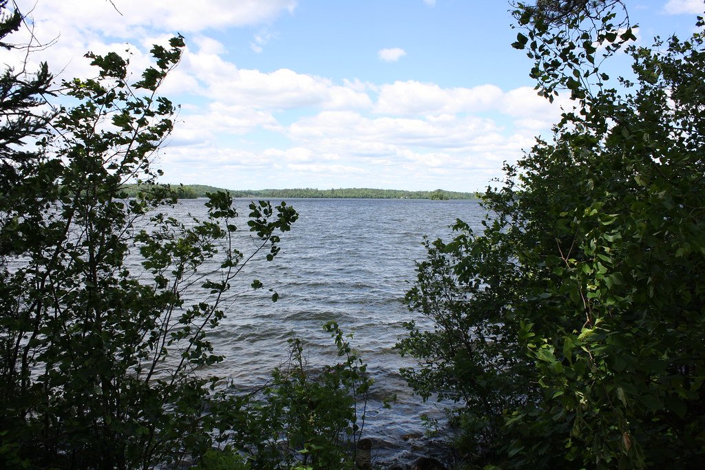
Vermilion Lake
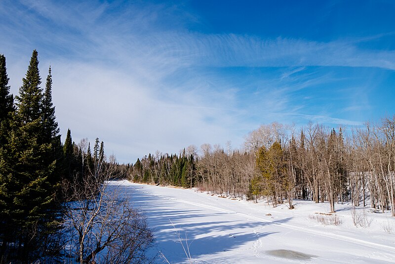
Big Fork River
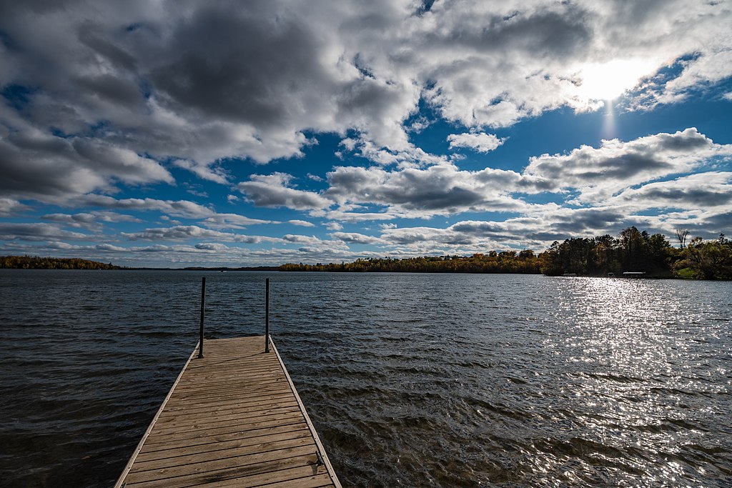
Trout Lake
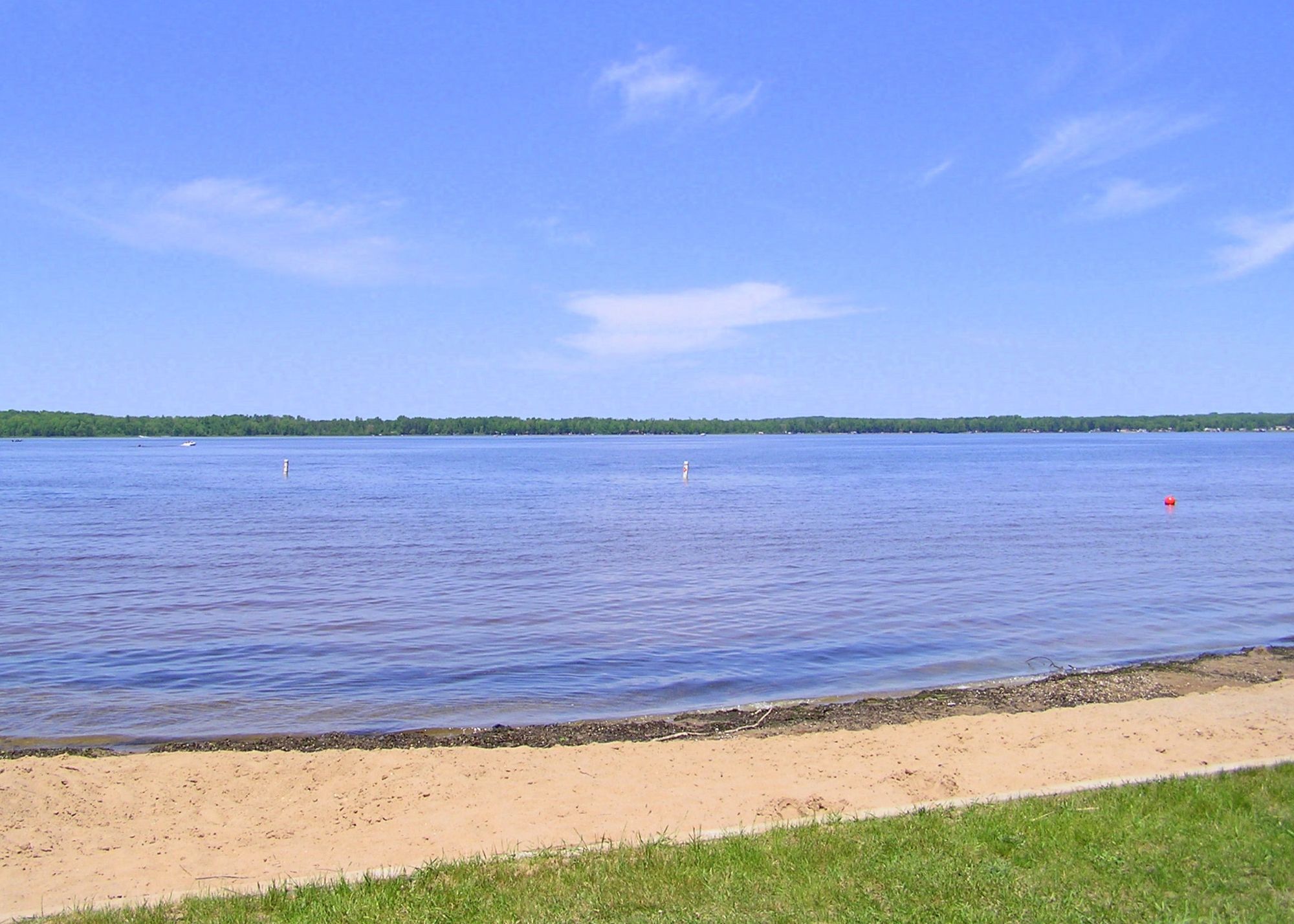
Loon Lake
Rainy Lake
Kabetogama Lake
Namakan Lake
Ash River
Explore Minnesota waters
Top paddling waters
Popular Cities
Loading popular cities...
Explore near Lake Winnibigoshish
Access points
- Lake Winnibigoshish Boat Ramp
- Lake Winnibigoshish Tamarack Point Boat Ramp
- Sunset Trail Boat Ramp
- Lake Winnibigoshish Richards Townsite Boat Ramp
- Plughat Point Boat Area Boat Ramp
- Lake Winnibigoshish Reese Landing Boat Ramp
- Lake Winnibigoshish Birches Boat Ramp
- Nodak Lodge and Resort Boat Ramp
- Lake Winnibigoshish, Tamarack Point Public Water Access Site
- Lake Winnibigoshish, Richards Townsite Public Water Access Site
- Lake Winnibigoshish, Plughat Point Public Water Access Site
- Denny's Resort Boat Ramp
- All 36 spots
Nearby waters
More in Minnesota

Smarter Paddling Starts in the App.
Paddleways gives you everything you need to plan smarter, paddle better, and own every trip from first launch to takeout.