Beaverhead River
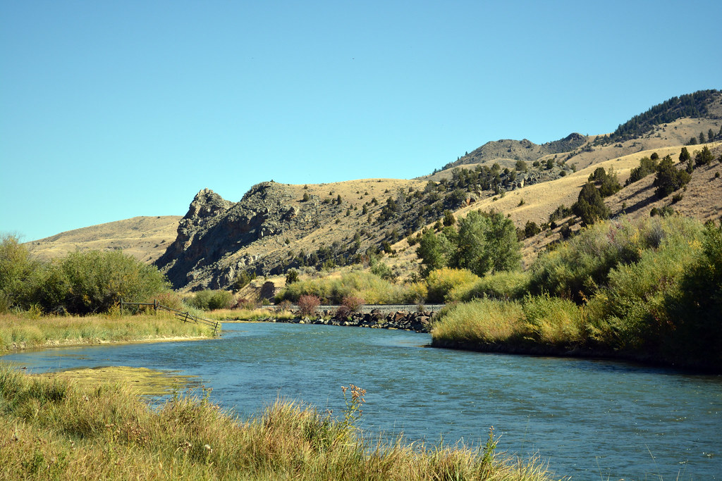
Beaverhead River
- Boat Ramps
- 8
- Access Points
- 21
- Campsites
- 2
The Beaverhead River is a premier trout fishing destination in southwestern Montana. Originating at Clark Canyon Dam south of Dillon, the river flows northward for approximately 69 miles before joining the Big Hole River near Twin Bridges to form the Jefferson River. The river offers diverse paddling opportunities across several distinct sections. The upper 16 miles from Clark Canyon Dam to Barrett's Diversion Dam provide challenging Class II whitewater combined with world-class fly fishing. Below Barrett's Dam, the river mellows as it winds through agricultural lands toward Dillon. The lower stretches offer a more relaxed float with intermittent riffles down to Twin Bridges. Overall difficulty ranges from Class I to III, with the most technical water in the upper section. Intermediate paddling skills are recommended, especially for navigating the swift currents and numerous bends of the upper river.
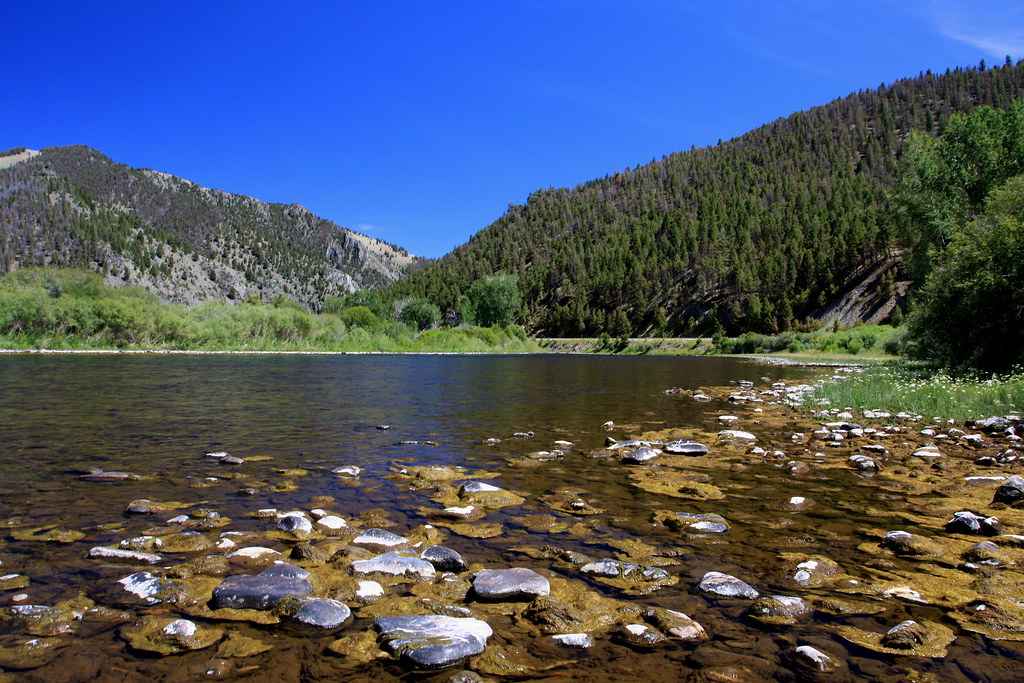
The best paddling conditions typically occur from late spring through early fall. June and July offer ideal water levels and hatches for combining paddling with fly fishing. Late summer can bring lower flows, while spring runoff may create hazardous high water conditions. The Beaverhead's cold, nutrient-rich waters support abundant trout populations, particularly brown trout. Riverside cottonwoods and willows provide habitat for diverse bird species. Mule deer, moose, and bald eagles are commonly sighted along the river corridor.
Key landmarks include Clark's Lookout State Park near Dillon, where William Clark of the Lewis and Clark expedition took compass readings in 1805. The historic town of Dillon serves as the primary access point and service center for river users. Popular access sites include Clark Canyon Dam, Henneberry Fishing Access, Barretts Dam, Dillon, and High Bridge near Twin Bridges. These offer opportunities for day trips or multi-day floats covering the river's entire length.
The Beaverhead played a significant role in the Lewis and Clark expedition and later became an important transportation corridor during Montana's early settlement. Today, it's renowned for its exceptional trout fishery and scenic beauty. Paddlers should be aware of irrigation diversions, especially Barrett's Dam, which requires a portage. Private property lines much of the river, so overnight camping options are limited. As with all Montana rivers, life jackets are required for all boaters.
For those seeking a multi-day adventure, the full 69-mile journey from Clark Canyon Dam to Twin Bridges offers a comprehensive Beaverhead experience, typically taking 3-4 days. This trip showcases the river's varied character, from technical upper reaches to the serene lower valley.
Water access, boat ramps & amenities
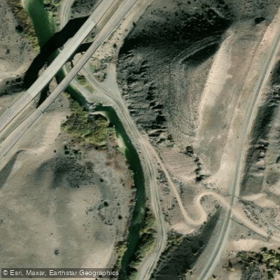
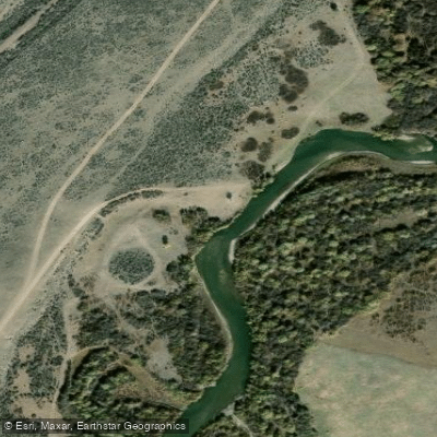
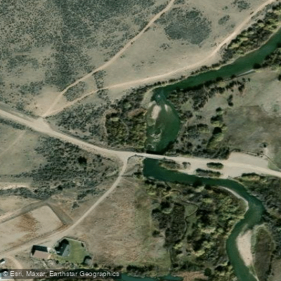
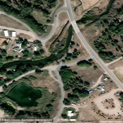
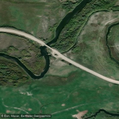
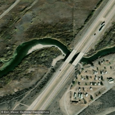
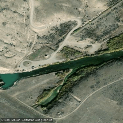
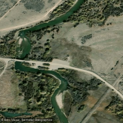
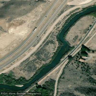
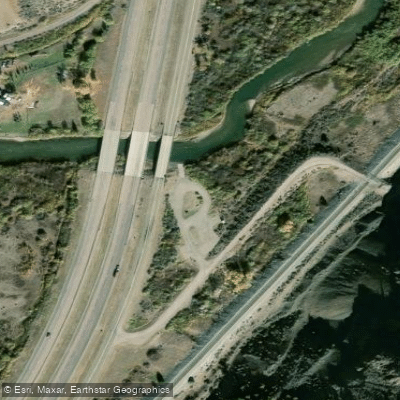
Learn how to get on Beaverhead River. Uncover great paddling access points, boat ramps, and all the facilities you need for an unforgettable day on the water. Some locations shown may border or include private property. Always check property boundaries and applicable regulations before visiting. PaddleWays's Public & Private Land layer can help you plan your access with confidence.
Paddle smarter with real-time insights
Whether you're en route and conditions shift or you're looking for the best spot based on current flows, we enable you to make informed decisions on the fly.








Find Places to Paddle

Over 400,000 Places to Paddle
Every user gets free access to launch points, boat ramps, and public property parcels.


Water and weather conditions (10 day forecast)
See the best times to paddle Beaverhead River and check the forecast before you go.
Beaverhead River at Barretts MT
All Flow Stations
Paddling near Beaverhead River
Big Hole River
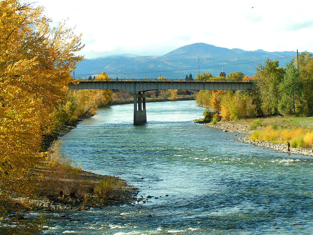
Clark Fork
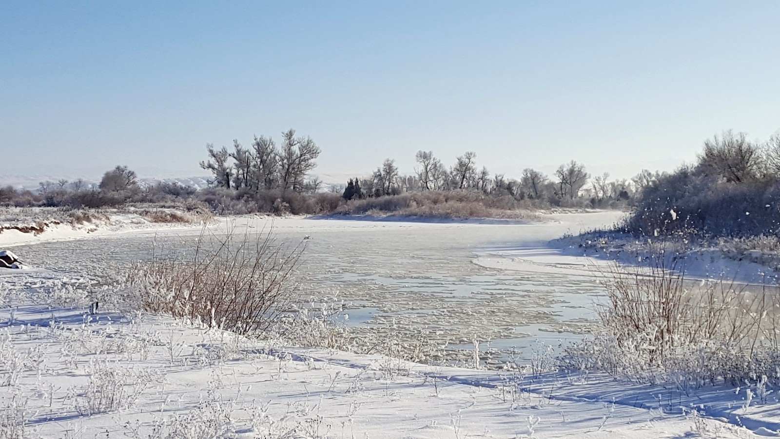
Jefferson River
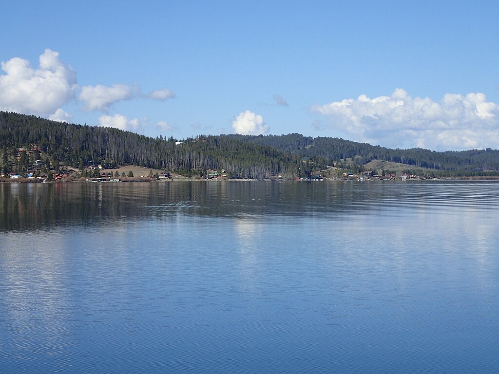
Georgetown Lake
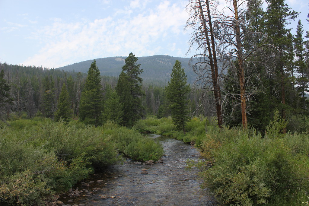
Wise River
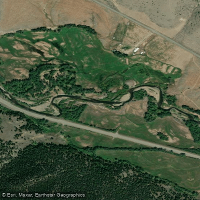
Boulder River
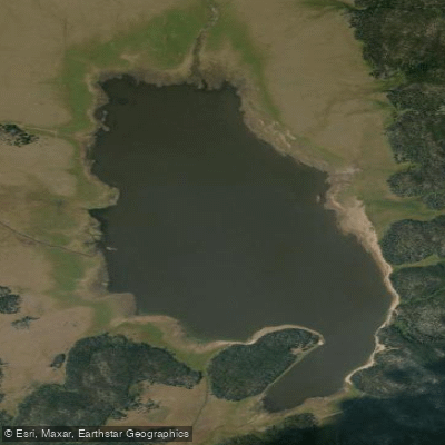
Whitetail Reservoir
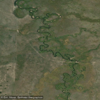
Bison Creek
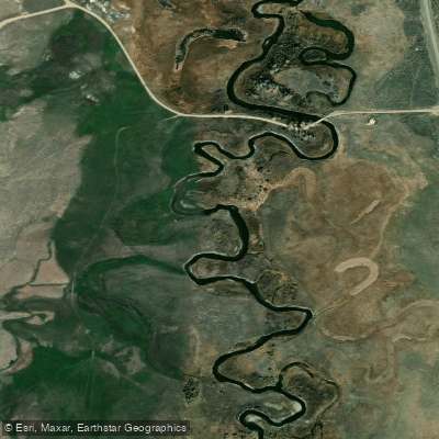
Ruby River
Explore Montana waters
Top paddling waters
Popular Cities
Loading popular cities...
Explore near Beaverhead River
Access points
Nearby waters
More in Montana

Smarter Paddling Starts in the App.
Paddleways gives you everything you need to plan smarter, paddle better, and own every trip from first launch to takeout.