Bison Creek
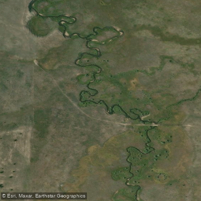
Bison Creek
- Boat Ramps
- 0
- Access Points
- 1
- Campsites
- 1
Bison Creek originates in the Boulder Mountains of southwestern Montana, flowing through Jefferson County before joining the Boulder River near the town of Boulder. This tributary system drains the high country south of the Boulder Valley, carrying snowmelt and spring runoff from elevations approaching 8,000 feet down to the valley floor at approximately 4,800 feet. The creek flows generally northward through a mix of forested mountain terrain and open meadowlands.
According to historical documents, Bison Creek represents one of the significant tributaries contributing to the Boulder River watershed, which ultimately feeds into the Jefferson River system. The upper reaches traverse public lands within the Deerlodge National Forest, while lower sections pass through a combination of private ranch lands and scattered rural properties.
Access to Bison Creek is limited due to the predominance of private land ownership along much of its length. The nearest population center is Boulder, located approximately 30 miles southeast of Helena. The creek's remote character and restricted access mean it sees minimal recreational use compared to larger regional waterways.
Flow patterns follow typical snowmelt-driven cycles for southwestern Montana streams. Peak flows occur during May and June as mountain snowpack melts, with water levels declining substantially by mid-summer. By late summer and fall, flows can become quite low, particularly in drought years. Winter conditions bring ice formation and minimal flow.
The watershed supports typical montane riparian vegetation, including willows, alders, and cottonwoods along the creek corridor, with lodgepole pine and Douglas fir dominating the surrounding slopes. Wildlife common to the area includes white-tailed deer, elk, black bears, and various small mammals. The creek provides habitat for native fish species, though specific population data is limited.
Historical records indicate that Bison Creek and the surrounding Boulder River drainage played a role in early settlement patterns and agricultural development of Jefferson County. The area's ranching heritage continues today, with water from Bison Creek supporting livestock operations and limited irrigation.
For those considering exploration of Bison Creek, obtaining permission from private landowners is essential, as public access points are scarce. The creek's small size, seasonal flow variability, and limited accessibility mean it remains primarily a local resource rather than a destination for recreational paddling or fishing. Those interested in the broader Boulder River system will find more developed access and recreational opportunities along the mainstem Boulder River itself.
Water access, boat ramps & amenities
Learn how to get on Bison Creek. Uncover great paddling access points, boat ramps, and all the facilities you need for an unforgettable day on the water. Some locations shown may border or include private property. Always check property boundaries and applicable regulations before visiting. PaddleWays's Public & Private Land layer can help you plan your access with confidence.
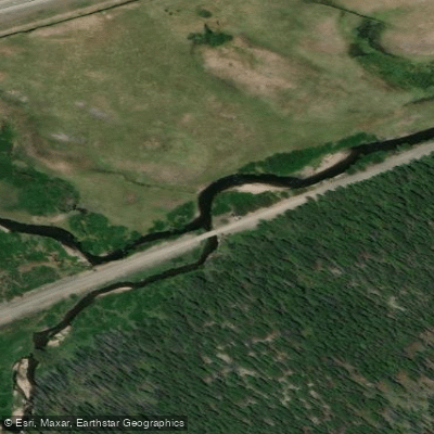
Paddle smarter with real-time insights
Whether you're en route and conditions shift or you're looking for the best spot based on current flows, we enable you to make informed decisions on the fly.








Find Places to Paddle

Over 400,000 Places to Paddle
Every user gets free access to launch points, boat ramps, and public property parcels.


Water and weather conditions (10 day forecast)
See the best times to paddle Bison Creek and check the forecast before you go.
No forecast data available.
Paddling near Bison Creek
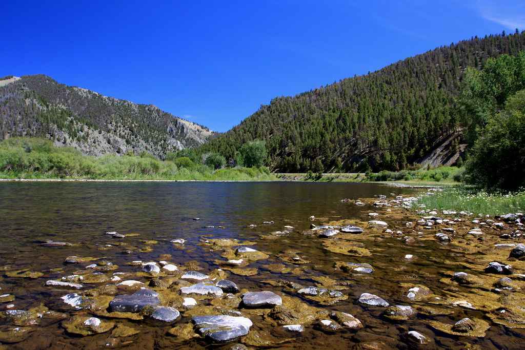
Big Hole River
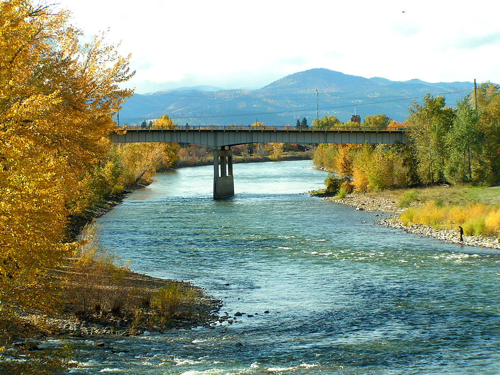
Clark Fork
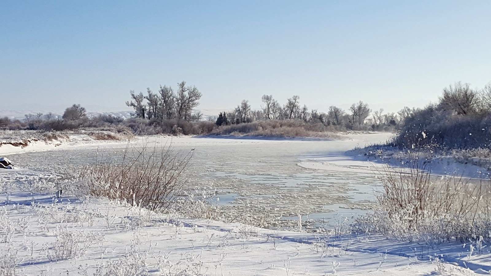
Jefferson River
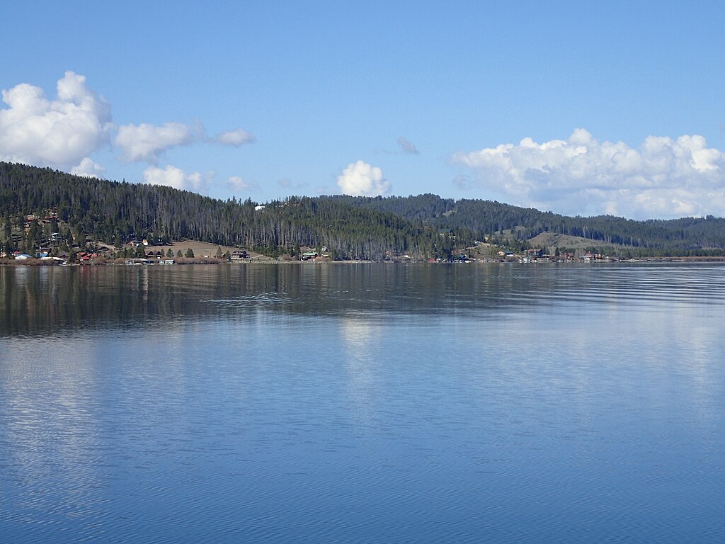
Georgetown Lake
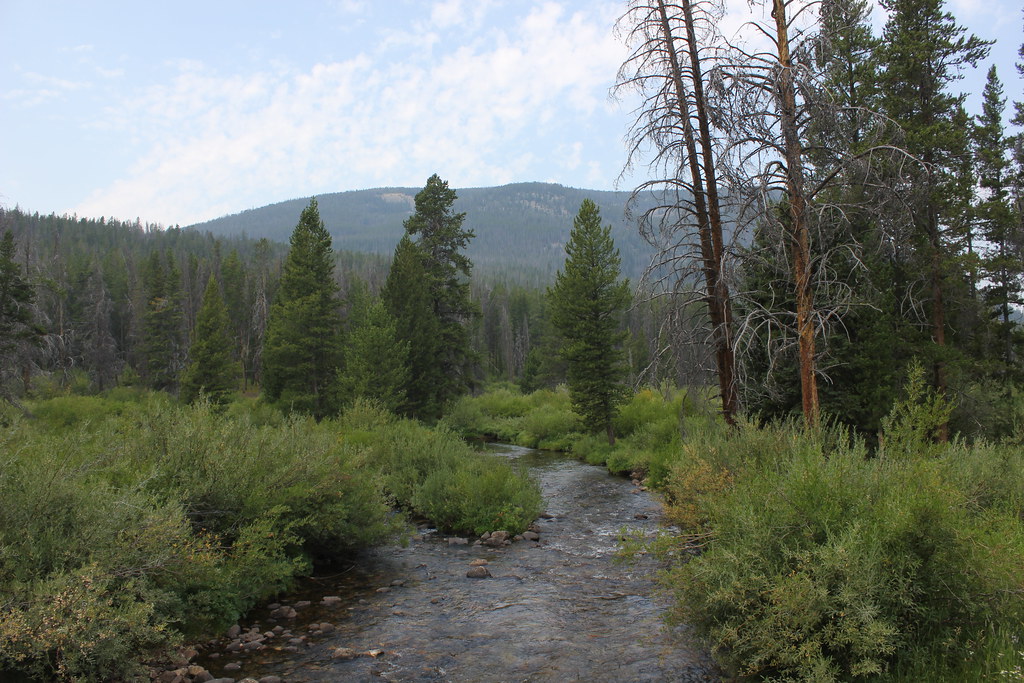
Wise River
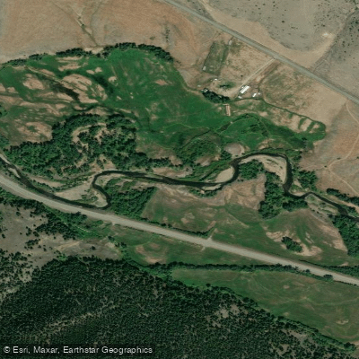
Boulder River
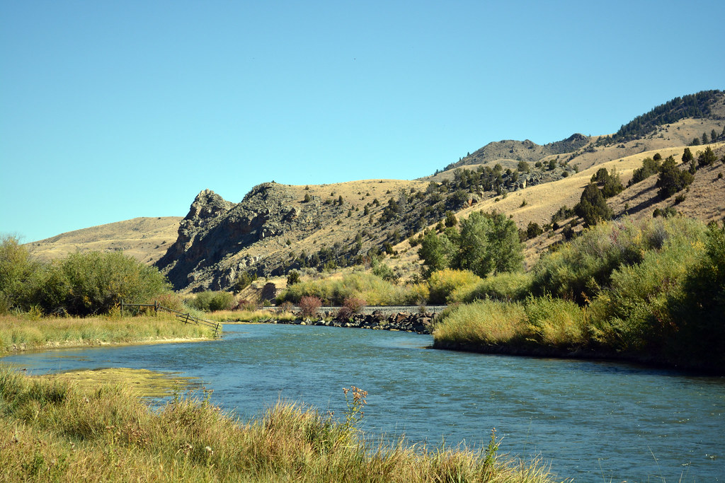
Beaverhead River
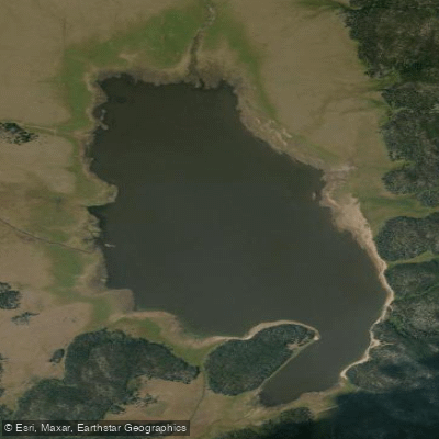
Whitetail Reservoir
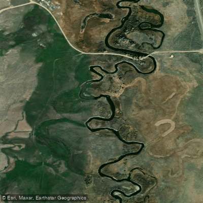
Ruby River
Explore Montana waters
Top paddling waters
Popular Cities
Loading popular cities...
Explore near Bison Creek
Access points
Nearby waters
More in Montana

Smarter Paddling Starts in the App.
Paddleways gives you everything you need to plan smarter, paddle better, and own every trip from first launch to takeout.