Wise River
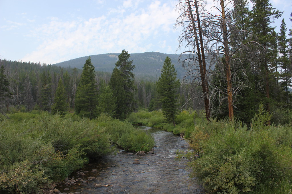
Wise River
- Boat Ramps
- 0
- Access Points
- 8
- Campsites
- 14
The Wise River is a small but significant tributary of the Big Hole River in southwestern Montana. Originating high in the Pioneer Mountains, this pristine mountain stream flows northward for approximately 30 miles before joining the Big Hole near the tiny community of Wise River. While relatively short, the Wise River offers excellent fly fishing opportunities in a scenic mountain setting. The river is characterized by clear, cold waters tumbling over boulder-strewn beds, creating prime habitat for trout, Arctic grayling, and Rocky Mountain whitefish. The surrounding landscape features dense coniferous forests, giving way to sagebrush-covered hills as the river descends.
Paddling on the Wise River itself is limited due to its small size and frequent obstructions. However, it serves as an important access point and landmark for floaters on the larger Big Hole River. The confluence of the Wise and Big Hole rivers marks the beginning of a popular 25-mile stretch known as the Canyon Section, which offers Class II-III whitewater suitable for intermediate paddlers. The best time to float the Big Hole near the Wise River confluence is typically May through July when water levels are optimal. Later in the summer, flows often drop too low for effective navigation.
Anglers prize this area for its excellent dry fly fishing, particularly during the salmonfly hatch in late spring. Notable landmarks include the small town of Wise River, which serves as a base for outdoor enthusiasts exploring the area. The Pioneer Mountains Scenic Byway follows the Wise River valley, offering stunning views and access to numerous hiking trails and campgrounds.
For those planning multi-day trips, the Wise River area provides an excellent starting point for longer floats down the Big Hole. Paddlers can put in at Wise River and take out at various points downstream, such as Divide or Melrose, allowing for 1-3 day adventures through the scenic canyon.
Safety considerations include rapidly changing mountain weather, cold water temperatures, and the presence of bears in the surrounding wilderness. Paddlers should be prepared for remote conditions and limited cell phone coverage. Additionally, respect for private property along the riverbanks is essential, as much of the land is working ranchland.
The Wise River and its confluence with the Big Hole offer a quintessential Montana river experience, combining excellent fishing, scenic beauty, and a taste of whitewater adventure in a relatively accessible package.
Water access, boat ramps & amenities
Learn how to get on Wise River. Uncover great paddling access points, boat ramps, and all the facilities you need for an unforgettable day on the water. Some locations shown may border or include private property. Always check property boundaries and applicable regulations before visiting. PaddleWays's Public & Private Land layer can help you plan your access with confidence.
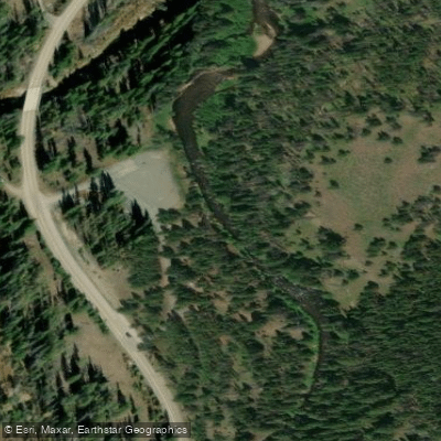
Pettengill Access
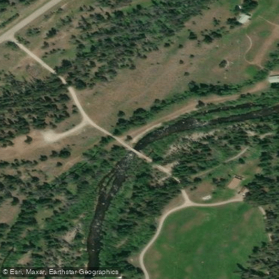
Sheep Creek Trailhead Access
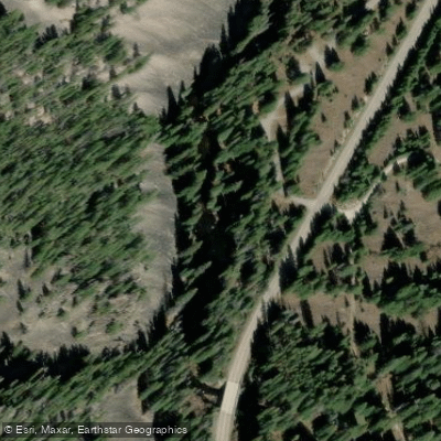
Lodge Pole Access
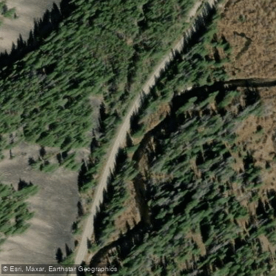
Pioneer Mountains Scenic Byway Access
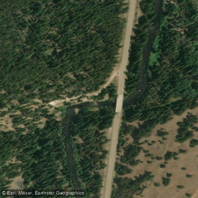
Pioneer Mountains Scenic Byway Access
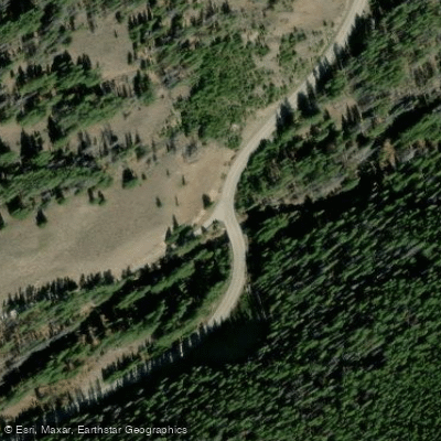
Wyman Creek Access
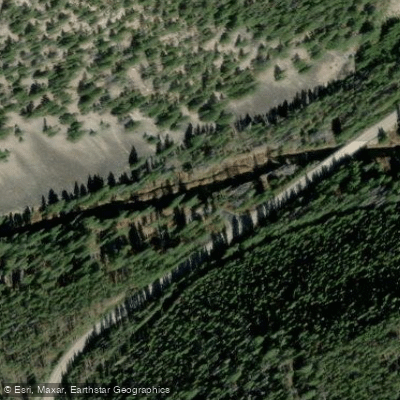
Willow Access
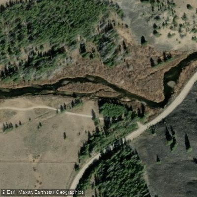
Pioneer Mountinas Scenic Byway Access
Paddle smarter with real-time insights
Whether you're en route and conditions shift or you're looking for the best spot based on current flows, we enable you to make informed decisions on the fly.








Find Places to Paddle

Over 400,000 Places to Paddle
Every user gets free access to launch points, boat ramps, and public property parcels.


Water and weather conditions (10 day forecast)
See the best times to paddle Wise River and check the forecast before you go.
Wise River nr mouth
Paddling near Wise River
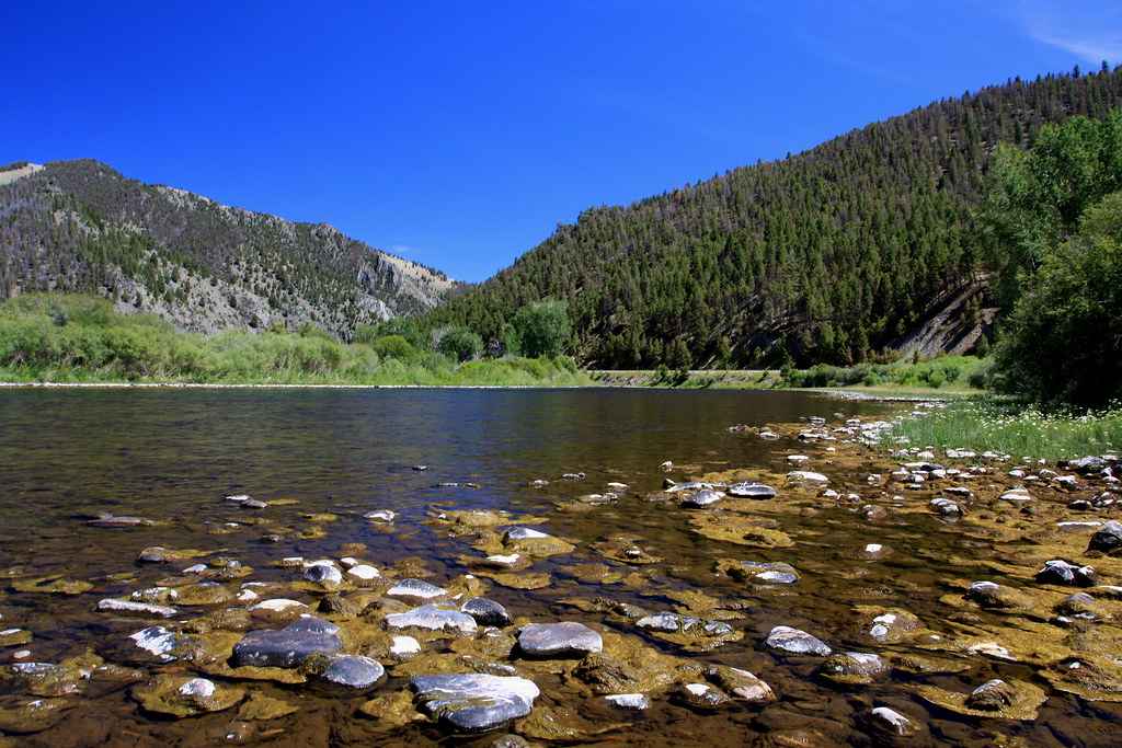
Big Hole River
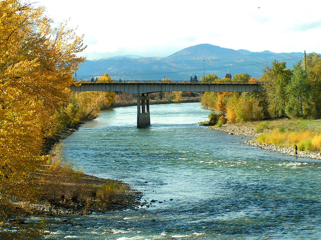
Clark Fork
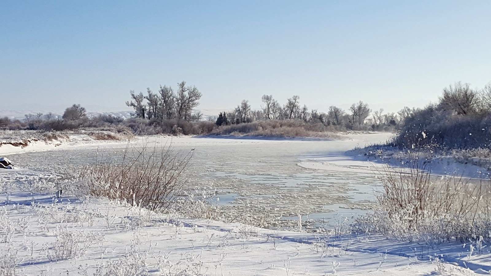
Jefferson River
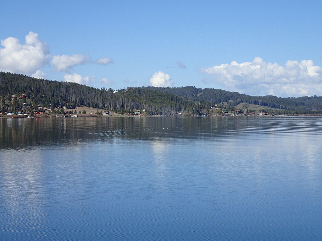
Georgetown Lake
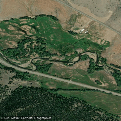
Boulder River
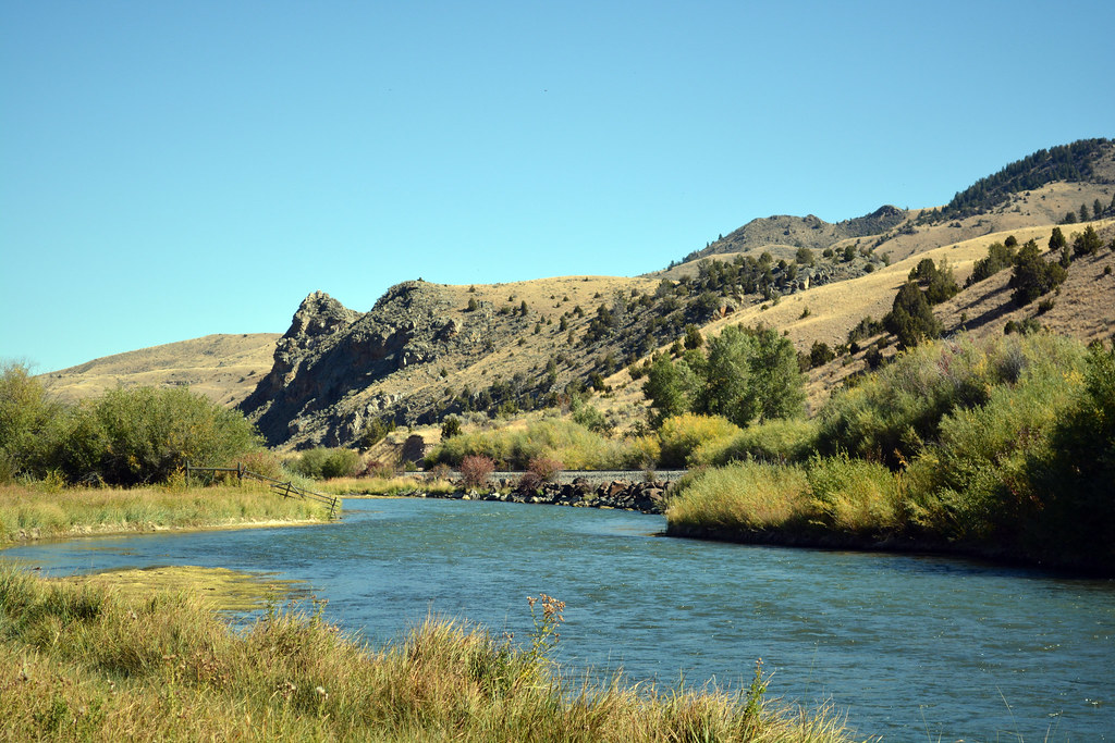
Beaverhead River
Whitetail Reservoir
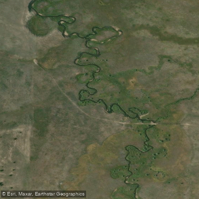
Bison Creek
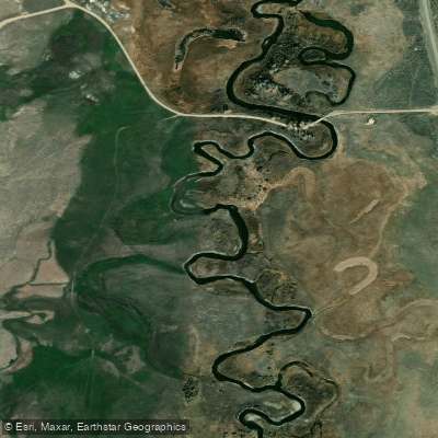
Ruby River
Explore Montana waters
Top paddling waters
Popular Cities
Loading popular cities...
Explore near Wise River
Access points
- Pettengill Access
- Sheep Creek Trailhead Access
- Lodge Pole Access
- Pioneer Mountains Scenic Byway Access
- Pioneer Mountains Scenic Byway Access
- Wyman Creek Access
- Willow Access
- Pioneer Mountinas Scenic Byway Access
- Wise River 020 Bridge
- Wise River 076 Bridge
- Wise River 018 Bridge
- Wise River 075 Bridge
- All 43 spots
Nearby waters
More in Montana

Smarter Paddling Starts in the App.
Paddleways gives you everything you need to plan smarter, paddle better, and own every trip from first launch to takeout.