Ruby River
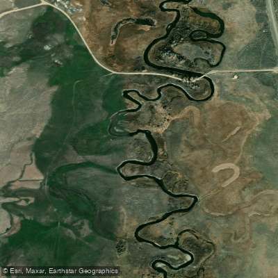
Ruby River
- Boat Ramps
- 0
- Access Points
- 5
- Campsites
- 2
The Ruby River is a picturesque waterway in southwestern Montana, originating near the Continental Divide and flowing northward through the Ruby Valley. This small but significant river joins the Beaverhead River near Twin Bridges, forming part of the Jefferson River watershed. The Ruby stretches approximately 76 miles, with its upper reaches flowing into the Ruby Reservoir before continuing downstream.
Paddling opportunities on the Ruby River are primarily suited for canoeists and kayakers seeking a peaceful, scenic experience rather than whitewater thrills. The river is divided into three main sections: the upper Ruby above the reservoir, the reservoir itself, and the lower Ruby from the dam to its confluence. The most commonly paddled stretch runs from Silver Springs Bridge to near Alder, offering about 10 miles of Class I-II water through pastoral landscapes.
The Ruby River's difficulty ranges from Class I to II, making it suitable for beginner to intermediate paddlers. However, the river's narrow width, brushy banks, and potential obstacles require attentiveness and basic maneuvering skills. The best paddling season typically runs from late spring through early fall, with water levels and clarity often optimal in June and July.
The river corridor supports a diverse ecosystem, home to rainbow, brown, and cutthroat trout, as well as the rare Arctic grayling in its upper reaches. Paddlers may spot wildlife such as deer, eagles, and various waterfowl along the banks lined with willows and cottonwoods.
Key access points include the Silver Springs Bridge Fishing Access Site near Sheridan, various bridge crossings, and take-outs near Alder. The historic mining towns of Alder and Virginia City lie close to the river's course, offering glimpses into Montana's gold rush era.
The Ruby River gained prominence in recent years as a focal point in Montana's stream access debates, cementing its importance in the state's recreational landscape. Paddlers should be aware of and respect private property along the banks while enjoying their right to navigate the public waterway.
Safety considerations include being prepared for changing weather conditions, watching for submerged obstacles, and respecting the river's fishing heritage by yielding to anglers when possible. While primarily known for day trips, multi-day adventures are possible for those willing to camp at designated sites and arrange shuttles.
The Ruby River offers a quintessential Montana paddling experience, combining natural beauty, rich history, and excellent fishing opportunities in a less-crowded setting than some of the state's more famous waterways.
Water access, boat ramps & amenities
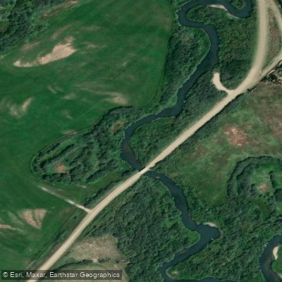
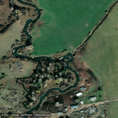
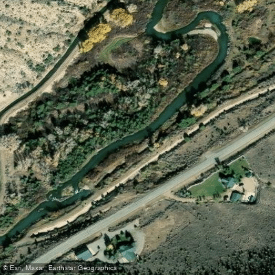
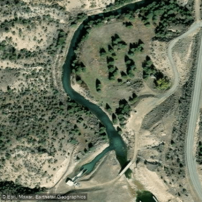
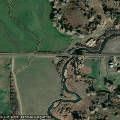
Learn how to get on Ruby River. Uncover great paddling access points, boat ramps, and all the facilities you need for an unforgettable day on the water. Some locations shown may border or include private property. Always check property boundaries and applicable regulations before visiting. PaddleWays's Public & Private Land layer can help you plan your access with confidence.
Paddle smarter with real-time insights
Whether you're en route and conditions shift or you're looking for the best spot based on current flows, we enable you to make informed decisions on the fly.








Find Places to Paddle

Over 400,000 Places to Paddle
Every user gets free access to launch points, boat ramps, and public property parcels.


Water and weather conditions (10 day forecast)
See the best times to paddle Ruby River and check the forecast before you go.
Ruby River below reservoir near Alder, MT
All Flow Stations
Paddling near Ruby River
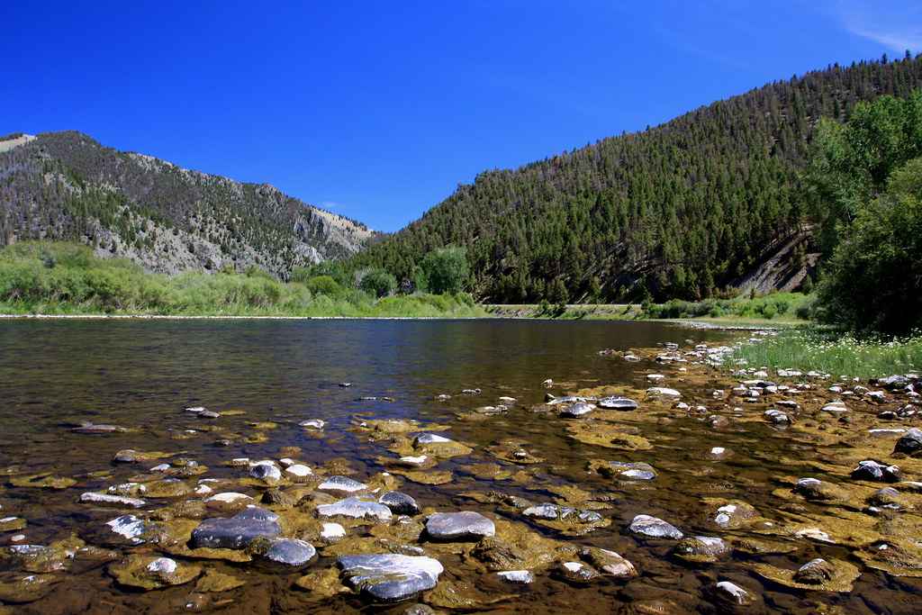
Big Hole River
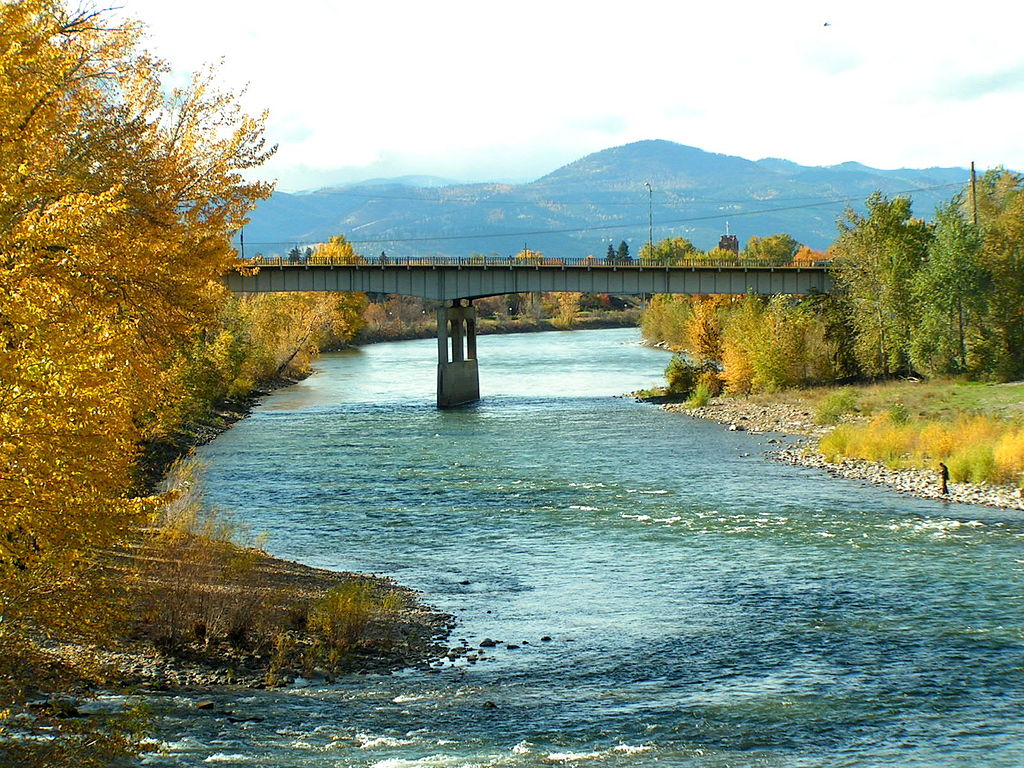
Clark Fork
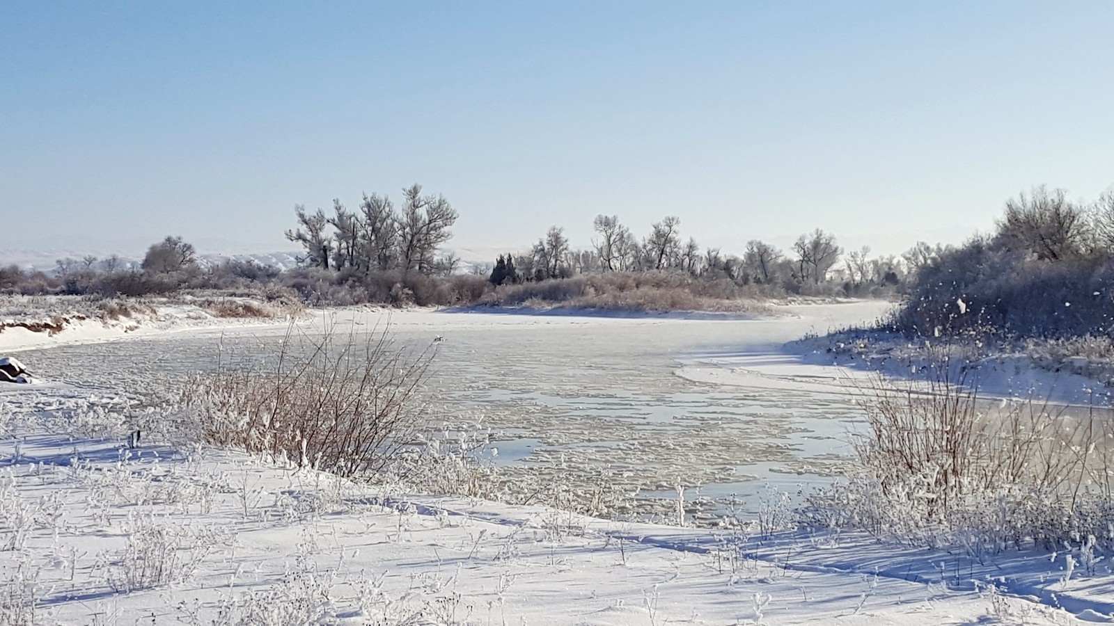
Jefferson River
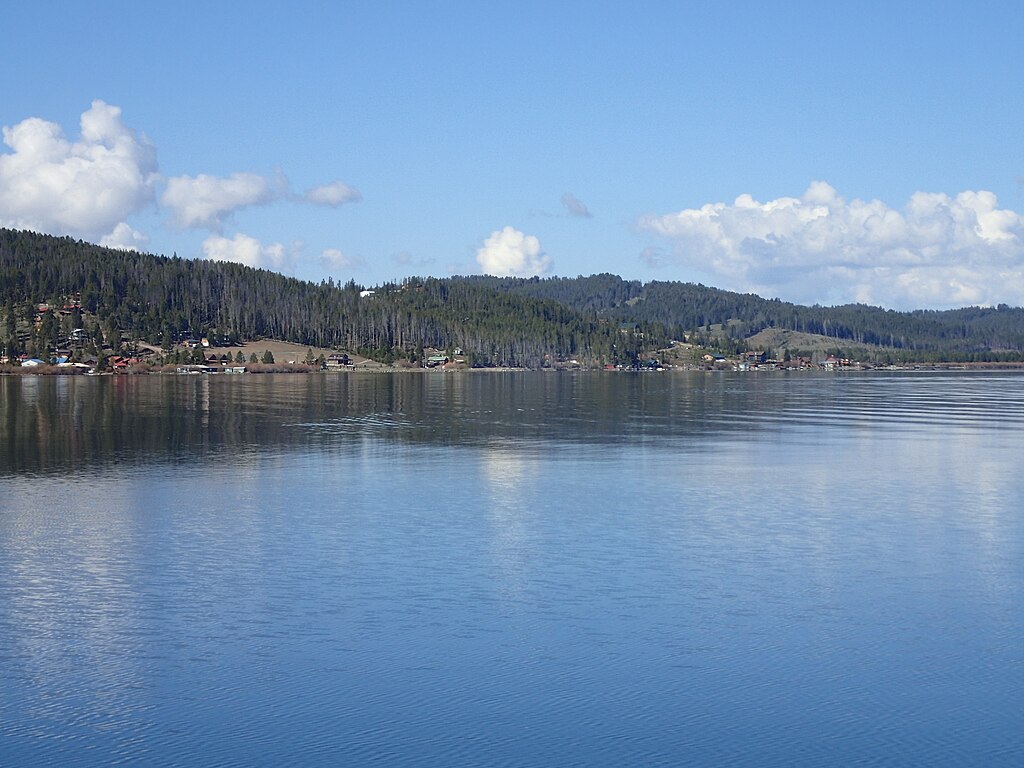
Georgetown Lake
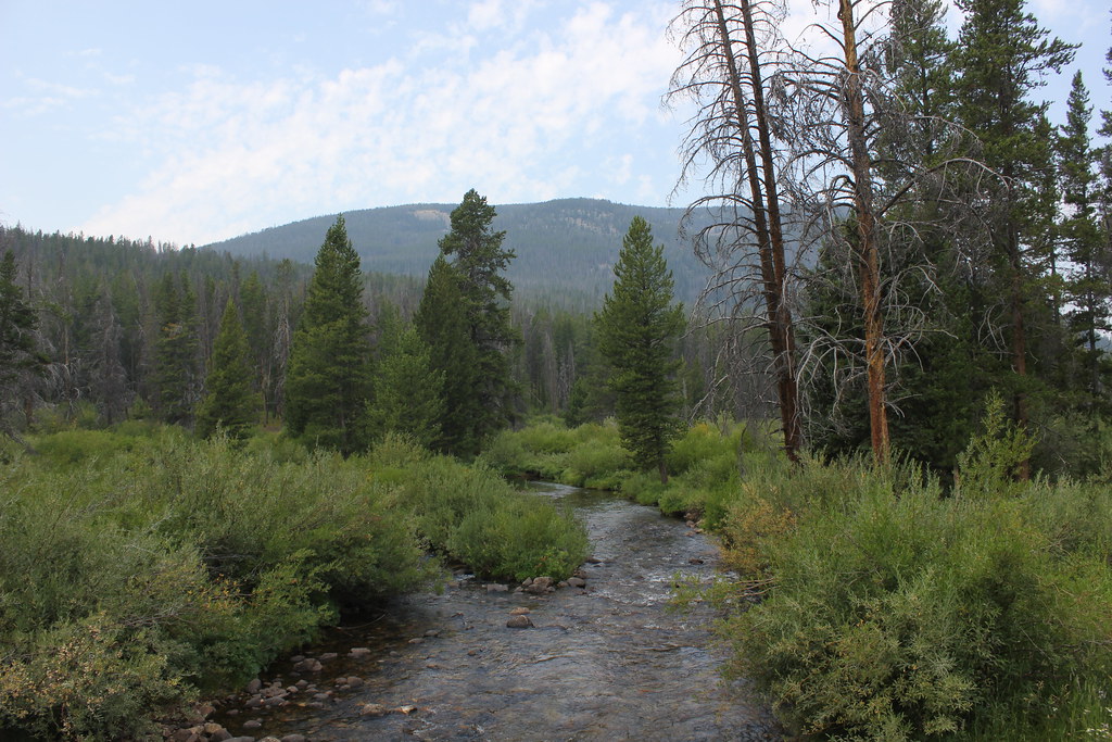
Wise River
Boulder River
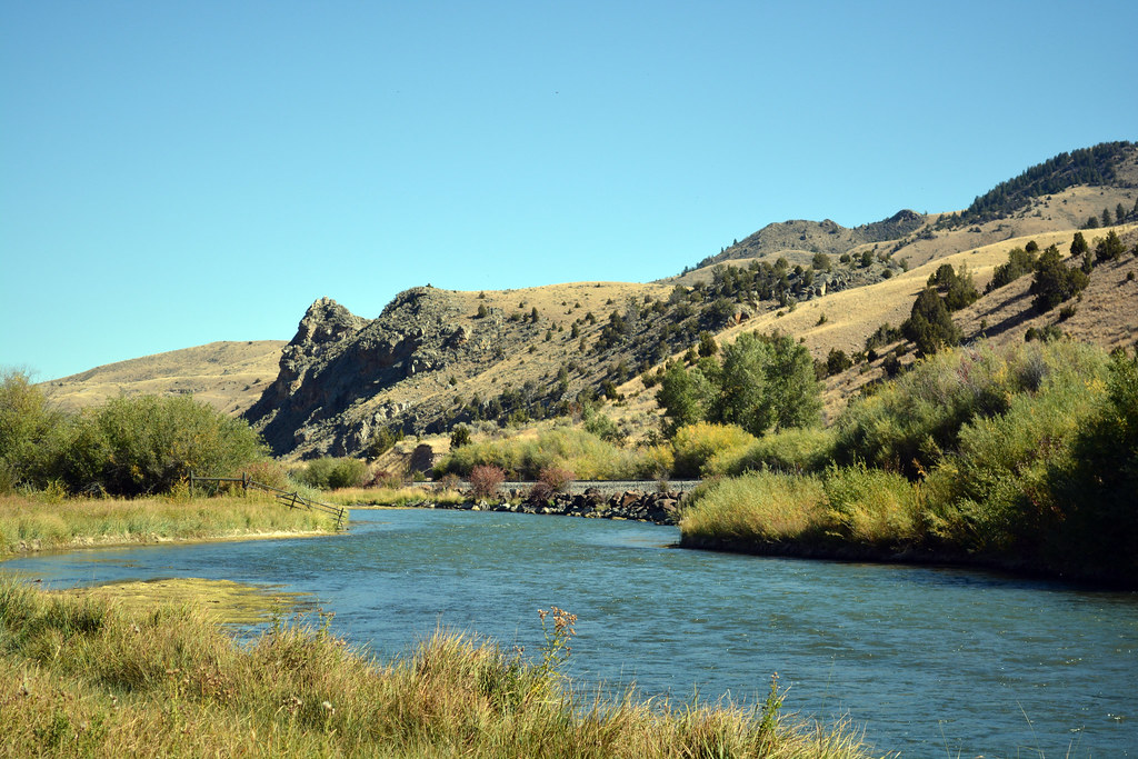
Beaverhead River
Whitetail Reservoir
Bison Creek
Explore Montana waters
Top paddling waters
Popular Cities
Loading popular cities...
Explore near Ruby River
Access points
Nearby waters
More in Montana

Smarter Paddling Starts in the App.
Paddleways gives you everything you need to plan smarter, paddle better, and own every trip from first launch to takeout.