Dearborn River
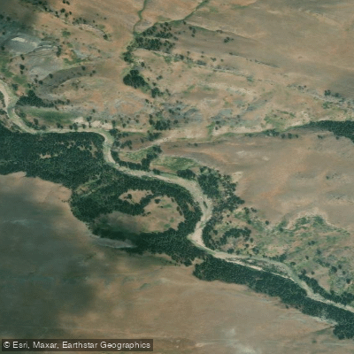
Dearborn River
- Boat Ramps
- 2
- Access Points
- 5
- Campsites
- 2
The Dearborn River, a scenic tributary of the Missouri River in central Montana, offers paddlers a diverse range of experiences as it flows from the Rocky Mountain Front to its confluence with the Missouri. This river is characterized by its striking canyon scenery, alternating between shallow riffles and deep pools, and winding through impressive rock formations.
The river can be divided into several distinct sections, each offering unique paddling opportunities. The upper reaches, including the challenging Devil's Glen area, feature more technical whitewater suitable for experienced paddlers. As the river emerges from the mountains, it transitions into a mix of Class II-III rapids interspersed with calmer stretches.
The most popular and accessible section is the lower 19-mile stretch from the Highway 287 bridge to the Missouri River confluence, known for its breathtaking scenery and moderate difficulty. Overall, the Dearborn River caters to a range of skill levels, from beginners on the calmer lower sections to advanced paddlers in the upper reaches.
The difficulty ranges from Class I-II in the middle sections to Class II-III in the lower canyon, with some Class III-V rapids in the uppermost stretches. The best time to paddle the Dearborn is typically from May through June, sometimes extending into early July when water levels are higher due to snowmelt. Late summer and fall often see lower water levels, making some sections less navigable.
The river corridor supports diverse wildlife, including brown trout in the lower sections and various bird species. Paddlers may spot deer and other mammals along the banks. The landscape transitions from mountainous terrain in the upper reaches to open country with occasional bluffs in the middle sections, before entering the dramatic canyon of the lower river.
Notable landmarks include the Dearborn Canyon, the Highway 287 bridge (a common put-in point), and the confluence with the Missouri River. The nearby towns of Augusta and Craig serve as good base camps for river trips.
Historically, the Dearborn River impressed Meriwether Lewis during his 1805 expedition, highlighting its significance in the exploration of the American West. Today, it remains a relatively undiscovered gem, with low fishing pressure due to limited access points.
Safety considerations include being prepared for remote stretches with limited cell phone coverage, especially in the upper sections. Paddlers should be aware of potential hazards such as strainers and rapids, particularly at higher water levels. It's advisable to check current flow rates and weather conditions before embarking on a trip.
For those seeking a multi-day adventure, combining the middle and lower sections can provide an extended trip of up to 48 miles. Camping options are limited due to private land ownership along much of the river, so careful planning is essential.
The Dearborn River offers a quintessential Montana paddling experience, combining stunning scenery, varied water conditions, and a sense of wilderness that makes it a cherished destination for river enthusiasts.
Water access, boat ramps & amenities
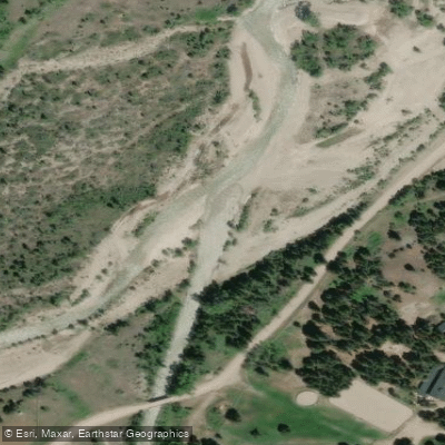
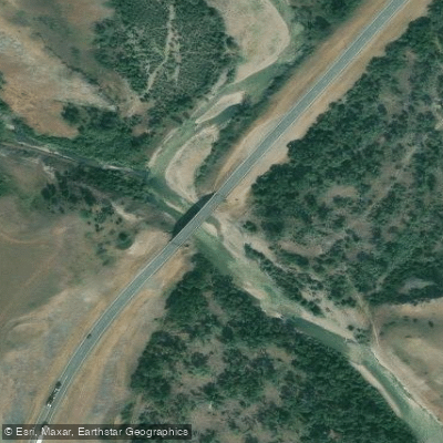
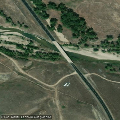
Learn how to get on Dearborn River. Uncover great paddling access points, boat ramps, and all the facilities you need for an unforgettable day on the water. Some locations shown may border or include private property. Always check property boundaries and applicable regulations before visiting. PaddleWays's Public & Private Land layer can help you plan your access with confidence.
Paddle smarter with real-time insights
Whether you're en route and conditions shift or you're looking for the best spot based on current flows, we enable you to make informed decisions on the fly.








Find Places to Paddle

Over 400,000 Places to Paddle
Every user gets free access to launch points, boat ramps, and public property parcels.


Water and weather conditions (10 day forecast)
See the best times to paddle Dearborn River and check the forecast before you go.
Dearborn River near Craig MT
Paddling near Dearborn River
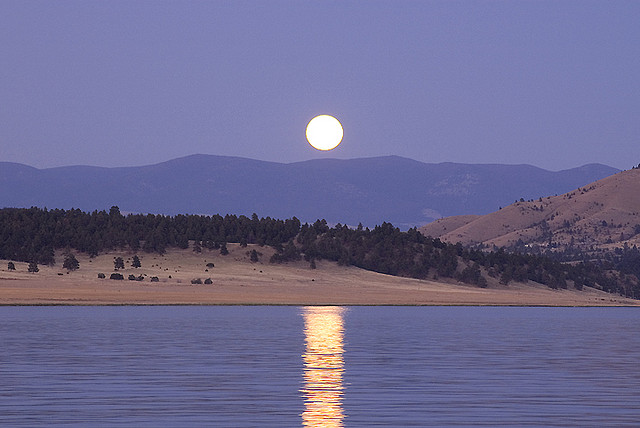
Hauser Lake

Missouri River
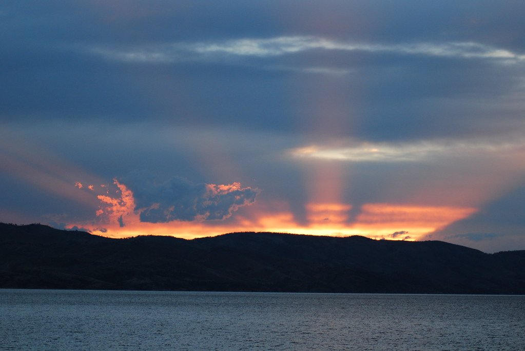
Canyon Ferry Lake
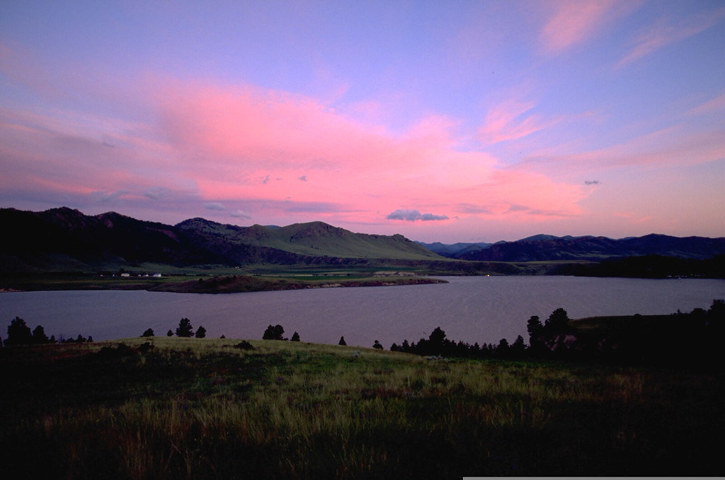
Holter Lake
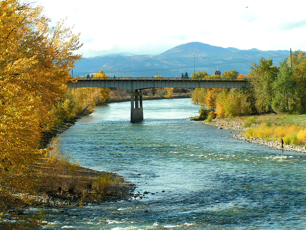
Clark Fork
Boulder River
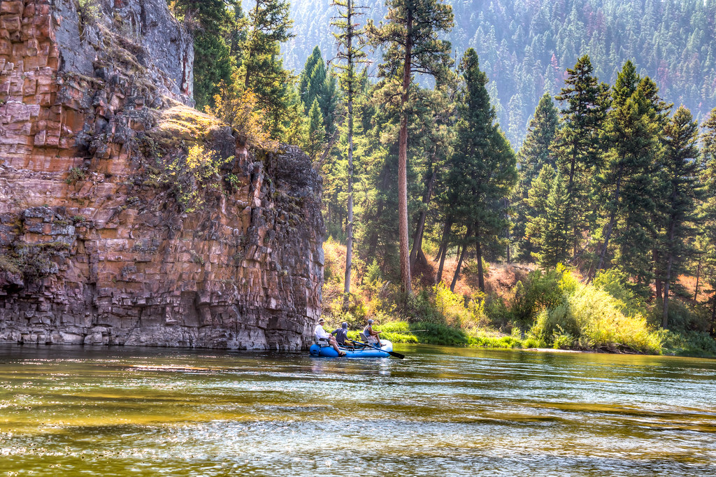
Blackfoot River
Smith River
Lake Helena
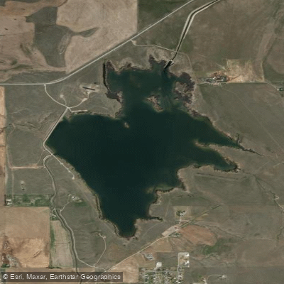
Helena Valley Regulating Reservoir
Explore Montana waters
Top paddling waters
Popular Cities
Loading popular cities...
Explore near Dearborn River
Access points
Nearby waters
More in Montana

Smarter Paddling Starts in the App.
Paddleways gives you everything you need to plan smarter, paddle better, and own every trip from first launch to takeout.