Marias River
Marias River
- Boat Ramps
- 4
- Access Points
- 6
- Campsites
- 12
The Marias River is a scenic and remote waterway in north-central Montana, flowing approximately 210 miles from its headwaters in the Rocky Mountains to its confluence with the Missouri River near Loma. The river originates at the confluence of Cut Bank Creek and Two Medicine River, flowing eastward across the Montana prairie. The Marias is divided into two main sections by Tiber Dam, which forms Lake Elwell.
The upper section from the headwaters to Tiber Dam is a slow-moving prairie river, best suited for canoes and kayaks, especially in mid to late summer when water levels drop. This stretch offers decent fishing for walleye, bass, catfish, and whitefish. The lower section, from Tiber Dam to the Missouri confluence, is the premier paddling route. This 78-mile stretch is a Class I float, characterized by a slow current, small sandstone cliffs, and thick cottonwood groves lining the banks. It's considered one of Montana's finest floatable streams, offering a remote and scenic multi-day paddling experience.
The river is best paddled from late spring through early fall, with May and June typically providing optimal water levels. Late summer can see very low flows, making navigation challenging in some areas. The Marias is suitable for canoes, kayaks, and small rafts, with minimal whitewater. Wildlife is abundant along the Marias, with excellent bird-watching opportunities. Paddlers may spot deer, elk, and various bird species including pelicans and raptors. The river corridor is home to cottonwood forests, sagebrush, and prairie grasses.
Key access points include the put-in below Tiber Dam and the take-out at Loma Bridge. The town of Shelby is the nearest major community to the upper river, while Fort Benton is closest to the lower section. The Marias River holds historical significance as part of the Lewis and Clark expedition route. The explorers spent time determining whether to follow this river or the Missouri in 1805, ultimately choosing the correct path up the Missouri.
Multi-day trips are popular on the lower Marias, with most paddlers taking 4-6 days to cover the 78 miles from Tiber Dam to Loma. Camping is available along the banks, though paddlers should be aware of private property boundaries. Safety considerations include the river's remoteness, with long stretches between access points. Paddlers should be prepared for self-rescue and bring adequate supplies. Cottonwood sweepers can pose hazards, especially during higher water.
The Marias River offers a quintessential Montana prairie river experience, combining scenic beauty, solitude, and a rich historical backdrop for those seeking a peaceful multi-day float through Big Sky Country.
Water access, boat ramps & amenities
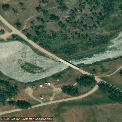
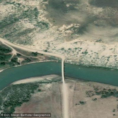
Learn how to get on Marias River. Uncover great paddling access points, boat ramps, and all the facilities you need for an unforgettable day on the water. Some locations shown may border or include private property. Always check property boundaries and applicable regulations before visiting. PaddleWays's Public & Private Land layer can help you plan your access with confidence.
Paddle smarter with real-time insights
Whether you're en route and conditions shift or you're looking for the best spot based on current flows, we enable you to make informed decisions on the fly.








Find Places to Paddle

Over 400,000 Places to Paddle
Every user gets free access to launch points, boat ramps, and public property parcels.


Water and weather conditions (10 day forecast)
See the best times to paddle Marias River and check the forecast before you go.
Marias River near Shelby MT
All Flow Stations
Paddling near Marias River

Missouri River
Sun River
Smith River
Belt Creek
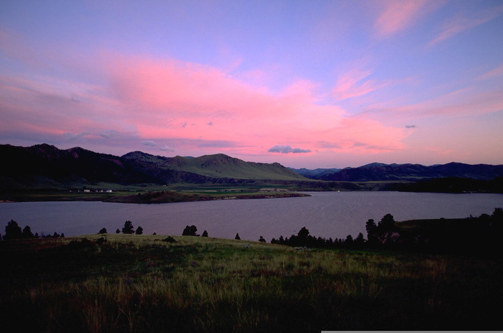
Holter Lake
Benton Lake
Little Muddy Creek
Dearborn River
Freezeout Lake
Explore Montana waters
Top paddling waters
Popular Cities
Loading popular cities...
Explore near Marias River
Access points
- Sanford Park Boat Ramp
- Pugsley Bridge Recreation Area Boat Ramp
- Moffat Bridge Recreation Area Boat Ramp
- Loma Bridge Boat Ramp
- Moffat Bridge Access
- Sullivan Bridge
- Marias River 006 Bridge
- Marias River 011 Bridge
- Marias River Bridge
- Marias River 030 Bridge
- Marias River Bridge
- Hwy 223 Bridge aka Circle Bridge
- All 34 spots
Nearby waters
More in Montana

Smarter Paddling Starts in the App.
Paddleways gives you everything you need to plan smarter, paddle better, and own every trip from first launch to takeout.