Little Muddy Creek
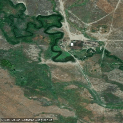
Little Muddy Creek
- Boat Ramps
- 0
- Access Points
- 2
- Campsites
- 0
Little Muddy Creek flows through Cascade County, Montana, originating in the uplands west of Interstate 15 between the towns of Cascade and Ulm. This intermittent stream travels eastward before emptying directly into the Missouri River, draining a modest watershed characterized by mixed grassland and agricultural terrain typical of central Montana's transition zone between mountains and plains. The creek's flow regime reflects Montana's continental climate, with peak flows occurring during spring snowmelt and following significant precipitation events. During much of the year, particularly late summer through fall, Little Muddy Creek may carry minimal water or run dry in certain reaches, a natural characteristic of many smaller drainages in this region. The stream channel extends approximately 2,700 feet in certain documented sections, with water depths and flow rates varying considerably by season.
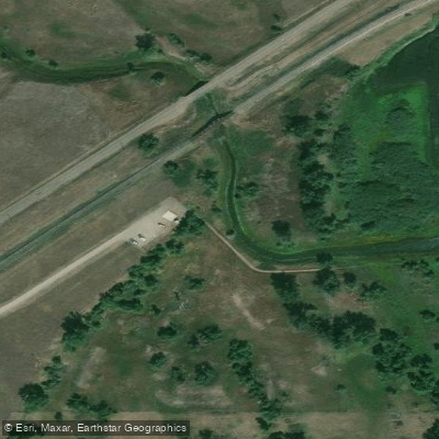
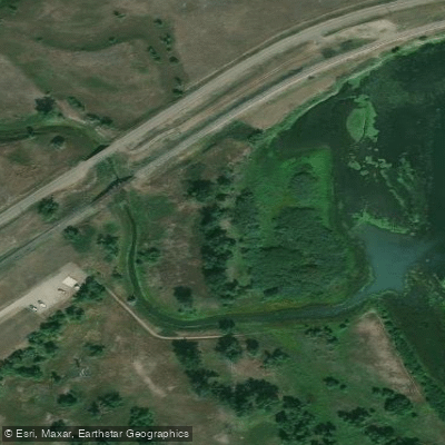
A notable feature along Little Muddy Creek is a wetland mitigation site constructed in 2004, located on private land approximately one mile west of Interstate 15. This 216-acre off-channel impoundment was developed through a collaborative effort involving Ducks Unlimited, private landowners, and the Montana Department of Transportation. The project created significant wetland habitat where none previously existed, transforming former cropland into productive marsh and open water environments. The site features an 88-foot diversion dam, an extensive berm system stretching 11,500 feet, and water control structures designed to capture spring flows while maintaining minimum downstream releases.
The wetland complex supports diverse wildlife populations, particularly migratory waterfowl and shorebirds. Documented species include American avocets, blue-winged teal, northern shovelers, Wilson's phalaropes, and numerous other waterbirds. The Trumpeter Swan, a species of conservation concern in Montana, has been observed utilizing the area. Vegetation communities within the wetland include cattail marshes, emergent wetlands dominated by foxtail barley and knotweed, and aquatic bed habitats, though plant composition varies with water levels and site management.
Access to Little Muddy Creek is primarily across private property, requiring landowner permission. The nearest communities are Cascade to the north and Ulm to the south, both providing basic services. Great Falls, the county seat and largest city in Cascade County, lies approximately 15 miles northeast and offers comprehensive amenities. The creek holds limited recreational paddling potential due to its intermittent nature, shallow depths, and private land status. Its primary significance lies in its ecological function within the Missouri River watershed and its role in regional wetland mitigation efforts supporting transportation infrastructure development throughout central Montana.
Water access, boat ramps & amenities
Learn how to get on Little Muddy Creek. Uncover great paddling access points, boat ramps, and all the facilities you need for an unforgettable day on the water. Some locations shown may border or include private property. Always check property boundaries and applicable regulations before visiting. PaddleWays's Public & Private Land layer can help you plan your access with confidence.
Paddle smarter with real-time insights
Whether you're en route and conditions shift or you're looking for the best spot based on current flows, we enable you to make informed decisions on the fly.








Find Places to Paddle

Over 400,000 Places to Paddle
Every user gets free access to launch points, boat ramps, and public property parcels.


Water and weather conditions (10 day forecast)
See the best times to paddle Little Muddy Creek and check the forecast before you go.
No forecast data available.
Paddling near Little Muddy Creek

Missouri River
Sun River
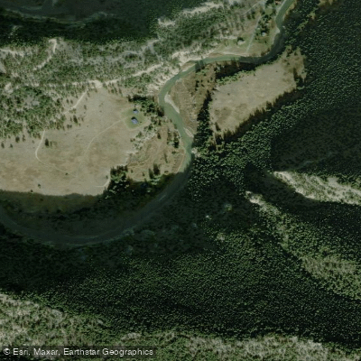
Smith River
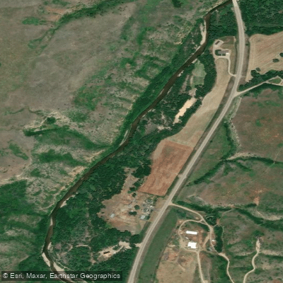
Belt Creek
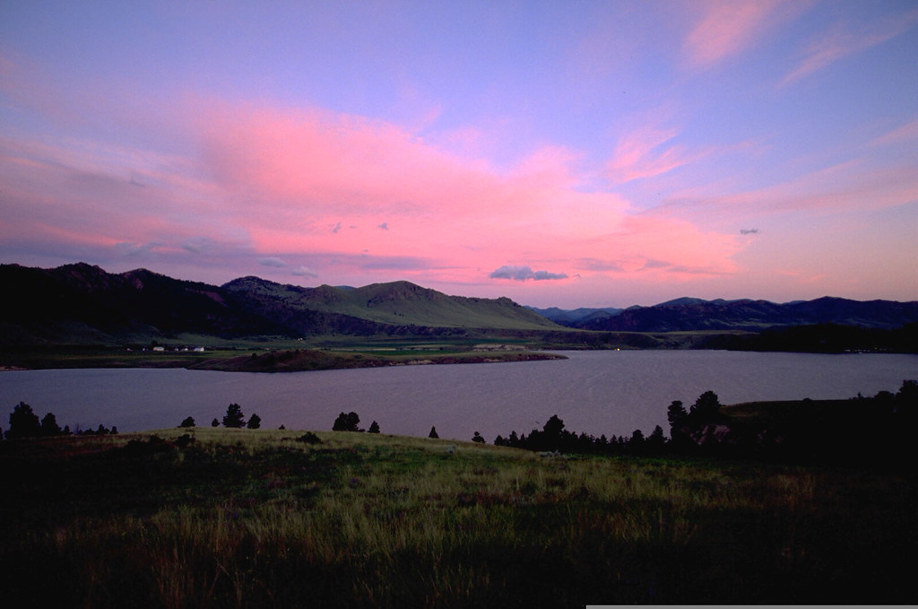
Holter Lake
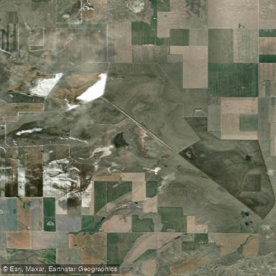
Benton Lake
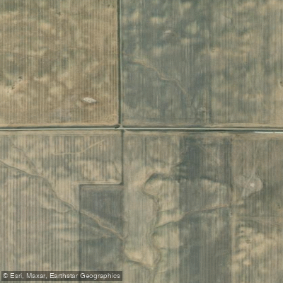
Marias River
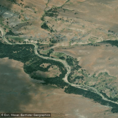
Dearborn River
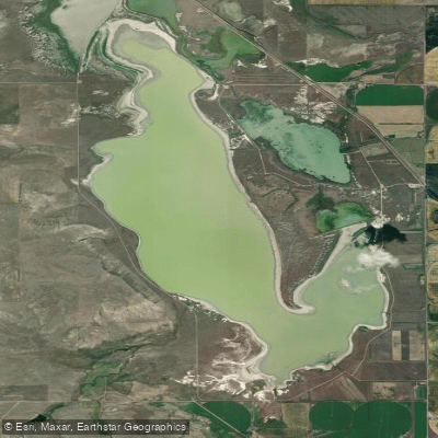
Freezeout Lake
Explore Montana waters
Top paddling waters
Popular Cities
Loading popular cities...
Explore near Little Muddy Creek
Access points
Nearby waters
More in Montana

Smarter Paddling Starts in the App.
Paddleways gives you everything you need to plan smarter, paddle better, and own every trip from first launch to takeout.