Lamar River
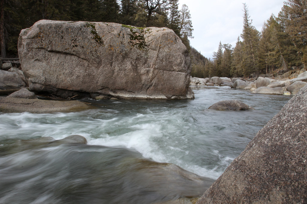
Lamar River
- Boat Ramps
- 0
- Access Points
- 5
- Campsites
- 55
The Lamar River is a significant tributary of the Yellowstone River, flowing entirely within Yellowstone National Park in northwestern Wyoming. Originating in the Absaroka Range, the river flows northwestward for approximately 40 miles (64 km) before joining the Yellowstone River. The Lamar River drains a watershed of about 668 square miles (1,730 km��), making it the largest tributary to the Yellowstone River within the park boundaries. While the Lamar River itself is not typically used for paddling, it is renowned for its scenic beauty and exceptional fly fishing opportunities.
The river flows through the expansive Lamar Valley, often called America's Serengeti due to its abundant wildlife. The primary way to experience the Lamar River is via the Lamar River Trail, a 33-mile (53 km) hiking path that follows the eastern bank of the river. This trail offers relatively easy hiking with minimal elevation change, making it suitable for day hikes and multi-day backpacking trips. The trail begins at the Soda Butte / Lamar River Trailhead and extends to Cold Creek.
The best time to visit the Lamar River area is from late spring through early fall, typically June through September, when the weather is most favorable and wildlife viewing opportunities are at their peak. Winter access is limited due to road closures and harsh conditions.
The Lamar Valley is famous for its diverse wildlife, including large herds of bison, elk, and pronghorn antelope. It's also one of the best places in Yellowstone to spot wolves and grizzly bears. The river and surrounding meadows support a rich ecosystem of plants and animals, including various wildflower species in spring and summer.
Key points of interest along the river include the historic Lamar Buffalo Ranch, established in 1907 to help preserve the American bison, and the Lamar Valley itself, known for its sweeping vistas and wildlife viewing opportunities.
Access to the Lamar River area is primarily via the Northeast Entrance Road in Yellowstone National Park. The nearest towns are Cooke City and Silver Gate, Montana, just outside the park's northeast entrance. Visitors should be aware of park regulations, including proper food storage and maintaining safe distances from wildlife (at least 100 yards from bears and wolves). The area is in prime grizzly bear habitat, so carrying bear spray and knowing how to use it is essential.
For those interested in multi-day trips, backcountry camping is available along the Lamar River Trail with proper permits from the National Park Service. These trips offer unparalleled opportunities to immerse oneself in the pristine wilderness and potentially observe wildlife away from the more crowded roadside areas.
Water access, boat ramps & amenities
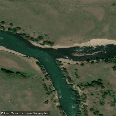
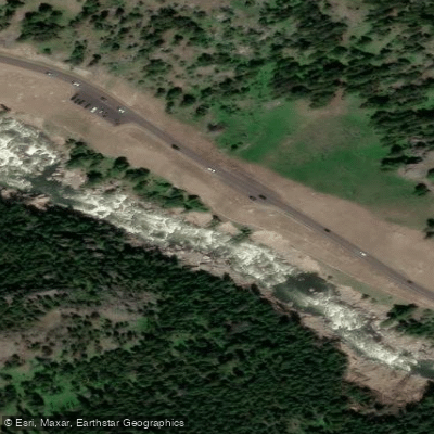
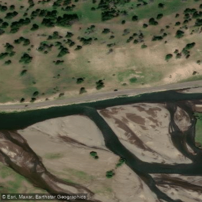
Learn how to get on Lamar River. Uncover great paddling access points, boat ramps, and all the facilities you need for an unforgettable day on the water. Some locations shown may border or include private property. Always check property boundaries and applicable regulations before visiting. PaddleWays's Public & Private Land layer can help you plan your access with confidence.
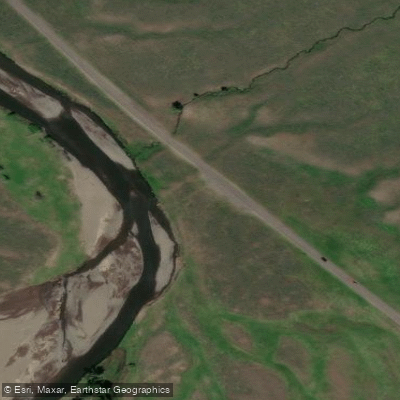
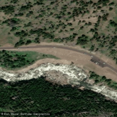
Paddle smarter with real-time insights
Whether you're en route and conditions shift or you're looking for the best spot based on current flows, we enable you to make informed decisions on the fly.








Find Places to Paddle

Over 400,000 Places to Paddle
Every user gets free access to launch points, boat ramps, and public property parcels.


Water and weather conditions (10 day forecast)
See the best times to paddle Lamar River and check the forecast before you go.
Lamar River nr Tower Ranger Station YNP
Paddling near Lamar River
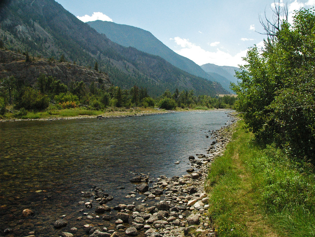
Stillwater River
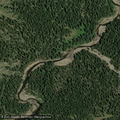
Soda Butte Creek
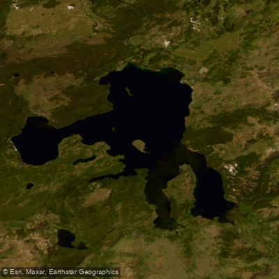
Yellowstone Lake

Boulder River
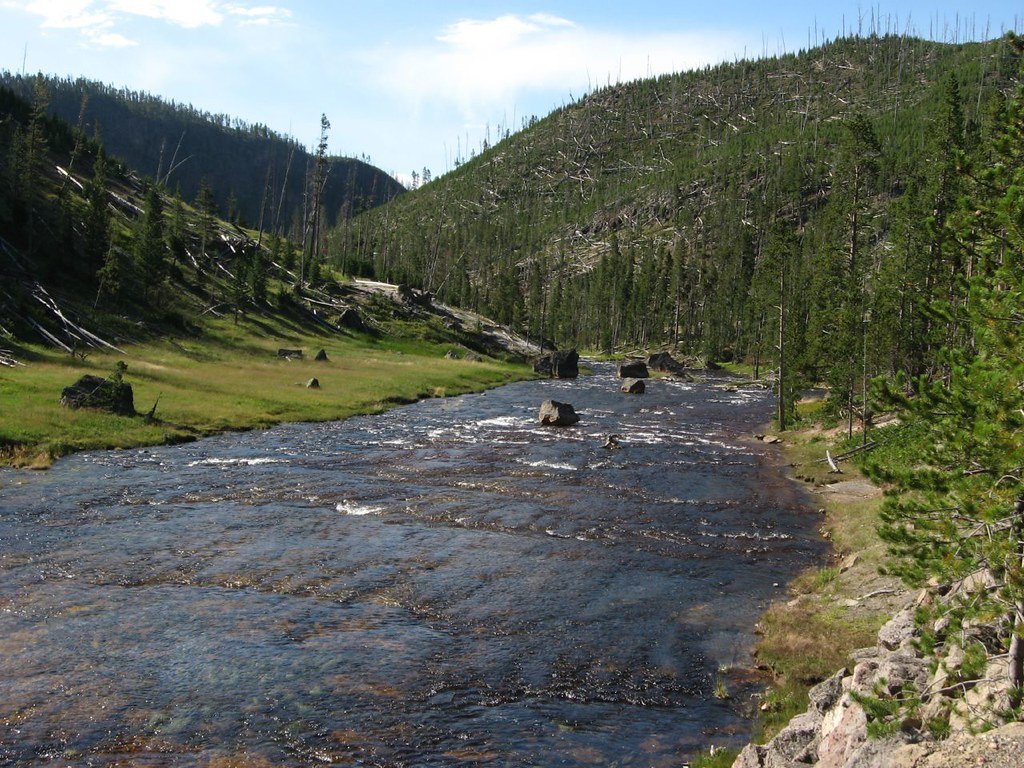
Gibbon River
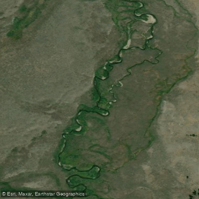
Gardner River
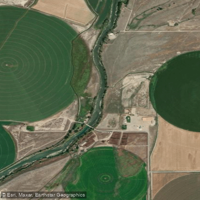
Clarks Fork Yellowstone River
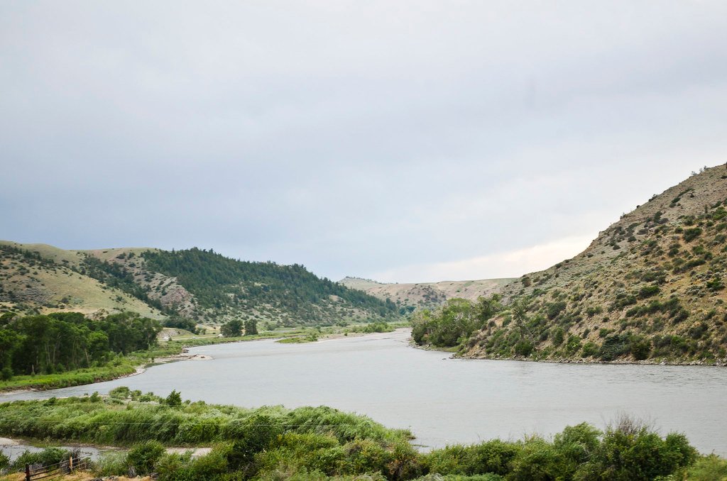
Yellowstone River
Rock Creek
Explore Wyoming waters
Top paddling waters
Popular Cities
Loading popular cities...
Explore near Lamar River
Access points
- Lamar River Fishing Access Site
- NE Entrance Road Fishing Access Site
- Soda Butte Creek Fishing Access Site
- NE Entrance Road Fishing Access Site
- NE Entrance Road Fishing Access Site
- Yellowstone National Park Campground
- Middle Lamar Stock Campground
- Lower Lamar Bench Campground
- Yellowstone National Park Campground
- Yellowstone National Park Campground
- Willow Creek Campground
- Middle Lamar Campground
- All 60 spots
Nearby waters
More in Wyoming

Smarter Paddling Starts in the App.
Paddleways gives you everything you need to plan smarter, paddle better, and own every trip from first launch to takeout.