Gibbon River
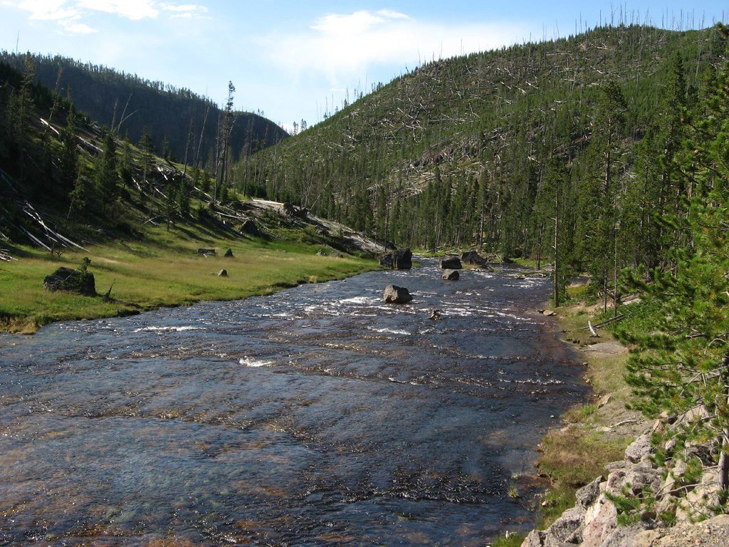
Gibbon River
- Boat Ramps
- 0
- Access Points
- 17
- Campsites
- 25
The Gibbon River is a scenic waterway located entirely within Yellowstone National Park in northwestern Wyoming. Originating at Grebe Lake near the center of the park, the river flows southwest for approximately 25 miles before joining the Firehole River to form the Madison River. The Gibbon River passes through diverse terrain, including meadows, canyons, and thermal areas. Its upper reaches flow past Wolf Lake and Ice Lake before entering Gibbon Meadows. The river then descends through Gibbon Canyon, plunging over the 84-foot Gibbon Falls before reaching its confluence with the Firehole River at Madison Junction.
While primarily known for fly fishing, the Gibbon River offers limited paddling opportunities. The upper section from Grebe Lake to Norris-Canyon Road is mostly Class I-II water, suitable for beginner to intermediate paddlers. The lower canyon section below Gibbon Falls presents more challenging Class II rapids, requiring some whitewater experience. The river's flow peaks in late spring with snowmelt and remains relatively stable through summer and fall. Late June through September typically offers the best conditions for both fishing and paddling. Winter access is limited due to park road closures.
The Gibbon River ecosystem supports a variety of wildlife, including elk, bison, and waterfowl. Its waters are home to brown trout, rainbow trout, brook trout, and Arctic grayling in the upper reaches. The river corridor features lodgepole pine forests, willow thickets, and thermal features like Beryl Spring. Key points of interest include Gibbon Falls, Artist Paintpots, Monument Geyser Basin, and Gibbon Geyser Basin.
Primary access points are along the Grand Loop Road, with the towns of West Yellowstone and Gardiner serving as gateways to the park. Named after Colonel John Gibbon, who participated in the 1872 Hayden Geological Survey of Yellowstone, the river holds historical significance in the park's exploration and establishment. Today, it plays a crucial role in Yellowstone's ecosystem and recreational offerings.
Anglers and paddlers must adhere to Yellowstone National Park regulations, including obtaining proper permits and following catch-and-release practices in many areas. The river's thermal features and wildlife necessitate caution and respect for natural hazards. While multi-day paddling trips are not common on the Gibbon itself, the river can be incorporated into longer Yellowstone backcountry excursions combining hiking and fishing. Its relatively short length makes it ideal for day trips and as part of a broader Yellowstone adventure.
Water access, boat ramps & amenities
Learn how to get on Gibbon River. Uncover great paddling access points, boat ramps, and all the facilities you need for an unforgettable day on the water. Some locations shown may border or include private property. Always check property boundaries and applicable regulations before visiting. PaddleWays's Public & Private Land layer can help you plan your access with confidence.
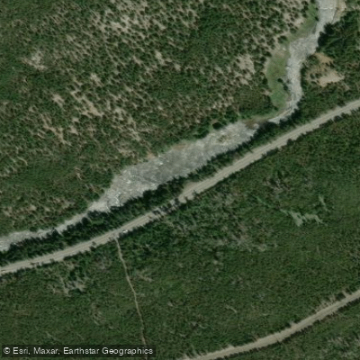
Grand Loop Road Access
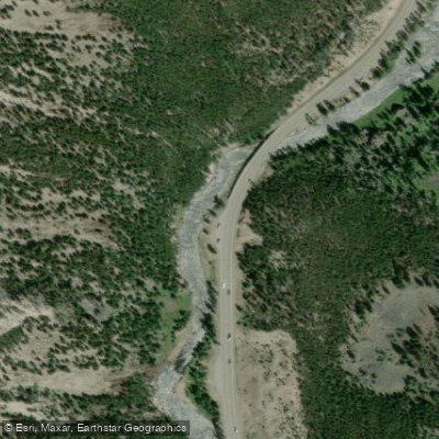
Grand Loop Road Access
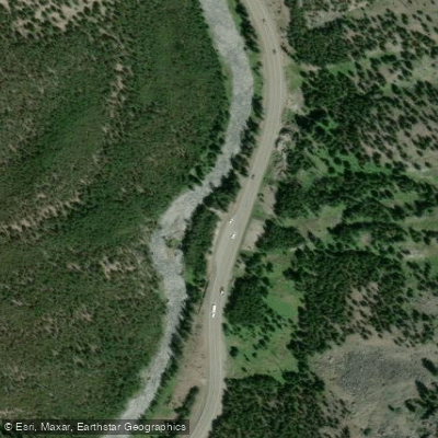
Grand Loop Road Access
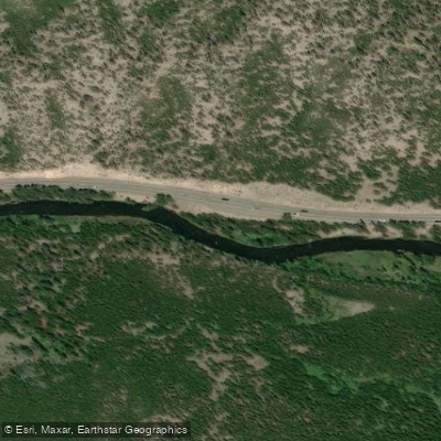
Grand Loop Road Access
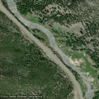
Grand Loop Road Access
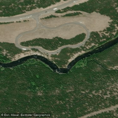
Gibbon Picnic Area Access
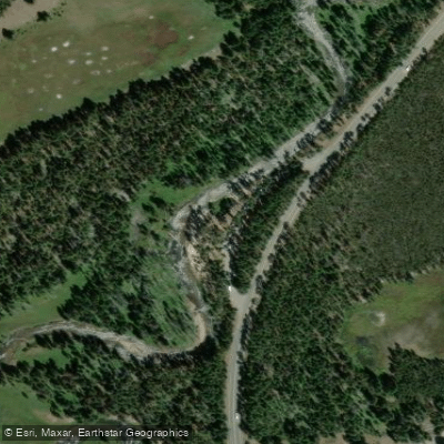
Gibbon Meadows Access
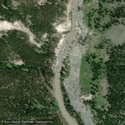
Grand Loop Road Access
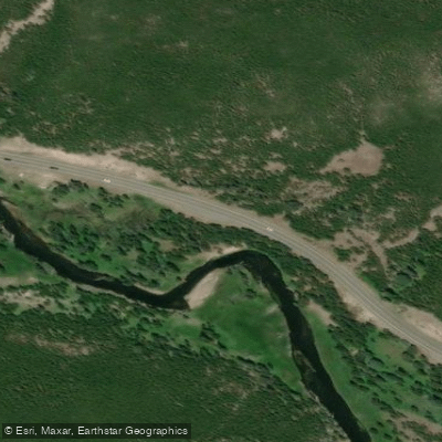
Grand Loop Road Access
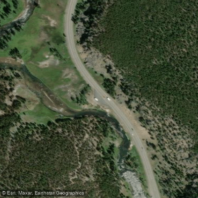
Grand Loop Road Access
Paddle smarter with real-time insights
Whether you're en route and conditions shift or you're looking for the best spot based on current flows, we enable you to make informed decisions on the fly.








Find Places to Paddle

Over 400,000 Places to Paddle
Every user gets free access to launch points, boat ramps, and public property parcels.


Water and weather conditions (10 day forecast)
See the best times to paddle Gibbon River and check the forecast before you go.
Tantalus Creek at Norris Junction, YNP
All Flow Stations
Paddling near Gibbon River
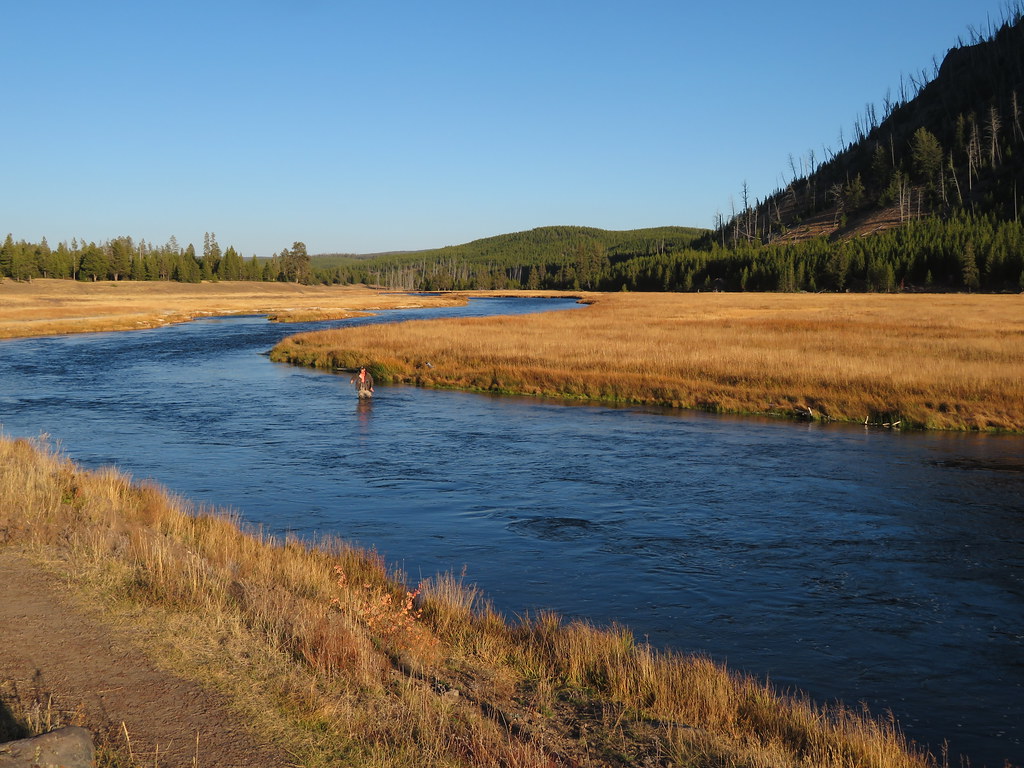
Madison River
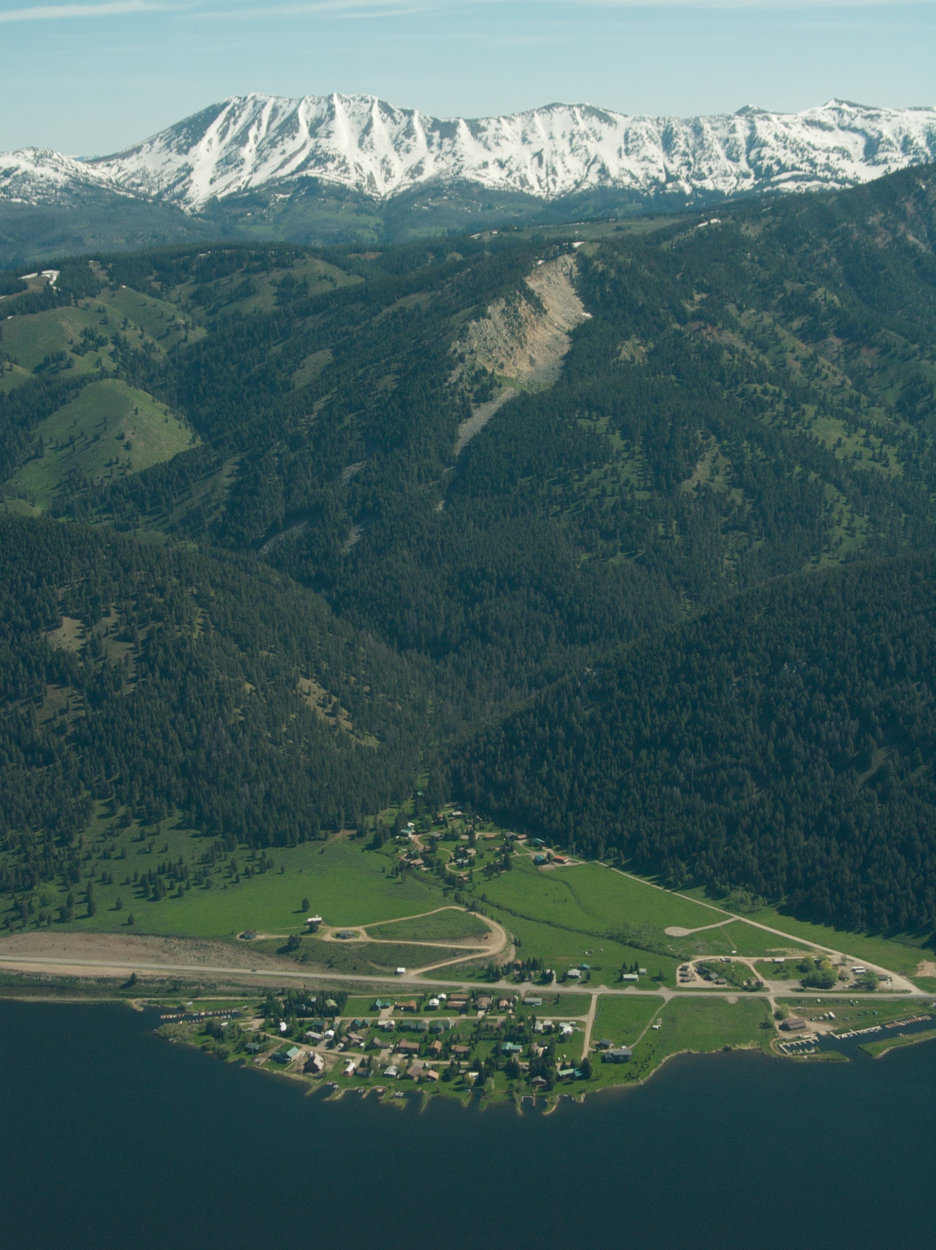
Hebgen Lake
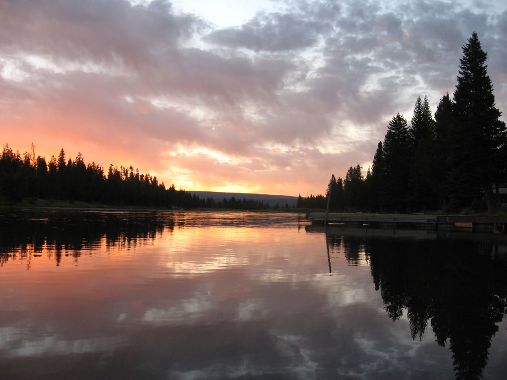
Henrys Fork Snake River
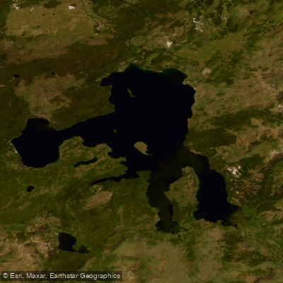
Yellowstone Lake
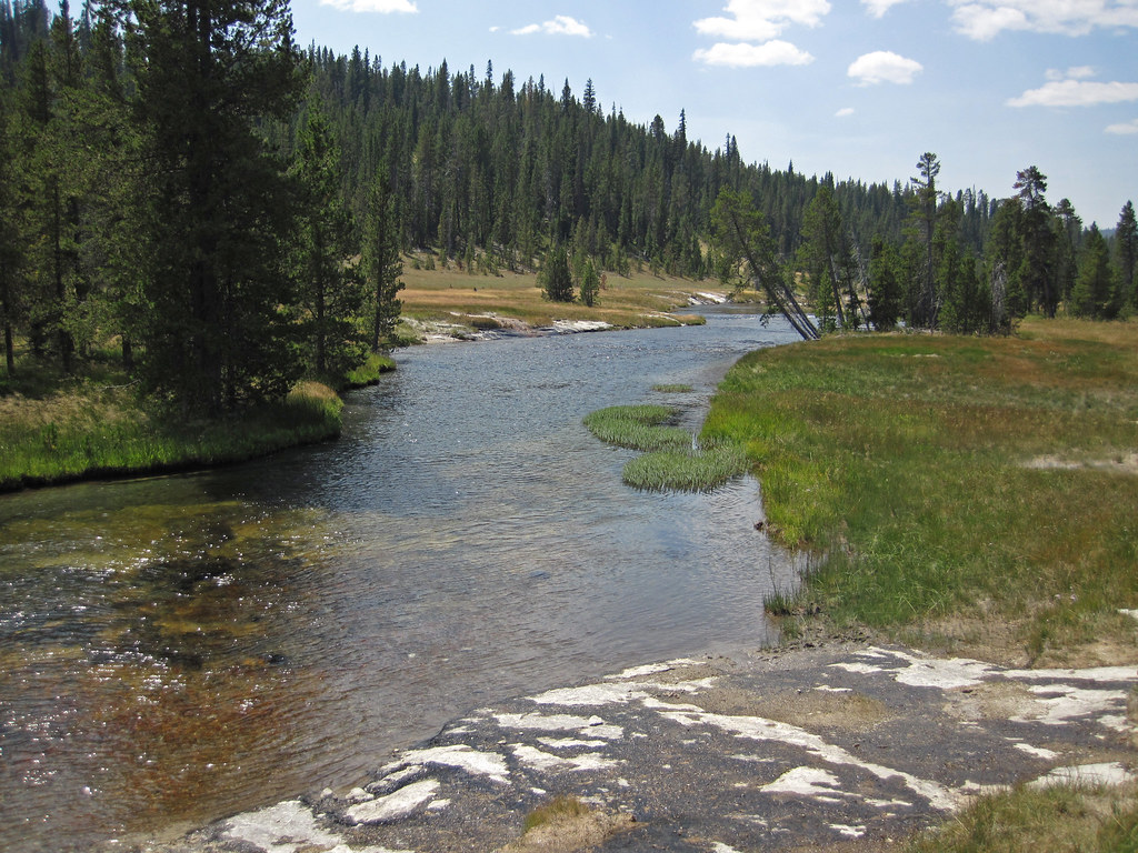
Firehole River
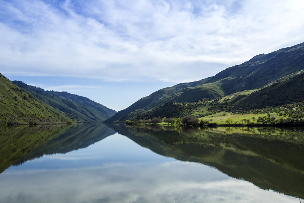
Snake River
Gardner River
Shoshone Lake
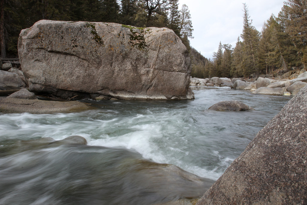
Lamar River
Explore Wyoming waters
Top paddling waters
Popular Cities
Loading popular cities...
Explore near Gibbon River
Access points
Nearby waters
More in Wyoming

Smarter Paddling Starts in the App.
Paddleways gives you everything you need to plan smarter, paddle better, and own every trip from first launch to takeout.