Whitefish River
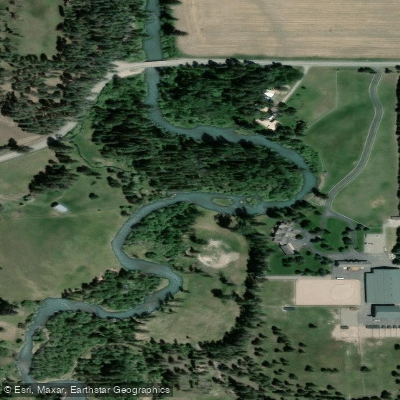
Whitefish River
- Boat Ramps
- 1
- Access Points
- 1
- Campsites
- 1
The Whitefish River originates as the outlet of Whitefish Lake in northwestern Montana, flowing through the town of Whitefish before continuing downstream to its confluence with the Stillwater River, which eventually feeds into the Flathead River system. This gentle waterway offers approximately 15 miles of paddling opportunities from its source at Whitefish Lake to the Highway 40 bridge, making it one of the region's most accessible and family-friendly flatwater destinations.
The river's defining characteristic is its remarkably calm current, mellow enough to allow paddlers to comfortably travel both upstream and downstream. This unique feature has made the upstream paddle from Riverside Park in downtown Whitefish to City Beach on Whitefish Lake particularly popular among kayakers, canoeists, and stand-up paddleboarders. The entire stretch is designated non-motorized, ensuring a peaceful experience punctuated only by the sounds of flowing water and wildlife.
Paddling difficulty remains consistently easy throughout all sections, suitable for beginners and families with children. No whitewater skills are required, and the gentle flow allows for leisurely exploration at any pace. The river remains open for paddling year-round from Whitefish Lake to the Highway 40 bridge, though summer and early fall provide the most pleasant conditions for extended trips.
The waterway flows through a partly shaded, wooded corridor that passes beneath several pedestrian footbridges and the historic Burlington Northern Railway trestle. Wildlife sightings are common, with whitetail deer frequently spotted along the banks and various waterfowl species inhabiting the river throughout the year. Anglers will find northern pike and occasional cutthroat trout in these waters, with fishing permitted year-round in the designated section.
Primary access points include City Beach on Edgewood Drive and Riverside Park on Baker Avenue, both located within the town of Whitefish. Additional informal access points exist along the bike path that parallels much of the river, facilitating varied trip lengths and easy shuttle arrangements. A parallel trail system makes the river ideal for tubing as well, with cyclists able to follow along the shoreline.
Safety regulations require lifejackets on board all watercraft. Paddlers should be aware of aquatic invasive species prevention protocols, particularly when launching from Whitefish Lake. The river's urban setting through downtown Whitefish provides convenient access to services, gear shops, and dining options, while still offering an intimate connection with Montana's natural landscape. The combination of accessibility, gentle conditions, and proximity to Glacier National Park makes this waterway an excellent introduction to paddling in northwest Montana.
Water access, boat ramps & amenities
Learn how to get on Whitefish River. Uncover great paddling access points, boat ramps, and all the facilities you need for an unforgettable day on the water. Some locations shown may border or include private property. Always check property boundaries and applicable regulations before visiting. PaddleWays's Public & Private Land layer can help you plan your access with confidence.
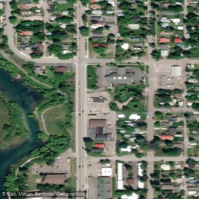
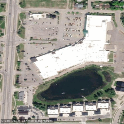
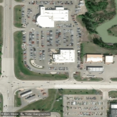
Paddle smarter with real-time insights
Whether you're en route and conditions shift or you're looking for the best spot based on current flows, we enable you to make informed decisions on the fly.








Find Places to Paddle

Over 400,000 Places to Paddle
Every user gets free access to launch points, boat ramps, and public property parcels.


Water and weather conditions (10 day forecast)
See the best times to paddle Whitefish River and check the forecast before you go.
Whitefish River near Kalispell MT
Paddling near Whitefish River
Flathead River
Flathead Lake
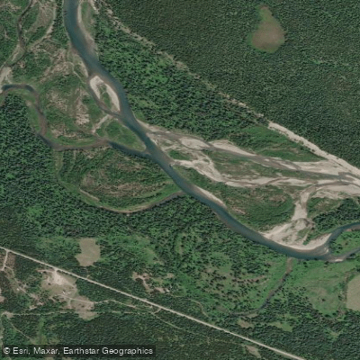
North Fork Flathead River
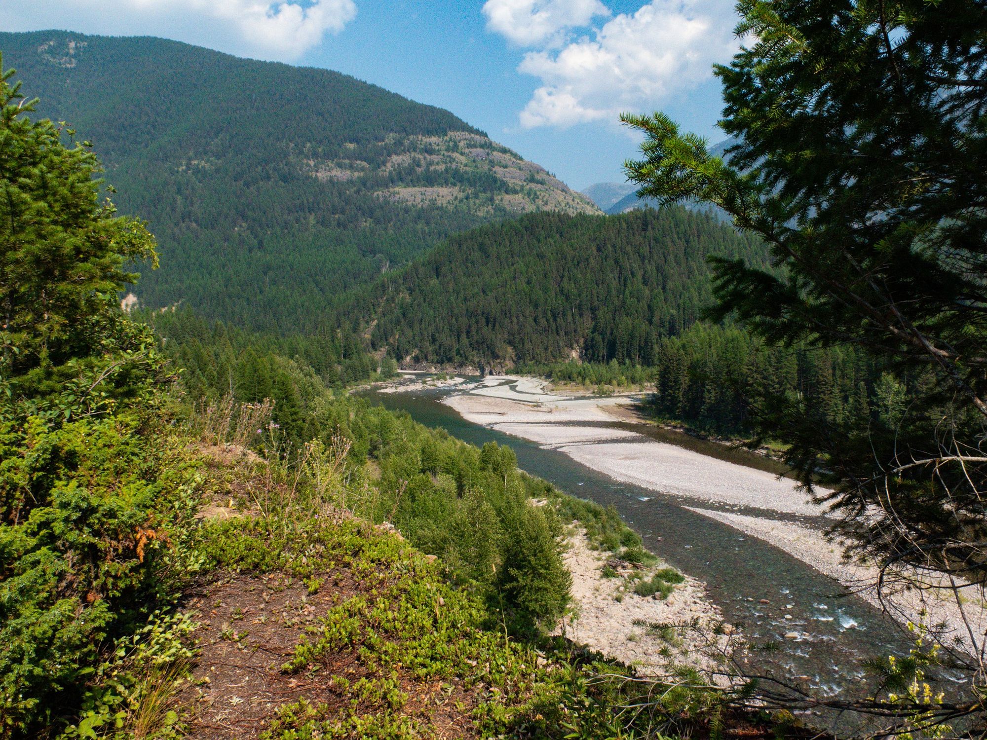
Middle Fork Flathead River
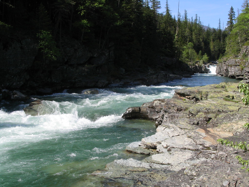
McDonald Creek
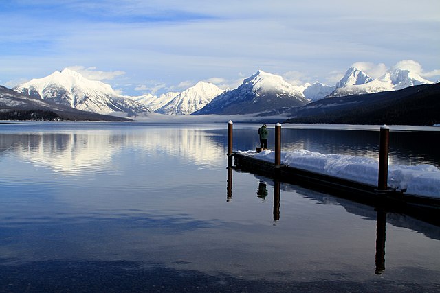
Lake McDonald
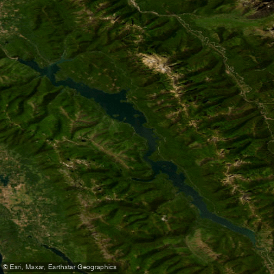
Hungry Horse Reservoir
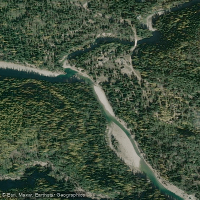
South Fork Flathead River
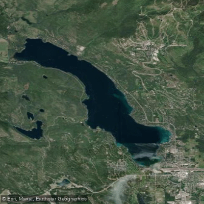
Whitefish Lake
Explore Montana waters
Top paddling waters
Popular Cities
Loading popular cities...
Explore near Whitefish River
Access points
- Roadhouse Landing Boat Ramp
- Whitefish River Bridge
- Whitefish River 154 Bridge
- Whitefish River 109 Bridge
- Whitefish River Bridge
- Whitefish River 165 Bridge
- Whitefish River 113 Bridge
- Whitefish River 169 Bridge
- Whitefish River 091 Bridge
- Whitefish River 090 Bridge
- Whitefish River Bridge
- Whitefish River Bridge
- All 42 spots
Nearby waters
More in Montana

Smarter Paddling Starts in the App.
Paddleways gives you everything you need to plan smarter, paddle better, and own every trip from first launch to takeout.