Curated by PaddleWays
RouteFlatwater
- Distance
- 15.4 mi
- Paddle time
- ~5 hrs
- Put-in → take-out
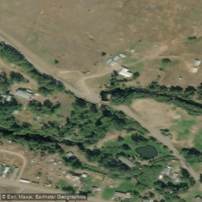
- Elliston Bridge Hand Launch → Little Blackfoot Access
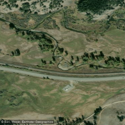
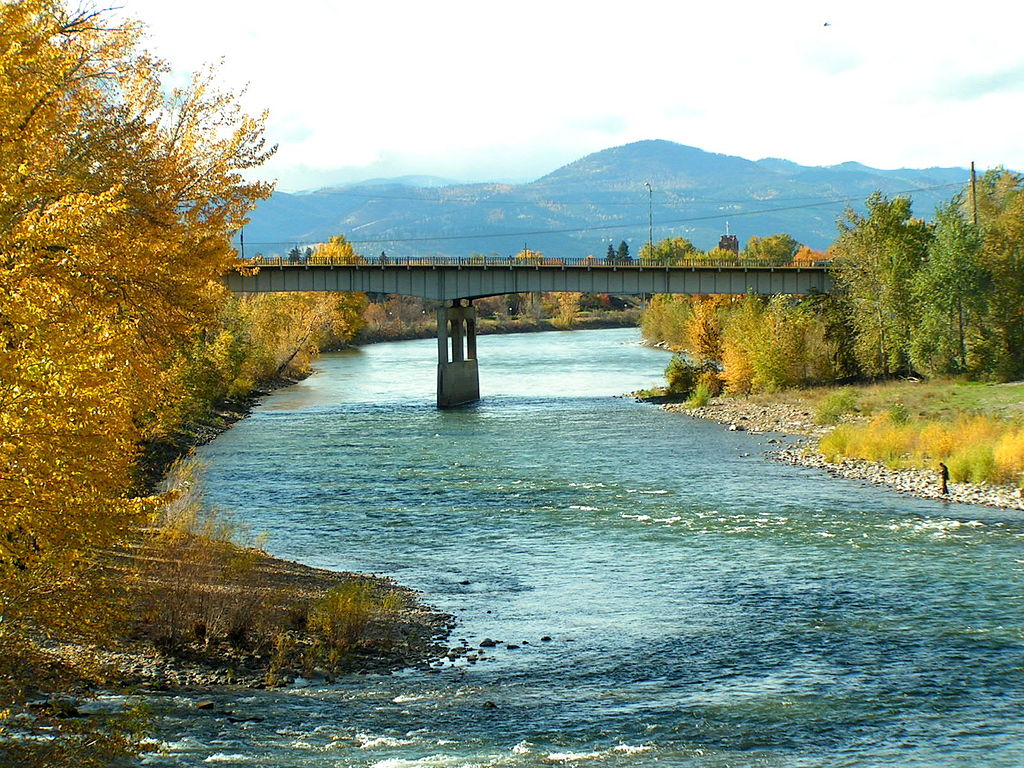
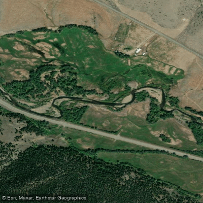
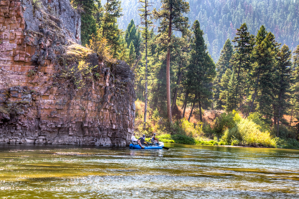
The Little Blackfoot River is a small but picturesque stream located in southwest Montana. Originating in the Beaverhead-Deerlodge National Forest, it flows northeast for approximately 40 miles before joining the Clark Fork River near Garrison. Despite its name, the Little Blackfoot is more akin to a spring creek than a typical Montana river, characterized by its narrow, shallow waters. This intimate waterway offers excellent fly fishing opportunities but limited paddling options due to its small size.
The most accessible section runs from the town of Elliston downstream to the Little Blackfoot River Fishing Access Site (FAS), covering roughly 5-10 miles. This stretch is primarily flatwater, suitable for fishing but not float fishing or whitewater recreation. The river's difficulty is generally low, making it ideal for anglers of all skill levels. However, its shallow nature and potential for snags require careful navigation even in small watercraft. The Little Blackfoot is best experienced on foot, wading and bank fishing along its course.
Seasonal patterns greatly influence the river's character. Winter months see the stream open for catch-and-release trout fishing. As spring arrives, usually in April, the first caddis hatches emerge, ushering in productive dry fly fishing until the onset of spring runoff. Summer brings lower water levels, while fall offers beautiful scenery and continued fishing opportunities.
The riparian ecosystem supports a variety of wildlife, including deer, elk, and various bird species. The river itself is home to populations of rainbow, brown, and cutthroat trout, making it a favorite among local anglers.
Key access points include the town of Elliston, which serves as a common put-in, and the Little Blackfoot River FAS downstream. The nearby city of Helena, about 35 miles to the east, provides additional amenities for visitors.
Historically, the Little Blackfoot valley was traversed by Native American tribes and later played a role in early Montana mining and settlement. Today, it represents a quieter alternative to some of Montana's more famous and crowded fishing destinations.
Safety considerations include being aware of changing weather conditions, especially during spring runoff, and respecting private property along the riverbanks. Anglers should familiarize themselves with local fishing regulations, which may change seasonally.
While multi-day trips are not common on the Little Blackfoot itself, the river can be incorporated into longer Montana fishing itineraries, perhaps combined with exploration of the nearby Clark Fork or other regional waterways.
Curated routes
Hand-picked by the PaddleWays team, with put-ins, take-outs, paddle times and the hazards along the way.
RouteFlatwater
Hazards
No hazards are marked on Little Blackfoot River yet. That is not the same as none being there: if you find one, report it for the next paddler.
From the community
Nobody has shared a trip on Little Blackfoot River yet. Paddle it, then tell the next paddler how it went.
See exactly where the public can get on and off the river. Launch points and boat ramps are paired with PaddleWays' public land data so you know where you can legally land.
Public shoreline
26%of the river's shoreline is public
Most of the riverbank is private. Launch, land and camp only at public access points.
Flows, weather and a route-by-route verdict, so you know which stretch of the Little Blackfoot River is worth paddling today.
Live flows, marked hazards and fresh trip reports from paddlers who were just on the water, all in one place.





Every user gets free access to launch points, boat ramps, and public property parcels.
Loading popular cities...
PaddleWays gives you everything you need to plan smarter, paddle better, and own every trip from first launch to takeout.