Logging Creek
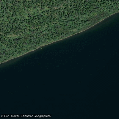
Logging Creek
- Boat Ramps
- 1
- Access Points
- 1
- Campsites
- 8
Logging Creek originates in the remote northwestern reaches of Glacier National Park, flowing southward through pristine wilderness before emptying into the North Fork of the Flathead River. This backcountry waterway drains a rugged watershed characterized by dense coniferous forests, glacially-carved valleys, and the towering peaks of the Livingston Range to the east. The creek passes through Logging Lake, a 7.9-kilometer-long glacial lake situated at 1,161 meters elevation, before continuing downstream through increasingly remote terrain.
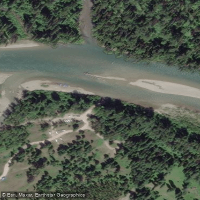
Access to Logging Creek requires commitment. The Inside North Fork Road, a rough gravel route extending 42 miles from near Apgar Village to Kintla Lake, provides the only vehicular approach. Logging Creek Campground, located approximately 18 miles north of Polebridge, serves as the primary access point with seven primitive campsites. The Logging Lake Trail follows the creek's upper reaches, offering backpackers a gateway into Glacier's northern wilderness toward destinations like Grace Lake and the Continental Divide.
The watershed supports a native fish assemblage that includes bull trout, westslope cutthroat trout, and mountain whitefish. Bull trout utilize Logging Creek as critical spawning habitat, with annual redd surveys documenting spawning activity in accessible reaches upstream of Logging Lake. All native fish species are catch-and-release only under park regulations, reflecting conservation priorities for these threatened populations. The creek's cold, clear waters maintain temperatures suitable for salmonids even during summer months.
Wildlife encounters are common in this isolated drainage. Grizzly bears frequent the riparian corridors, particularly during berry season and fish spawning periods. Moose utilize wetland areas along the creek, while elk and deer traverse the valley bottom. The surrounding forests of lodgepole pine, Douglas-fir, and Engelmann spruce provide habitat for wolves, mountain lions, and numerous bird species.
Logging Creek's flow regime follows typical snowmelt patterns, with peak flows occurring from late May through early July. By late summer, water levels drop considerably, exposing cobble and boulder substrates. Winter access is essentially impossible due to deep snow and lack of maintained routes. The creek's name reflects early 20th-century logging operations that occurred before the area's inclusion in Glacier National Park.
A natural barrier waterfall approximately 1.1 kilometers upstream of Logging Lake isolates Grace Lake and its headwater tributaries, creating distinct upstream and downstream fish populations. This barrier has become strategically important for native fish conservation, preventing upstream colonization by invasive lake trout that have established in Logging Lake since 1984.
Visitors should prepare for complete self-sufficiency, bear-aware camping practices, and wilderness travel skills. No motorized boats are permitted on Logging Lake, and all backcountry use requires appropriate permits from park authorities.
Water access, boat ramps & amenities
Learn how to get on Logging Creek. Uncover great paddling access points, boat ramps, and all the facilities you need for an unforgettable day on the water. Some locations shown may border or include private property. Always check property boundaries and applicable regulations before visiting. PaddleWays's Public & Private Land layer can help you plan your access with confidence.
Paddle smarter with real-time insights
Whether you're en route and conditions shift or you're looking for the best spot based on current flows, we enable you to make informed decisions on the fly.








Find Places to Paddle

Over 400,000 Places to Paddle
Every user gets free access to launch points, boat ramps, and public property parcels.


Water and weather conditions (10 day forecast)
See the best times to paddle Logging Creek and check the forecast before you go.
No forecast data available.
Paddling near Logging Creek
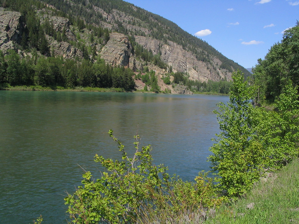
Flathead River
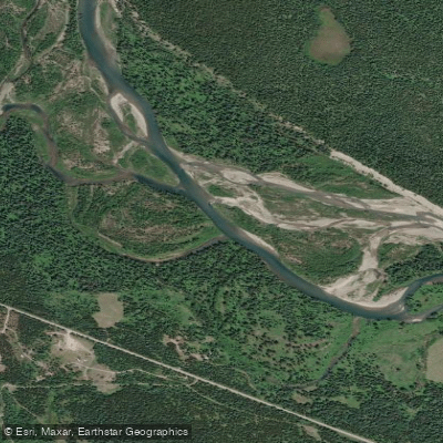
North Fork Flathead River
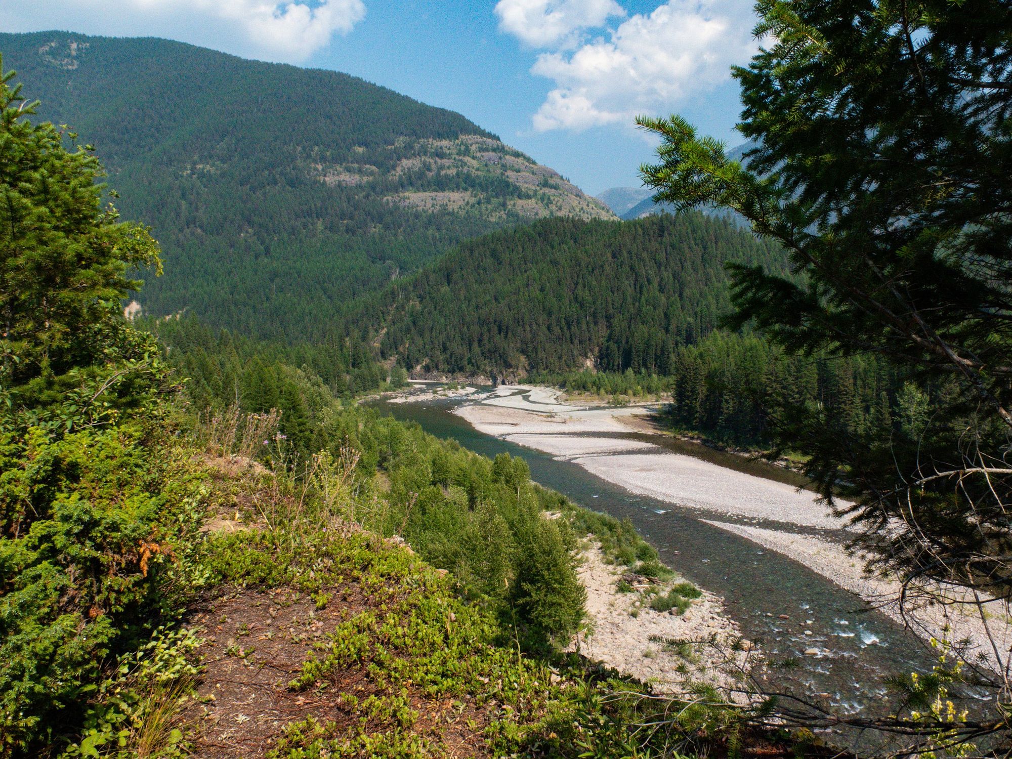
Middle Fork Flathead River
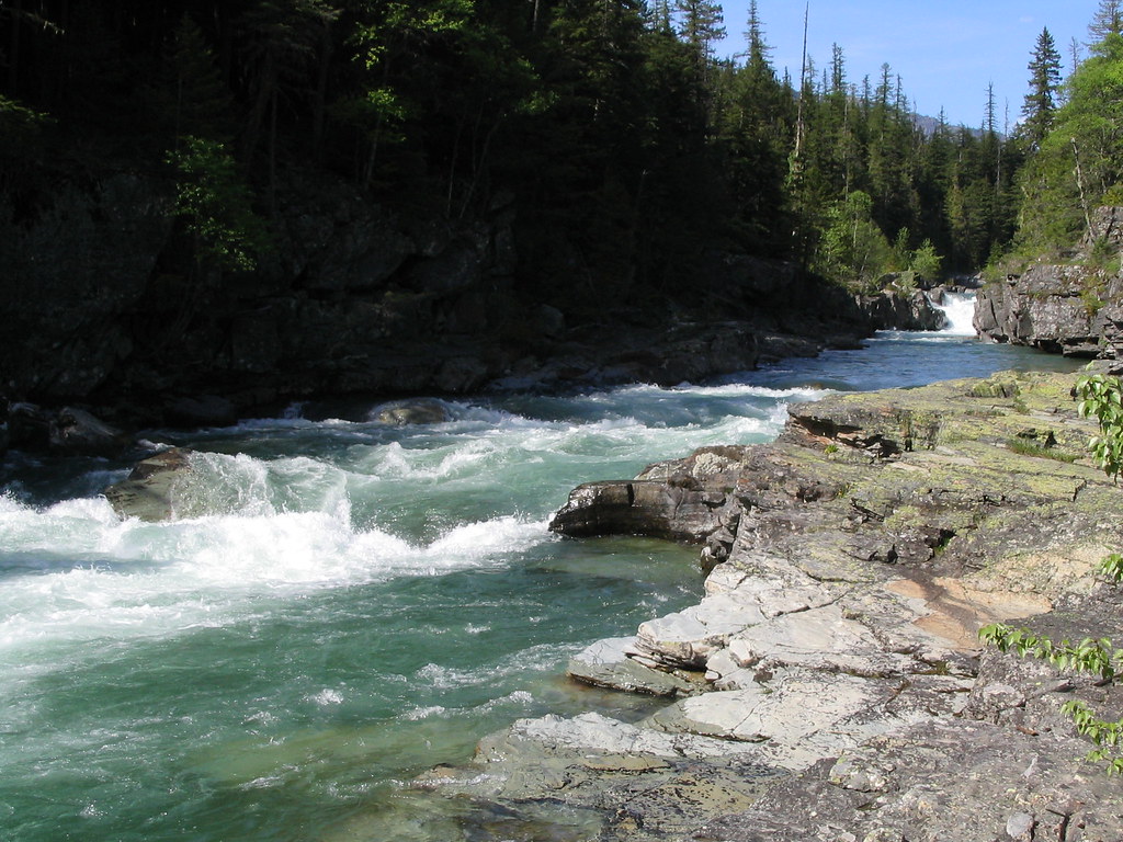
McDonald Creek
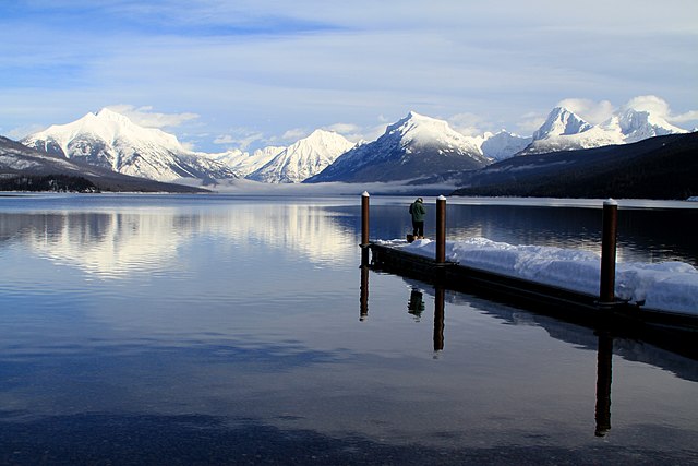
Lake McDonald
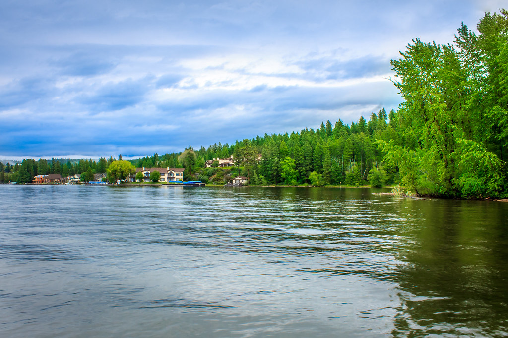
Flathead Lake
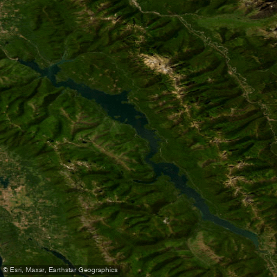
Hungry Horse Reservoir
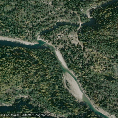
South Fork Flathead River
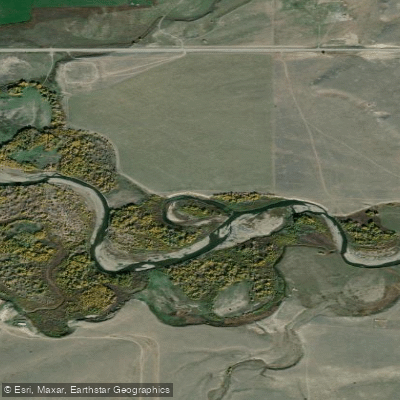
Two Medicine River
Explore Montana waters
Top paddling waters
Popular Cities
Loading popular cities...
Explore near Logging Creek
Access points
Nearby waters
More in Montana

Smarter Paddling Starts in the App.
Paddleways gives you everything you need to plan smarter, paddle better, and own every trip from first launch to takeout.