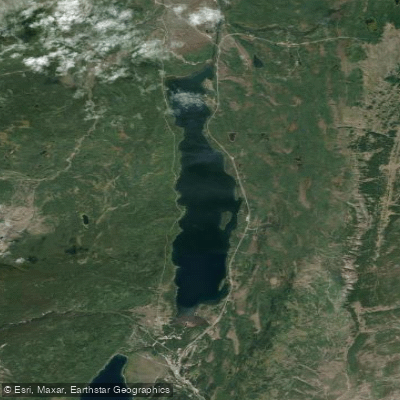
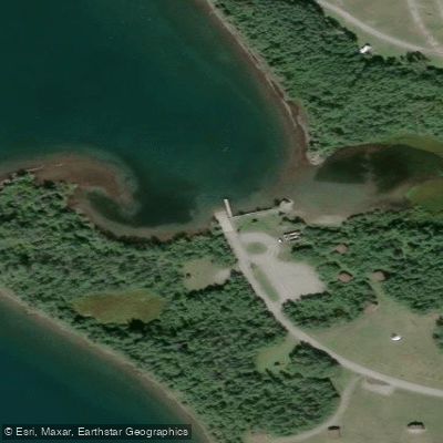
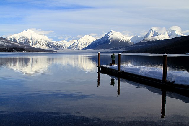
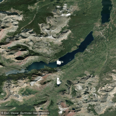
Saint Mary Lake is the second largest lake in Glacier National Park, offering spectacular views of the surrounding peaks along the Continental Divide. The lake is situated along the famous Going-to-the-Sun Road on the east side of the park. Paddlers can access the lake at the Rising Sun area, which provides a suitable launch point.
The lake's waters are extremely cold year-round, presenting a significant safety consideration. Paddlers should always wear a life jacket and be prepared for potential hypothermia. Wind can also kick up quickly on the lake, so staying a comfortable distance from shore is advised.
Notable sights include Little Chief Mountain towering above the western end of the lake and the iconic Wild Goose Island in the middle. Paddling to Wild Goose Island offers a unique close-up experience that few visitors get. The surrounding shorelines and mountain reflections provide stunning scenery, especially during sunrise and sunset.
The best time for paddling is typically mid-summer to late fall when the Going-to-the-Sun Road is open. Early morning or late afternoon tends to have calmer winds. All watercraft, including kayaks and paddleboards, must undergo an invasive species inspection before launching.
Saint Mary Lake offers a mix of peaceful paddling and breathtaking alpine scenery. The crystal-clear waters reflect the towering peaks, creating a serene yet awe-inspiring atmosphere. Wildlife sightings are possible along the shorelines.
For a rewarding day trip, paddlers can explore the lake's shorelines, venture out to Wild Goose Island, and take in views of peaks like Mahtotopa Mountain and Red Eagle Mountain. The lake's size and surrounding terrain make it suitable for both leisurely paddles and more extended explorations.