Lake Babcock
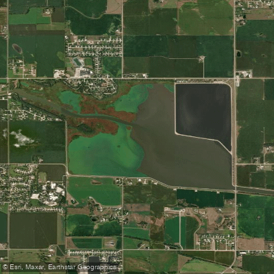
Lake Babcock
- Boat Ramps
- 2
- Access Points
- 2
- Campsites
- 2
Lake Babcock, located 3 miles north of Columbus, Nebraska, offers paddlers a scenic and accessible experience. The lake encompasses 31 acres along its north and west shores, providing ample space for exploration. Paddlers can access the water via Loup Park, which is situated along the lake's edge.
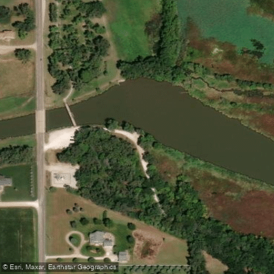
The Two Lakes Trail, a paved hiking and biking path, traverses the park area and connects to Lake North, offering paddlers the opportunity to explore both bodies of water. Castner's Crossing Bridge at the west end of the park links the Two Lakes trail with the Bob Lake and Robert White Trails, which skirt the west and south sides of Lake Babcock and the south side of Lake North. These 9-foot wide crushed limestone trails provide excellent vantage points for scouting paddling routes.
Wildlife enthusiasts will appreciate the diverse plant and animal life around Lake Babcock. The area is particularly known for bird watching, especially during fall and spring migrations. Paddlers can expect to encounter various waterfowl and potentially spot deer along the shoreline.
Loup Park, adjacent to Lake Babcock, offers several amenities for paddlers, including free parking at trailheads, playground areas, and potable water available from May to September. Picnic tables and grills are also provided, making it convenient for paddlers to enjoy a meal before or after their time on the water.
The lake is open to the public from May 1 to November 1, weather permitting. This seasonal access coincides with the most favorable paddling conditions in Nebraska, with summer months offering the warmest water temperatures.
While specific paddling regulations for Lake Babcock are not detailed, paddlers should be aware of general Nebraska boating laws and always prioritize safety by wearing appropriate life jackets and being mindful of weather conditions.
Water access, boat ramps & amenities
Learn how to get on Lake Babcock. Uncover great paddling access points, boat ramps, and all the facilities you need for an unforgettable day on the water. Some locations shown may border or include private property. Always check property boundaries and applicable regulations before visiting. PaddleWays's Public & Private Land layer can help you plan your access with confidence.
Paddle smarter with real-time insights
Whether you're en route and conditions shift or you're looking for the best spot based on current flows, we enable you to make informed decisions on the fly.








Find Places to Paddle

Over 400,000 Places to Paddle
Every user gets free access to launch points, boat ramps, and public property parcels.


Water and weather conditions (10 day forecast)
See the best times to paddle Lake Babcock and check the forecast before you go.
No forecast data available.
Paddling near Lake Babcock
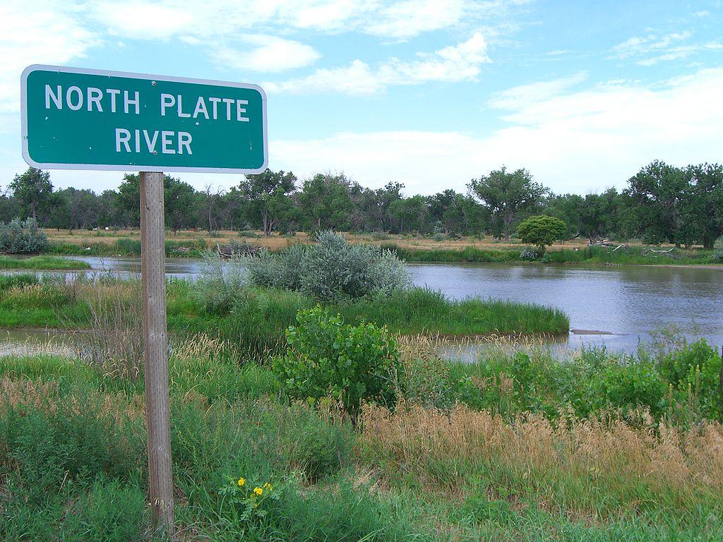
Platte River
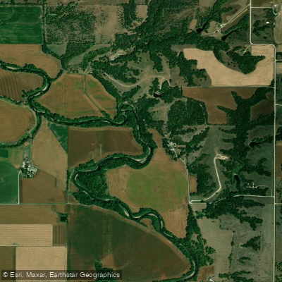
Big Blue River
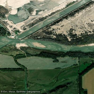
Loup River
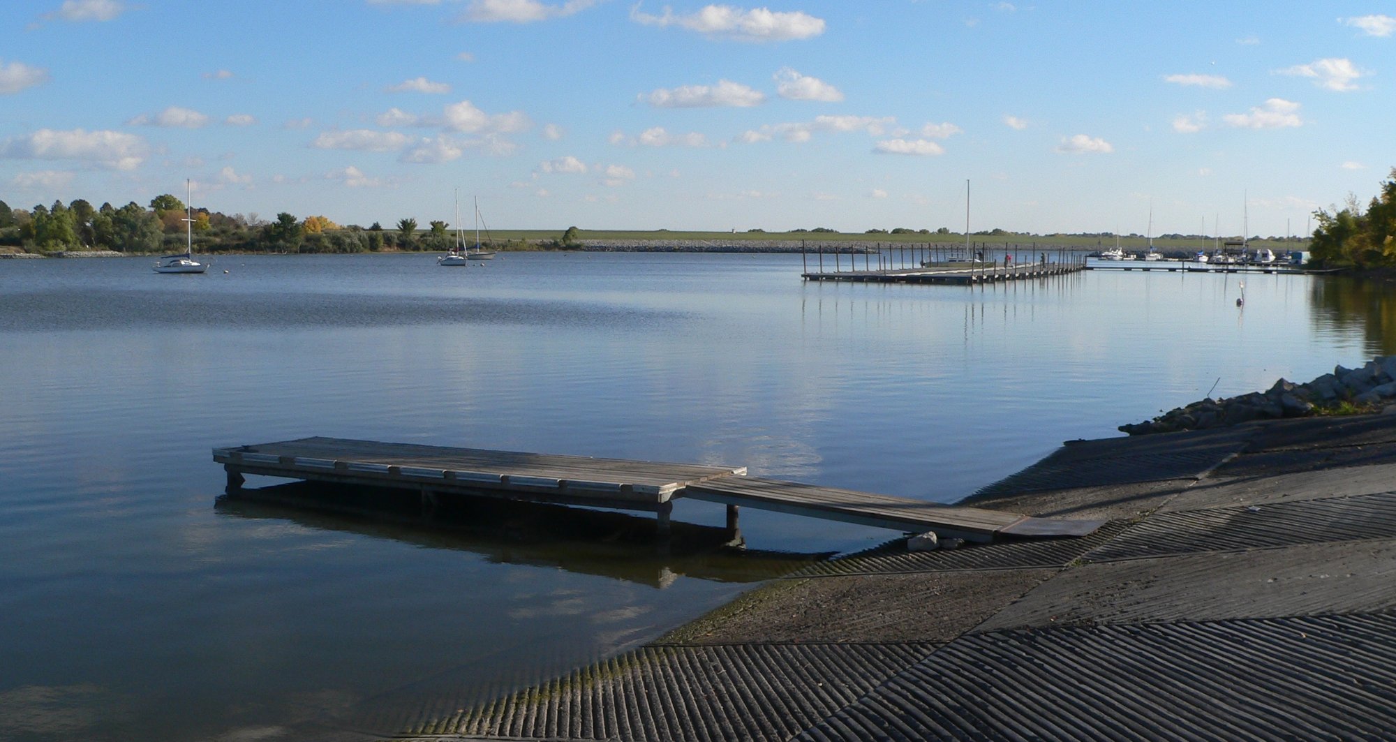
Branched Oak Lake
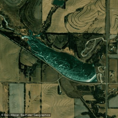
Czechland Lake
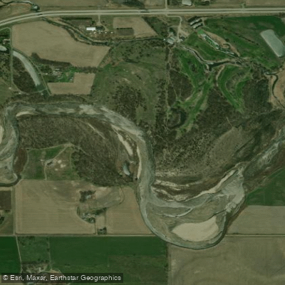
Elkhorn River
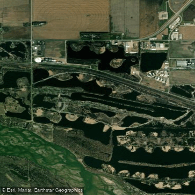
Victory Lake
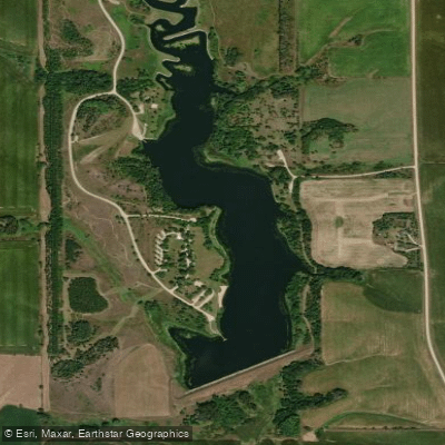
Maskenthine Reservoir
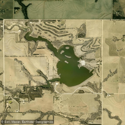
Wildwood Lake
Explore Nebraska waters
Top paddling waters
Popular Cities
Loading popular cities...
Explore near Lake Babcock
Access points
Nearby waters
More in Nebraska

Smarter Paddling Starts in the App.
Paddleways gives you everything you need to plan smarter, paddle better, and own every trip from first launch to takeout.