Maskenthine Reservoir
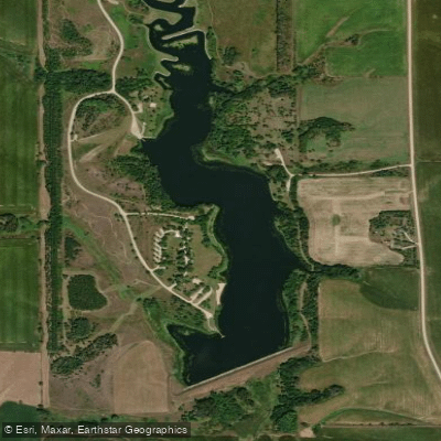
Maskenthine Reservoir
- Boat Ramps
- 2
- Access Points
- 2
- Campsites
- 0
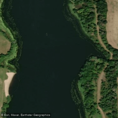
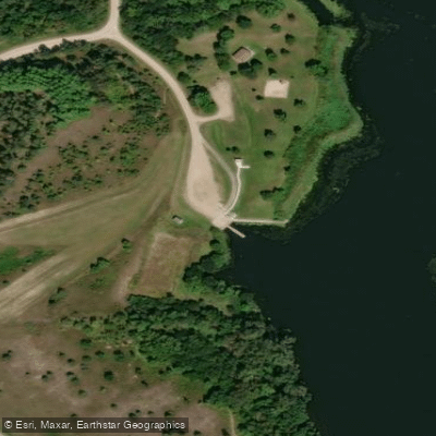
Maskenthine Lake is a 100-acre reservoir located in north-central Stanton County, Nebraska, approximately 10 miles east of Norfolk. The lake features a boat ramp on the west side providing easy access for paddlers, with convenient lakeside parking available. A 5 mph no-wake regulation is strictly enforced throughout the lake, creating favorable conditions for paddling.
The reservoir is surrounded by 680 acres of public land offering a mix of open space and vegetated shoreline. The lake's geography includes several distinctive features, including an 18-foot deep area near the handicap-accessible fishing pier on the south side. A 1,500-foot earth dam forms the southern boundary, rising 53 feet high.
Paddlers will find plenty of wildlife viewing opportunities, particularly birds. The area serves as habitat for migratory waterfowl and various native species. An arboretum established on the east side in 1976 showcases native and exotic trees in a natural arrangement, providing an interesting backdrop for paddlers.
Facilities include a sand swimming beach on the southwest end of the lake, restrooms, and shower facilities (available May 1 to October 1, weather permitting). No park permit or entrance fee is required, making this an accessible destination for paddlers.
The lake was constructed in 1976 as a flood control project for the town of Stanton. Its permanent pool storage is 927.5 acre-feet, with additional flood storage capacity of 2,551 acre-feet. The water body receives drainage from almost 6,000 acres of surrounding land.
Notable regulations include prohibition of alcoholic beverages and restrictions on pets near the swimming beach. The beach area is closed between 9:00 p.m. and 6:00 a.m. Paddlers should be aware that the lake is also used for fishing, with species including northern pike, walleye, and various other game fish.
Water access, boat ramps & amenities
Learn how to get on Maskenthine Reservoir. Uncover great paddling access points, boat ramps, and all the facilities you need for an unforgettable day on the water. Some locations shown may border or include private property. Always check property boundaries and applicable regulations before visiting. PaddleWays's Public & Private Land layer can help you plan your access with confidence.
Paddle smarter with real-time insights
Whether you're en route and conditions shift or you're looking for the best spot based on current flows, we enable you to make informed decisions on the fly.








Find Places to Paddle

Over 400,000 Places to Paddle
Every user gets free access to launch points, boat ramps, and public property parcels.


Water and weather conditions (10 day forecast)
See the best times to paddle Maskenthine Reservoir and check the forecast before you go.
No forecast data available.
Paddling near Maskenthine Reservoir
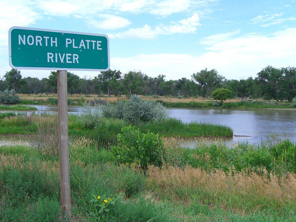
Explore Nebraska waters
Top paddling waters
Popular Cities
Loading popular cities...
Explore near Maskenthine Reservoir
Access points
- Maskenthine Lake Boat Ramp
- Maskenthine Recreation Area Boat Ramp
- Meskenthine Creek Bridge
- Indian Creek Bridge
- Pleasant Run Creek Bridge
- Meskenthine Creek Bridge
- Pleasant Run Creek Bridge
- Meskenthine Creek Bridge
- Pleasant Run Creek Bridge
- Elkhorn River Bridge
- Payne Creek Bridge
- Pleasant Run Creek Bridge
- All 23 spots
Nearby waters
More in Nebraska

Smarter Paddling Starts in the App.
Paddleways gives you everything you need to plan smarter, paddle better, and own every trip from first launch to takeout.