West Fork Big Blue River
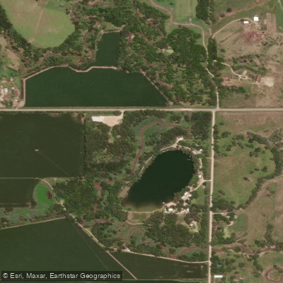
West Fork Big Blue River
- Boat Ramps
- 0
- Access Points
- 0
- Campsites
- 1
The West Fork Big Blue River is a significant waterway in southeastern Nebraska, forming a crucial part of the larger Big Blue River system. Originating in the gently rolling plains of Nebraska, this river flows generally southeastward for approximately 182.4 miles before joining the main stem of the Big Blue River, which ultimately contributes to the Gulf of Mexico watershed. The West Fork Big Blue River offers flatwater paddling opportunities, particularly suitable for canoeists and kayakers seeking a peaceful journey through Nebraska's agricultural landscape. The river's character is primarily that of a prairie stream, with a generally mild current and few significant obstacles.
One notable section for paddlers is near Dorchester, Nebraska, where a USGS gaging station (06880800) provides real-time water data. This information is crucial for planning trips, as the river's flow can vary seasonally. The best paddling times are typically late spring through early fall, avoiding the colder months and potential ice formation.
The river's ecosystem supports a variety of prairie flora and fauna. Paddlers may encounter cottonwood trees lining the banks, various waterfowl, and potentially deer or small mammals near the shoreline. The surrounding landscape is predominantly agricultural, offering glimpses into Nebraska's farming heritage.
Access points are limited, with the area near Dorchester being one of the more well-documented put-in locations. Paddlers should research and confirm access points before their trip, as much of the surrounding land is private property. The nearest significant town to the Dorchester section is Crete, about 10 miles to the northeast.
The West Fork Big Blue River plays a vital role in the region's water management and agricultural practices. Its waters have been crucial for irrigation and local ecosystems for generations, reflecting the area's strong agricultural ties.
Safety considerations include checking current water levels and weather forecasts, as prairie rivers can change rapidly with rainfall. Paddlers should be aware of potential logjams and strainers, especially in less frequently traveled sections. As with all Nebraska waterways, life jackets are required by law. While multi-day trips may be possible, they would require careful planning due to limited established camping areas along the river. Day trips are more common and accessible for most paddlers.
For those interested in exploring this quintessential Nebraska waterway, the West Fork Big Blue River offers a serene paddling experience through the heart of the state's agricultural region, providing a unique perspective on the prairie landscape and its vital water resources.
Water access, boat ramps & amenities
Learn how to get on West Fork Big Blue River. Uncover great paddling access points, boat ramps, and all the facilities you need for an unforgettable day on the water. Some locations shown may border or include private property. Always check property boundaries and applicable regulations before visiting. PaddleWays's Public & Private Land layer can help you plan your access with confidence.
W Fk Big Blue River Bridge
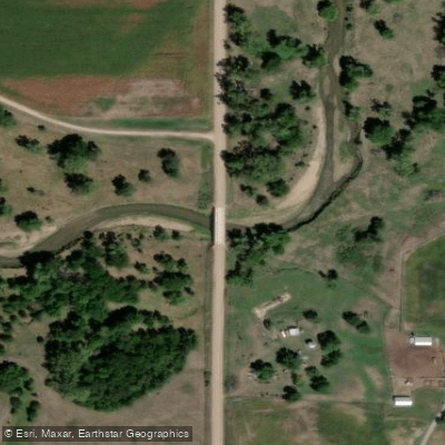
W Fk Big Blue River Bridge
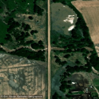
W Fk Big Blue River Bridge
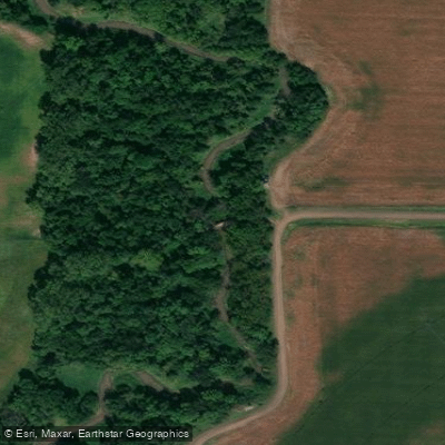
W Fk Big Blue River Bridge
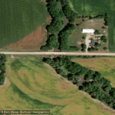
W Fk Big Blue River Bridge
W Fk Big Blue River Bridge
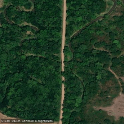
W Fk Big Blue River Bridge
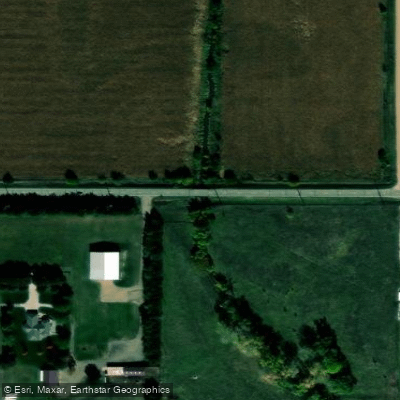
W Fk Big Blue River Bridge
W Fk Big Blue River Bridge
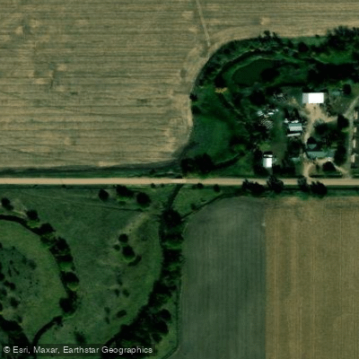
W Fk Big Blue River Bridge
Paddle smarter with real-time insights
Whether you're en route and conditions shift or you're looking for the best spot based on current flows, we enable you to make informed decisions on the fly.








Find Places to Paddle

Over 400,000 Places to Paddle
Every user gets free access to launch points, boat ramps, and public property parcels.


Water and weather conditions (10 day forecast)
See the best times to paddle West Fork Big Blue River and check the forecast before you go.
West Fork Big Blue River near Dorchester, Nebr.
All Flow Stations
Paddling near West Fork Big Blue River
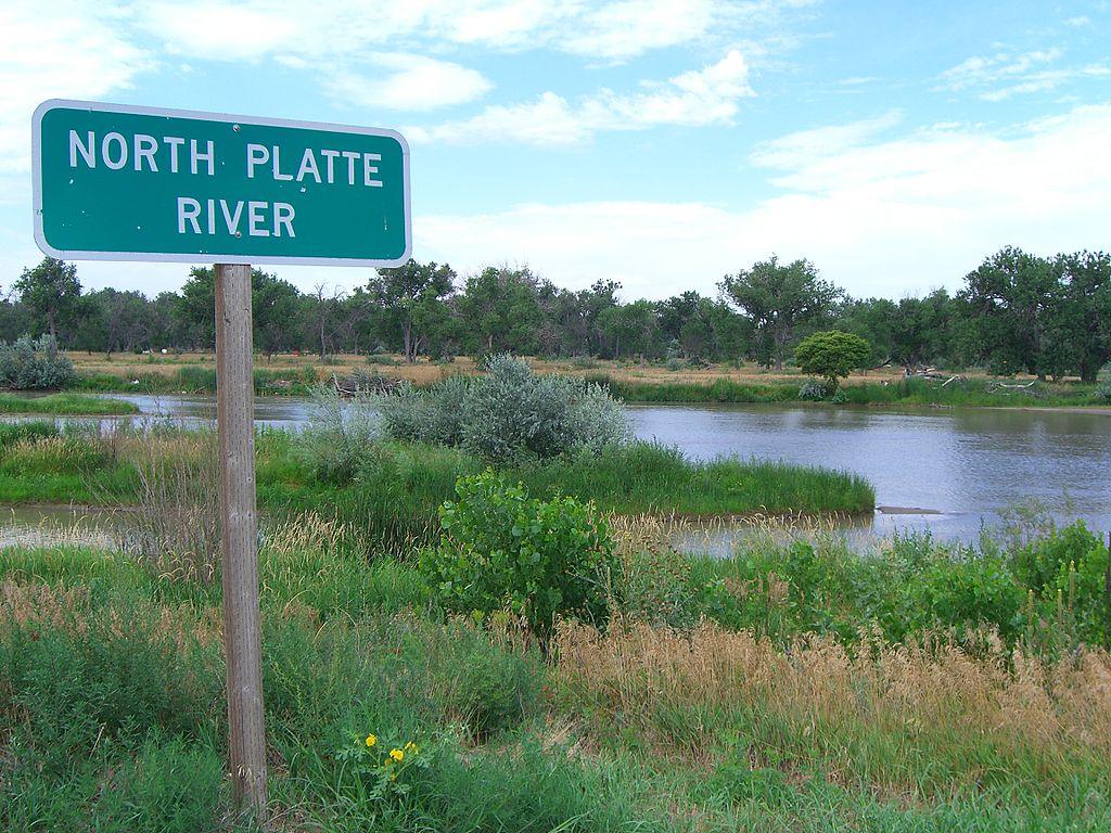
Platte River
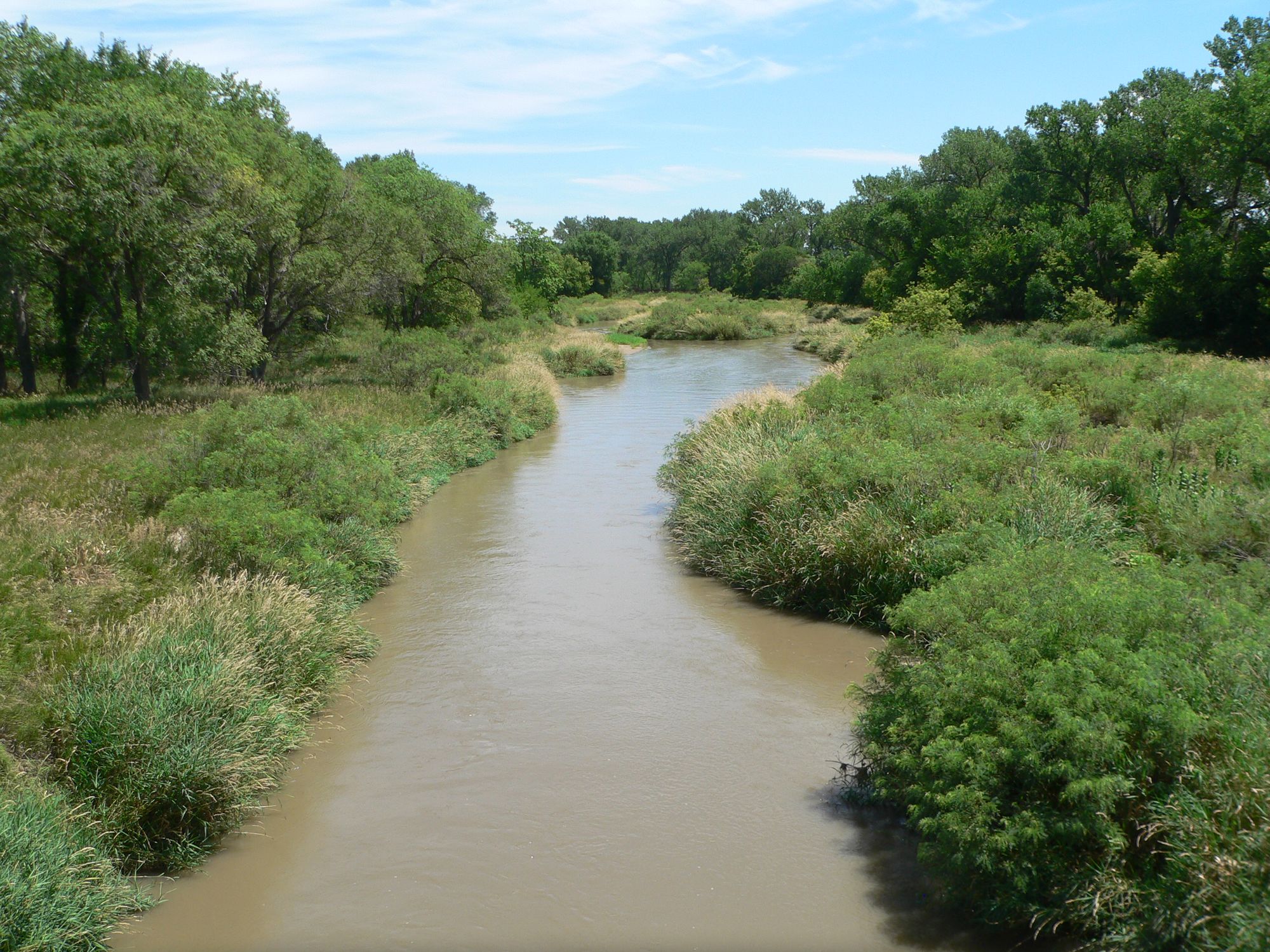
Republican River
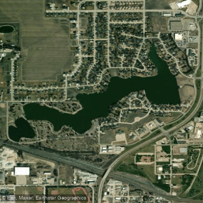
Lake Hastings
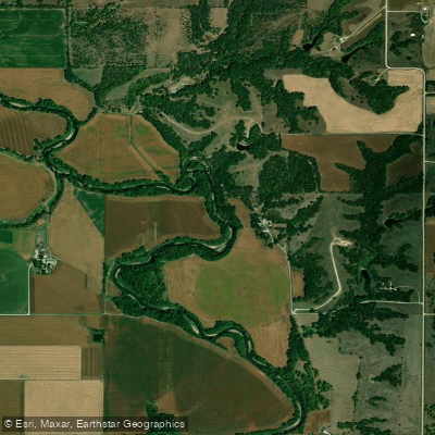
Big Blue River
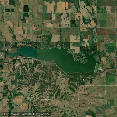
Lovewell Reservoir
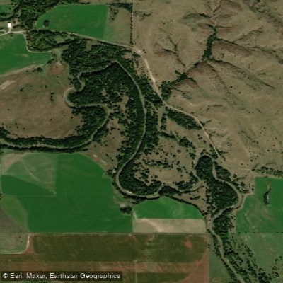
South Loup River
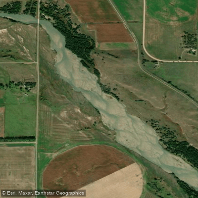
Middle Loup River
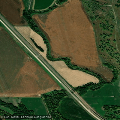
Mud Creek
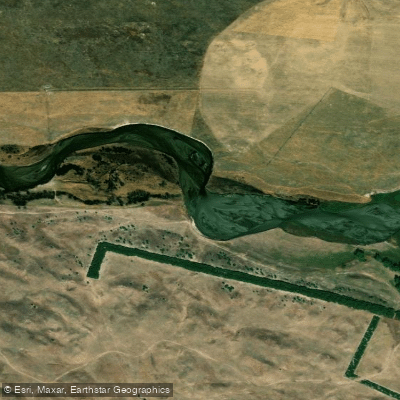
North Loup River
Explore Nebraska waters
Top paddling waters
Popular Cities
Loading popular cities...
Explore near West Fork Big Blue River
Access points
- W Fk Big Blue River Bridge
- W Fk Big Blue River Bridge
- W Fk Big Blue River Bridge
- W Fk Big Blue River Bridge
- W Fk Big Blue River Bridge
- W Fk Big Blue River Bridge
- W Fk Big Blue River Bridge
- W Fk Big Blue River Bridge
- W Fk Big Blue River Bridge
- W Fk Big Blue River Bridge
- W Fk Big Blue River Bridge
- W Fk Big Blue River Bridge
- All 189 spots
Nearby waters
More in Nebraska

Smarter Paddling Starts in the App.
Paddleways gives you everything you need to plan smarter, paddle better, and own every trip from first launch to takeout.