Wehrspann Lake
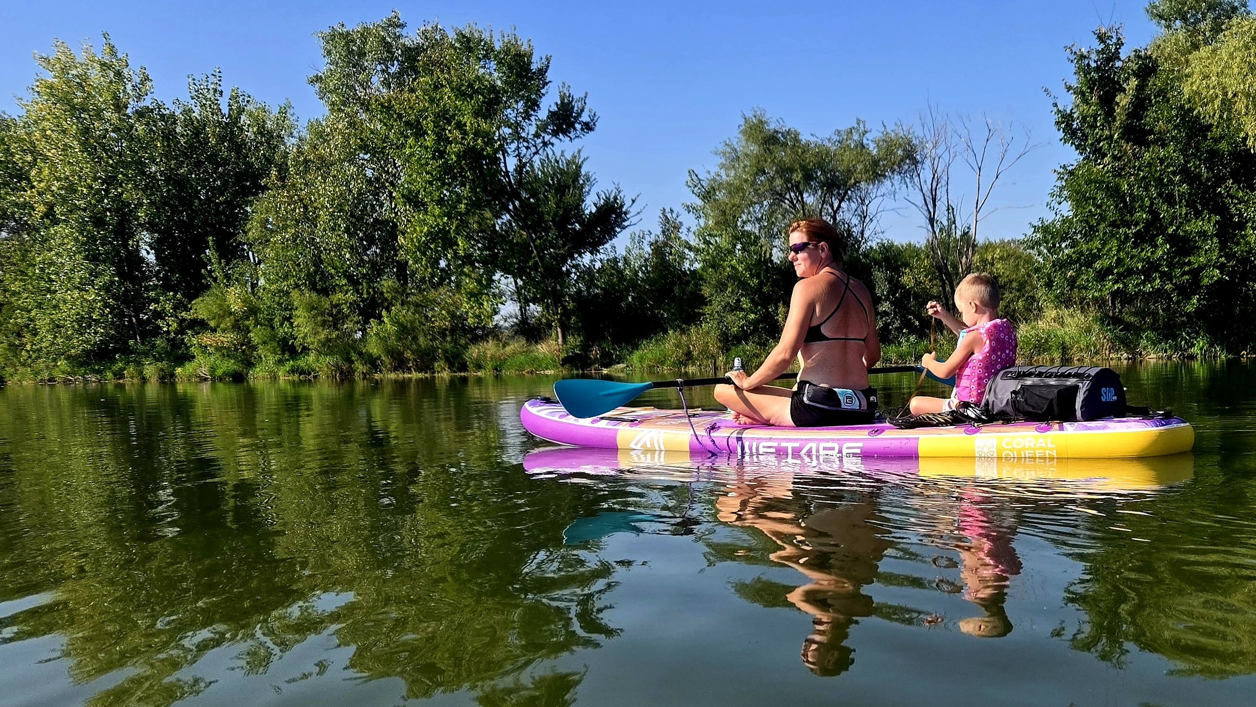
Wehrspann Lake
- Boat Ramps
- 2
- Access Points
- 2
- Campsites
- 0
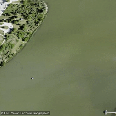
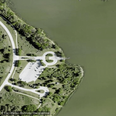
Wehrspann Lake is a 246-acre flood control reservoir located within the 940-acre Chalco Hills Recreation Area in southwest Omaha. The lake features a concrete double-lane boat ramp with a gradual slope on the west side, along with a designated put-in dock. An additional access point is available at the "step dam" on the southwest end, which serves as the water inlet and offers easy put-in/take-out via steps from top to bottom.
Motorized boats are restricted to a 5 mph speed limit, creating favorable conditions for paddlers. The lake's sheltered waters make it suitable for beginners, particularly when morning winds are calm. The inlet area near the step dam offers especially peaceful paddling conditions and wildlife viewing opportunities.
Wildlife commonly seen while paddling includes deer, muskrats, minks, and numerous migratory songbirds. The lake is surrounded by trees and grasses, providing natural scenery and habitat. Paddlers can explore the full shoreline or venture into the calm inlet area for a more secluded experience.
The recreation area is open daily from 6:00 AM to 10:00 PM year-round. Facilities include basic outhouses in all parking lots, charcoal grills, and picnic areas. There is no drinking water available on site, so paddlers should bring their own. No fees or permits are required for paddling.
For an interesting day trip, paddlers can traverse from the step dam to the main dam, fishing along the way near submerged trees and structures. The lake's clear waters and abundant fish population make it popular for combining paddling with fishing, though anglers should note special catch-and-release guidelines are encouraged.
The Chalco Hills area offers over 7 miles of trails surrounding the lake, including a 4.5-mile north loop and a 7.2-mile full loop, providing opportunities to extend a paddling trip with shoreline exploration.
Water access, boat ramps & amenities
Learn how to get on Wehrspann Lake. Uncover great paddling access points, boat ramps, and all the facilities you need for an unforgettable day on the water. Some locations shown may border or include private property. Always check property boundaries and applicable regulations before visiting. PaddleWays's Public & Private Land layer can help you plan your access with confidence.
Paddle smarter with real-time insights
Whether you're en route and conditions shift or you're looking for the best spot based on current flows, we enable you to make informed decisions on the fly.








Find Places to Paddle

Over 400,000 Places to Paddle
Every user gets free access to launch points, boat ramps, and public property parcels.


Water and weather conditions (10 day forecast)
See the best times to paddle Wehrspann Lake and check the forecast before you go.
No forecast data available.
Paddling near Wehrspann Lake

Missouri River
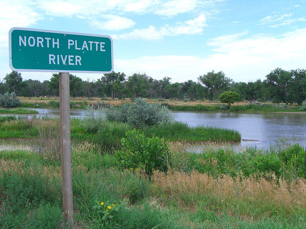
Platte River
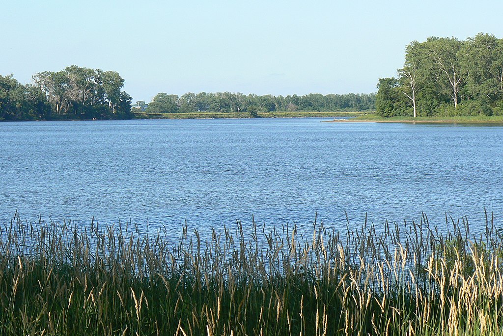
DeSoto Lake
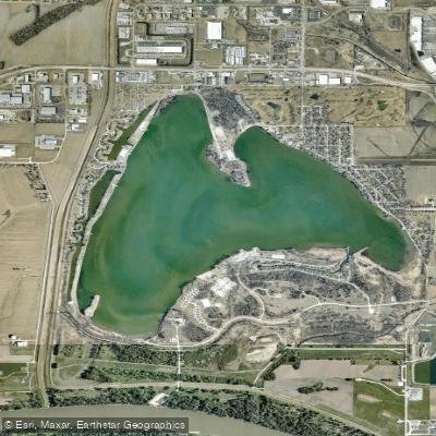
Lake Manawa
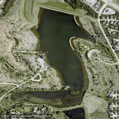
Walnut Creek Lake
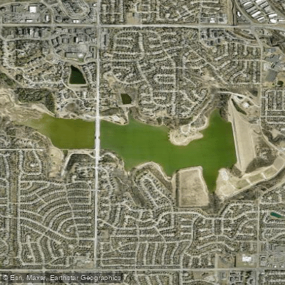
Zorinsky Lake
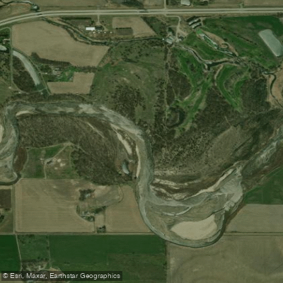
Elkhorn River
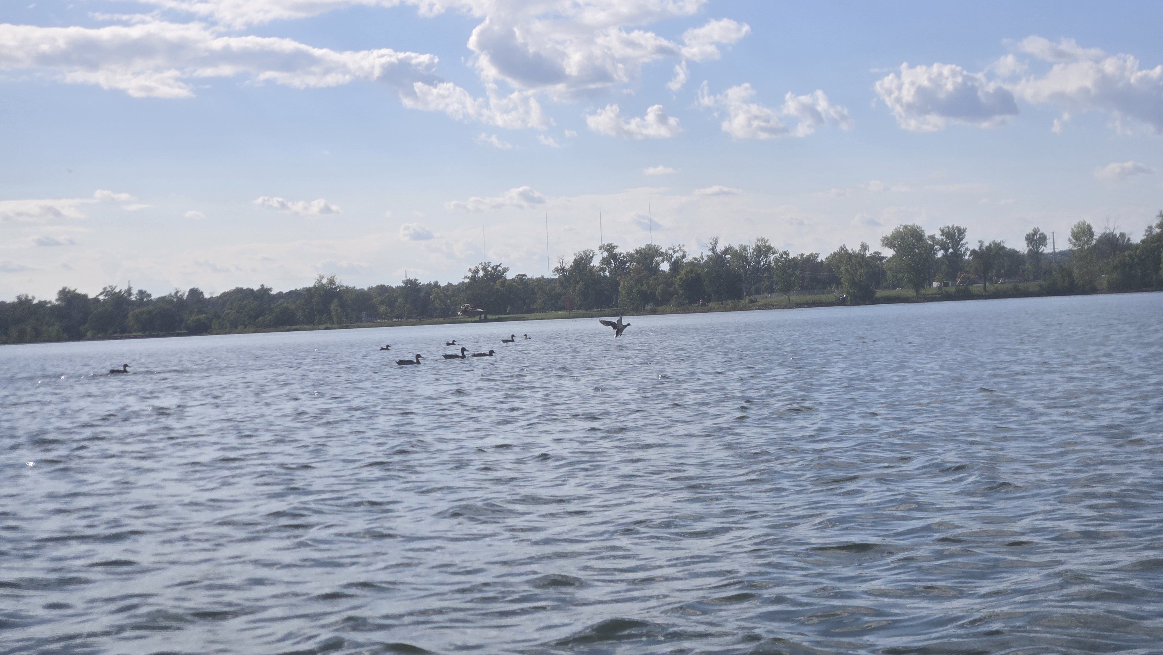
Carter Lake
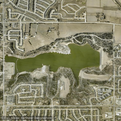
Standing Bear Reservoir
Explore Nebraska waters
Top paddling waters
Popular Cities
Loading popular cities...
Explore near Wehrspann Lake
Access points
- Wehrspann Lake Recreation Area Boat Ramp
- Chalco Hills Recreation Area Boat Ramp
- Stream Bridge
- Papillion Creek Trib Bridge
- Bnsf/s Ppln Cr 073-185-k Bridge
- S Br Papillion Creek Bridge
- Wehrspann Creek Bridge
- W Br Papillion Creek Bridge
- Stream Bridge
- S Br Papillion Creek Bridge
- Westmont Creek Bridge
- Tiburon Creek Bridge
- All 37 spots
Nearby waters
More in Nebraska

Smarter Paddling Starts in the App.
Paddleways gives you everything you need to plan smarter, paddle better, and own every trip from first launch to takeout.