DeSoto Lake
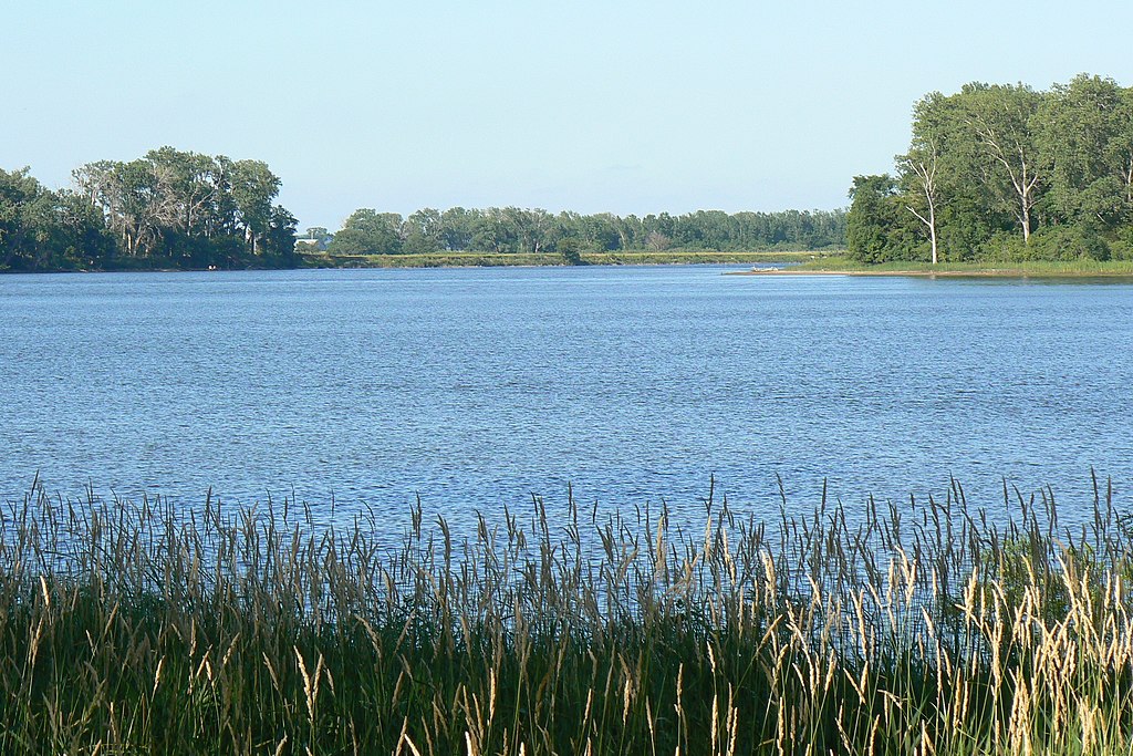
DeSoto Lake
- Boat Ramps
- 4
- Access Points
- 16
- Campsites
- 4
DeSoto Lake, located in western Iowa, offers a unique paddling experience on an oxbow lake formed from a former bend in the Missouri River. The lake spans 8 miles, with one shore technically in Nebraska. Paddlers can access the lake via the put-in site near the Steamboat Bertrand trailhead at the DeSoto National Wildlife Refuge South Gate area.
The lake is characterized by minimal development and a natural appearance, providing a tranquil flatwater paddling environment. A 5 mph speed limit is strictly enforced, resulting in minimal motorboat traffic. Paddlers can enjoy a 10-mile loop trip that includes a short portage to the Missouri River, a 2-mile river run, and a portage back to the lake. Out-and-back trips up to 16 miles are also possible.
Wildlife viewing opportunities abound, with various bird species including wood ducks, geese, herons, and plovers frequently observed. The lake is part of a larger wildlife refuge, serving as a crucial stopover for migrating waterfowl during spring and fall.
Facilities for paddlers include an extensive network of boat docks, fishing piers, and ample parking. Picnic grounds with outhouses are available along the inside shore, offering convenient rest stops. The outside shore is off-limits to visitors.
Water quality in DeSoto Lake is very clean. Paddling is permitted from April 15th to October 14th, with restrictions during peak migration seasons to protect wildlife.
A day use fee of $3 is required, or paddlers can purchase an annual permit for $15. The DeSoto Visitor Center, located at the north end of the refuge, houses an impressive collection of artifacts from the Steamboat Bertrand, which sank in the former river bend in 1865.
For paddlers seeking a peaceful flatwater experience rich in both natural beauty and historical significance, DeSoto Lake provides an excellent destination in the heart of the Missouri River floodplain.
Water access, boat ramps & amenities
Learn how to get on DeSoto Lake. Uncover great paddling access points, boat ramps, and all the facilities you need for an unforgettable day on the water. Some locations shown may border or include private property. Always check property boundaries and applicable regulations before visiting. PaddleWays's Public & Private Land layer can help you plan your access with confidence.
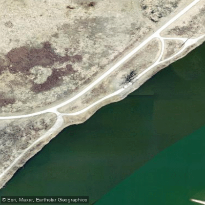
Whitetail Drive Access
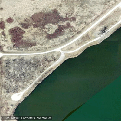
Whitetail Drive Access
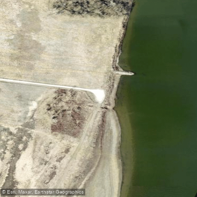
Lakeview Drive Access
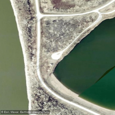
Whitetail Drive Access
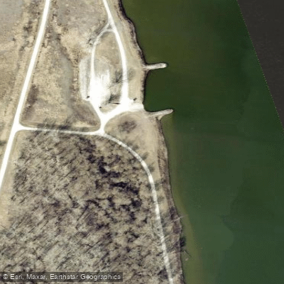
Lakeview Drive Access
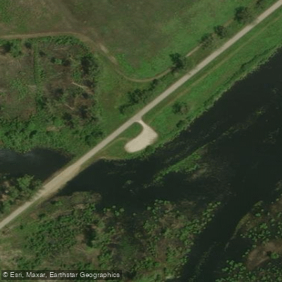
Bullhead Pond Access
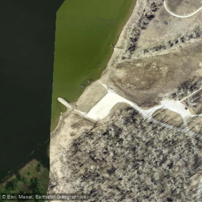
Excavation Site Access
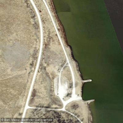
Lakeview Drive Access
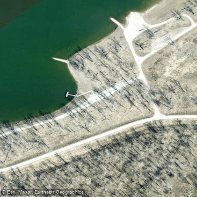
Southgate Recreation Area Access
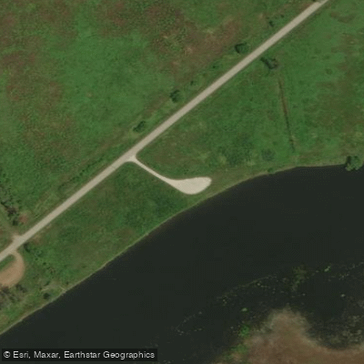
Sand Bar Chute Access
Paddle smarter with real-time insights
Whether you're en route and conditions shift or you're looking for the best spot based on current flows, we enable you to make informed decisions on the fly.








Find Places to Paddle

Over 400,000 Places to Paddle
Every user gets free access to launch points, boat ramps, and public property parcels.


Water and weather conditions (10 day forecast)
See the best times to paddle DeSoto Lake and check the forecast before you go.
No forecast data available.
Paddling near DeSoto Lake

Missouri River
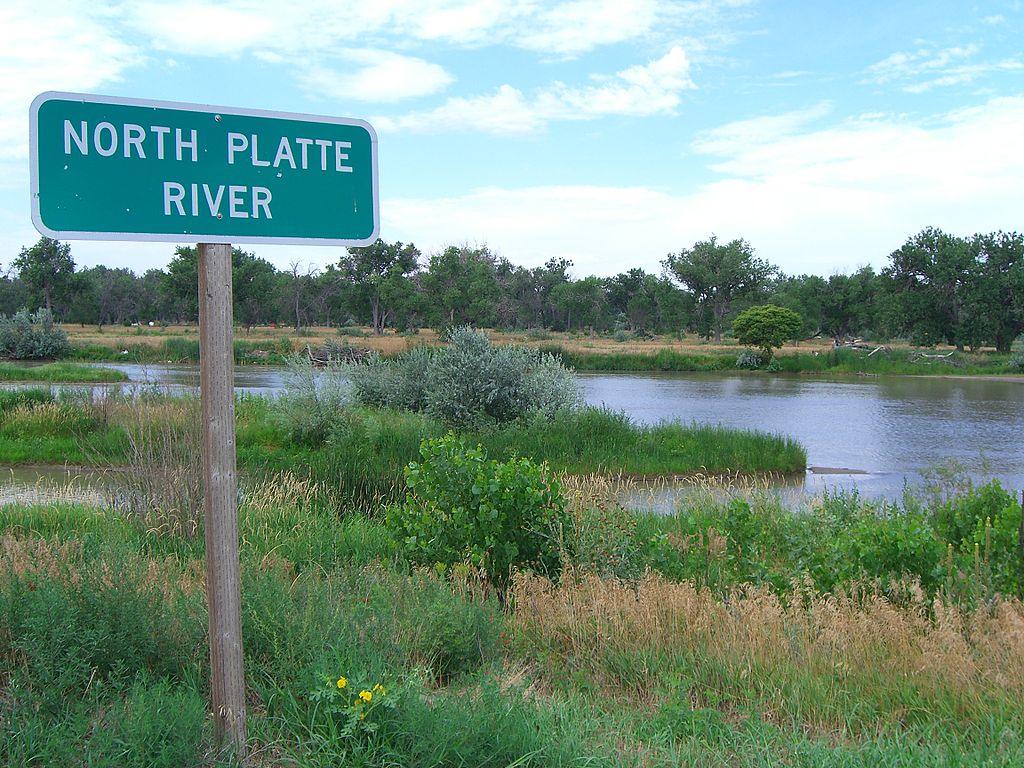
Platte River
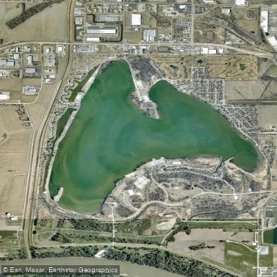
Lake Manawa
Carter Lake
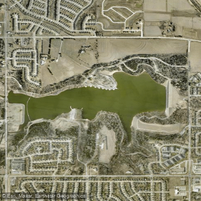
Standing Bear Reservoir
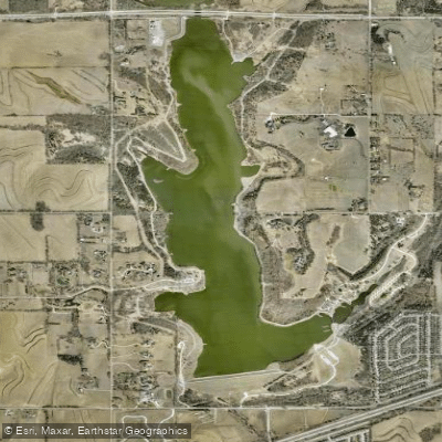
Glenn Cunningham Lake
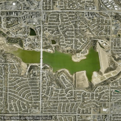
Zorinsky Lake
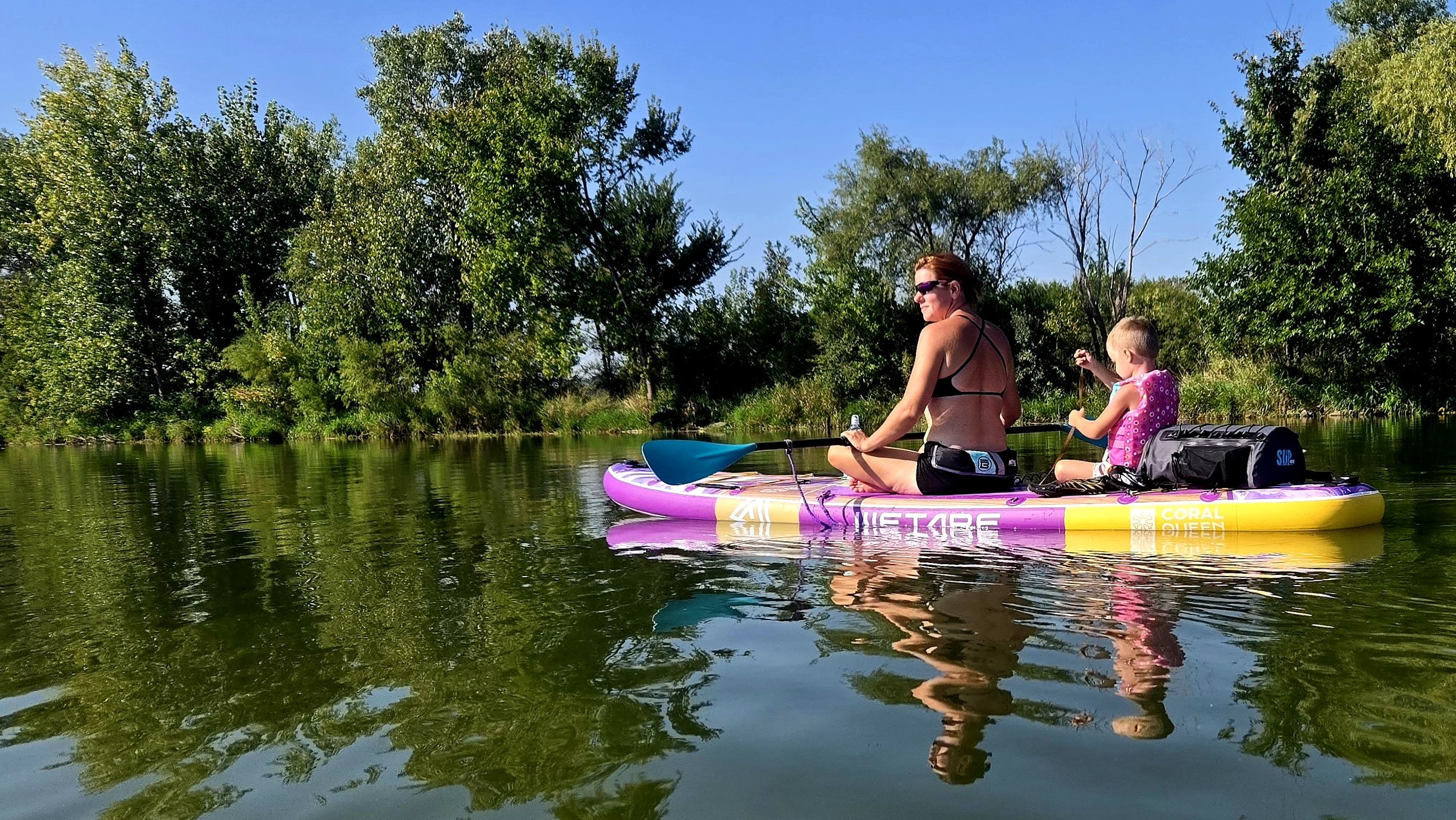
Wehrspann Lake
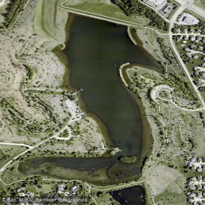
Walnut Creek Lake
Explore Iowa waters
Top paddling waters
Popular Cities
Loading popular cities...
Explore near DeSoto Lake
Access points
Nearby waters
More in Iowa

Smarter Paddling Starts in the App.
Paddleways gives you everything you need to plan smarter, paddle better, and own every trip from first launch to takeout.