Lake Mohave
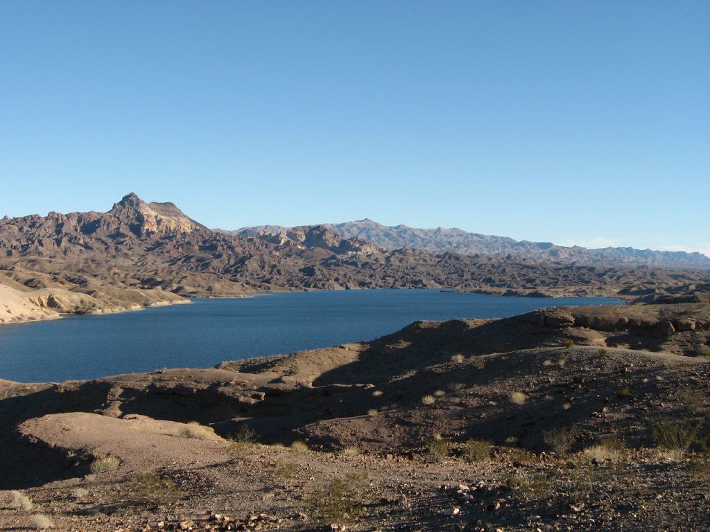
Lake Mohave
- Boat Ramps
- 4
- Access Points
- 7
- Campsites
- 2
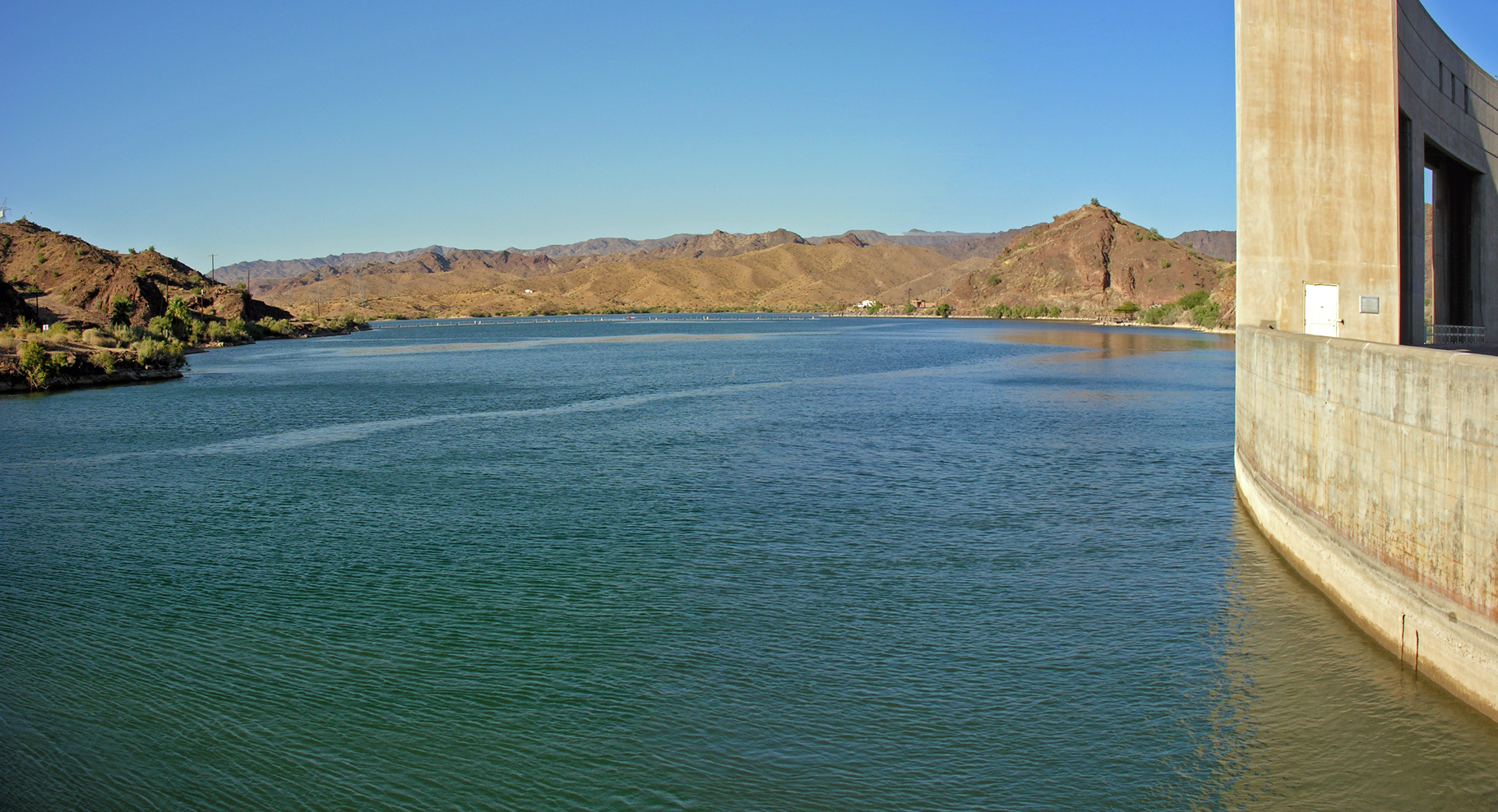
Lake Mohave stretches 67 miles along the Nevada-Arizona border, offering diverse paddling opportunities. The 76-mile Mohave Water Trail follows both shorelines, providing access to sandy beaches, scenic desert areas, and historic sites. Willow Beach is a popular launch point, situated in the center of the Black Canyon National Water Trail. From here, paddlers can explore coves, hot springs, and Emerald Cave upstream, or venture south to view unique rock formations and caves.
Safety is paramount on Lake Mohave. All paddlers must wear U.S. Coast Guard-approved life jackets between Hoover Dam and River Mile 43 (Chalk Cliffs). Water temperatures are cold year-round, averaging in the low 50s°F (10°C). The waterway can change quickly from calm to strong currents with rapids, and narrow canyons may have congested vessel traffic.
Paddlers should be aware of regulations. An Aquatic Invasive Species (AIS) decal is required for kayaks and canoes in Nevada to prevent the spread of quagga mussels. Launching is prohibited at designated swim beaches like Cottonwood Cove. On Sundays and Mondays, the area north of Willow Beach is managed as a primitive zone, with motorized vessels prohibited.
The lake offers year-round recreation, but April through November is ideal for fishing, with October being peak season. Early mornings and evenings provide the best conditions for both paddling and angling. Lake Mohave is known for its consistent water levels, warm water, and numerous coves - over 100 on the Nevada side and 80 on the Arizona side. These coves offer protected areas and good camping spots, as camping is allowed throughout the lakeshore.
Paddlers can observe distinctive geology and desert-adapted wildlife. The lake's northern section is constrained by the steep walls of Black Canyon, while the southern portion widens to nearly four miles in Cottonwood Basin. With 250 miles of shoreline and crystal-clear waters, Lake Mohave provides a scenic backdrop for exploration by kayak or canoe.
Water access, boat ramps & amenities
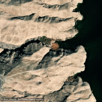
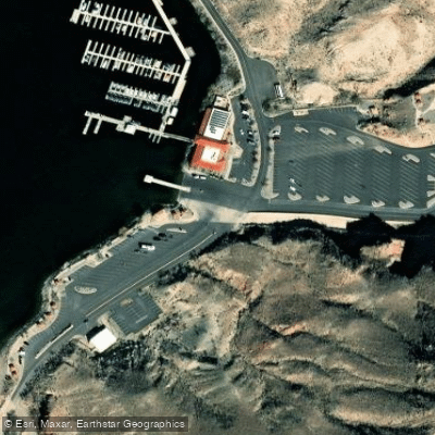
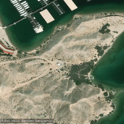
Learn how to get on Lake Mohave. Uncover great paddling access points, boat ramps, and all the facilities you need for an unforgettable day on the water. Some locations shown may border or include private property. Always check property boundaries and applicable regulations before visiting. PaddleWays's Public & Private Land layer can help you plan your access with confidence.
Paddle smarter with real-time insights
Whether you're en route and conditions shift or you're looking for the best spot based on current flows, we enable you to make informed decisions on the fly.








Find Places to Paddle

Over 400,000 Places to Paddle
Every user gets free access to launch points, boat ramps, and public property parcels.


Water and weather conditions (10 day forecast)
See the best times to paddle Lake Mohave and check the forecast before you go.
LAKE MOHAVE AT DAVIS DAM, AZ-NV
All Flow Stations

Explore Nevada waters
Top paddling waters
Popular Cities
Loading popular cities...
Explore near Lake Mohave
Access points
Nearby waters
More in Nevada

Smarter Paddling Starts in the App.
Paddleways gives you everything you need to plan smarter, paddle better, and own every trip from first launch to takeout.