Lahontan Reservoir
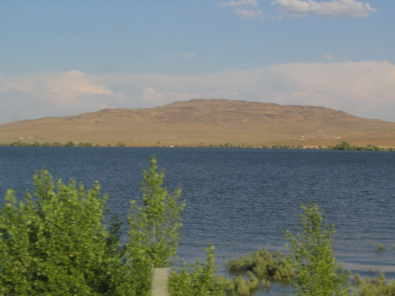
Lahontan Reservoir
- Boat Ramps
- 2
- Access Points
- 2
- Campsites
- 0
Lahontan Reservoir, located in Nevada, offers paddlers 69 miles of shoreline and 11,200 acres of water when full. The reservoir was created by the Lahontan Dam, built in 1915 as part of an irrigation project. Access points include Silver Springs Beach and Churchill Beach, with boat launches available on both sides of the park. Four-wheel drive vehicles can also launch from beaches open to camping.
Paddlers should be aware that the reservoir is popular for motorized boating, water-skiing, and fishing. All boat launching is done at the user's risk. The lake is home to various fish species including walleye, white bass, catfish, and trout. However, there is a health warning regarding fish consumption that paddlers should consult.
The surrounding landscape features high desert sagebrush, with native cottonwoods and willows scattered along the shoreline. Wildlife viewing opportunities include wild horses, bobcat, fox, deer, and various bird species. Lahontan is a nesting site for bald eagles, and migratory waterfowl, pelicans, herons, and hawks are frequently seen.
The best times to paddle are spring and fall when temperatures are mild. Summers can be extremely hot, with temperatures often exceeding 100°F. Winters can be cold and snowy, potentially limiting water activities. Much of the park is below 4,000 feet in elevation.
Primitive beach camping is permitted in most areas, with a 14-day limit in a 30-day period. Two developed day-use picnic areas provide amenities such as restrooms, showers, tables, and grills. Note that showers and flush toilets are closed from October to May.
The park is open year-round, with entrance fees varying for Nevada and non-Nevada vehicles. Paddlers should be aware of designated hunting areas within the park and adhere to Nevada Department of Wildlife regulations.
Water access, boat ramps & amenities
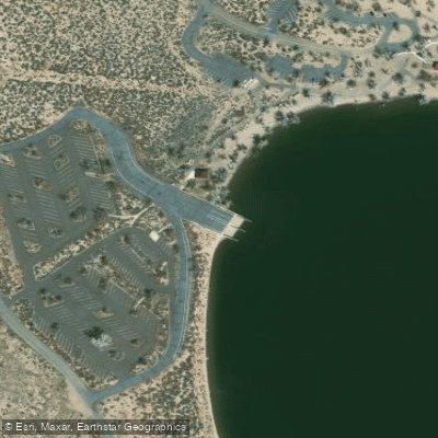
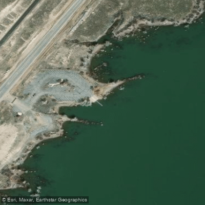
Learn how to get on Lahontan Reservoir. Uncover great paddling access points, boat ramps, and all the facilities you need for an unforgettable day on the water. Some locations shown may border or include private property. Always check property boundaries and applicable regulations before visiting. PaddleWays's Public & Private Land layer can help you plan your access with confidence.
Paddle smarter with real-time insights
Whether you're en route and conditions shift or you're looking for the best spot based on current flows, we enable you to make informed decisions on the fly.








Find Places to Paddle

Over 400,000 Places to Paddle
Every user gets free access to launch points, boat ramps, and public property parcels.


Water and weather conditions (10 day forecast)
See the best times to paddle Lahontan Reservoir and check the forecast before you go.
No forecast data available.
Paddling near Lahontan Reservoir
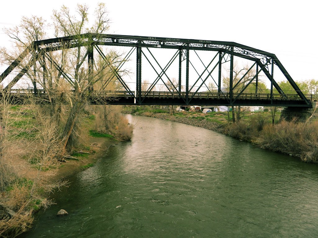
Truckee River
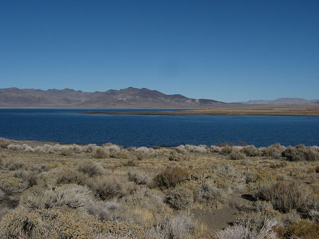
Pyramid Lake
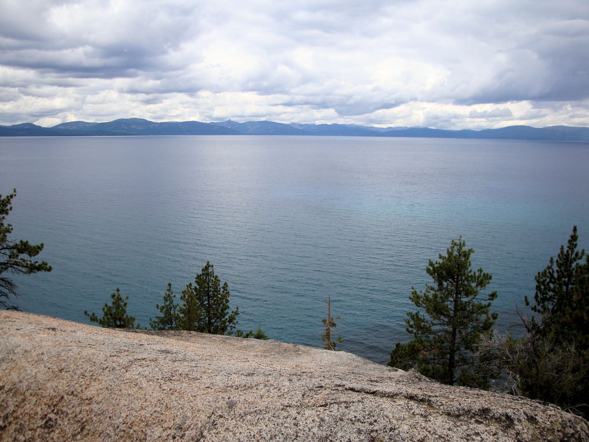
Lake Tahoe
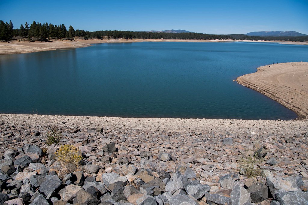
Boca Reservoir
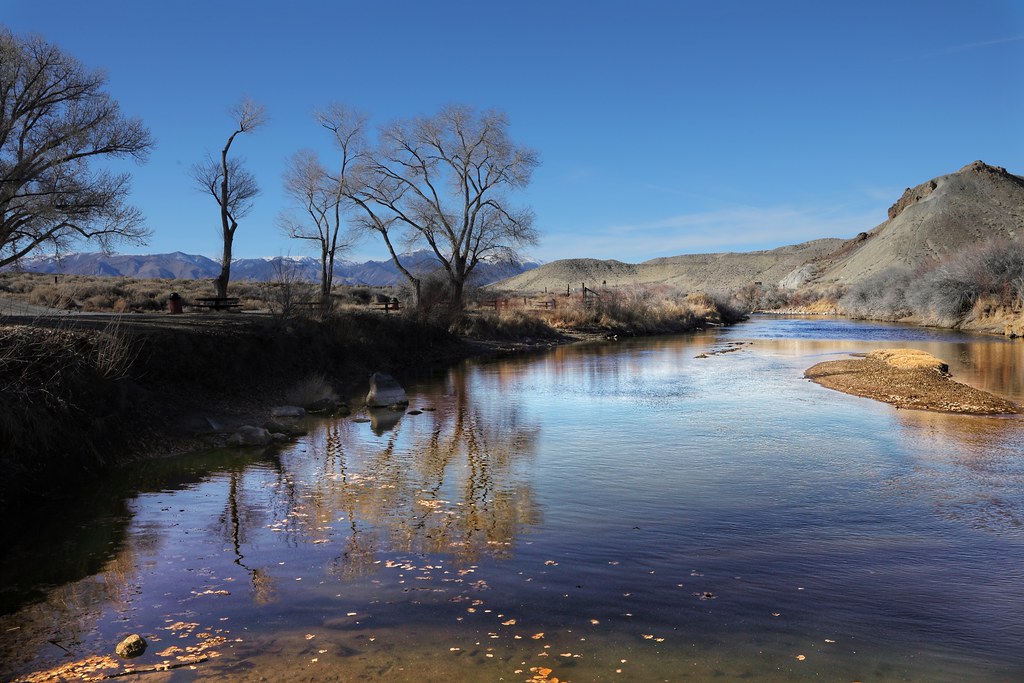
Walker River
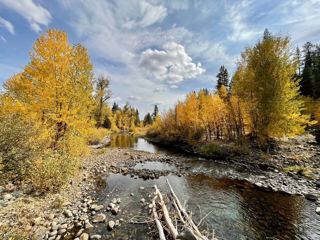
Little Truckee River
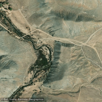
East Walker River
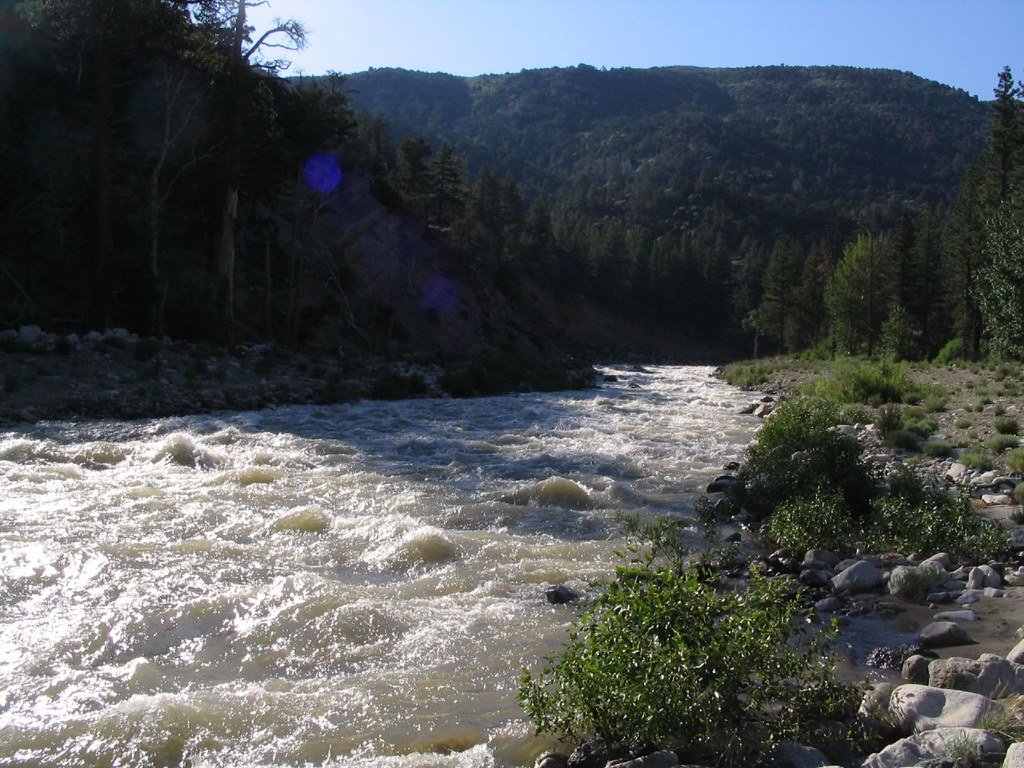
West Walker River
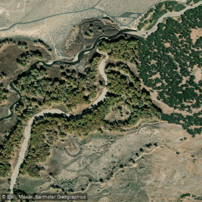
Carson River
Explore Nevada waters
Top paddling waters
Popular Cities
Loading popular cities...
Explore near Lahontan Reservoir
Access points
Nearby waters
More in Nevada

Smarter Paddling Starts in the App.
Paddleways gives you everything you need to plan smarter, paddle better, and own every trip from first launch to takeout.