Illipah Creek
Illipah Creek
- Boat Ramps
- 1
- Access Points
- 1
- Campsites
- 1
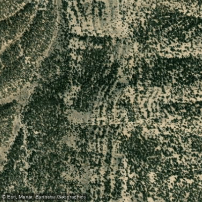
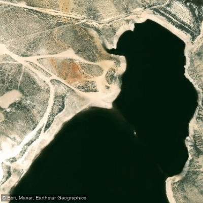
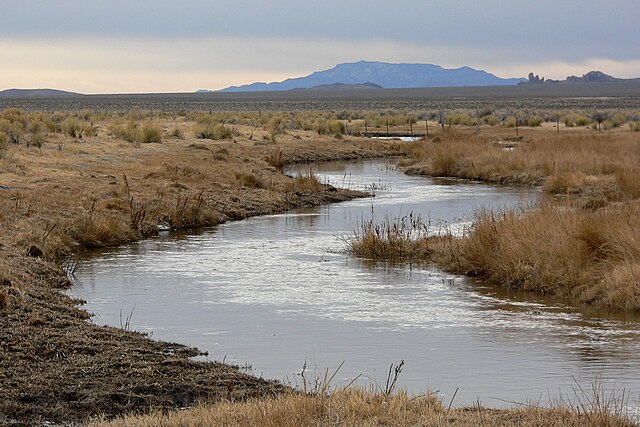
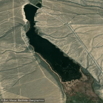
Illipah Creek, located in east-central Nevada, is a small stream that originates in the White Pine Range and flows eastward. The creek's most notable feature is the Illipah Reservoir, created in 1953 when the creek was impounded for irrigation storage. This 70-acre reservoir sits about 40 miles west of Ely along U.S. Highway 50, known as the Loneliest Road in America.
While Illipah Creek itself offers limited paddling opportunities due to its size, the reservoir provides an excellent flatwater experience for kayakers, canoeists, and tubers. The reservoir's relatively small size makes it ideal for novice paddlers and families, with calm waters and easy access points around its perimeter.
The best time to paddle Illipah Reservoir is from late spring through early fall when temperatures are mild and ice-free conditions prevail. During peak summer, the high desert climate can be quite warm, making water activities particularly refreshing.
The area surrounding Illipah Reservoir is rich in wildlife. Paddlers may spot herons, ospreys, coyotes, and even wild horses roaming the nearby hills. The reservoir is known for its excellent fishing, with rainbow trout and a self-sustaining population of brown trout.
Key points of interest include the earthen dam at the northern end of the reservoir and the scenic views of the surrounding White Pine Range. The reservoir's location near several ghost towns, including Hamilton, Belmont Mill, and Treasure City, adds historical intrigue to the area.
Access to Illipah Reservoir is primarily through the Illipah Reservoir Recreation Area, managed by the Bureau of Land Management. This area provides camping facilities, making it an ideal base for multi-day explorations of both the reservoir and the surrounding region.
Safety considerations include being prepared for high desert conditions, such as intense sun exposure and rapid weather changes. Paddlers should also be aware of fishing activities and respect designated areas.
While Illipah Reservoir doesn't offer extended multi-day paddling trips on its own, its location along the Loneliest Road in America makes it a perfect stop on a broader tour of Nevada's scenic and historic sites. Combining paddling at Illipah with visits to nearby ghost towns and Great Basin National Park can create a rich, multi-day adventure in this unique part of Nevada.
Water access, boat ramps & amenities
Learn how to get on Illipah Creek. Uncover great paddling access points, boat ramps, and all the facilities you need for an unforgettable day on the water. Some locations shown may border or include private property. Always check property boundaries and applicable regulations before visiting. PaddleWays's Public & Private Land layer can help you plan your access with confidence.
Paddle smarter with real-time insights
Whether you're en route and conditions shift or you're looking for the best spot based on current flows, we enable you to make informed decisions on the fly.








Find Places to Paddle

Over 400,000 Places to Paddle
Every user gets free access to launch points, boat ramps, and public property parcels.


Water and weather conditions (10 day forecast)
See the best times to paddle Illipah Creek and check the forecast before you go.
No forecast data available.
Explore Nevada waters
Top paddling waters
Popular Cities
Loading popular cities...
Explore near Illipah Creek
Nearby waters
More in Nevada

Smarter Paddling Starts in the App.
Paddleways gives you everything you need to plan smarter, paddle better, and own every trip from first launch to takeout.