McDaniels Marsh Boat Ramp
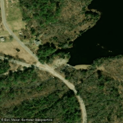
McDaniels Marsh Boat Ramp
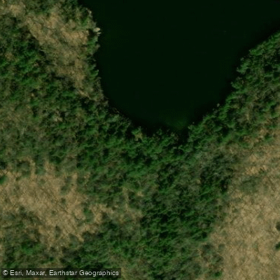
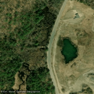
McDaniels Marsh Boat Ramp provides convenient access via a parking area at the dam located at the intersection of Bog Road and George Hill Road (2 miles from Route 114).
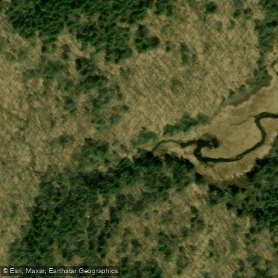
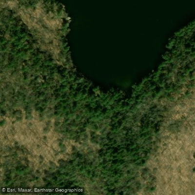
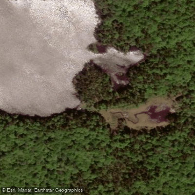
The ramp accommodates both fishing and paddling, with a deeper water channel following the former Bog Brook streambed that allows navigation through the 157-acre marsh, though much of the surrounding area is shallow with lily pads and floating islands requiring careful maneuvering.
Nearby points of interest
Find excellent paddling spots, easy access to boat ramps, and all the amenities you need for a memorable day. Your adventure starts here.
Water and weather conditions (10 day forecast)
Check the forecast at McDaniels Marsh Boat Ramp before you go paddling.
No forecast data available.
Paddling near McDaniels Marsh Boat Ramp

Merrimack River
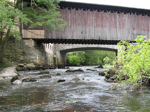
Contoocook River
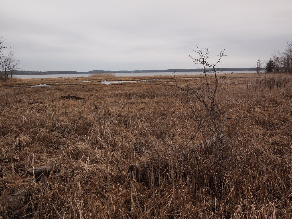
Great Bay
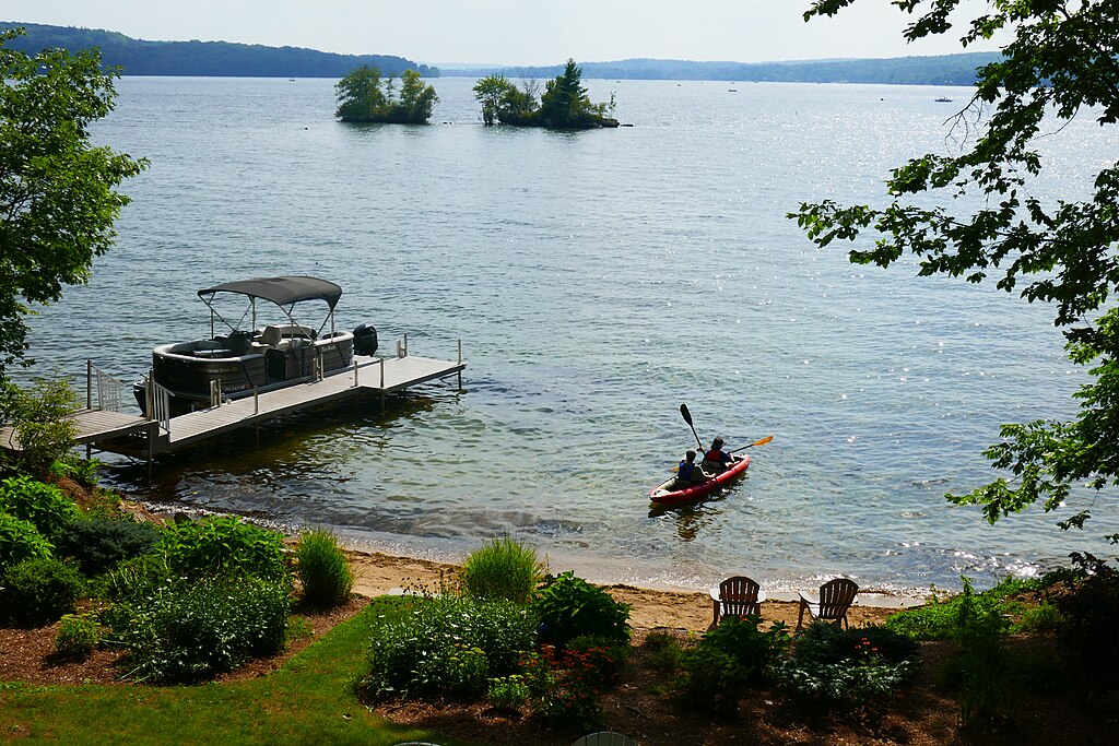
Lake Winnisquam
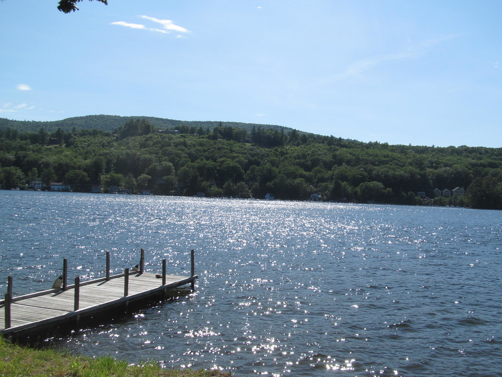
Lake Winnipesaukee
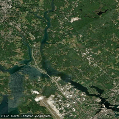
Piscataqua River
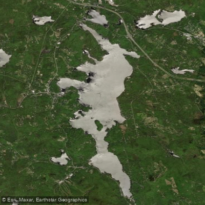
Sunapee Lake
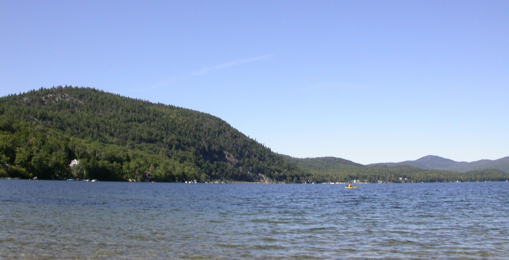
Newfound Lake
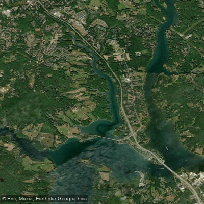
Bellamy River
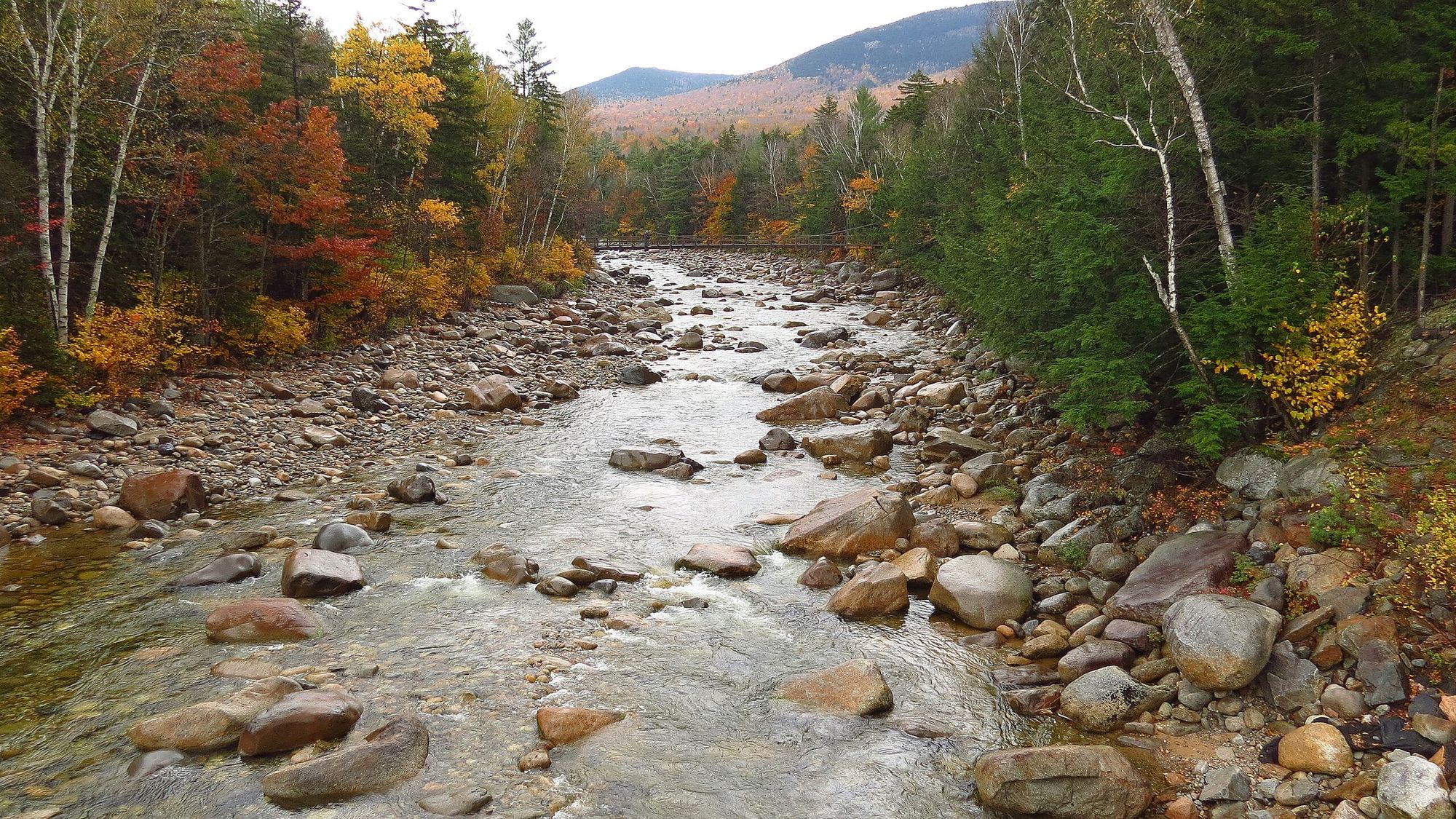
Pemigewasset River
New Hampshire licenses and regulations
Explore New Hampshire waters
Top paddling waters
No waters available right now.
Popular Cities
Loading popular cities...
Explore near McDaniels Marsh Boat Ramp
Nearby spots
Nearby waters
More in New Hampshire

Smarter Paddling Starts in the App.
Paddleways gives you everything you need to plan smarter, paddle better, and own every trip from first launch to takeout.