Bellamy River
- Saltwater
- Tidal river
Bellamy River
- Saltwater
- Tidal river
- Sq. miles
- 0.6
- Boat Ramps
- 0
- Access Points
- 1
- Campsites
- 2
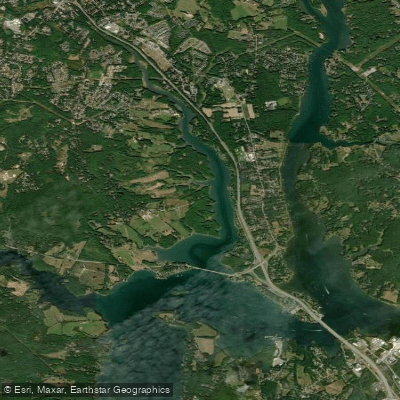
The Bellamy River is a tidal river in southeastern New Hampshire, flowing from Swains Lake in Barrington eastward through Madbury and Dover before emptying into Little Bay, part of the Great Bay estuary. Paddling here is a tidal experience, requiring careful planning around the tide cycle. The best times to paddle are typically one to two hours before high tide to ensure adequate water depth, especially in the upper reaches. Paddlers should consult local tide charts for the Bellamy River Access Wildlife Preserve area to plan trips that work with the current, avoiding strong opposing flows. The river is relatively protected from wind and open water fetch for much of its length, though conditions can change near its confluence with Little Bay.
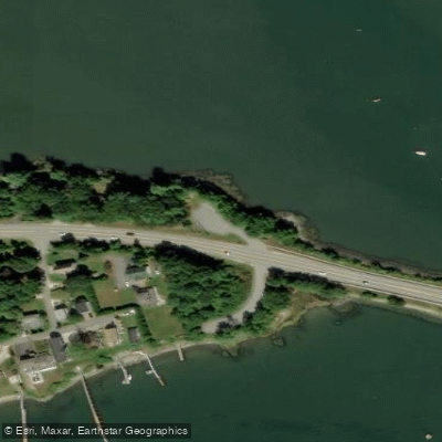
Key access points include the Cedar Point Launch in Durham, which offers a launch point with parking. Another primary access is via Bellamy Road off Route 4 in Dover, where there is a cartop launch with 24-hour, no-fee parking and seasonal restrooms; this site is managed as part of the Bellamy River Wildlife Management Area. The adjacent Bellamy River Wildlife Sanctuary, with its 400 acres of woodlands and trails, also provides public access to the river. The overall character is one of a quiet, natural exploration through tidal creeks and wetlands, with views of woodlands and the wildlife management area. The river supports diverse wildlife, and paddlers may see various bird species and other animals in the sanctuary and surrounding wetlands. The water is part of the Great Bay estuary system, and its quality is influenced by tidal flows. For a route, paddlers can explore from the Bellamy Road access downstream, with the distance one can travel limited by water depth and tide. The area is used for multiple activities including hunting, fishing, hiking, and cross-country skiing, so paddlers should be aware of other users, particularly during hunting seasons.
Water access, boat ramps & amenities
Learn how to get on Bellamy River. Uncover great paddling access points, boat ramps, and all the facilities you need for an unforgettable day on the water. Some locations shown may border or include private property. Always check property boundaries and applicable regulations before visiting. PaddleWays's Public & Private Land layer can help you plan your access with confidence.
Paddle smarter with real-time insights
Whether you're en route and conditions shift or you're looking for the best spot based on current flows, we enable you to make informed decisions on the fly.








Find Places to Paddle

Over 400,000 Places to Paddle
Every user gets free access to launch points, boat ramps, and public property parcels.


Tides, wind & water conditions (10 day forecast)
On open water, wind and tide matter as much as the weather. See the best times to paddle Bellamy River and check the marine forecast before you launch.
Loading tide predictions…
Paddling near Bellamy River
Salmon Falls River
Lake Winnipesaukee
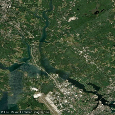
Piscataqua River
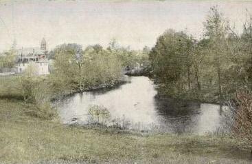
Lamprey River

Merrimack River
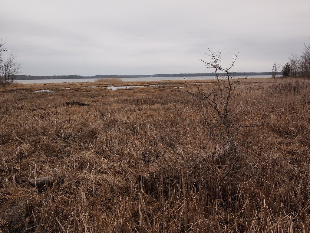
Great Bay
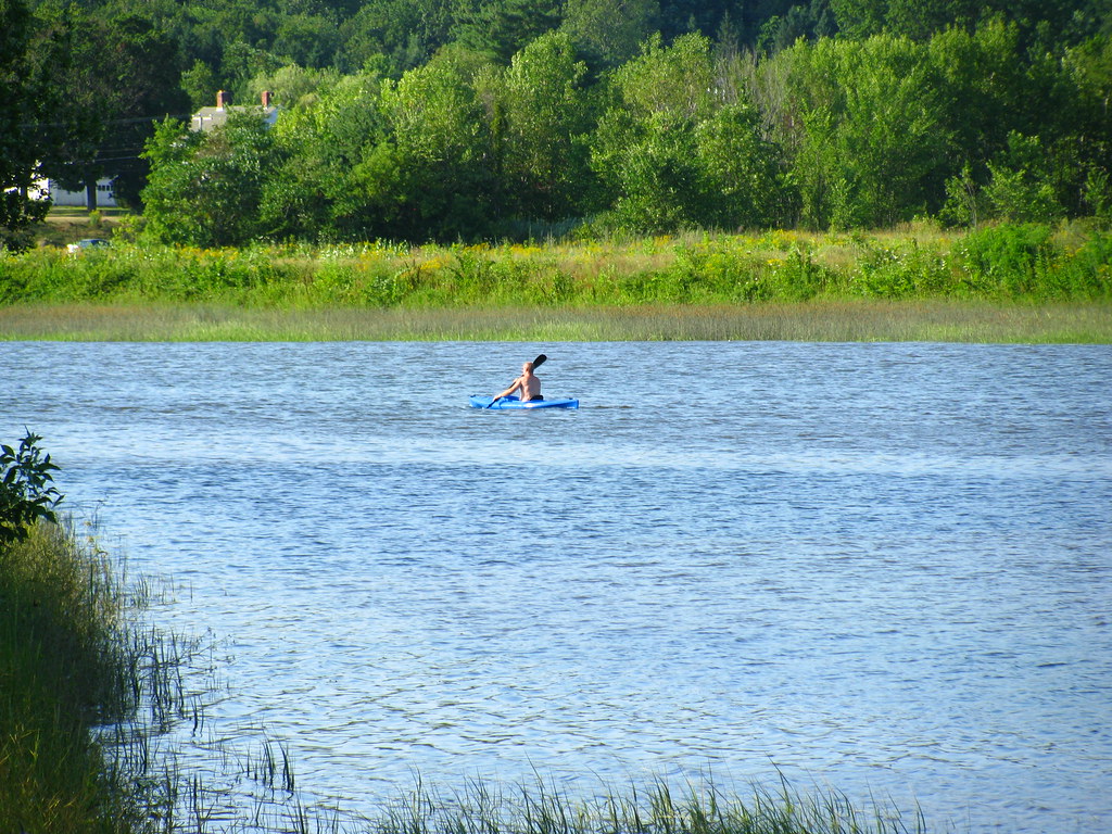
Squamscott River
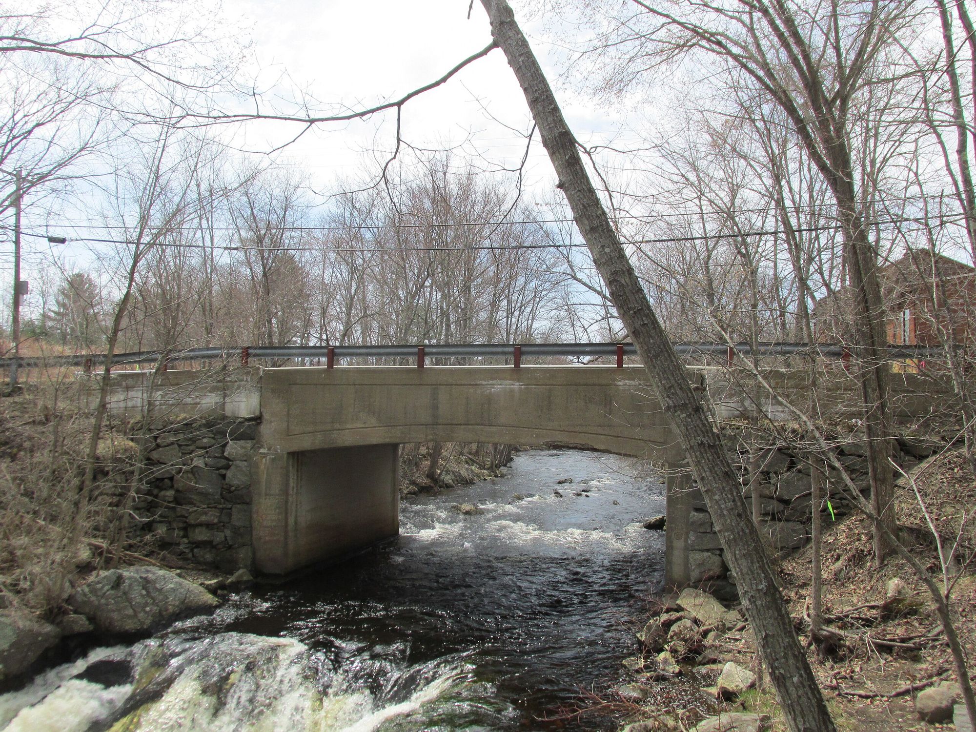
Exeter River
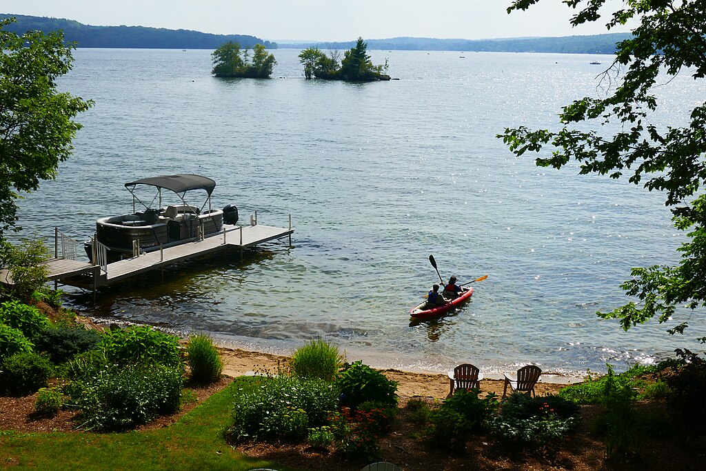
Lake Winnisquam
Explore New Hampshire waters
Top paddling waters
Popular Cities
Loading popular cities...
Explore near Bellamy River
Access points
Nearby waters
More in New Hampshire

Smarter Paddling Starts in the App.
Paddleways gives you everything you need to plan smarter, paddle better, and own every trip from first launch to takeout.