Contoocook River
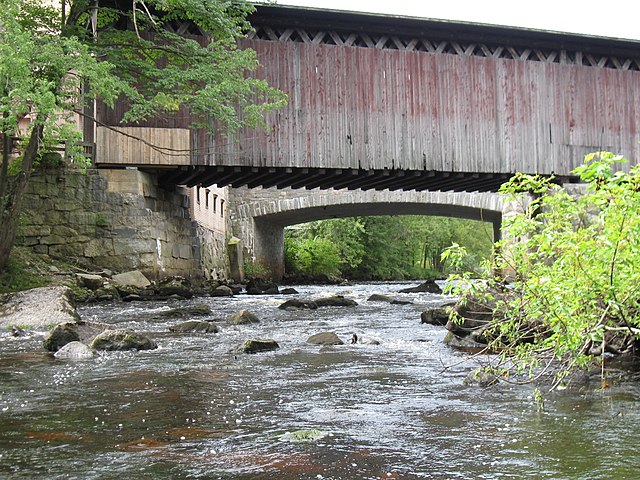
Contoocook River
- Boat Ramps
- 23
- Access Points
- 33
- Campsites
- 15
The Contoocook River is a major waterway in southern New Hampshire, flowing approximately 71 miles from its headwaters near Jaffrey to its confluence with the Merrimack River in Penacook. It is one of the few rivers in the state that flows in a generally west-to-east direction. The river offers diverse paddling opportunities, from calm flatwater sections to challenging whitewater. The upper reaches near Jaffrey and Peterborough provide scenic flatwater and Class I-II rapids suitable for novice paddlers. The middle section between Hillsborough and Henniker features the famous Class IV Freight Train rapids, a favorite among experienced whitewater enthusiasts. The lower sections near Concord offer peaceful flatwater paddling through forested landscapes.
Paddling difficulty ranges from easy flatwater to Class IV whitewater, requiring varying levels of skill. The river is generally best paddled from late spring through early fall, with higher water levels in spring providing the best whitewater conditions. Fall foliage season offers spectacular scenery for flatwater paddlers.
The Contoocook's ecosystem supports diverse wildlife, including great blue herons, bald eagles, and various fish species. Paddlers often encounter turtles basking on logs and may spot deer along the shoreline.
Key landmarks include the Contoocook Railroad Bridge, one of the oldest covered railroad bridges in the U.S., and several historic mill towns along the river's course. Powder Mill Pond, a scenic impoundment near Bennington, is a popular flatwater paddling destination.
Major access points include Riverway Park in Contoocook Village, the put-in for a popular 9-mile trip, and various locations in Jaffrey, Peterborough, Hillsborough, and Henniker. The Contoocook River Canoe Company in Concord offers rentals and shuttles for day trips.
Historically, the river powered numerous mills and was crucial to the region's industrial development. Today, it's valued for recreation and its natural beauty.
Safety considerations include checking water levels before paddling, especially for whitewater sections, and being aware of dams and portage points. Life jackets are required by state law. Multi-day trips are possible, particularly on the lower sections, though most paddlers opt for day trips due to the river's accessibility and the availability of put-in and take-out points along its course.
Water access, boat ramps & amenities
Learn how to get on Contoocook River. Uncover great paddling access points, boat ramps, and all the facilities you need for an unforgettable day on the water. Some locations shown may border or include private property. Always check property boundaries and applicable regulations before visiting. PaddleWays's Public & Private Land layer can help you plan your access with confidence.
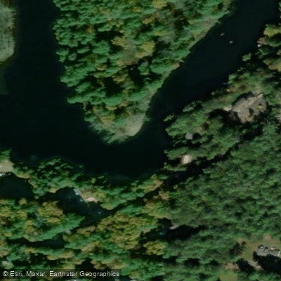
Daisy Beach Access
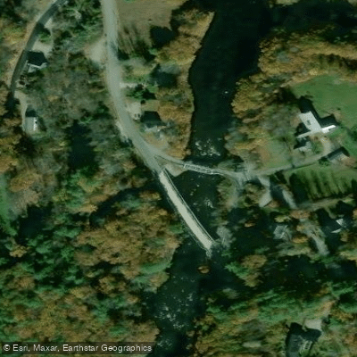
Contoocook Take-out
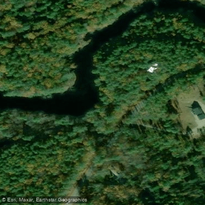
Contoocook Put-in
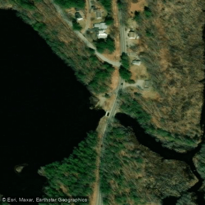
Jaffrey Access
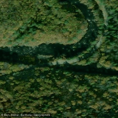
Contoocook River Access
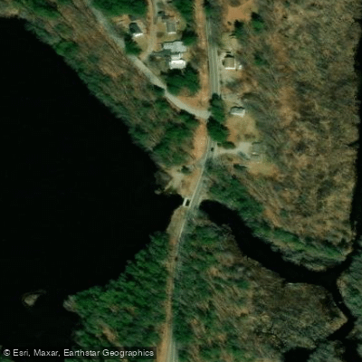
Mountain Brook Reservoir Access
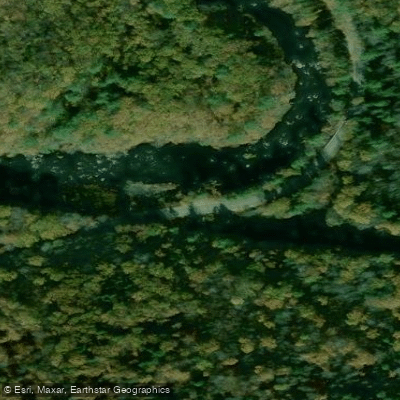
Town Conservation Area Access
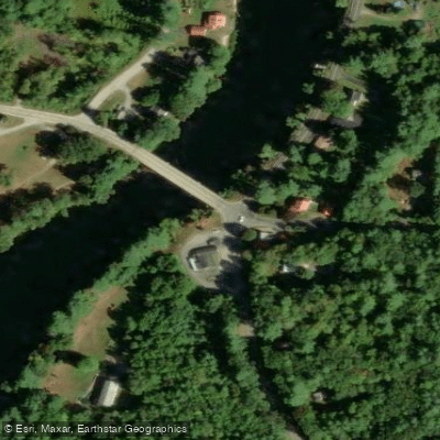
Depot Bridge Access
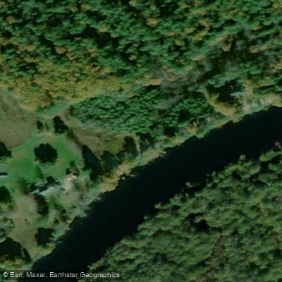
Jim Hill Riverwalk
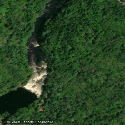
Contoocook River Park Access
Paddle smarter with real-time insights
Whether you're en route and conditions shift or you're looking for the best spot based on current flows, we enable you to make informed decisions on the fly.








Find Places to Paddle

Over 400,000 Places to Paddle
Every user gets free access to launch points, boat ramps, and public property parcels.


Water and weather conditions (10 day forecast)
See the best times to paddle Contoocook River and check the forecast before you go.
CONTOOCOOK RIVER AT PETERBOROUGH, NH
All Flow Stations
Paddling near Contoocook River

Merrimack River
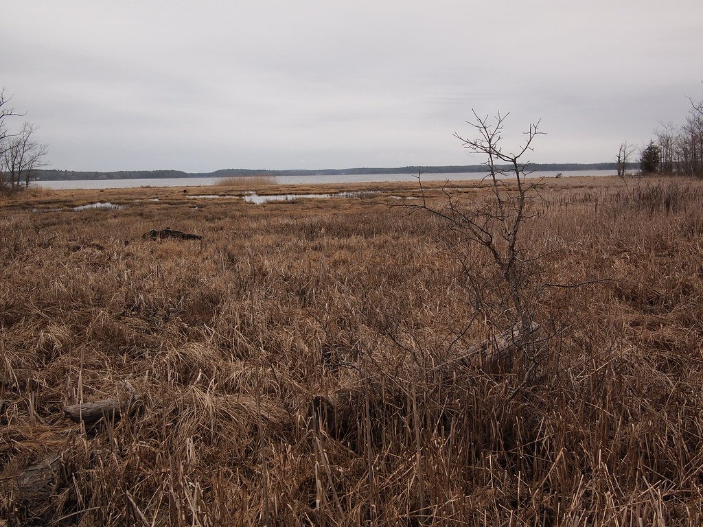
Great Bay
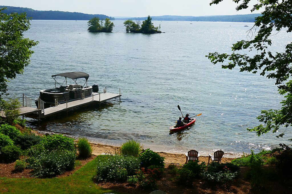
Lake Winnisquam
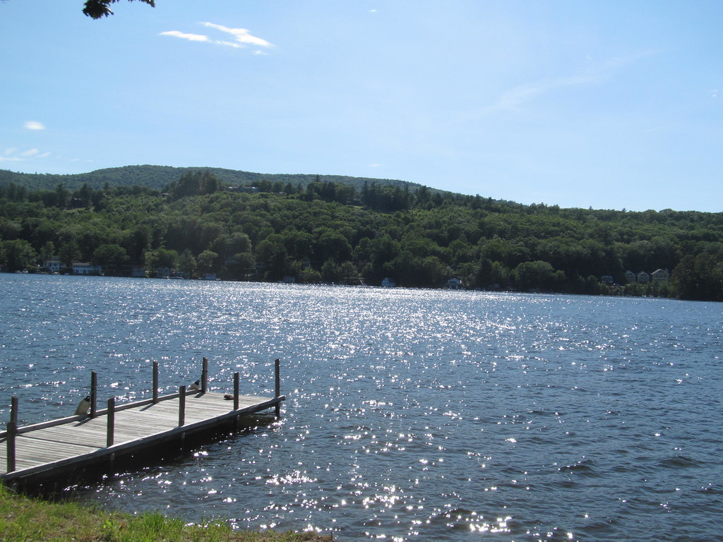
Lake Winnipesaukee
Piscataqua River
Sunapee Lake
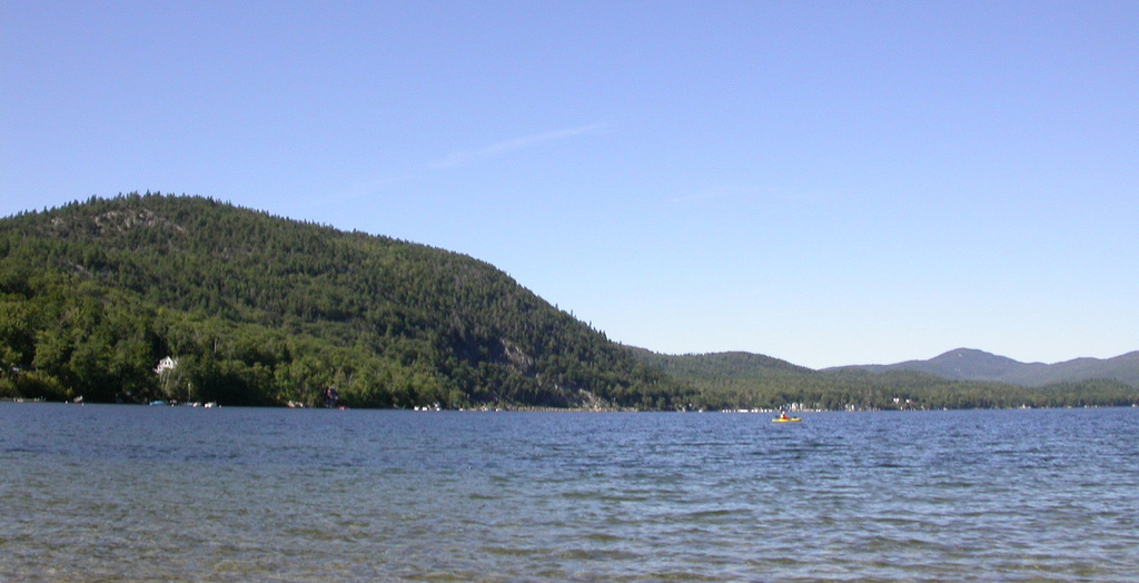
Newfound Lake
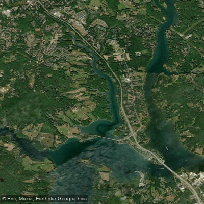
Bellamy River
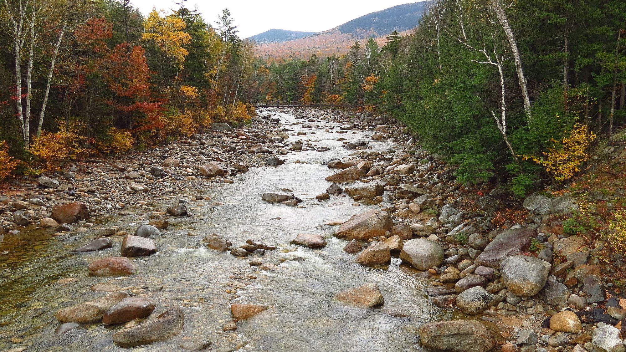
Pemigewasset River
Explore New Hampshire waters
Top paddling waters
Popular Cities
Loading popular cities...
Explore near Contoocook River
Access points
Nearby waters
More in New Hampshire

Smarter Paddling Starts in the App.
Paddleways gives you everything you need to plan smarter, paddle better, and own every trip from first launch to takeout.