Curated by PaddleWays

Contoocook River

5.6 mi flatwater route on the Contoocook River in New Hampshire

  • Flatwater

Map of the Contoocook River route, from Powdermill Pond Boat Ramp
  • Route
  • Put-in & take-out

Level right now

How Contoocook River is running today

Route facts

Contoocook River at a glance

Distance
5.6 mi
Paddle time
~2 hrs
Type
Flatwater

About this route

Paddling Contoocook River

A 5.6-mile flatwater route on the Contoocook River in Hillsborough County, New Hampshire.

Put-in & take-out

Hazards

Hazards on Contoocook River

No hazards are marked on Contoocook River yet. That is not the same as none being there: if you find one, report it for the next paddler.

From the community

Contoocook River trip reports

Real trips from PaddleWays paddlers who ran this route: how the flows were, and what to watch for.

Loading trip reports

  • Sean O.

    12 cfs at Peterborough

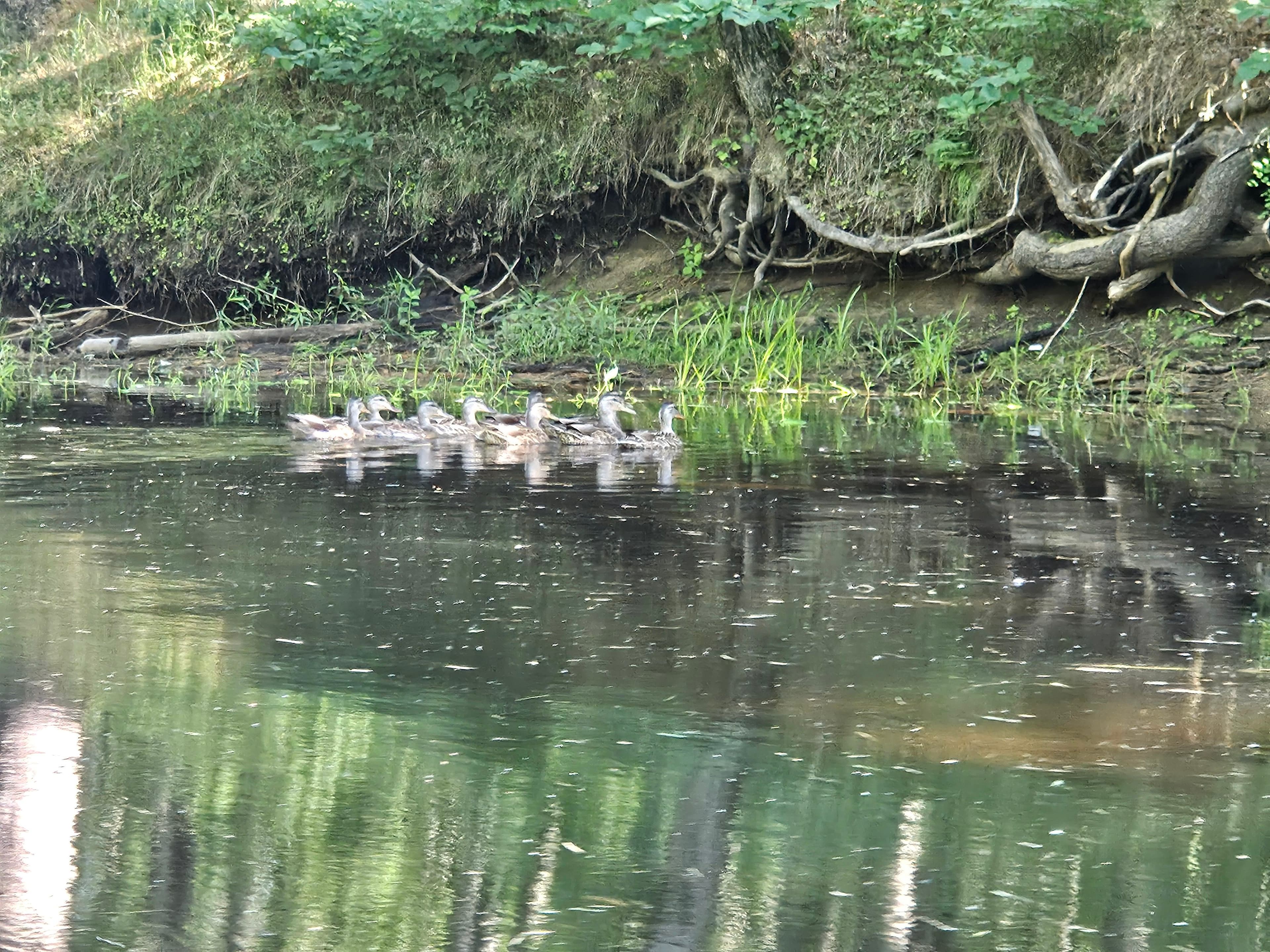
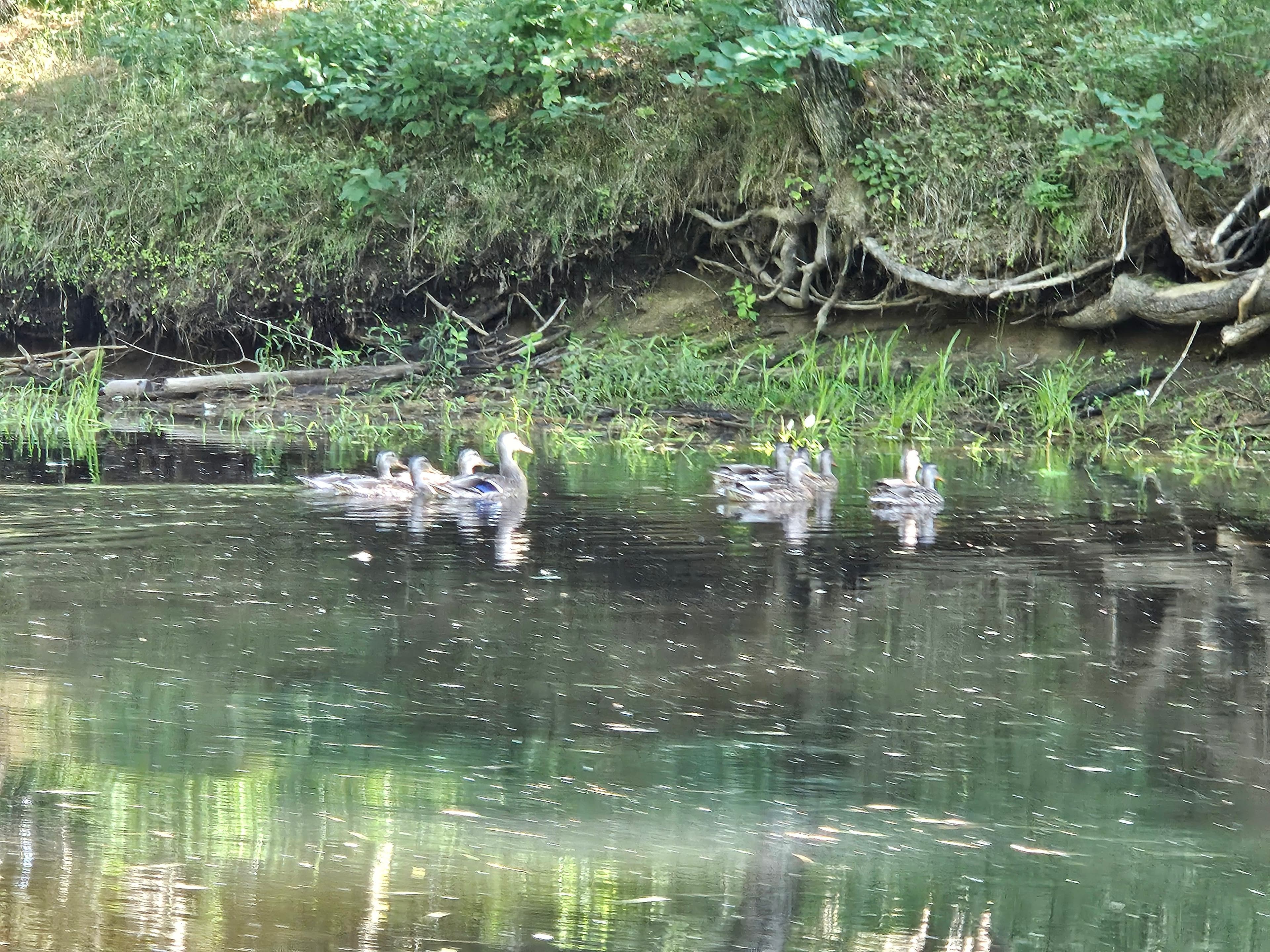
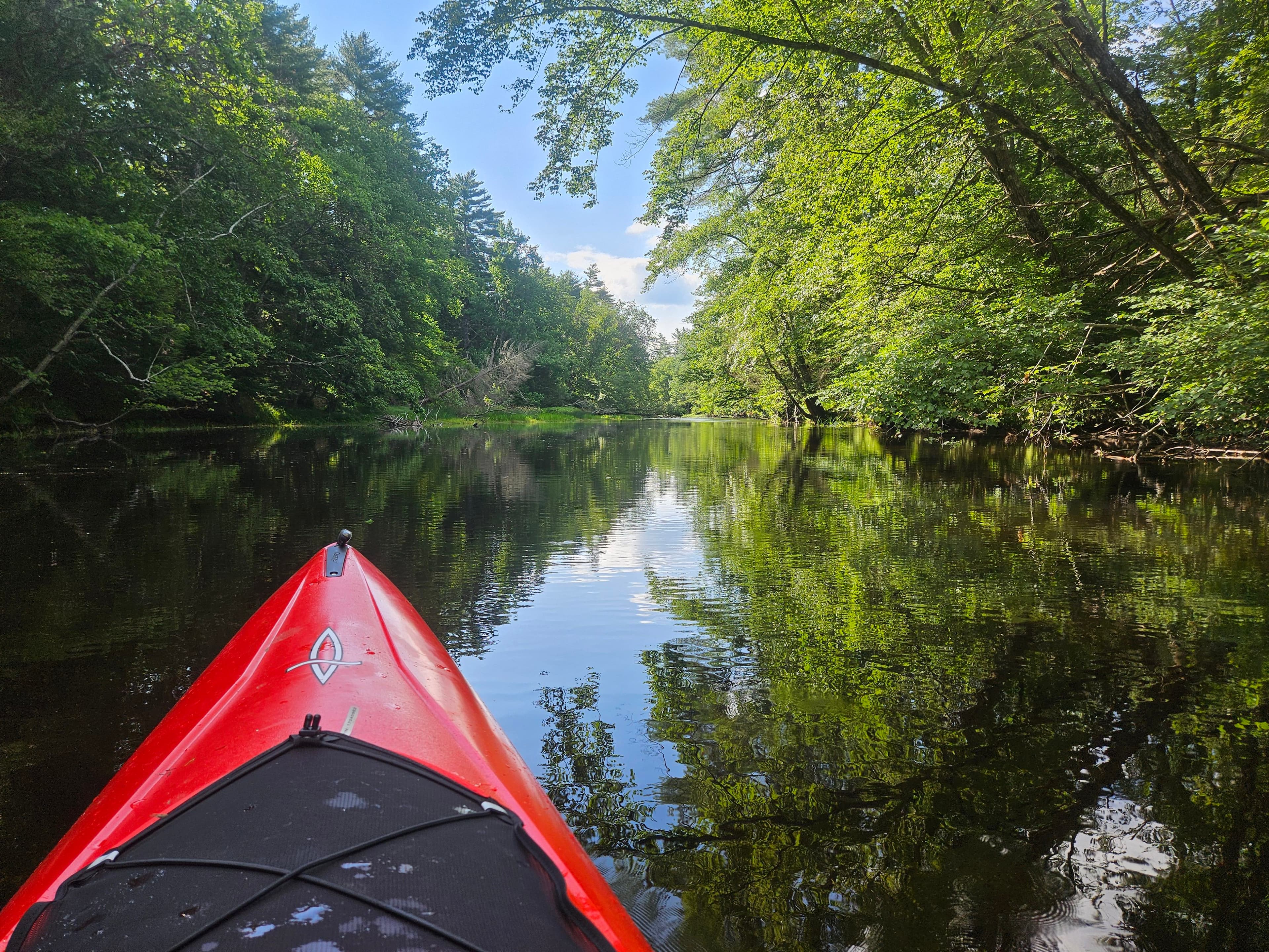
    Up stream route. There were 3 or 4 spots where the water was too low and you had to get out and drag your kayak. There were 2 log jams you had to climb over, nothing major. Over all, the water was nice and clean. I came about a mile of Peterborough, but the water became too shallow to bother. Going back stream was obviously easier. Made it over one of the log jams without getting out. I've paddled down stream into the larger body way. You can go down stream a good ways into Powder Mill Pond. The pond is awesome. You'll have to contend with motor boats. There's a dike at the very end and turn around.
    • Photo 1 from Sean O.'s trip
    • Photo 2 from Sean O.'s trip
    • Photo 3 from Sean O.'s trip+3
    Mentions: strainer, boat traffic

Flows & weather (10 day forecast)

The gauges near Contoocook River and the forecast where it starts, so you can pick your day.

No forecast data available.

Same water

More routes on the Contoocook River

The other curated routes on the Contoocook River, each with how it is running now.

Curated by PaddleWays

RouteFlatwater

Distance
7.1 mi
Paddle time
~2.5 hrs
Best for
Families
Put-in → take-out
Cedar Street Boat Ramp → Daisy Beach Access

Close by

Routes near Contoocook River

Curated routes on other waters within an hour or so, nearest first.

Curated by PaddleWays

RouteClass II–III

Distance
5.7 mi
Paddle time
~1.5 hrs
Best for
Intermediate paddlers
Put-in → take-out
Souhegan River (Greenville Road) Access → Route 101 Bridge Access
Curated by PaddleWays

RouteClass I–II

Distance
4.3 mi
Paddle time
~1.5 hrs
Best for
Beginners, intermediate paddlers
Put-in → take-out
Depot Street Access → South Branch Piscataquog River Boat Ramp
Curated by PaddleWays

RouteClass III–IV

Distance
8.3 mi
Paddle time
~2 hrs
Best for
Experienced paddlers
Put-in → take-out
Lake Horace Access → Clough State Park Boat Ramp
Difficult rapids and dam-controlled releases
Curated by PaddleWays

RouteClass I–II

Distance
2.2 mi
Paddle time
1 hr
Best for
All skill levels
Put-in → take-out
Route 122 Access → Scott Property Boat Ramp
Curated by PaddleWays

RouteClass II–III

Distance
4.2 mi
Paddle time
~1 hr
Best for
Intermediate paddlers
Put-in → take-out
Gilsum Gorge Access → Shaw's Corner Access

Smarter Paddling Starts in the App.

PaddleWays gives you everything you need to plan smarter, paddle better, and own every trip from first launch to takeout.