Curated by PaddleWays
RouteClass III–IV
- Distance
- 8.3 mi
- Paddle time
- ~2 hrs
- Best for
- Experienced paddlers
- Put-in → take-out
- Lake Horace Access → Clough State Park Boat Ramp
Difficult rapids and dam-controlled releases
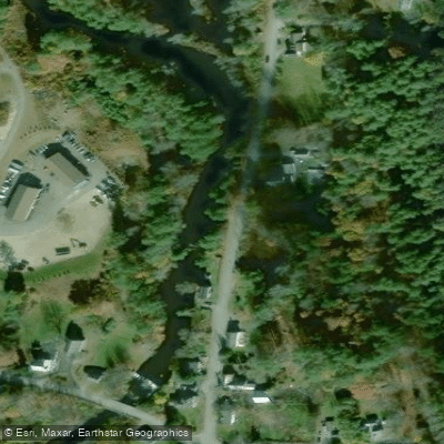
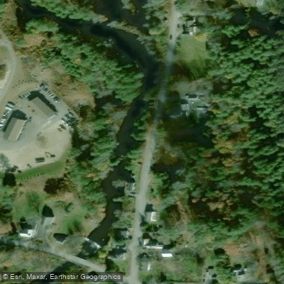
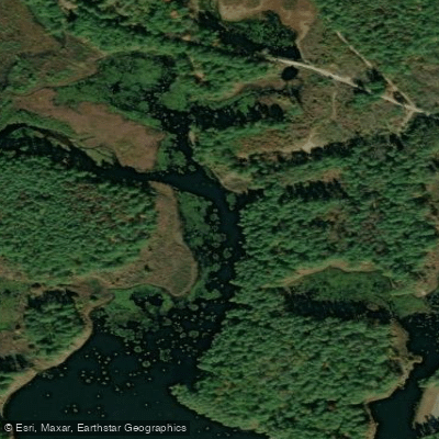
The Piscataquog River is a significant waterway in southern New Hampshire, originating in the town of Deering and flowing generally southeast for approximately 35 miles before joining the Merrimack River in Manchester. The river system consists of three main branches - the North, Middle, and South branches - which converge in Goffstown to form the main stem. Paddling opportunities on the Piscataquog range from flatwater to challenging whitewater, offering something for all skill levels.
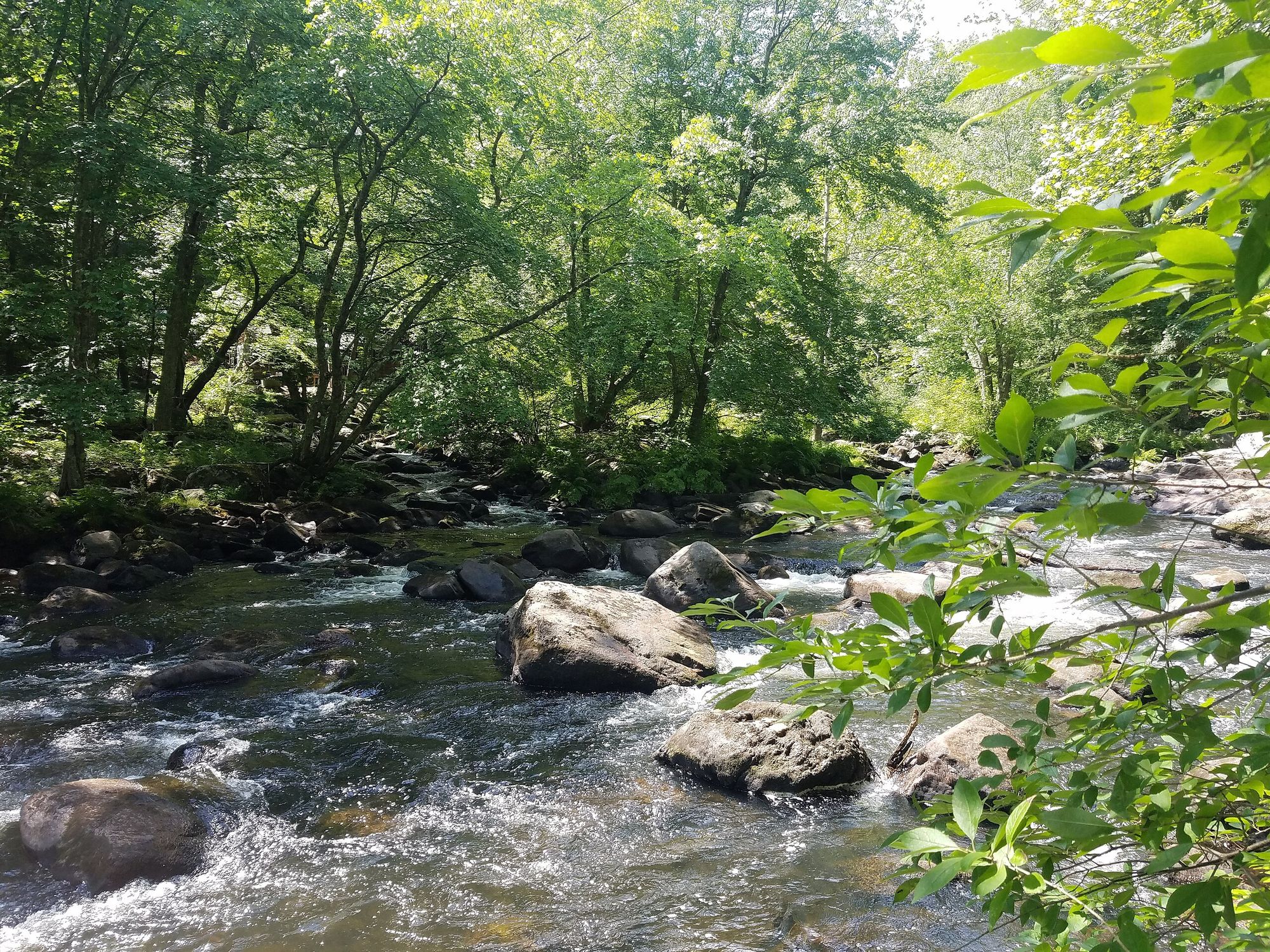
The upper reaches of the North Branch provide thrilling class III-IV rapids during dam releases from Lake Horace, while the South Branch offers a more relaxed class I-II experience suitable for beginners and intermediates. Notable paddling sections include the Goffstown run, featuring the popular class II Gregg's Falls, and the flatwater stretches of Glen Lake and Namaske Lake. The river's difficulty varies significantly by section and water level, with the North Branch requiring advanced whitewater skills and the lower sections being appropriate for novices. Spring typically offers the best paddling conditions, with snowmelt and rainfall providing ample flow. Fall dam releases on the North Branch are eagerly anticipated by whitewater enthusiasts.
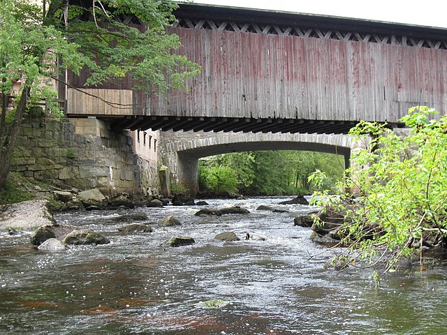
The Piscataquog's ecosystem supports diverse wildlife, including great blue herons, bald eagles, and various fish species. The river corridor is characterized by stands of white pine and hardwood forests, providing scenic beauty and important habitat. Key landmarks include the Everett Dam, Glen Lake, and the historic mill buildings in Goffstown village. Access points are numerous, with popular put-ins in New Boston, Goffstown, and Manchester. The Piscataquog Trail in Manchester offers a paved path along the lower river, ideal for combining paddling with cycling or walking.
Historically, the river powered numerous mills and was an important transportation route for Native Americans and early settlers. Today, it remains a vital recreational resource and an important part of the region's natural heritage. Safety considerations include being aware of dam releases, checking water levels, and respecting private property along the shores. Multi-day trips are possible by combining different sections, with camping available at nearby state parks.
The Piscataquog River offers a diverse paddling experience, from serene flatwater to exhilarating rapids, all within easy reach of New Hampshire's largest cities, making it a treasured resource for outdoor enthusiasts in the Granite State.
Curated routes
Hand-picked by the PaddleWays team, with put-ins, take-outs, paddle times and the hazards along the way.
RouteClass III–IV
Hazards
No paddler has reported a hazard here yet, so these are the dams, falls and big rapids on our map. Hazards change with flows and storms, so check them before you launch.
From the community
Nobody has shared a trip on Piscataquog River yet. Paddle it, then tell the next paddler how it went.
See exactly where the public can get on and off the river. Launch points and boat ramps are paired with PaddleWays' public land data so you know where you can legally land.
Public shoreline
3%of the river's shoreline is public
Most of the riverbank is private. Launch, land and camp only at public access points.
Flows, weather and a route-by-route verdict, so you know which stretch of the Piscataquog River is worth paddling today.
Live flows, marked hazards and fresh trip reports from paddlers who were just on the water, all in one place.





Every user gets free access to launch points, boat ramps, and public property parcels.

Loading popular cities...
PaddleWays gives you everything you need to plan smarter, paddle better, and own every trip from first launch to takeout.