Curated by PaddleWays
RouteFlatwater
- Distance
- 4.7 mi
- Paddle time
- ~1.5 hrs
- Put-in → take-out
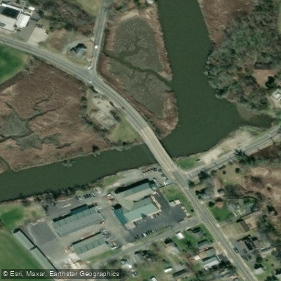
- Alloway Creek Access → Hancock House Historic Site Access
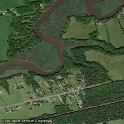
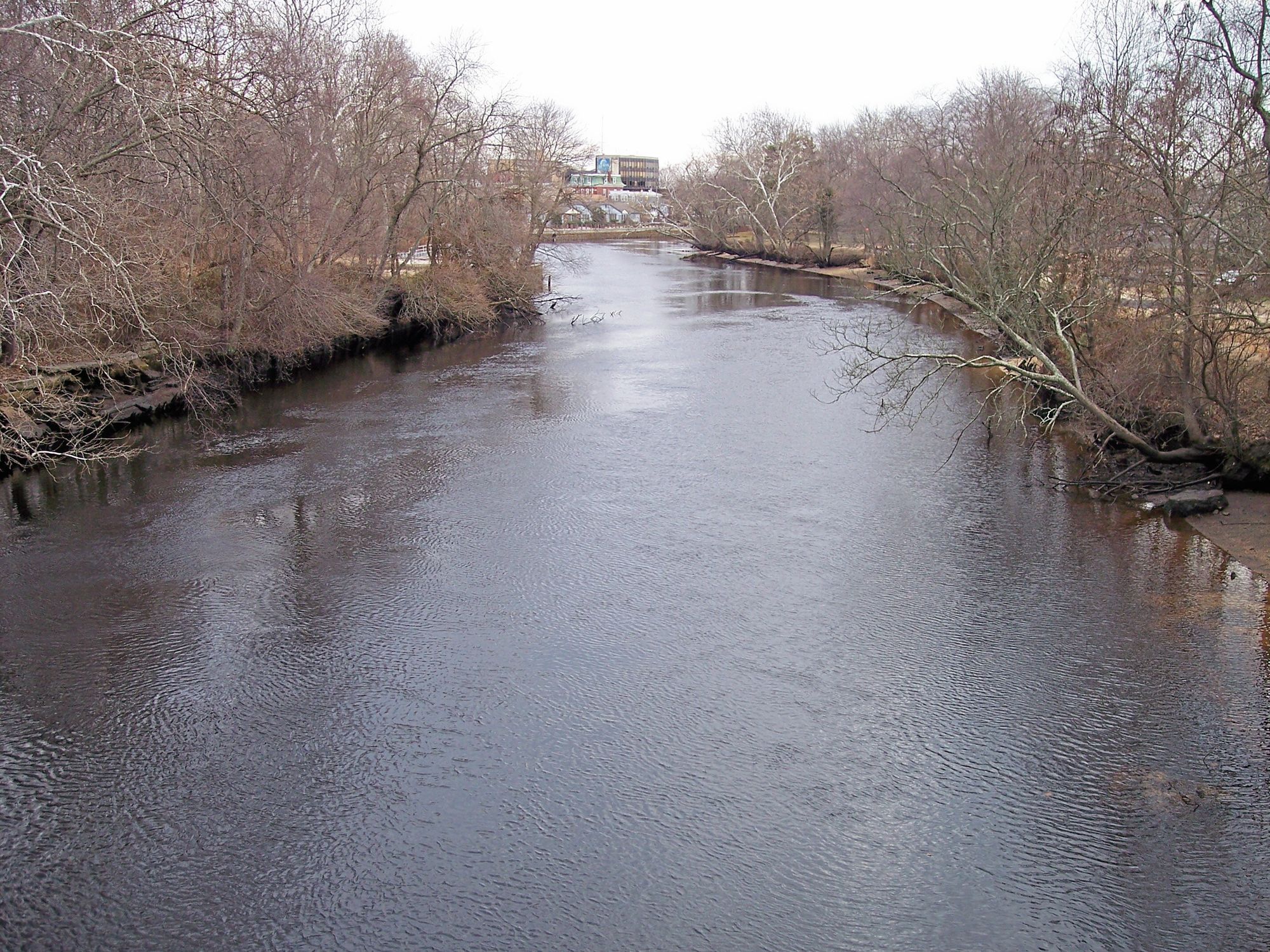
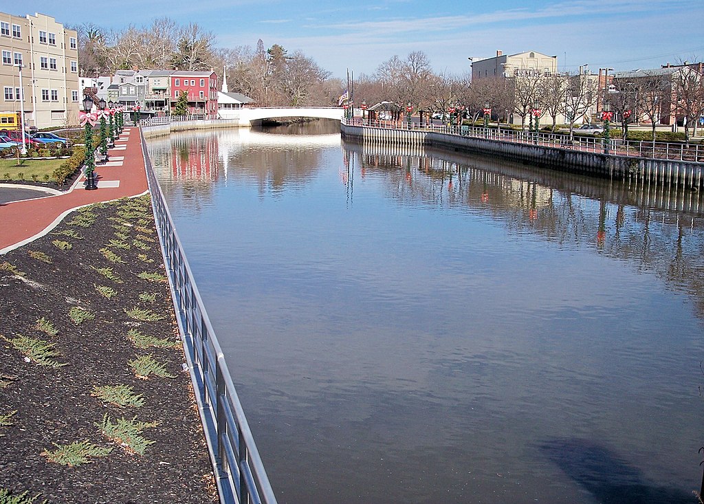
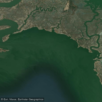
Alloway Creek is a 23.2-mile long tributary of the Delaware River located in Salem County, New Jersey. This mostly tidal creek originates near the town of Alloway and flows generally westward, eventually emptying into the Delaware River. The Alloway Creek watershed covers approximately 75 square miles, accounting for about 20% of Salem County's land area.
Paddling opportunities on Alloway Creek offer a unique experience in a remote rural setting. The main stem, also known as the Alloway Creek Tidal Section, stretches from Quinton, NJ to the confluence with the Delaware River. This flatwater section is influenced by tides, providing paddlers with changing water levels and flow directions throughout the day. The creek's tidal nature requires some planning, but offers an interesting paddling dynamic. The difficulty level is generally easy, suitable for beginners to intermediate paddlers. However, tidal influences can create stronger currents at times, so awareness of tidal schedules is important. The best paddling times are typically 2-3 hours before and after high tide when water levels are higher.
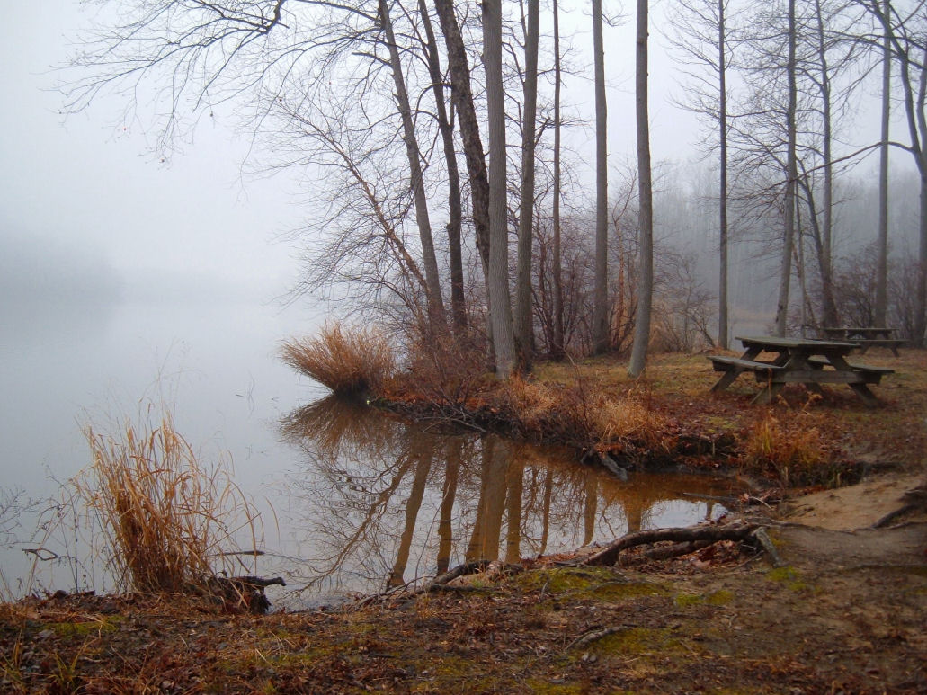
Alloway Creek's ecosystem provides essential habitat for various wildlife. Paddlers may encounter wading birds, waterfowl, and possibly bald eagles. The surrounding wetlands and forests host a diverse array of plant life adapted to the tidal environment.
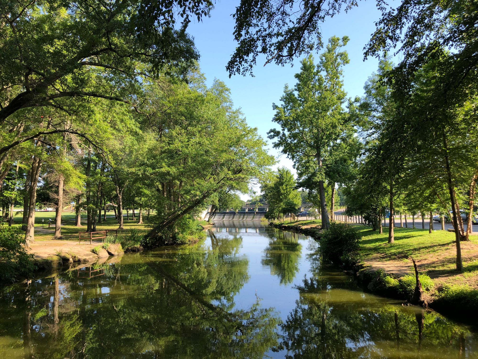
A key feature along the creek is Alloway Lake, located near the town of Alloway. This serene lake offers additional flatwater paddling opportunities, with a public boat ramp located at 26 East Canal Street. Paddlers can explore the lake itself, a lagoon on the east side, and potentially venture into Alloway Creek past the Alloway Road bridge, though finding a clear path may be challenging.
Access points for Alloway Creek include Quinton for the main stem and the Alloway Lake ramp for lake paddling. The creek's remote nature means limited facilities along most of its length, so paddlers should come prepared with necessary supplies.
Historically, the creek has been known by various names, including Aloes River and Monmouth River, reflecting its long-standing importance to the region. The name Alloway is derived from Allowas, a Native American chief.
Safety considerations include being aware of tidal schedules, watching for submerged obstacles, and respecting private property along the shoreline. As a tidal waterway, Alloway Creek is subject to New Jersey's tidal waters regulations. While primarily suited for day trips, the creek's length could potentially support overnight adventures for experienced paddlers willing to camp along the route. However, paddlers should verify camping regulations and obtain necessary permissions before planning such trips.
Curated routes
Hand-picked by the PaddleWays team, with put-ins, take-outs, paddle times and the hazards along the way.
RouteFlatwater
Hazards
No paddler has reported a hazard here yet, so these are the dams, falls and big rapids on our map. Hazards change with flows and storms, so check them before you launch.
From the community
Nobody has shared a trip on Alloway Creek yet. Paddle it, then tell the next paddler how it went.
See exactly where the public can get on and off the river. Launch points and boat ramps are paired with PaddleWays' public land data so you know where you can legally land.
Public shoreline
5%of the river's shoreline is public
Most of the riverbank is private. Launch, land and camp only at public access points.
Flows, weather and a route-by-route verdict, so you know which stretch of the Alloway Creek is worth paddling today.
Live flows, marked hazards and fresh trip reports from paddlers who were just on the water, all in one place.





Every user gets free access to launch points, boat ramps, and public property parcels.

Loading popular cities...
PaddleWays gives you everything you need to plan smarter, paddle better, and own every trip from first launch to takeout.