Cheesequake Creek
- Saltwater
- Tidal creek
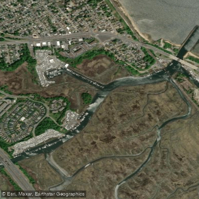
Cheesequake Creek
- Saltwater
- Tidal creek
- Sq. miles
- 0.1
- Boat Ramps
- 1
- Access Points
- 0
- Campsites
- 1
Cheesequake Creek is a tidal saltwater estuary feeding into Raritan Bay within Cheesequake State Park in Old Bridge, Middlesex County. The paddling experience is defined by its tidal nature and coastal marsh environment. A primary public launch point is Old Bridge Waterfront Park on Rt-35 at Cliffwood Way in Laurence Harbor, where a beach provides access. The creek flows through the heart of Cheesequake State Park, where freshwater from inland sources meets saltwater from the bay, creating a unique brackish ecosystem. The area is characterized by saltmarshes with tall grasses, muddy banks, and a network of tidal channels. Paddlers can expect to see a variety of birdlife, including herons, egrets, osprey, and marsh wrens, as well as diamondback terrapins and fiddler crabs along the banks. The overall character is a natural, marshy escape within a developed region, though paddlers should be aware of significant water quality concerns. A portion of the adjacent Raritan Bay coastline, specifically the seawall in the Laurence Harbor area, is a designated Superfund site due to lead and other metal contamination from historical industrial slag. While cleanup work has occurred, the area remains fenced-off and officially off-limits; toxins are known to leach into the water and be carried by currents. Guided commercial kayak tours are offered on the creek by organizations like NY/NJ Baykeeper and Kayak East, which provide all necessary equipment. These tours sometimes include stops at features like the "Crabbing Bridge" for ecological interpretation. For independent paddlers, access within the state park itself may be limited, with one source noting that kayak access is only available as part of a paid tour. The creek is suitable for kayaks, canoes, and stand-up paddleboards. Paddlers should plan their trips carefully around the tides, as the entire experience is governed by tidal flow in and out of Raritan Bay.
Water access, boat ramps & amenities
Learn how to get on Cheesequake Creek. Uncover great paddling access points, boat ramps, and all the facilities you need for an unforgettable day on the water. Some locations shown may border or include private property. Always check property boundaries and applicable regulations before visiting. PaddleWays's Public & Private Land layer can help you plan your access with confidence.
Paddle smarter with real-time insights
Whether you're en route and conditions shift or you're looking for the best spot based on current flows, we enable you to make informed decisions on the fly.








Find Places to Paddle

Over 400,000 Places to Paddle
Every user gets free access to launch points, boat ramps, and public property parcels.


Tides, wind & water conditions (10 day forecast)
On open water, wind and tide matter as much as the weather. See the best times to paddle Cheesequake Creek and check the marine forecast before you launch.
Loading tide predictions…
Paddling near Cheesequake Creek

Raritan River

Hudson River
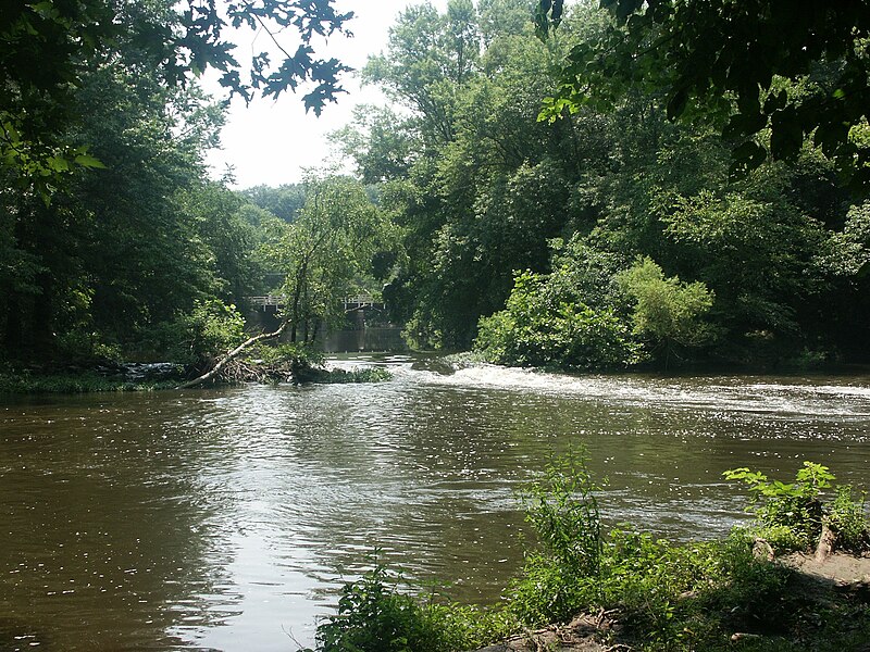
Millstone River
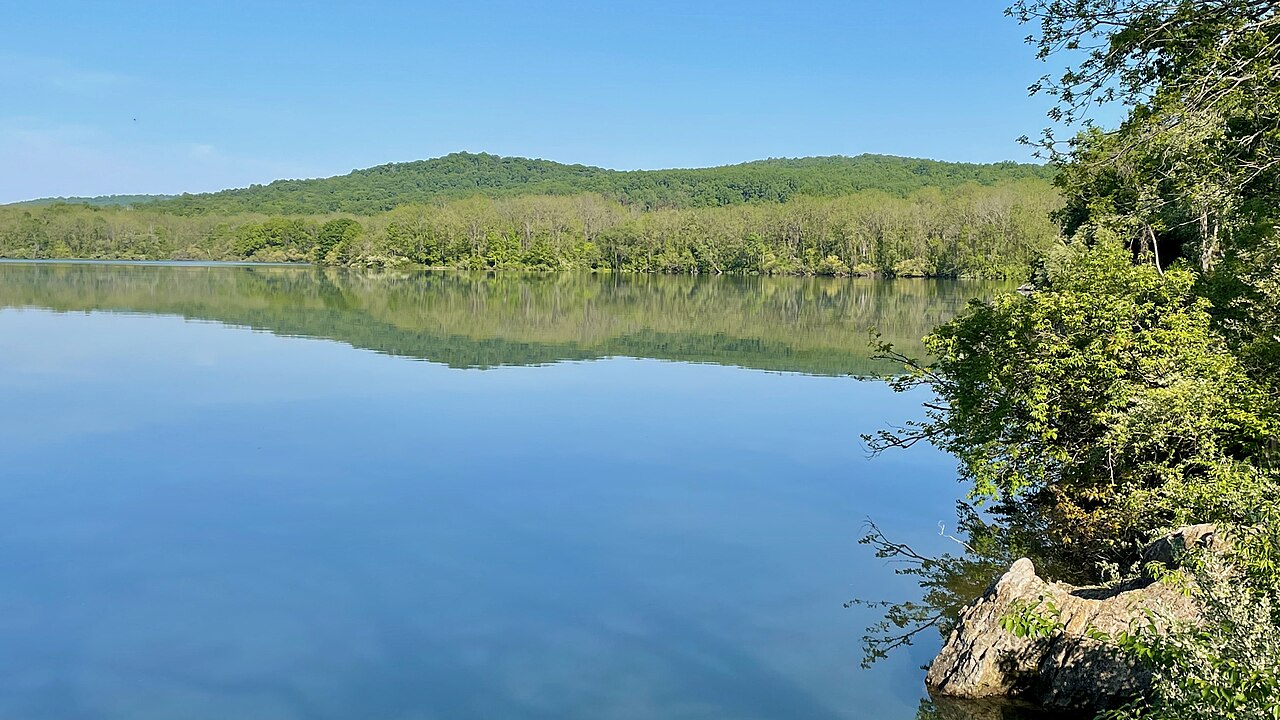
Spruce Run Reservoir
Washington Canal

Delaware River
Lake Hopatcong
Hooks Creek Lake Beach
South Branch Raritan River
Explore New Jersey waters
Top paddling waters
Popular Cities
Loading popular cities...
Explore near Cheesequake Creek
Access points
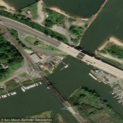
- Zuback's Heavy Metal Marine Boat Ramp
- Cheesequake Creek Bridge
- Cheesequake Creek & Ramp Bridge
- Cheesequake Creek Bridge
- Cheesequake Park Road Bridge
- Ocean Boulevard Bridge
- Whale Creek Bridge
- Matawan Creek Bridge
- Cheesequake Creek Bridge
- Luppatatong Creek Bridge
- Lefferts Lake Bridge
- Lefferts Lake Bridge
- All 36 spots
Nearby waters
More in New Jersey

Smarter Paddling Starts in the App.
Paddleways gives you everything you need to plan smarter, paddle better, and own every trip from first launch to takeout.