Washington Canal
- Saltwater
- Sea area
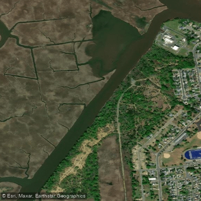
Washington Canal
- Saltwater
- Sea area
- Sq. miles
- 0
- Boat Ramps
- 0
- Access Points
- 0
- Campsites
- 0
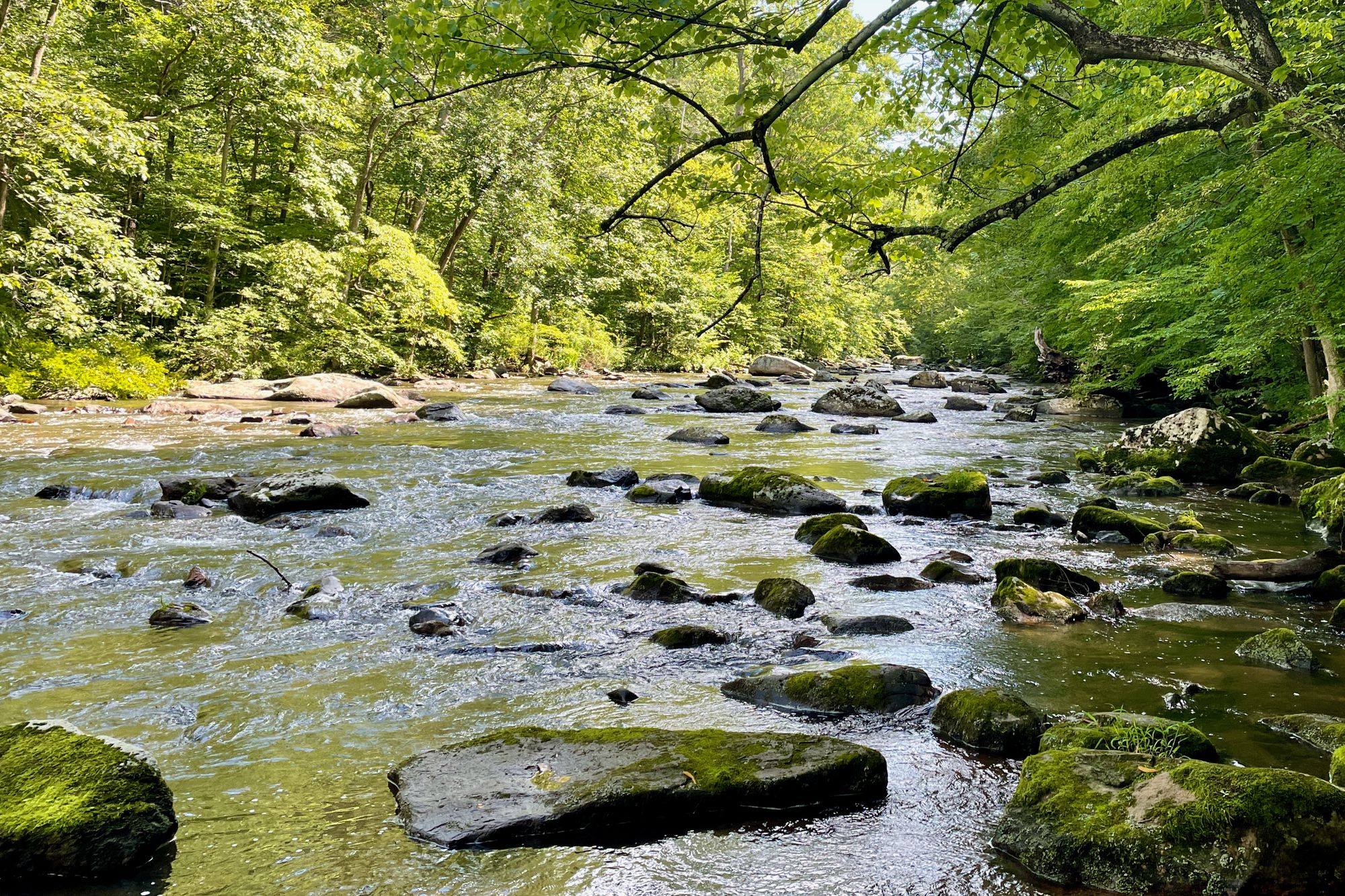
The George Washington Canal, often abbreviated as the GW Canal, is a historic, artificial channel on the Virginia shore of the Potomac River near Seneca Falls. It was originally dug in 1785 and now functions as an island channel, offering a more intimate, small-river experience separate from the main, wide flow of the Potomac. This section is known for Class I-II rapids. The canal is a key feature of several popular paddling loops that involve crossing the Potomac River. Common access points for these trips are on the Maryland side at Violette's Lock or Pennyfield Lock, with trips often requiring a shuttle setup to Riley's Lock or Pennyfield Lock for a downstream take-out. The route from Violette's Lock involves putting in above Seneca Breaks, paddling across the Potomac to the Virginia side aiming for a landmark like the American Flag at the Trump Golf Course to locate the canal entrance. Navigating the canal exit is a specific challenge; it winds around islands and can be missed, which would require paddlers to continue across the river to their intended Maryland take-out. One popular loop avoids a shuttle by running the canal and then returning to Violette's Lock via either the flatwater C&O Canal or by attaining back up Seneca Breaks, for a total trip length of about three miles. Paddlers should be prepared for cold water immersion even in summer, as water temperatures can be in the mid-60s Fahrenheit while air temperatures are much warmer, making appropriate apparel like dry tops or wetsuits advisable, especially for children. Safety equipment including PFDs is required, and helmets are required for kayakers using spray skirts and highly recommended for all others on these trips. The area is valued as an easily accessible location for learning and recreational paddling near Washington, D.C.
Water access, boat ramps & amenities
Learn how to get on Washington Canal. Uncover great paddling access points, boat ramps, and all the facilities you need for an unforgettable day on the water. Some locations shown may border or include private property. Always check property boundaries and applicable regulations before visiting. PaddleWays's Public & Private Land layer can help you plan your access with confidence.
Paddle smarter with real-time insights
Whether you're en route and conditions shift or you're looking for the best spot based on current flows, we enable you to make informed decisions on the fly.








Find Places to Paddle

Over 400,000 Places to Paddle
Every user gets free access to launch points, boat ramps, and public property parcels.


Tides, wind & water conditions (10 day forecast)
On open water, wind and tide matter as much as the weather. See the best times to paddle Washington Canal and check the marine forecast before you launch.
Loading tide predictions…
Paddling near Washington Canal

Raritan River

Hudson River
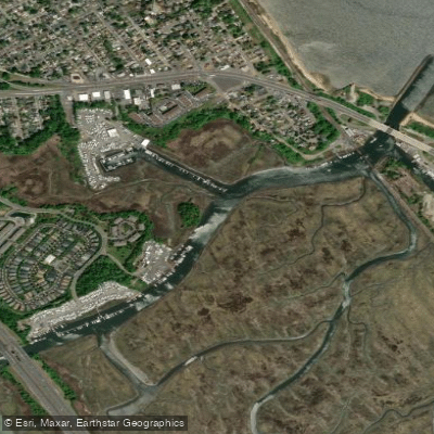
Cheesequake Creek
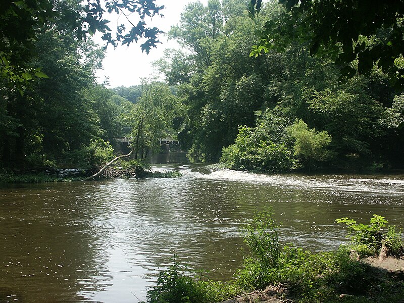
Millstone River
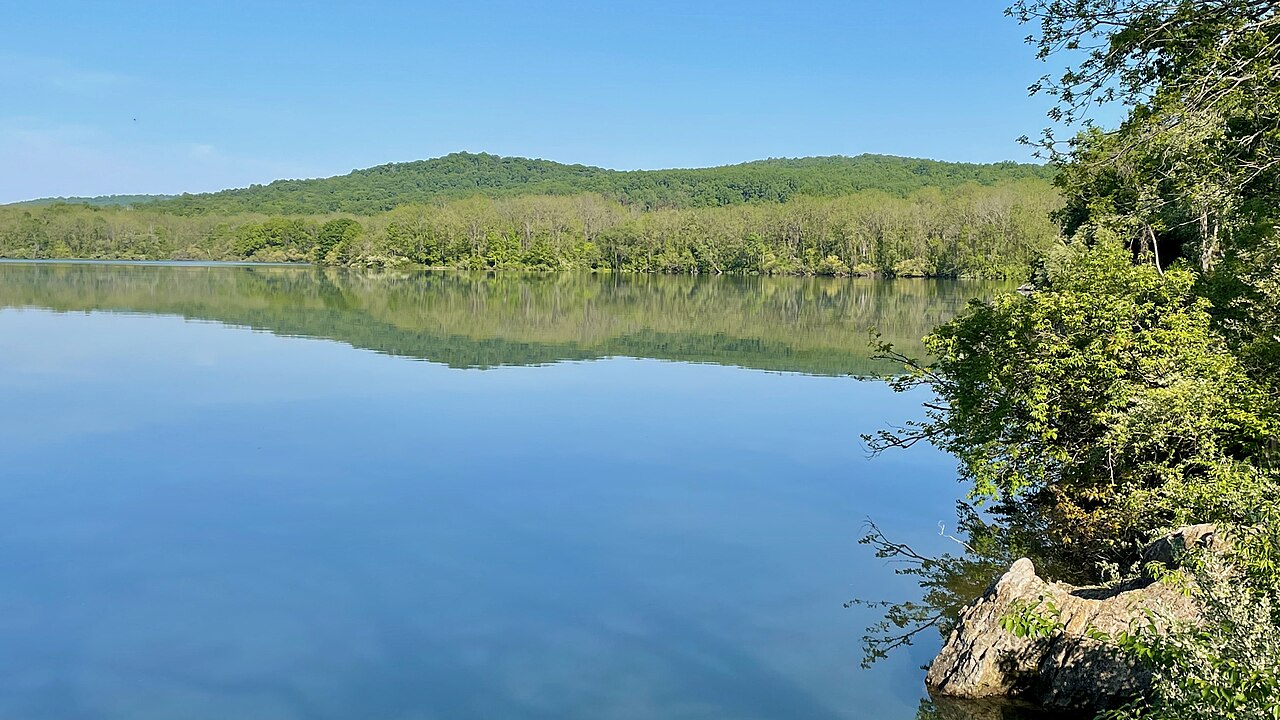
Spruce Run Reservoir

Delaware River
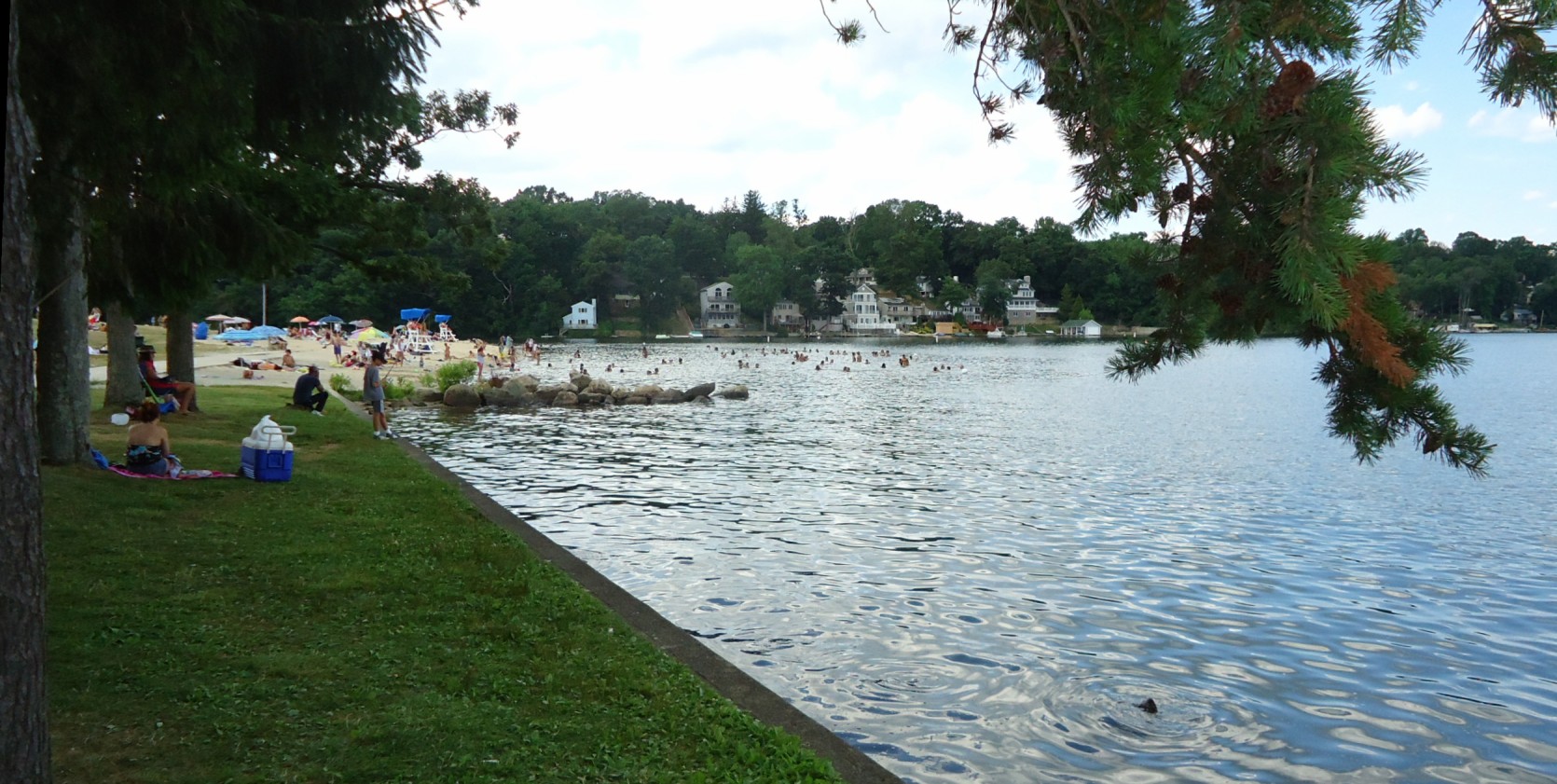
Lake Hopatcong
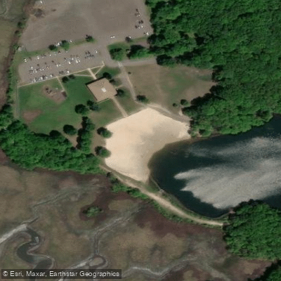
Hooks Creek Lake Beach
South Branch Raritan River
Explore New Jersey waters
Top paddling waters
Popular Cities
Loading popular cities...
Explore near Washington Canal
Access points
Nearby waters
More in New Jersey

Smarter Paddling Starts in the App.
Paddleways gives you everything you need to plan smarter, paddle better, and own every trip from first launch to takeout.