Curated by PaddleWays
RouteFlatwater
- Distance
- 12.2 mi
- Paddle time
- ~4 hrs
- Best for
- Kayak, canoe
- Put-in → take-out
- Bloomfield Ave Access → Two Bridges Access
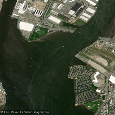
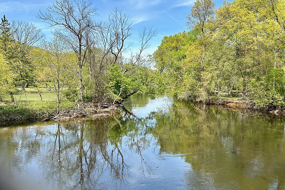
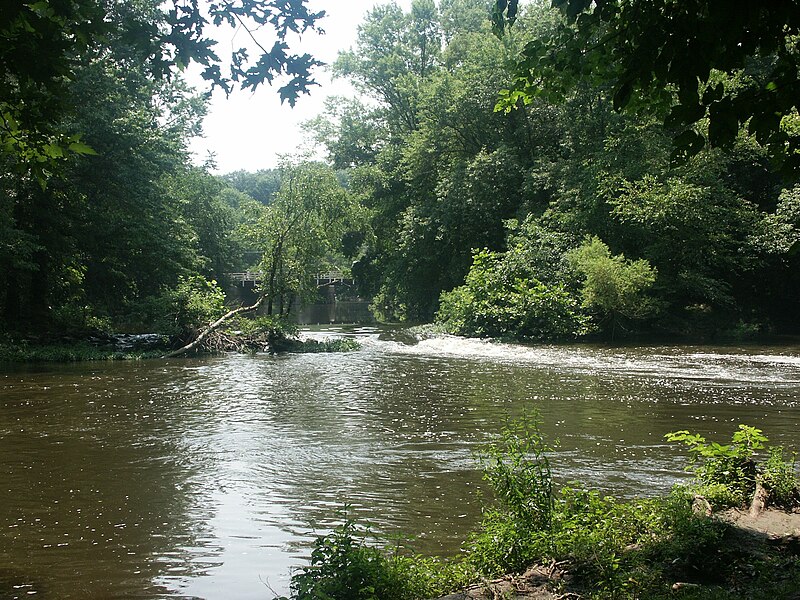
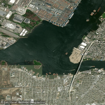
The Passaic River is a diverse and historically significant waterway that winds its way through northern New Jersey for approximately 80 miles. Beginning in the Great Swamp National Wildlife Refuge, the river flows through a variety of landscapes before emptying into Newark Bay.
Paddlers on the Passaic can experience a wide range of conditions, from serene flatwater stretches to challenging whitewater sections. The Upper Passaic River Water Trail offers a mix of environments, starting in the tranquil wetlands of the Great Swamp and progressing through more urban areas.
The Lower Passaic River Blueway, a 32-mile stretch from Two Bridges to Kearny Point, provides a unique urban paddling experience with 20 public launch sites. The river's difficulty varies greatly, making it suitable for paddlers of all skill levels.
Beginners can enjoy calm flatwater sections like the West Essex Park Water Trail or the Great Piece Meadows area, while more experienced paddlers can test their skills on some of New Jersey's most challenging whitewater in the upper sections.
Spring and fall are generally the best seasons for paddling the Passaic, offering comfortable temperatures and adequate water levels. Summer can be enjoyable for flatwater sections, but paddlers should be aware of potential low water conditions in some areas.
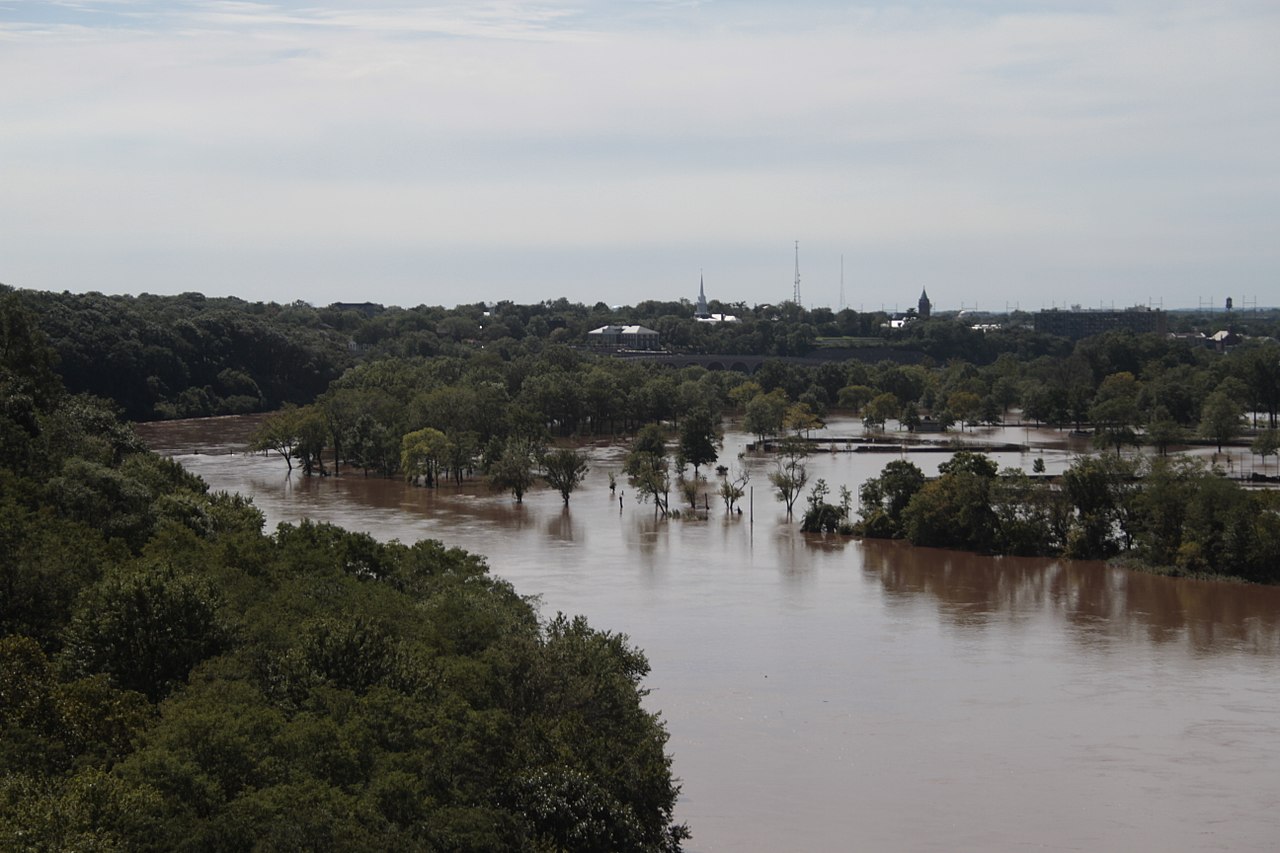
The river's ecosystem supports a diverse array of wildlife, particularly in the Great Swamp area where paddlers might spot various bird species, turtles, and even the occasional deer along the banks. The Great Piece Meadows section offers a unique opportunity to explore a preserved floodplain that often becomes inundated during high water events.
Notable landmarks along the Passaic include the Great Falls in Paterson, a 77-foot waterfall that played a crucial role in the area's industrial development. The river passes through several historic towns, including Paterson, Newark, and Fairfield, each offering a glimpse into New Jersey's rich cultural heritage.
Access points are plentiful, with popular put-ins including the Great Swamp National Wildlife Refuge, Pompton Lake, and various locations in Paterson and Newark. The Passaic River Blueway Map is an invaluable resource for paddlers, detailing access points, portages, and mileage information.
Safety considerations are paramount, especially in urban areas where water quality can be a concern due to the river's industrial past. Paddlers should always check current conditions and be aware of any advisories. In some sections, such as near the Great Falls, portaging is necessary and clearly marked.
For those seeking a multi-day adventure, the full 80-mile journey from the Great Swamp to Newark Bay offers a comprehensive experience of the river's diverse character. This trip typically takes 3-5 days, depending on skill level and desired pace.
The Passaic River, with its blend of natural beauty and urban landscapes, offers a unique paddling experience that showcases the environmental and historical complexity of northern New Jersey. Whether you're seeking a peaceful nature retreat or an urban exploration, the Passaic has something to offer for every paddler.
Curated routes
Hand-picked by the PaddleWays team, with put-ins, take-outs, paddle times and the hazards along the way.
RouteFlatwater
RouteFlatwater
RouteClass I–IV
Hazards
No paddler has reported a hazard here yet, so these are the dams, falls and big rapids on our map. Hazards change with flows and storms, so check them before you launch.
From the community
Nobody has shared a trip on Passaic River yet. Paddle it, then tell the next paddler how it went.
See exactly where the public can get on and off the river. Launch points and boat ramps are paired with PaddleWays' public land data so you know where you can legally land.
Public shoreline
47%of the river's shoreline is public
Most of the riverbank is private. Launch, land and camp only at public access points.
Flows, weather and a route-by-route verdict, so you know which stretch of the Passaic River is worth paddling today.
All Flow Stations
Live flows, marked hazards and fresh trip reports from paddlers who were just on the water, all in one place.





Every user gets free access to launch points, boat ramps, and public property parcels.

Loading popular cities...
PaddleWays gives you everything you need to plan smarter, paddle better, and own every trip from first launch to takeout.